Musconetcong River
The Musconetcong River starts at Lake Hopatcong and flows west through northwest NJ. It joins the Delaware River at Riegelsville. Much, but not all of it, is navigable by kayak.
Musconetcong River #1: Riverside Park Stanhope to Saxton Falls Dam
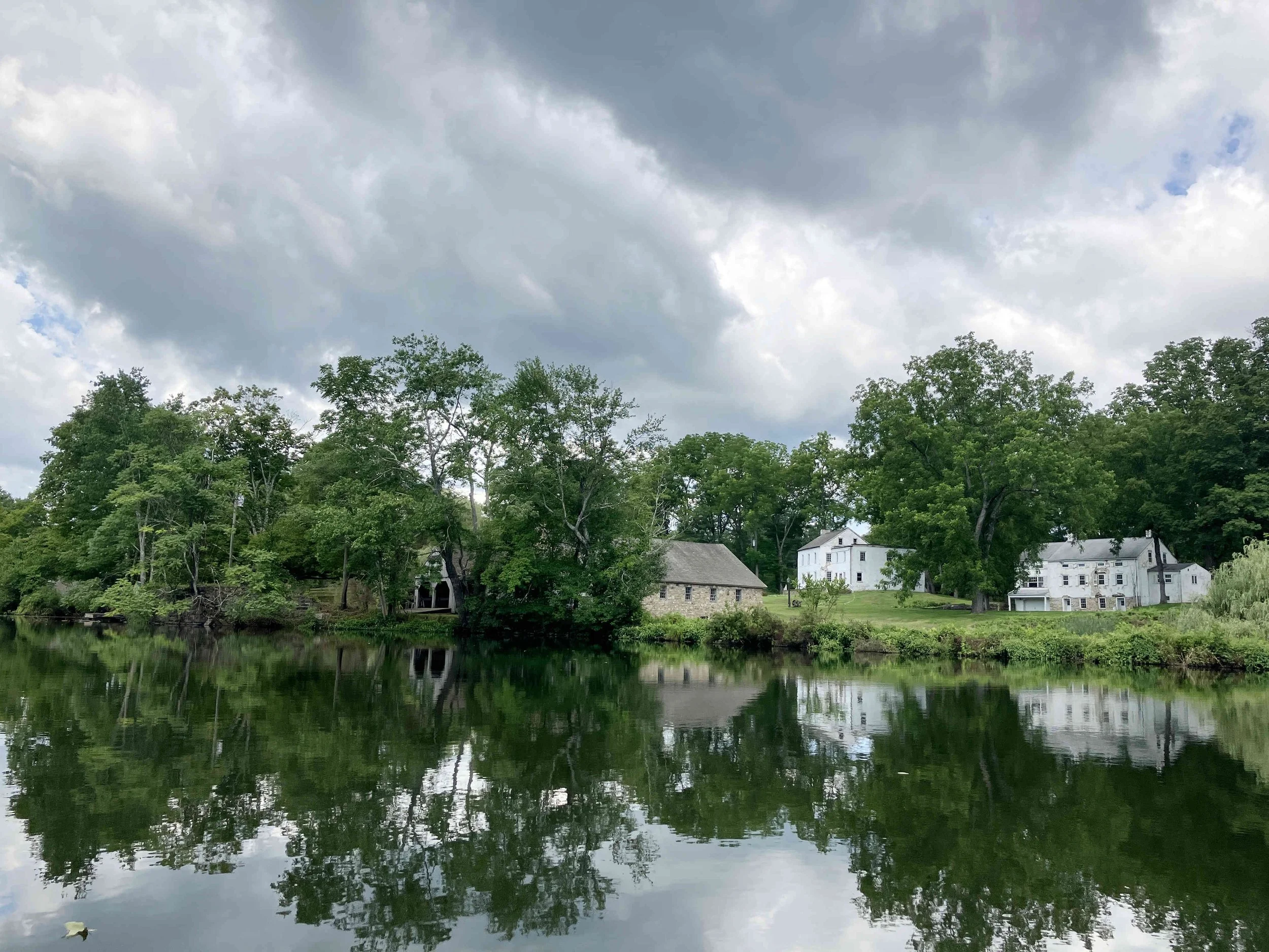
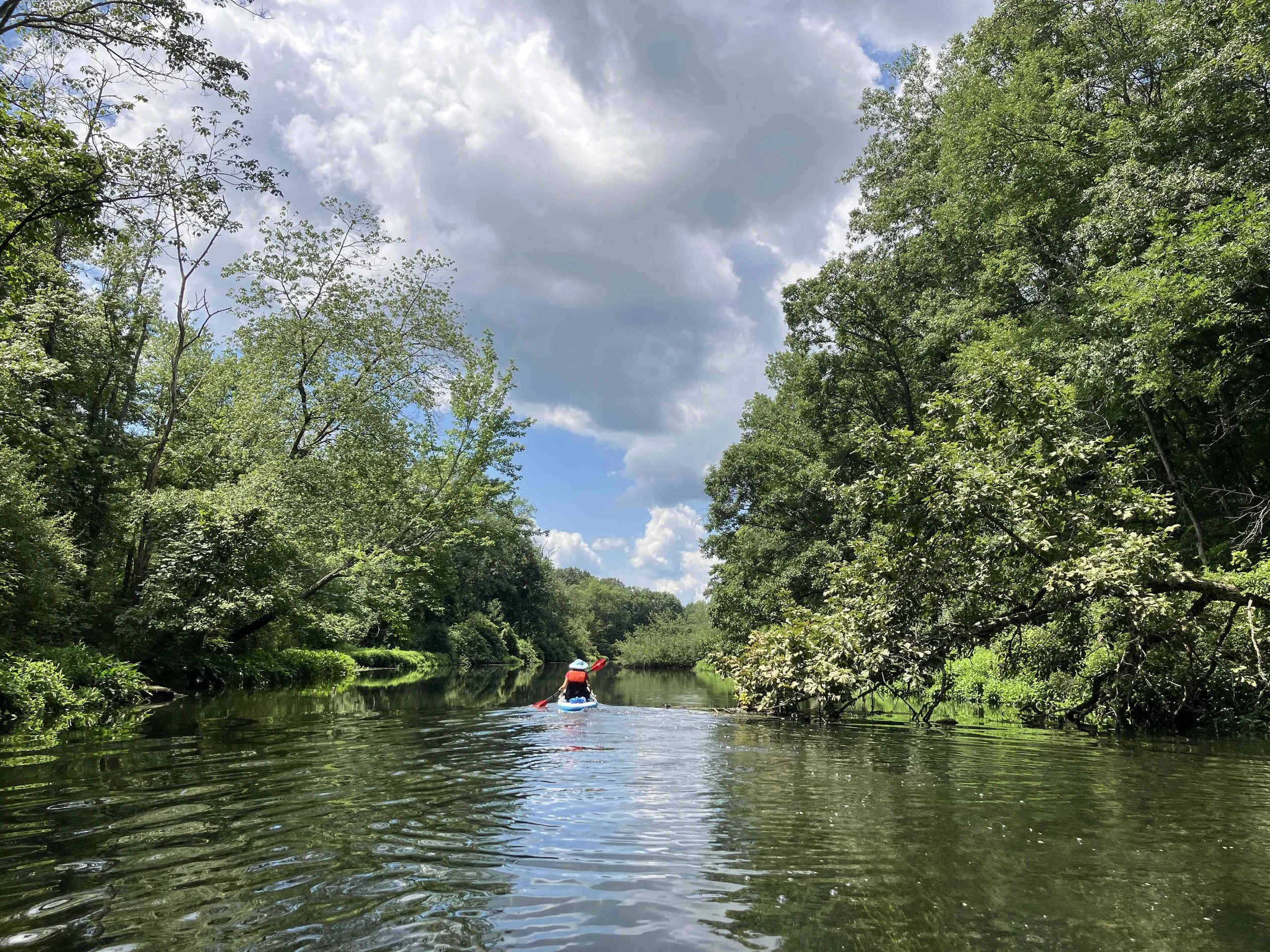
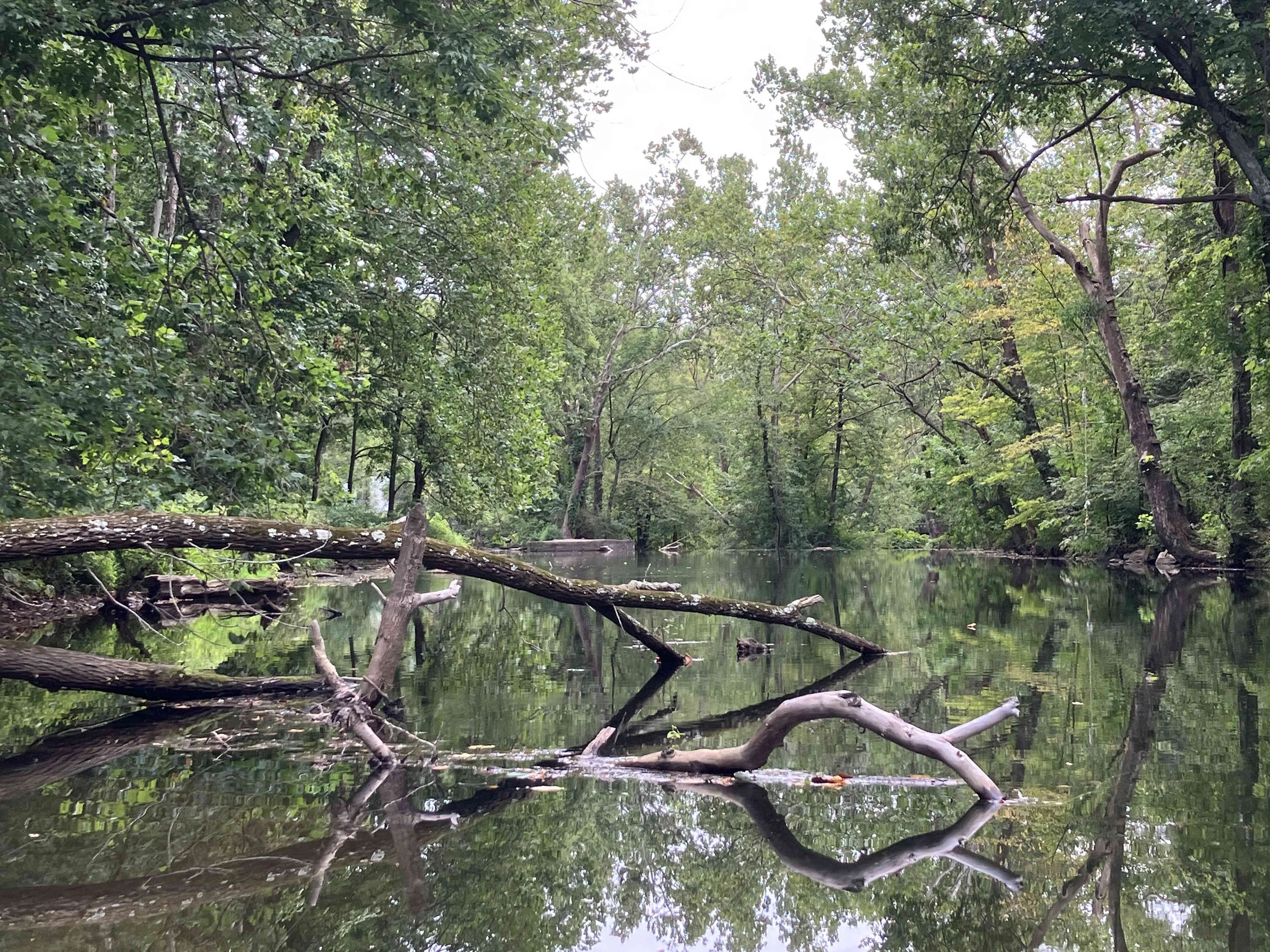
This seven-mile section of the Musconetcong River is quite wild. It is also hard to kayak. The upper part is often too shallow, plus there are numerous downed trees obstructing the river. The lower section is a large lake that is a bit boring. There is a dam in the Waterloo Village Historic Site. Portage on the right.
Musconetcong River #2: Saxton Falls Dam to Kings Highway
We did not do this section. The first part (from Saxton Falls to Hackettstown) is quite steep, so very fast flowing. It has many rocks and downed trees obstructing the river. The second part (from Hackettstown to Kings Highway) is through an urban area, so not very pretty.
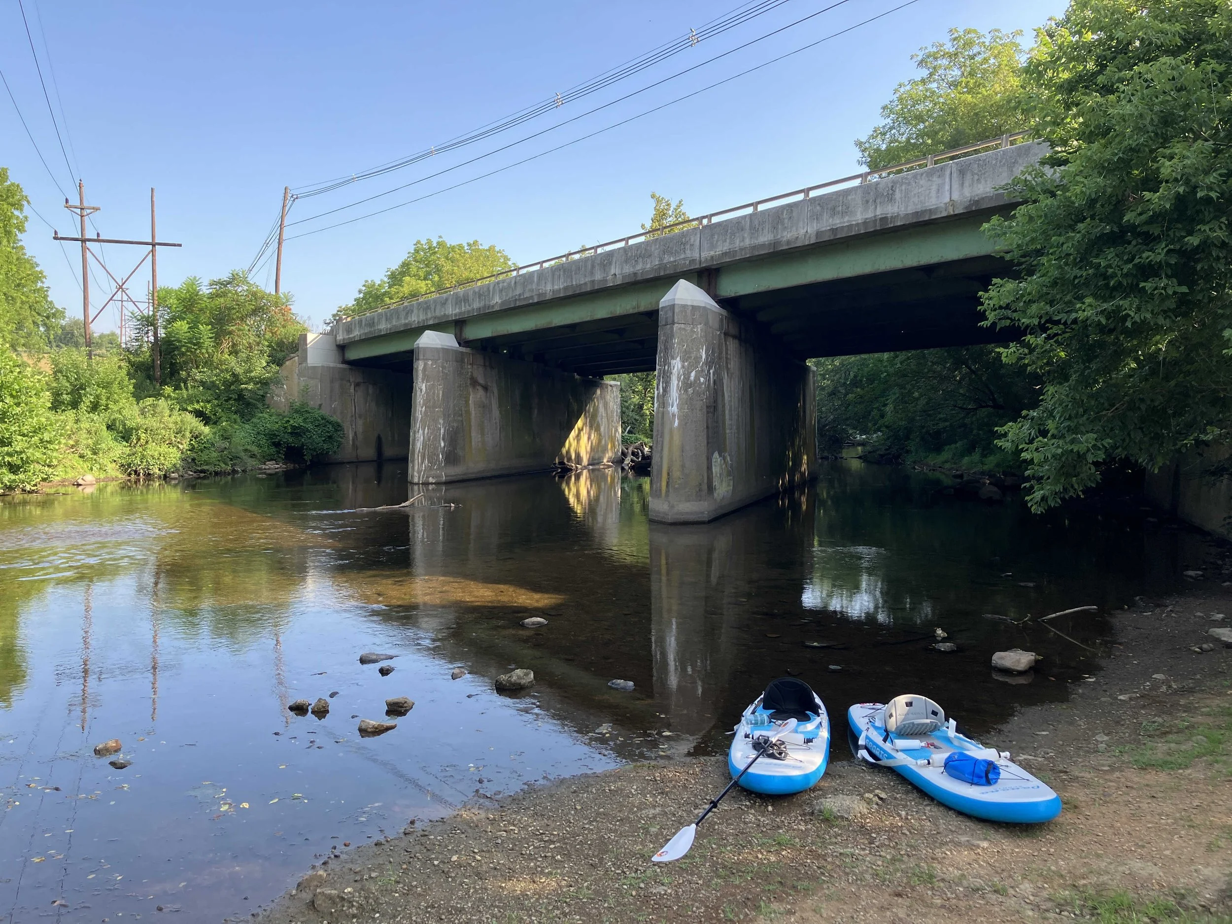
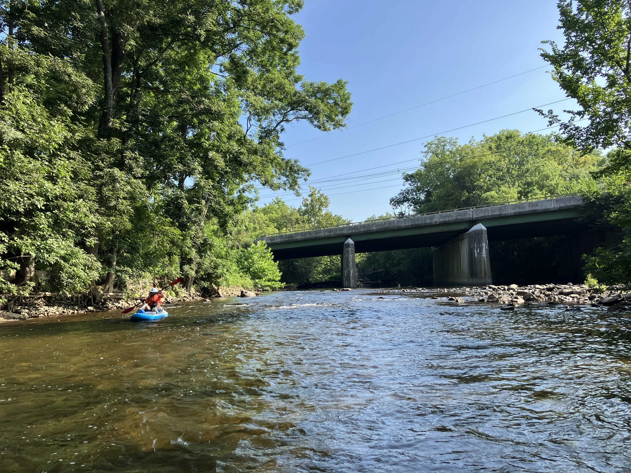
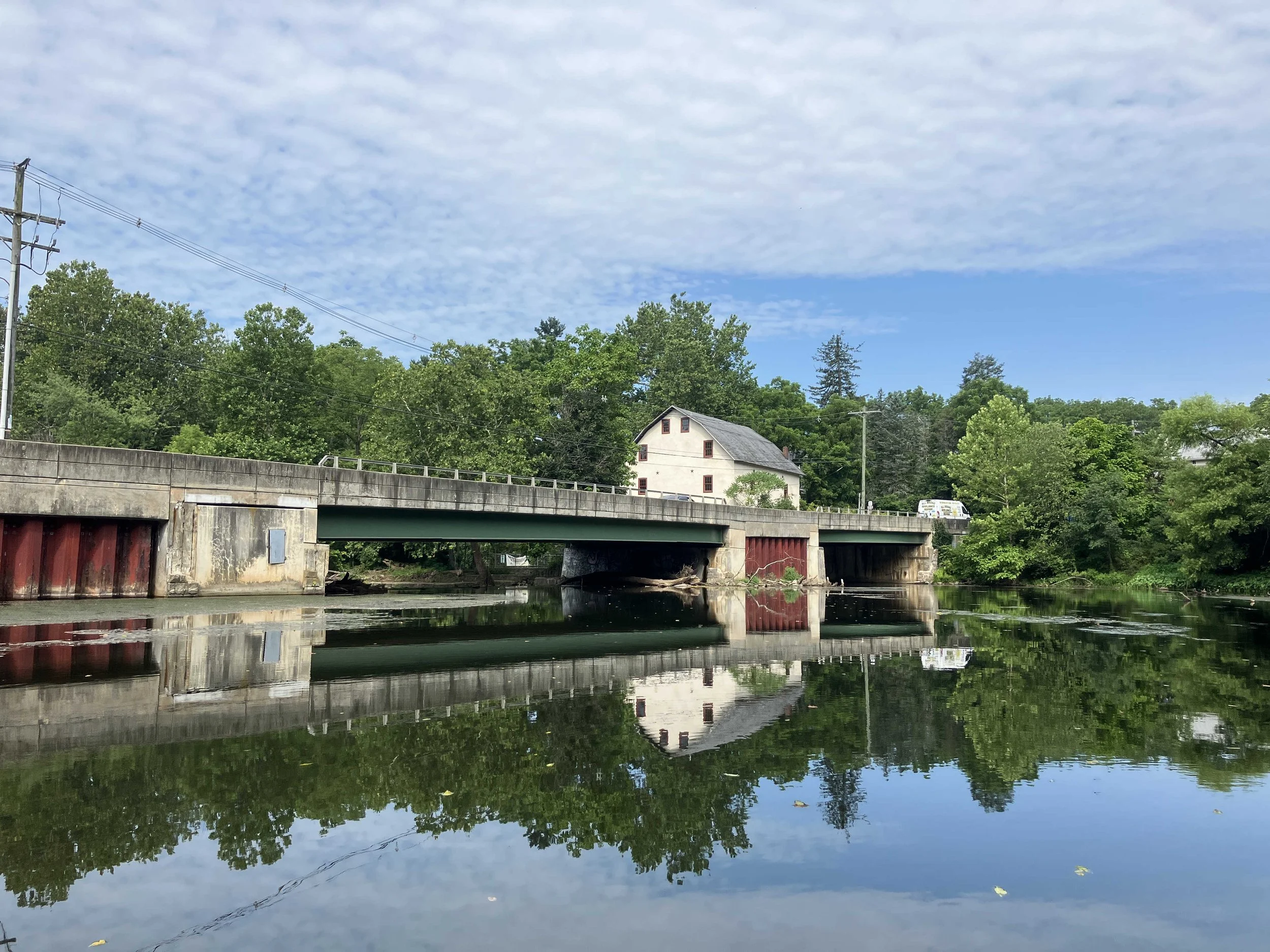
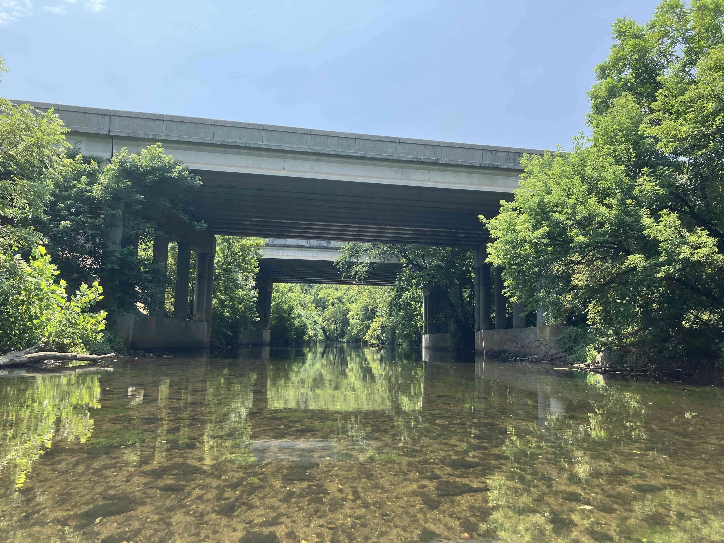
Musconetcong River #3: Kings Highway to Point Mountain Road
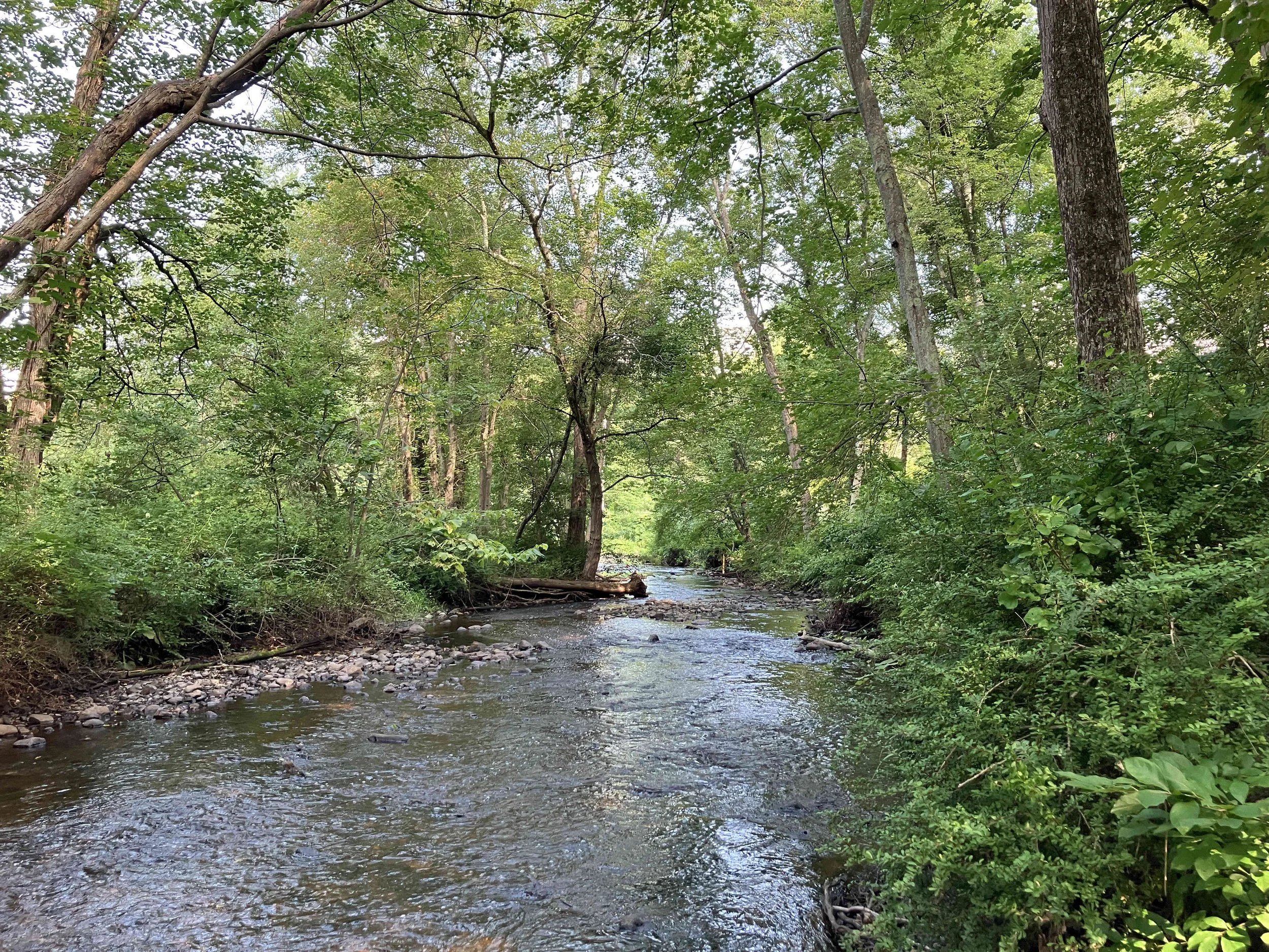
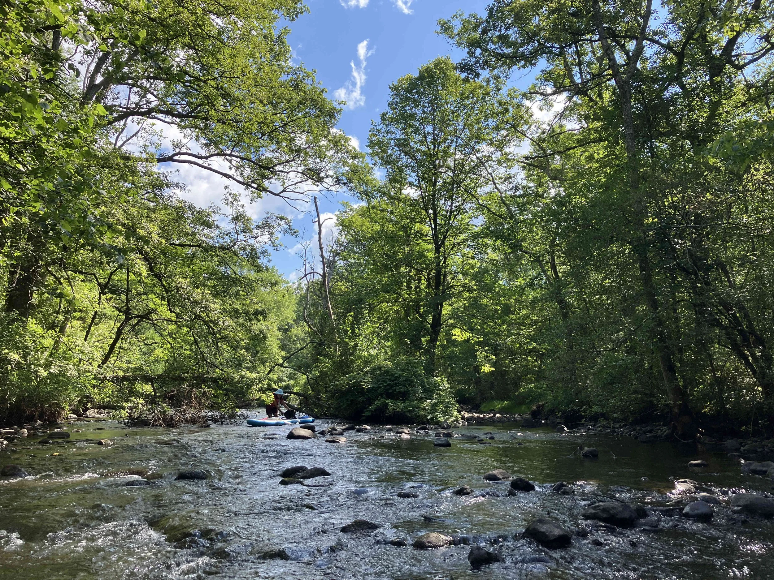
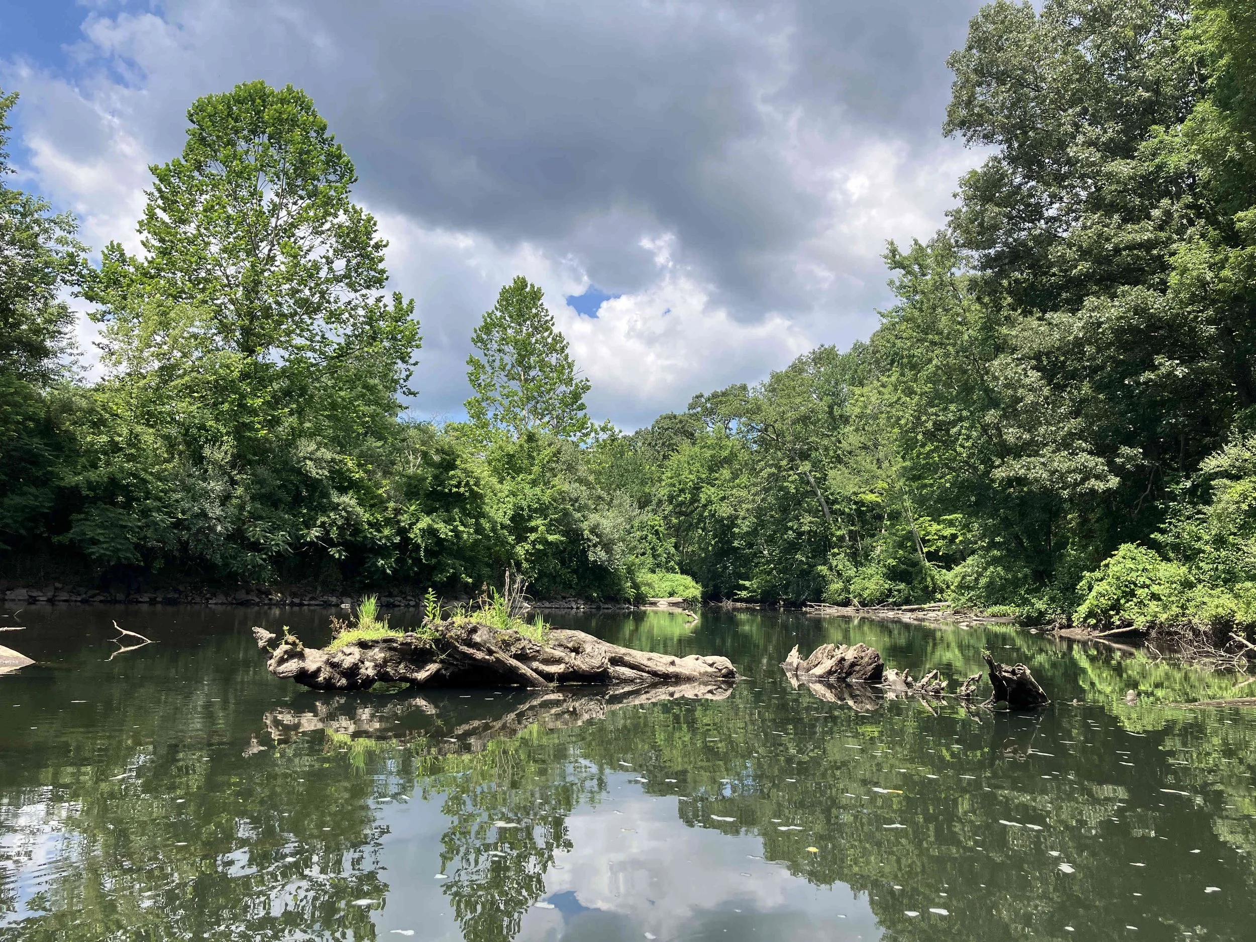
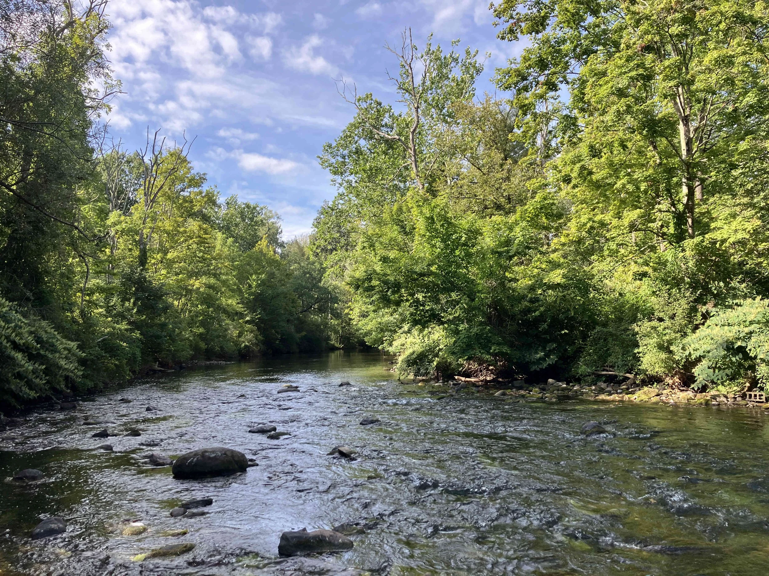
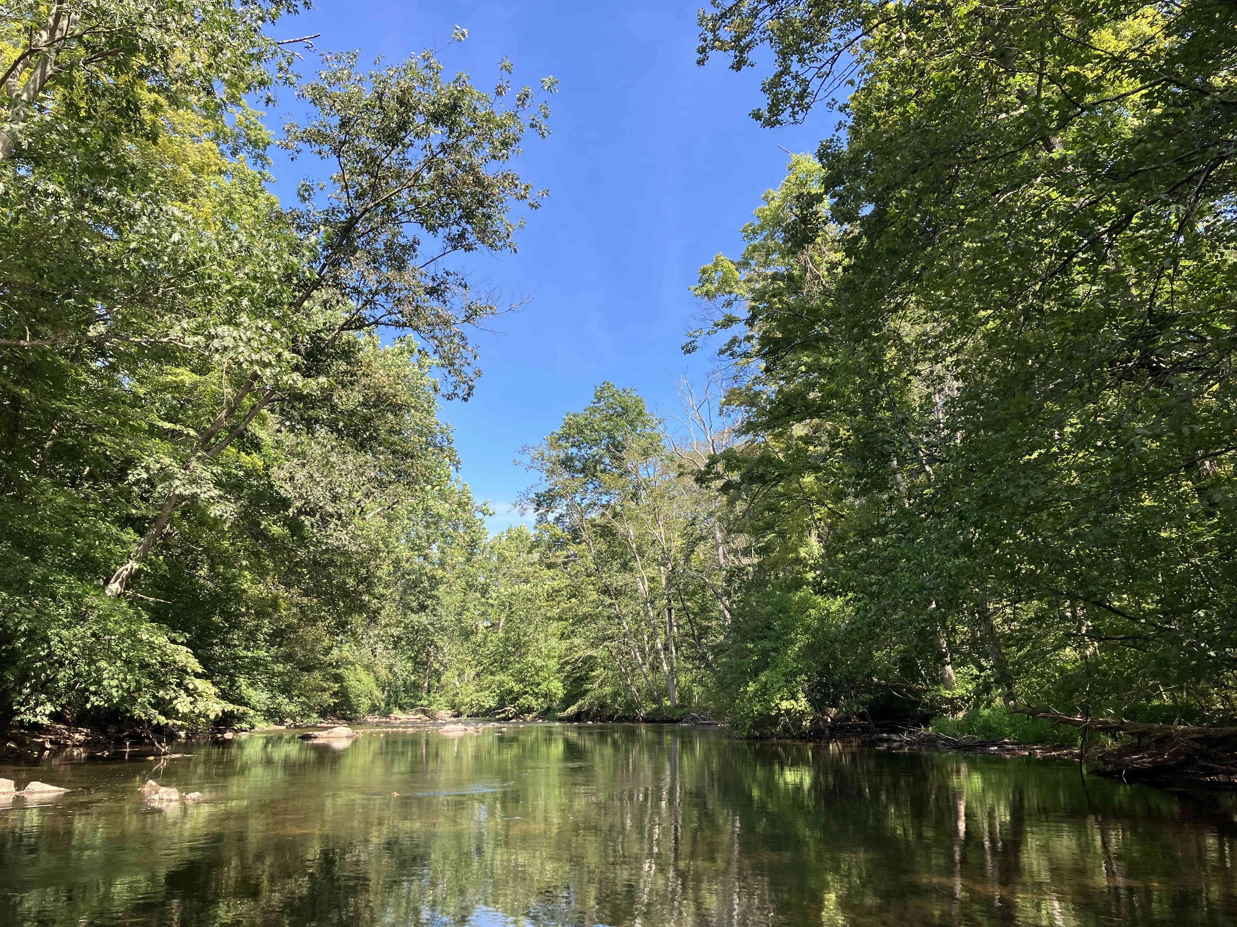
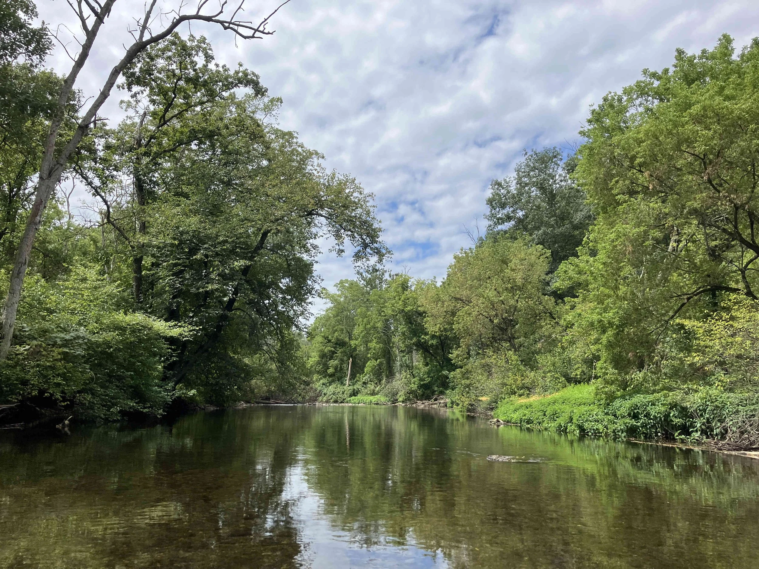
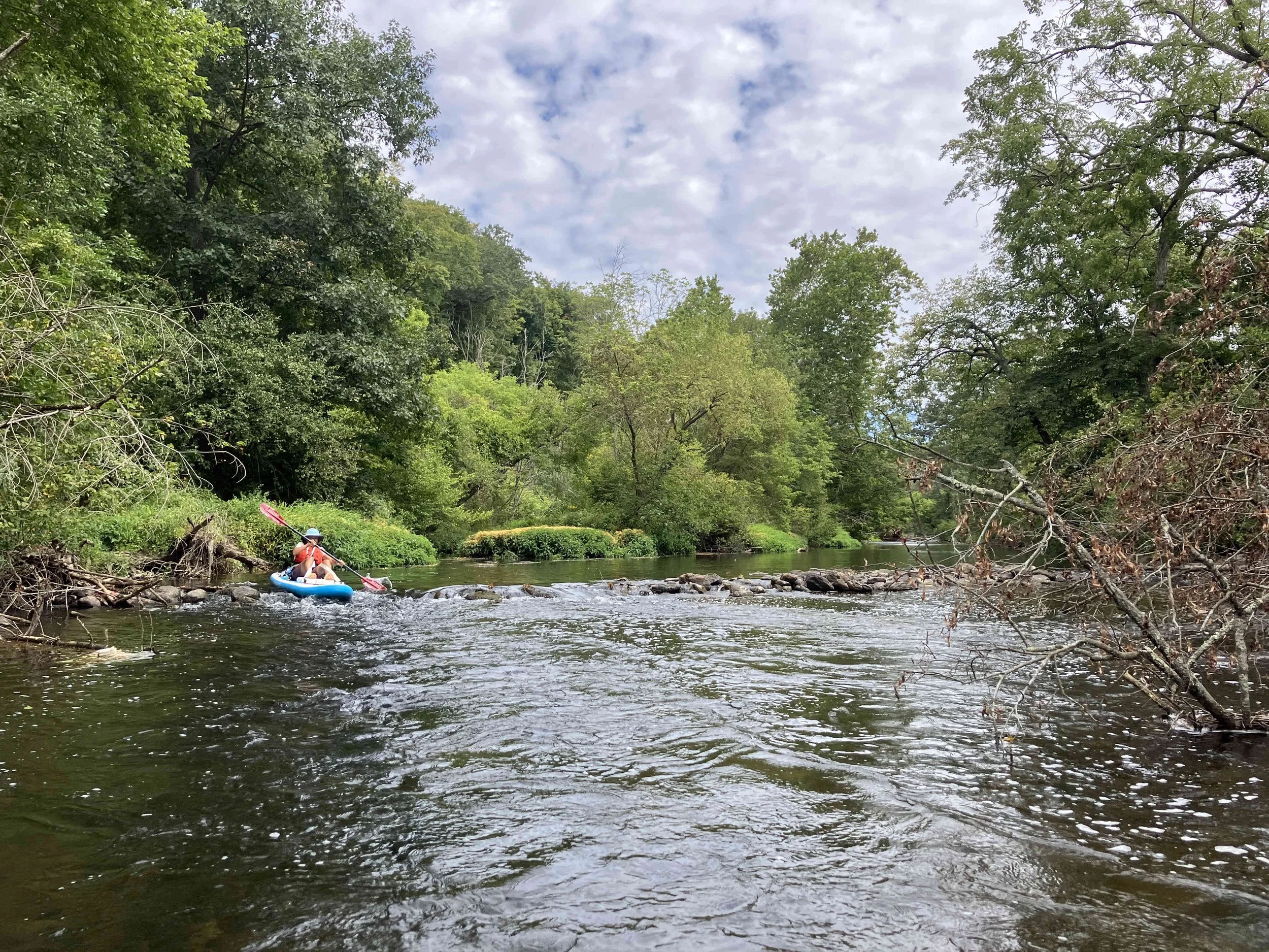
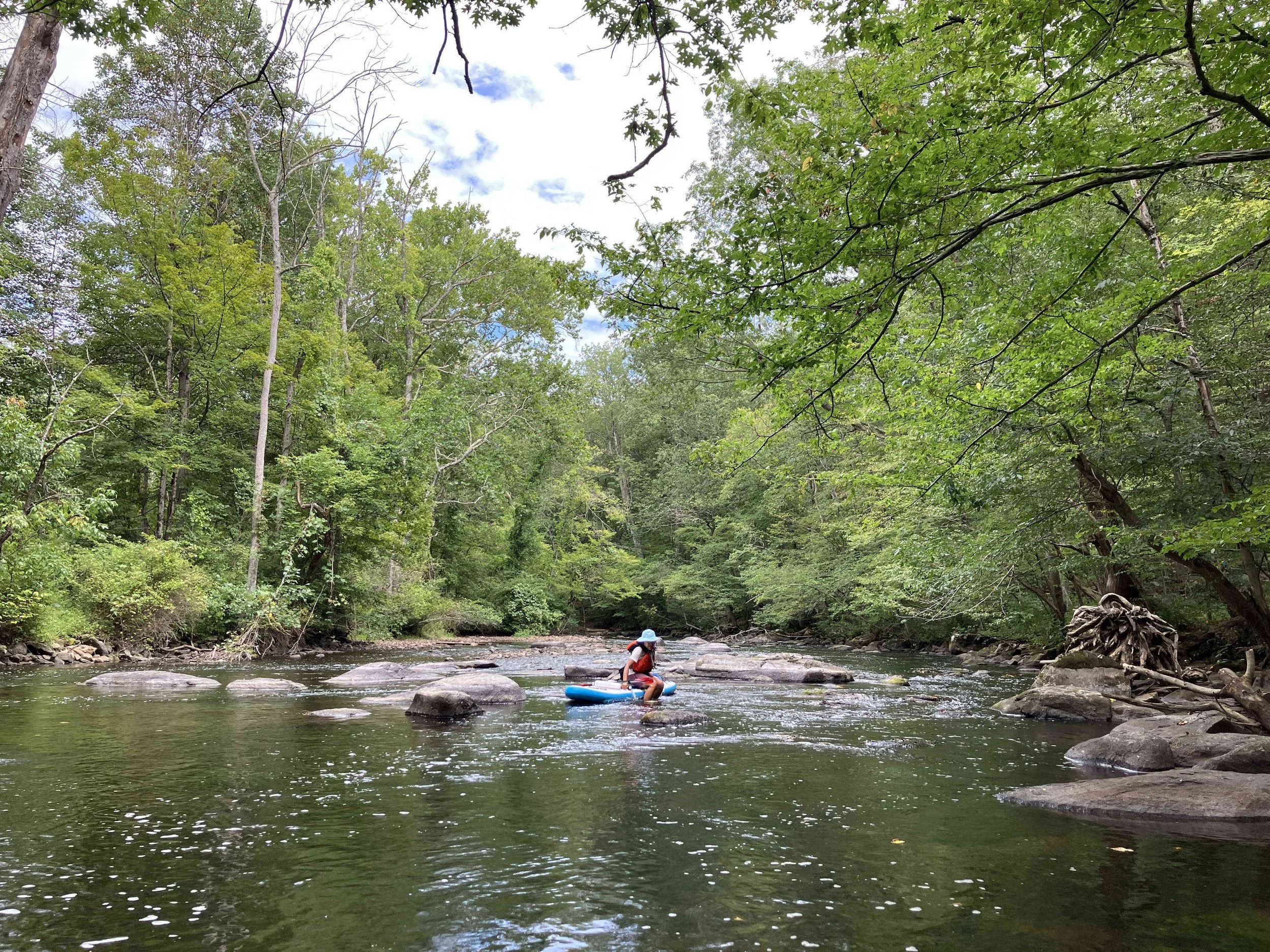
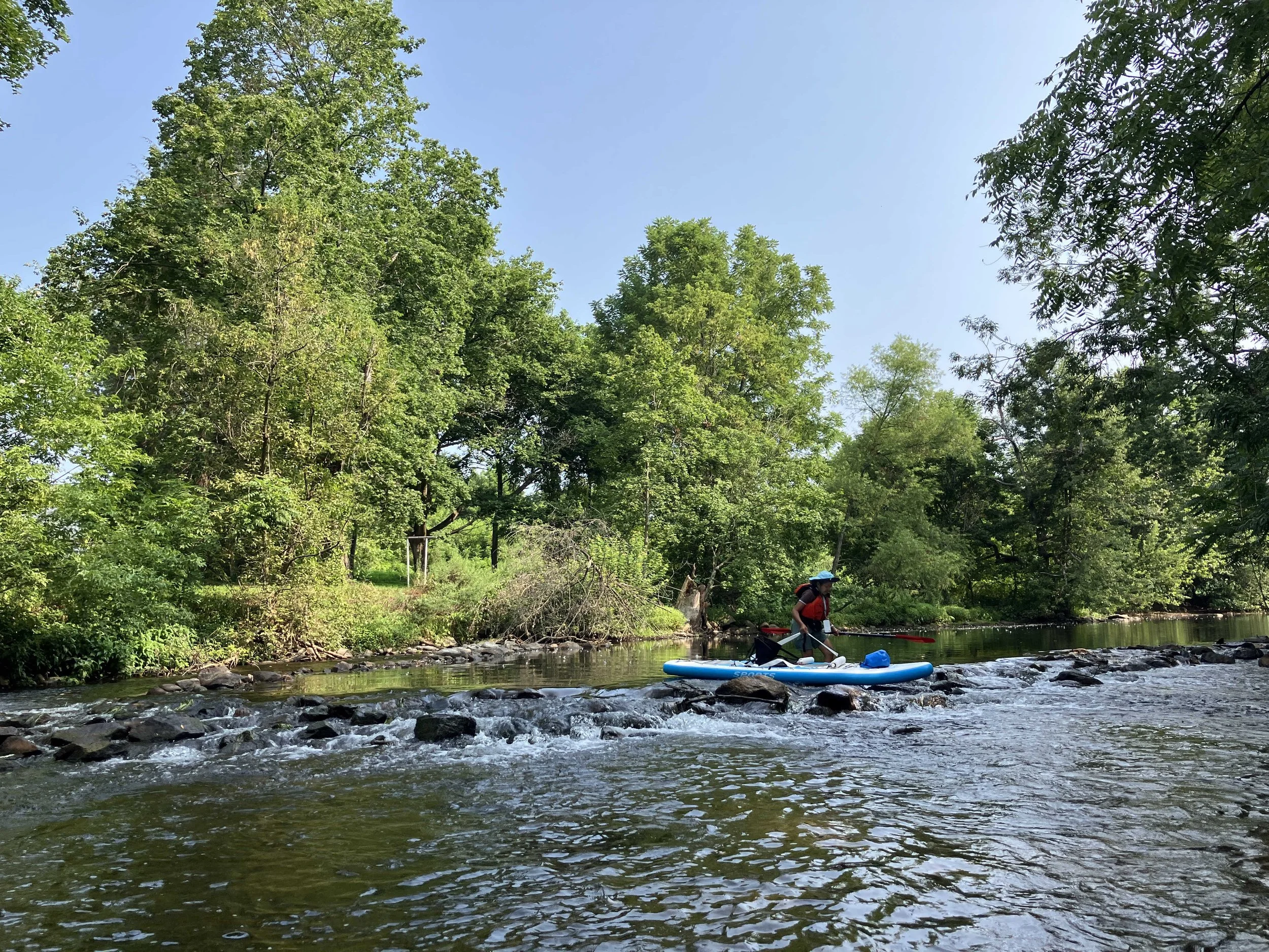
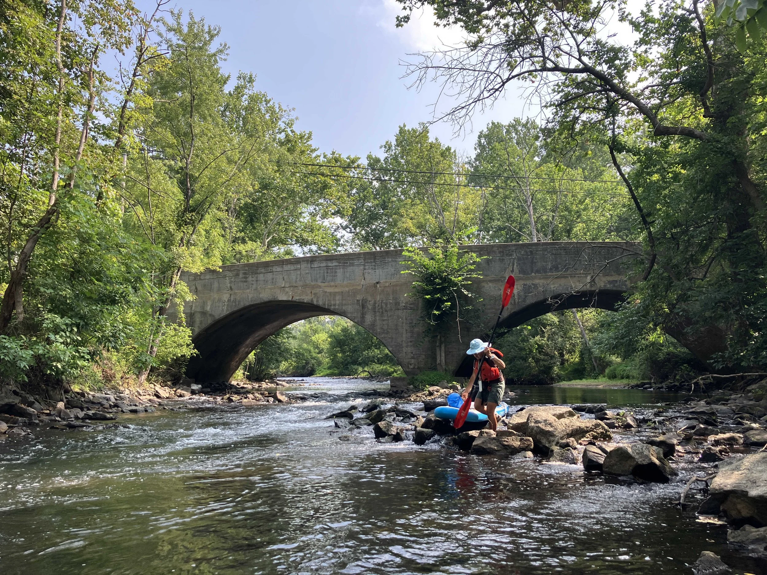
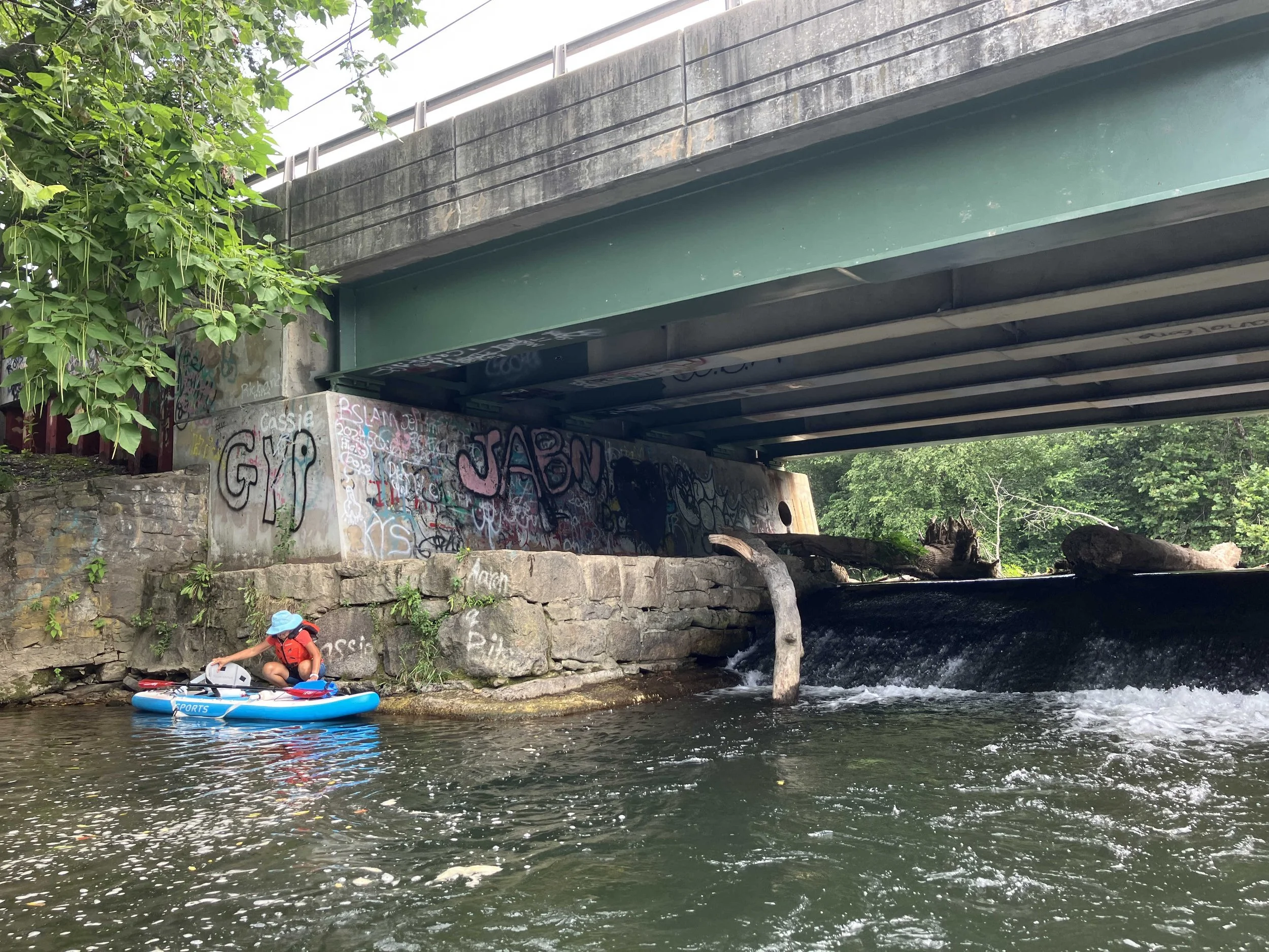
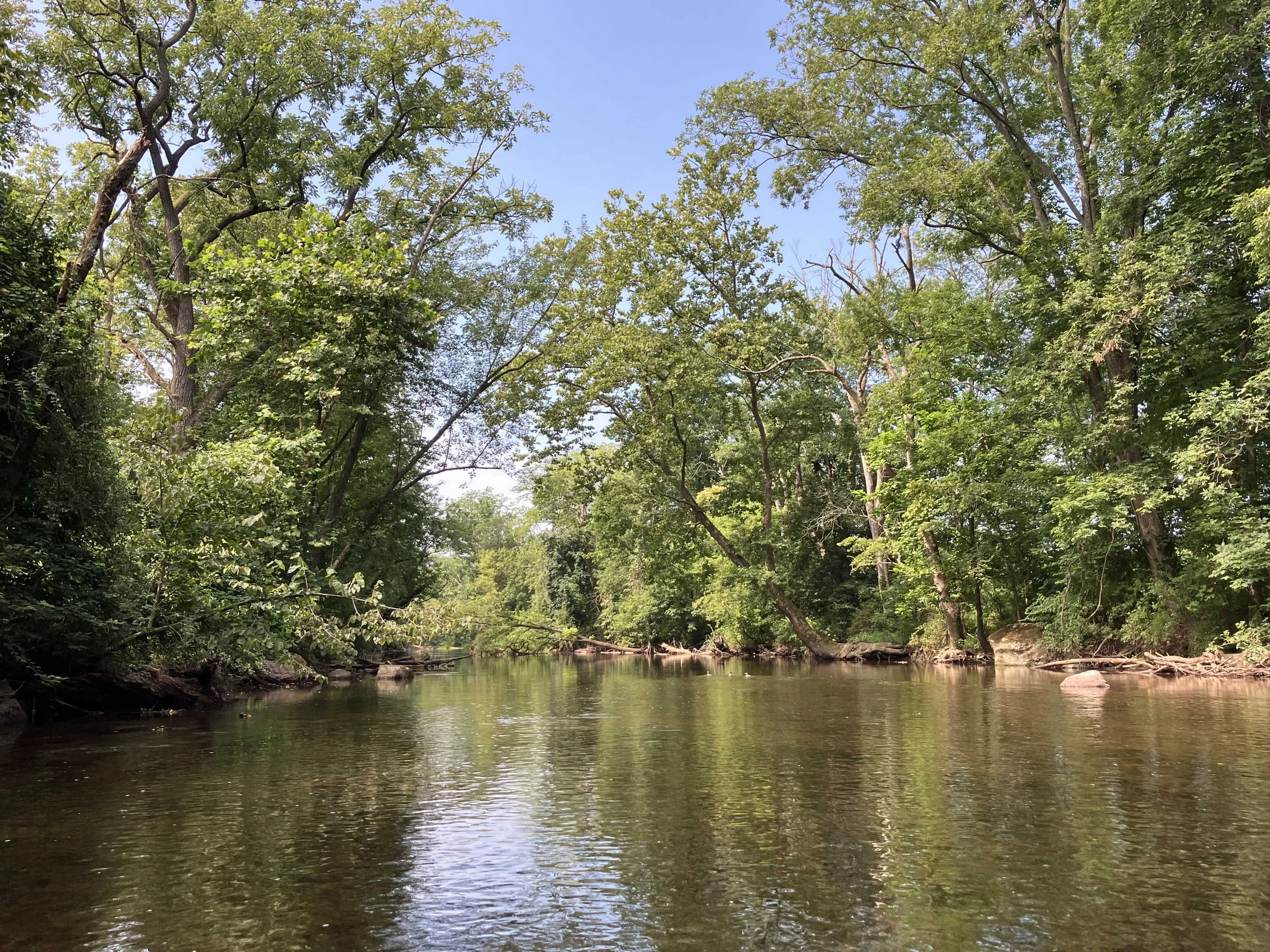
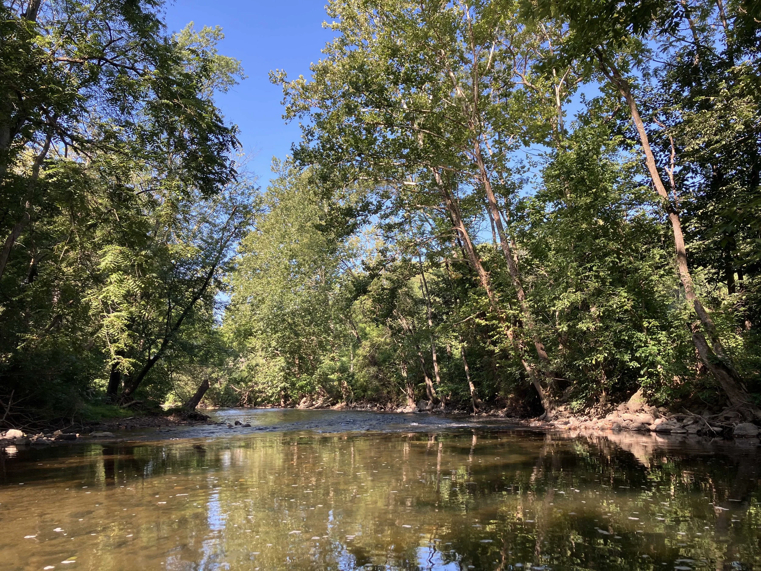
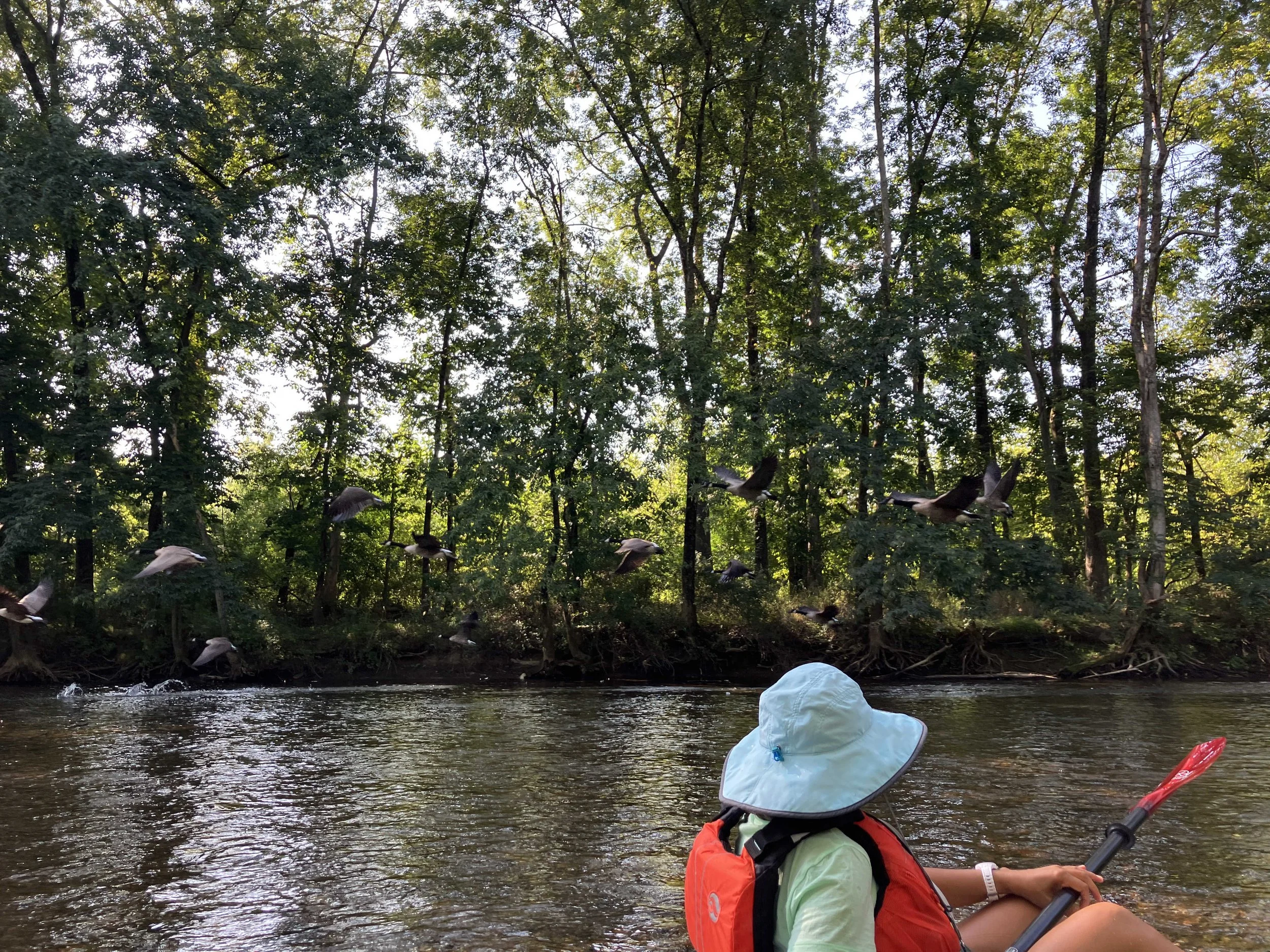
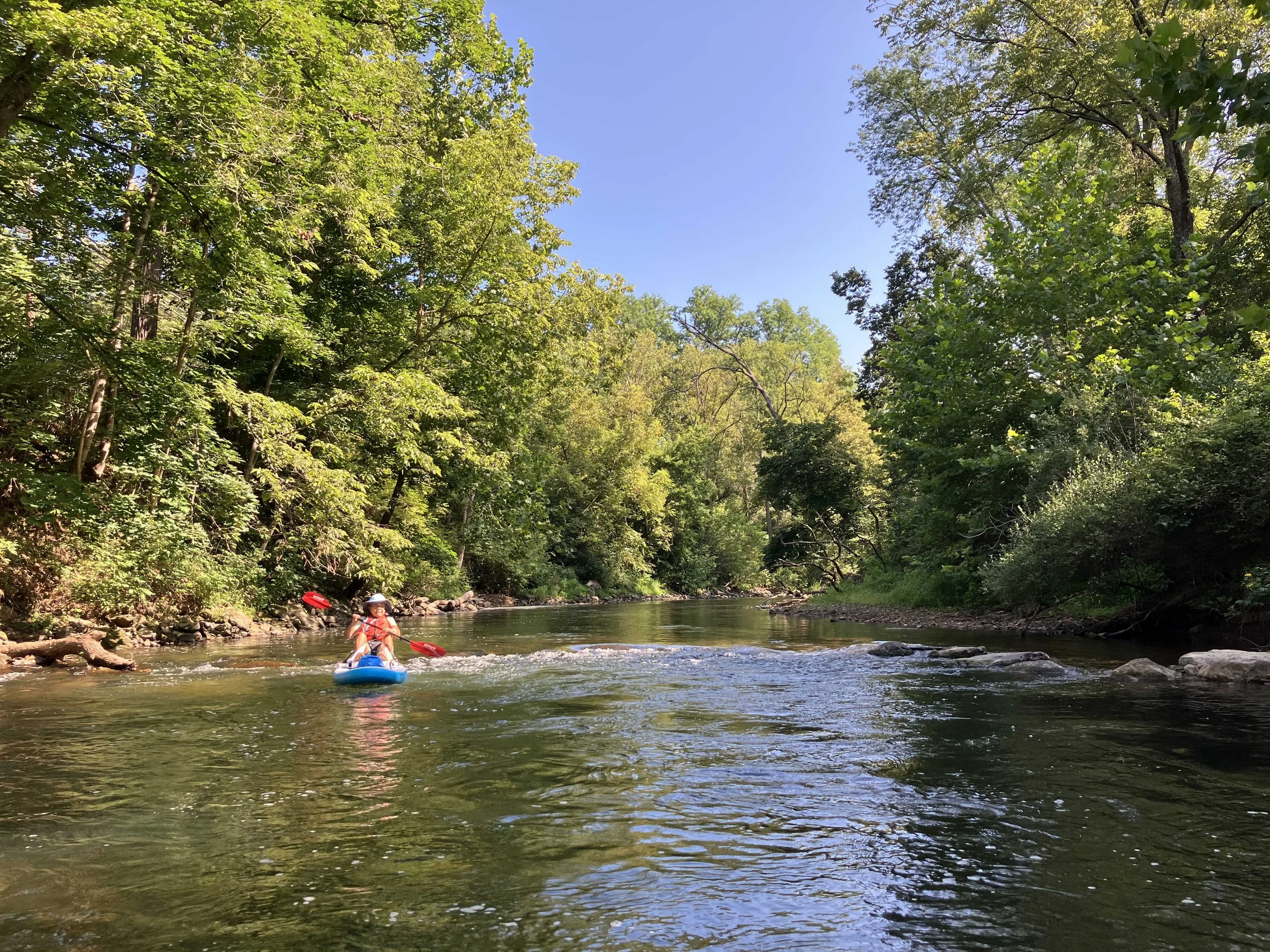
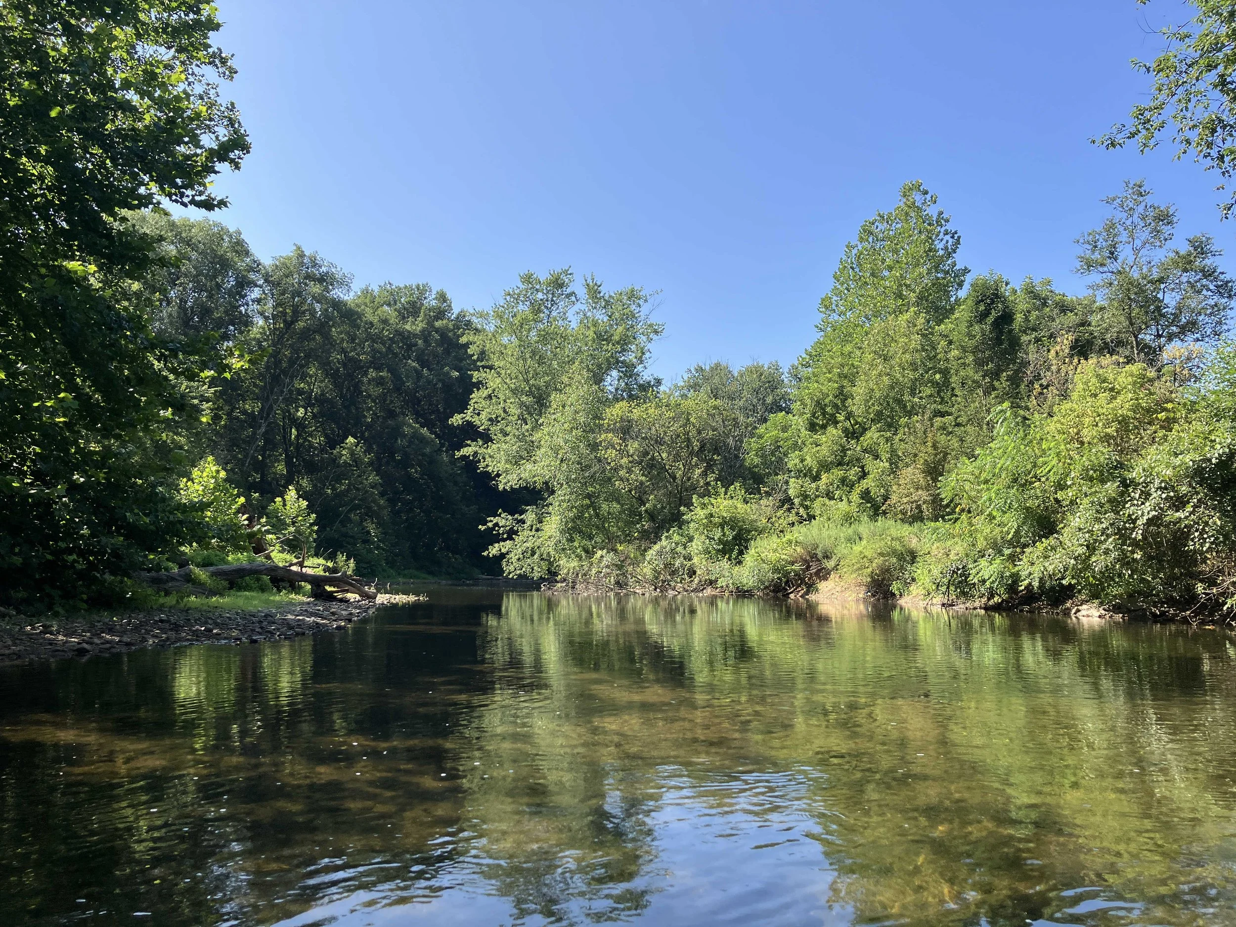
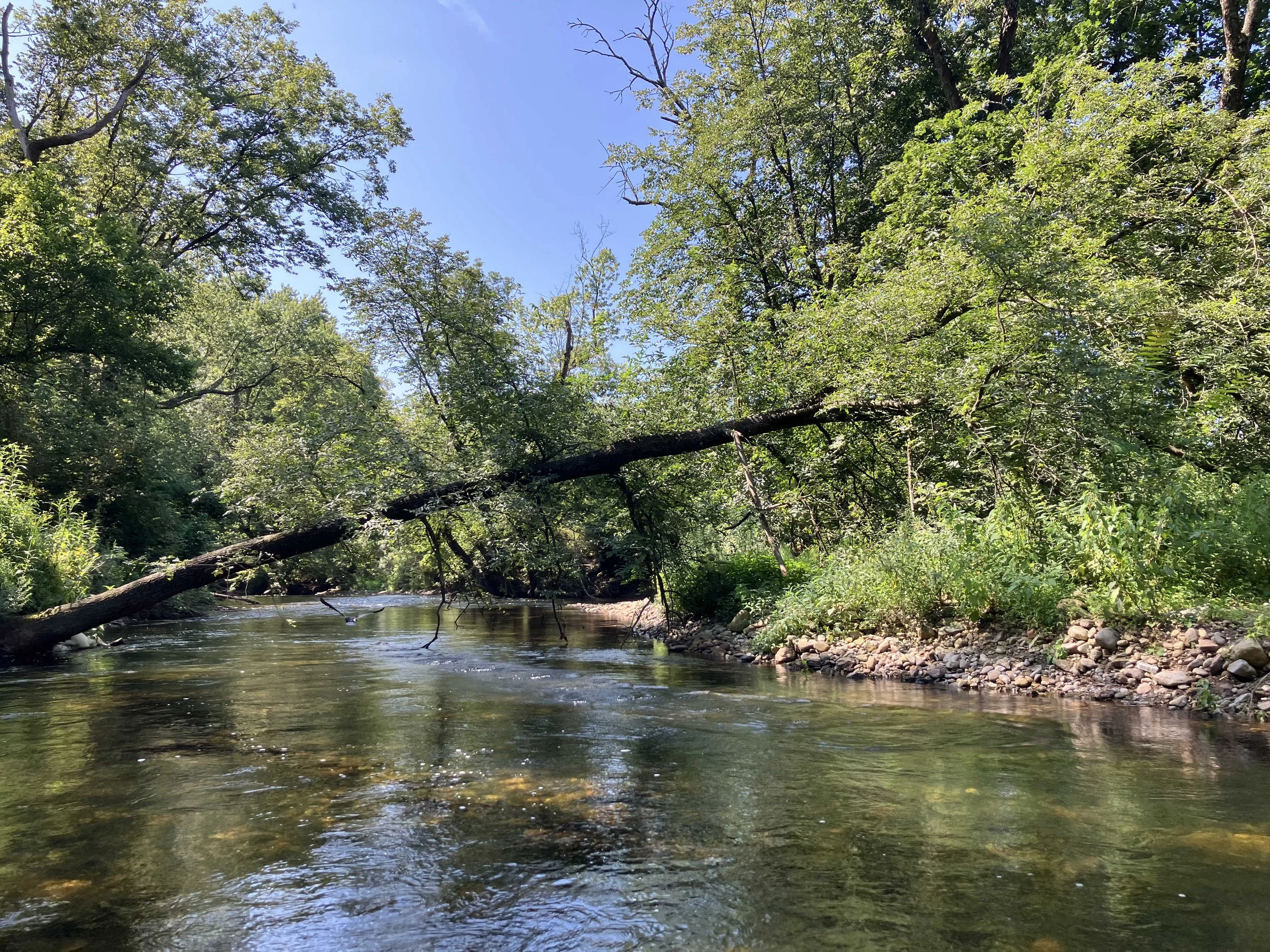
This six-mile section of the river is pretty. But much of it is beside a busy highway, so there is a lot of road noise. There were many rapids, plus numerous downed trees obstructing the river. The river was shallow in many places, so we did a lot of walking.
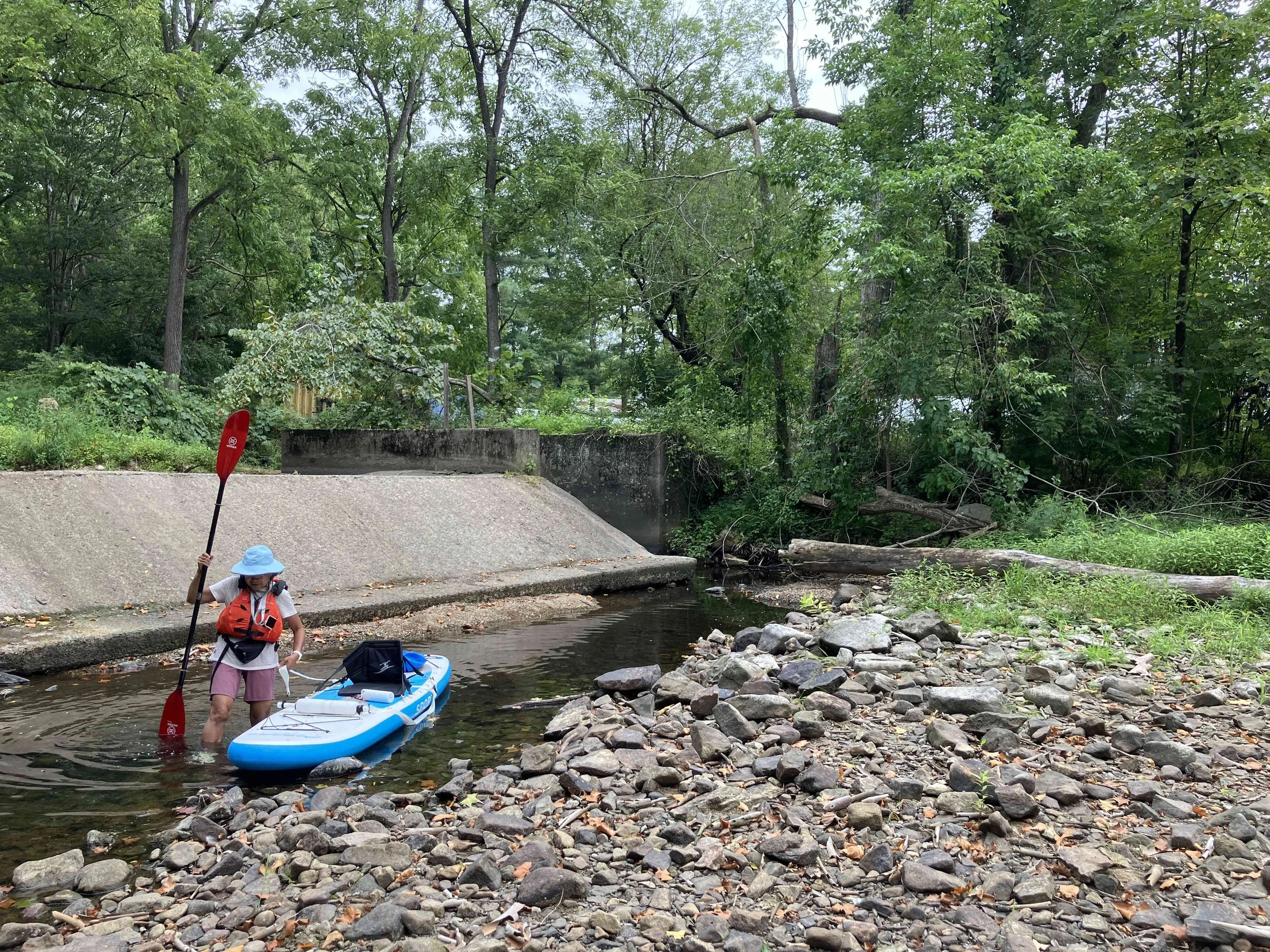
There is a dam at Penwell. One can run the dam on the left hand side, but the drop is quite steep and the river flows fast. We portaged down the face of the dam. Below the dam, the river runs through a gorge. There are many shallow sections, plus some whitewater.
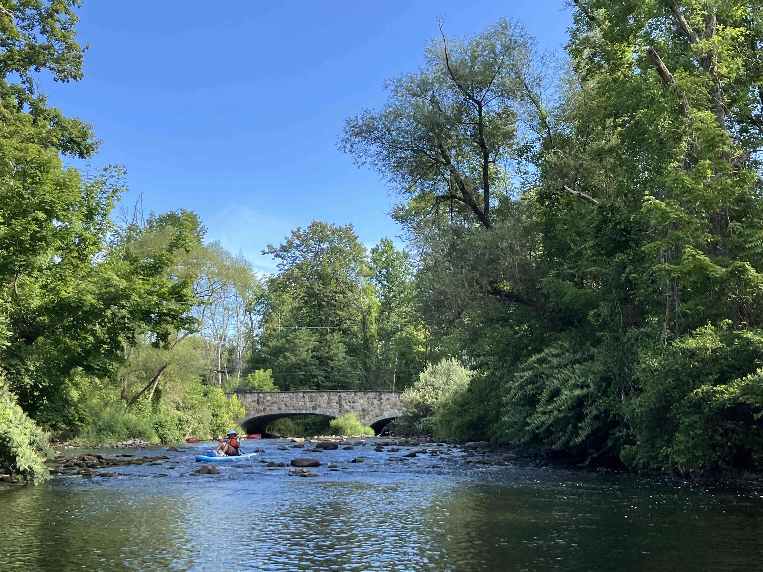
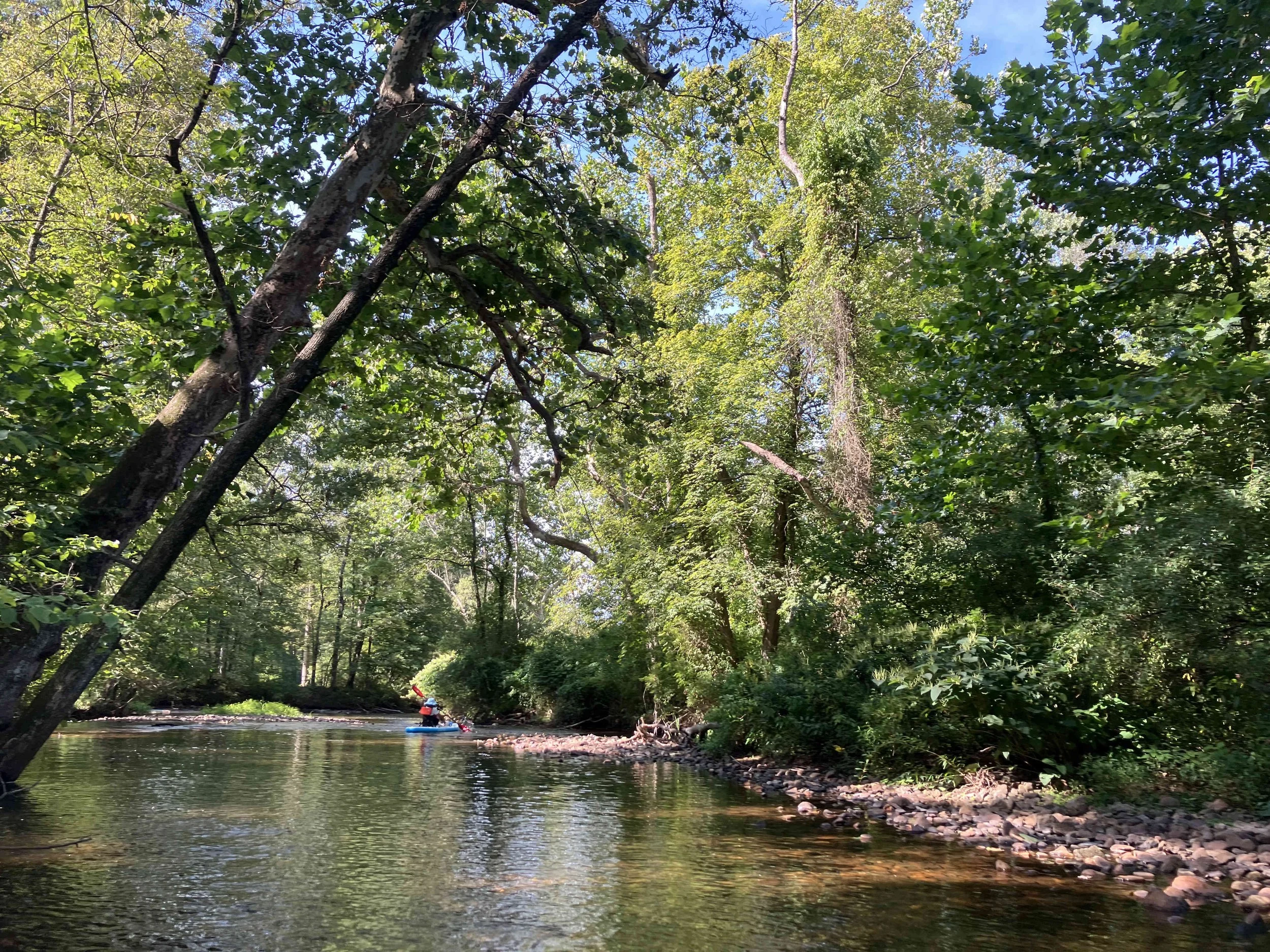
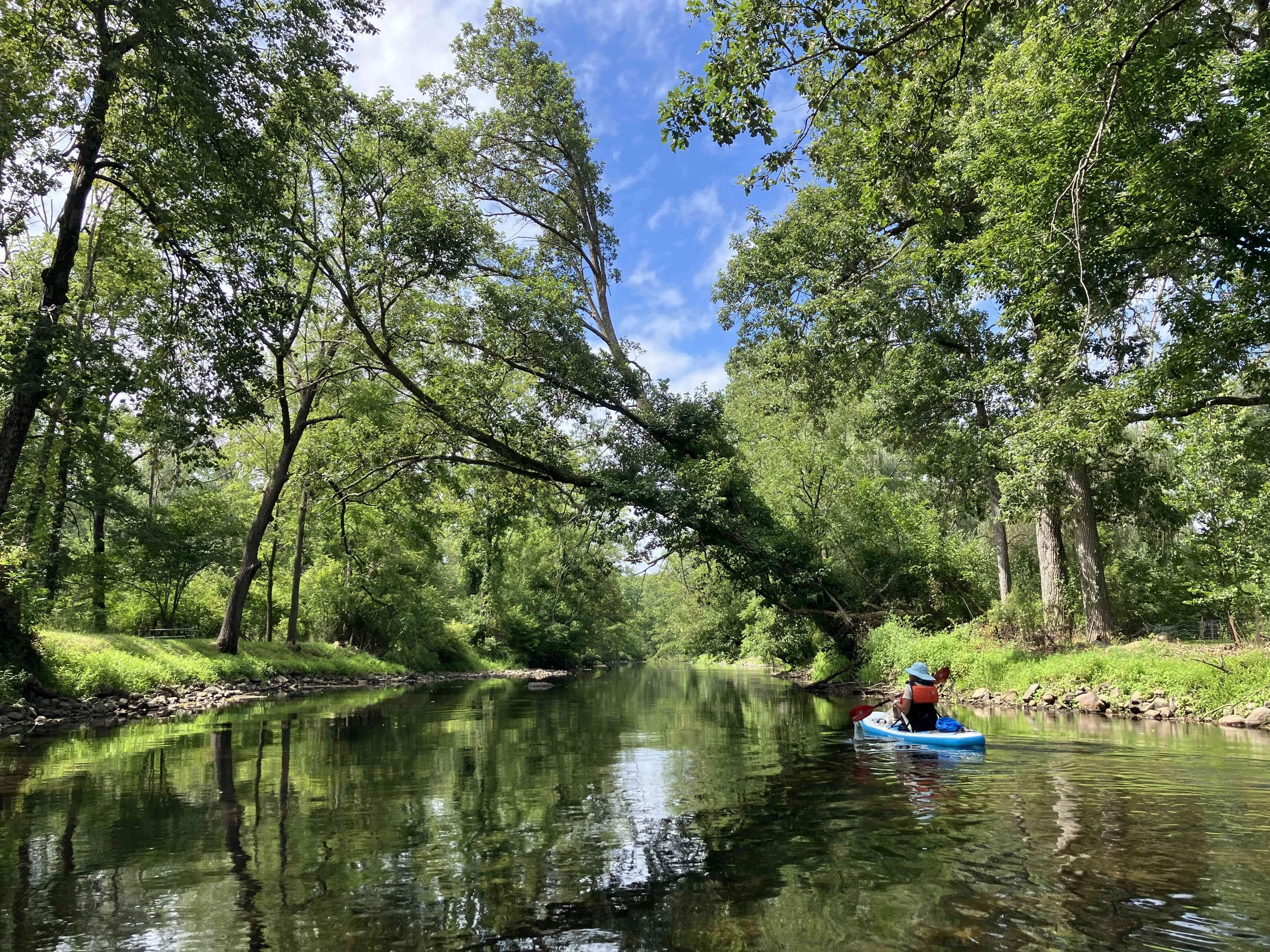
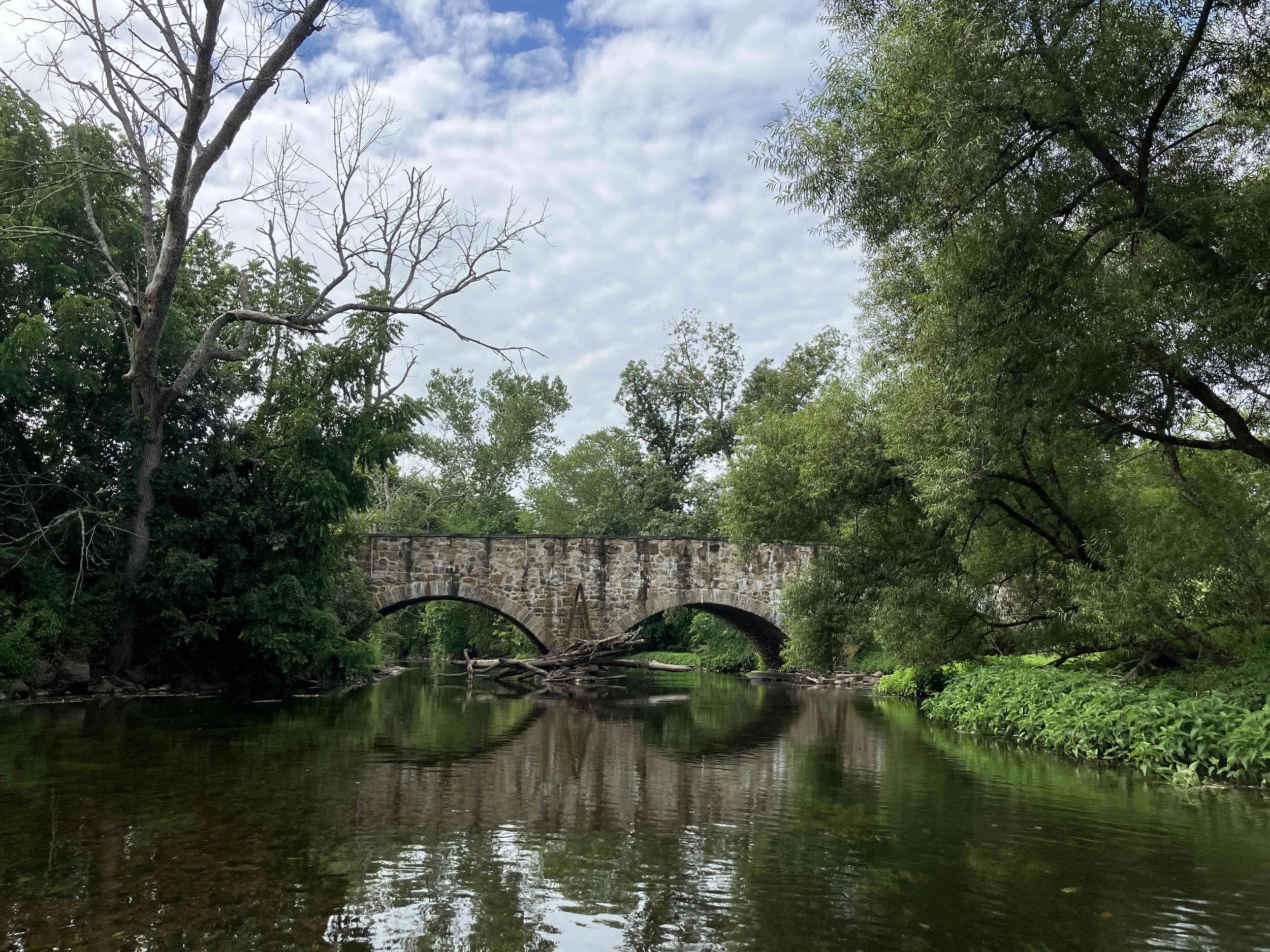
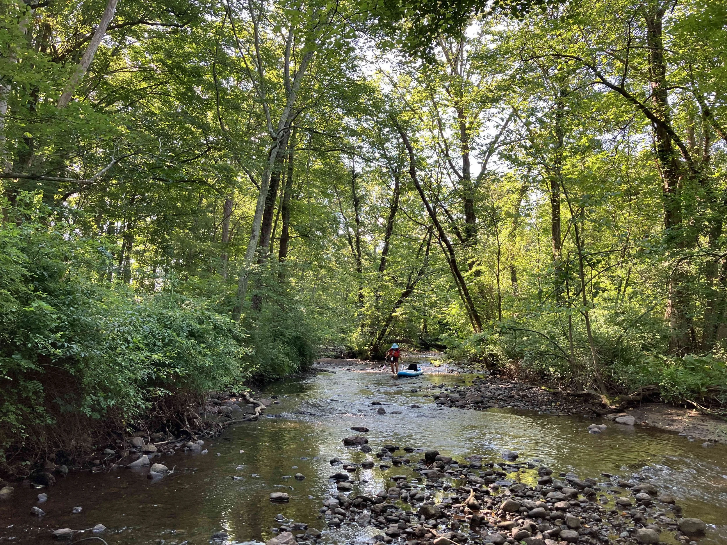
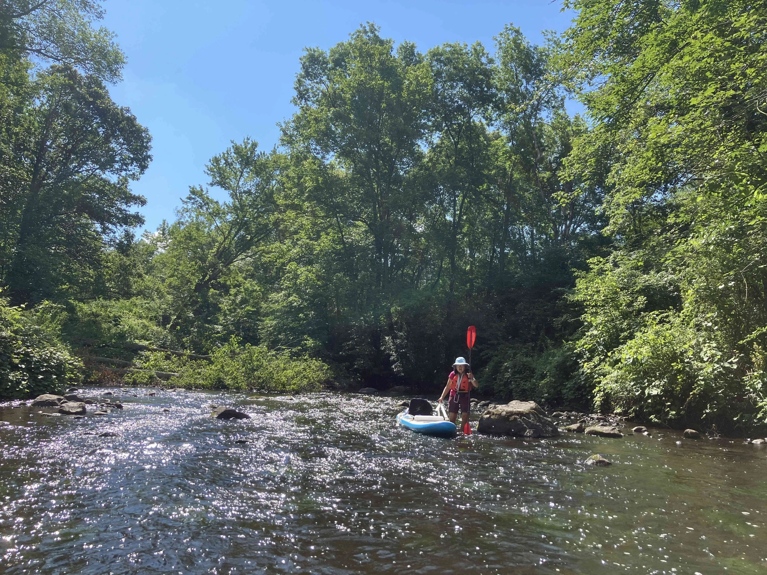
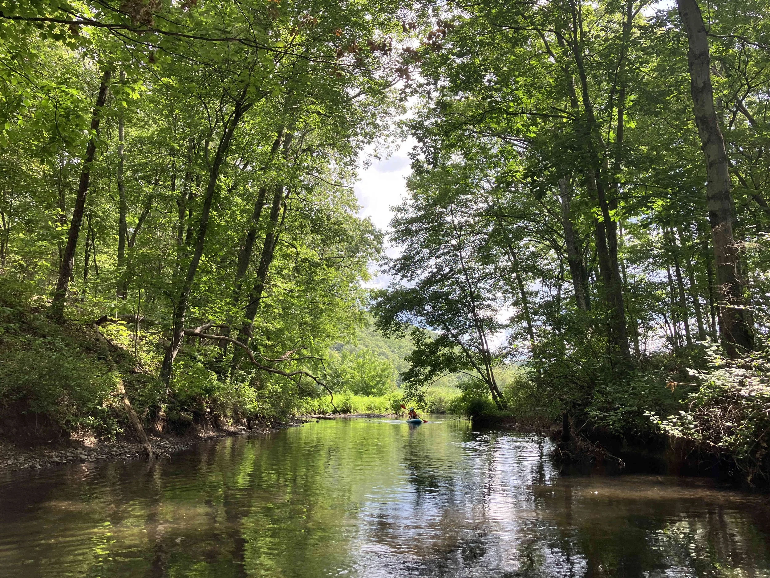
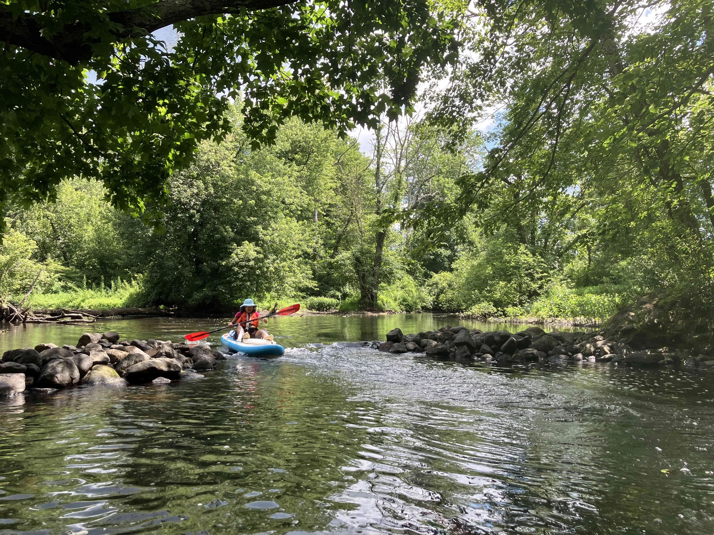
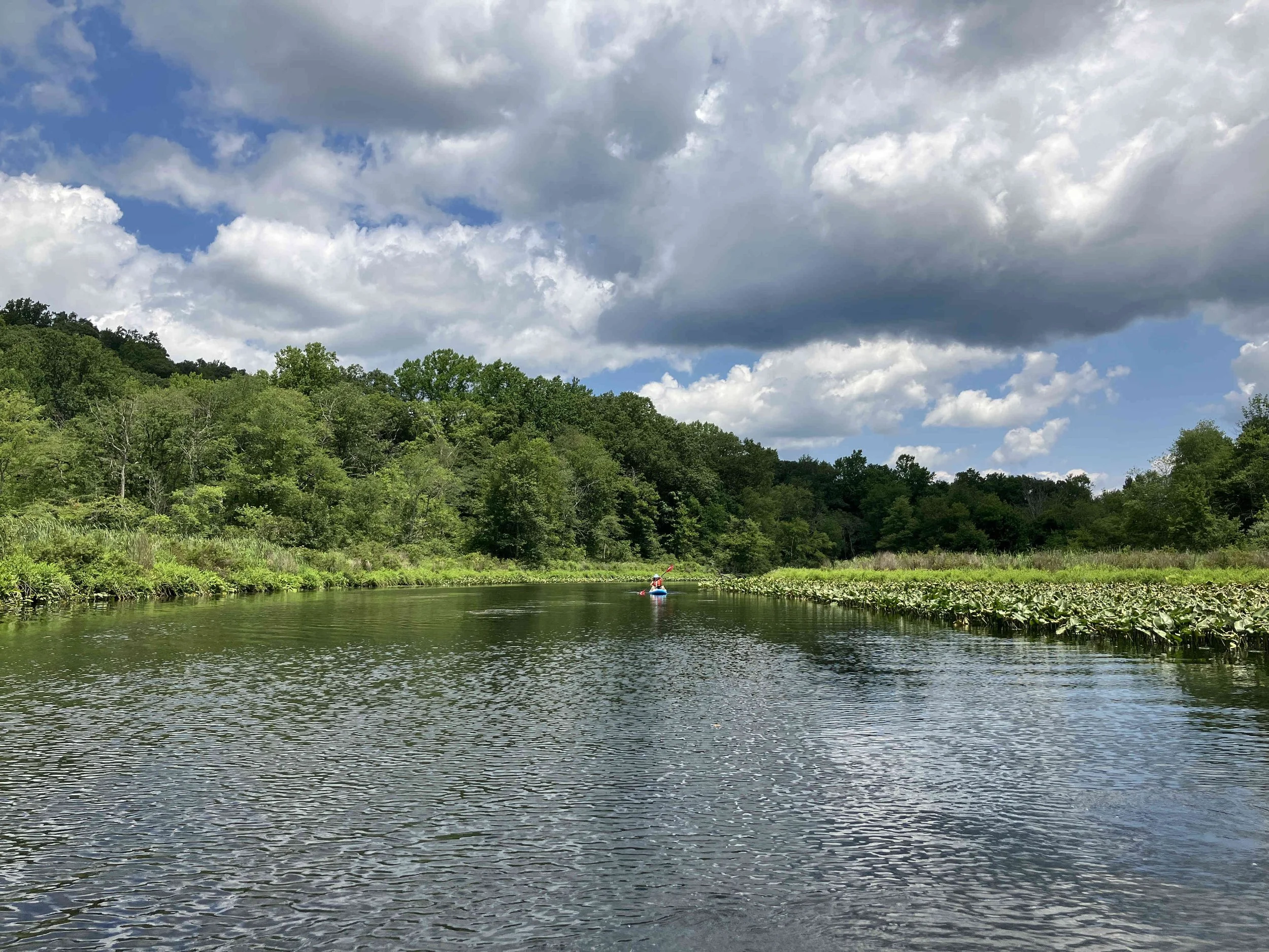
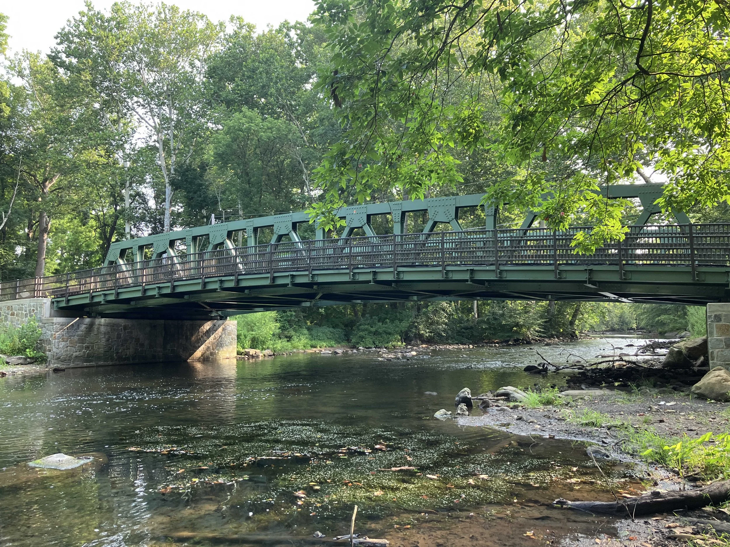
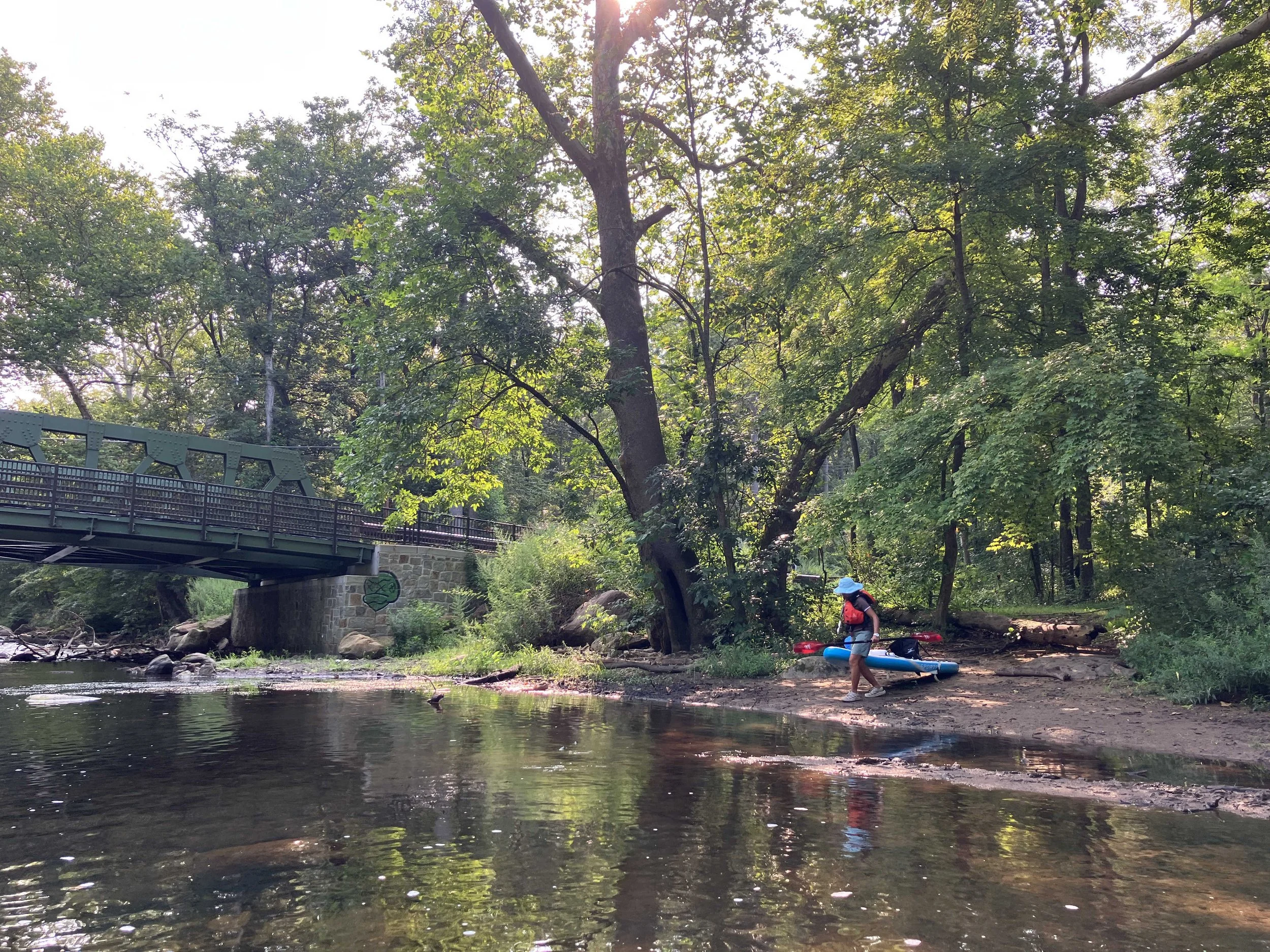
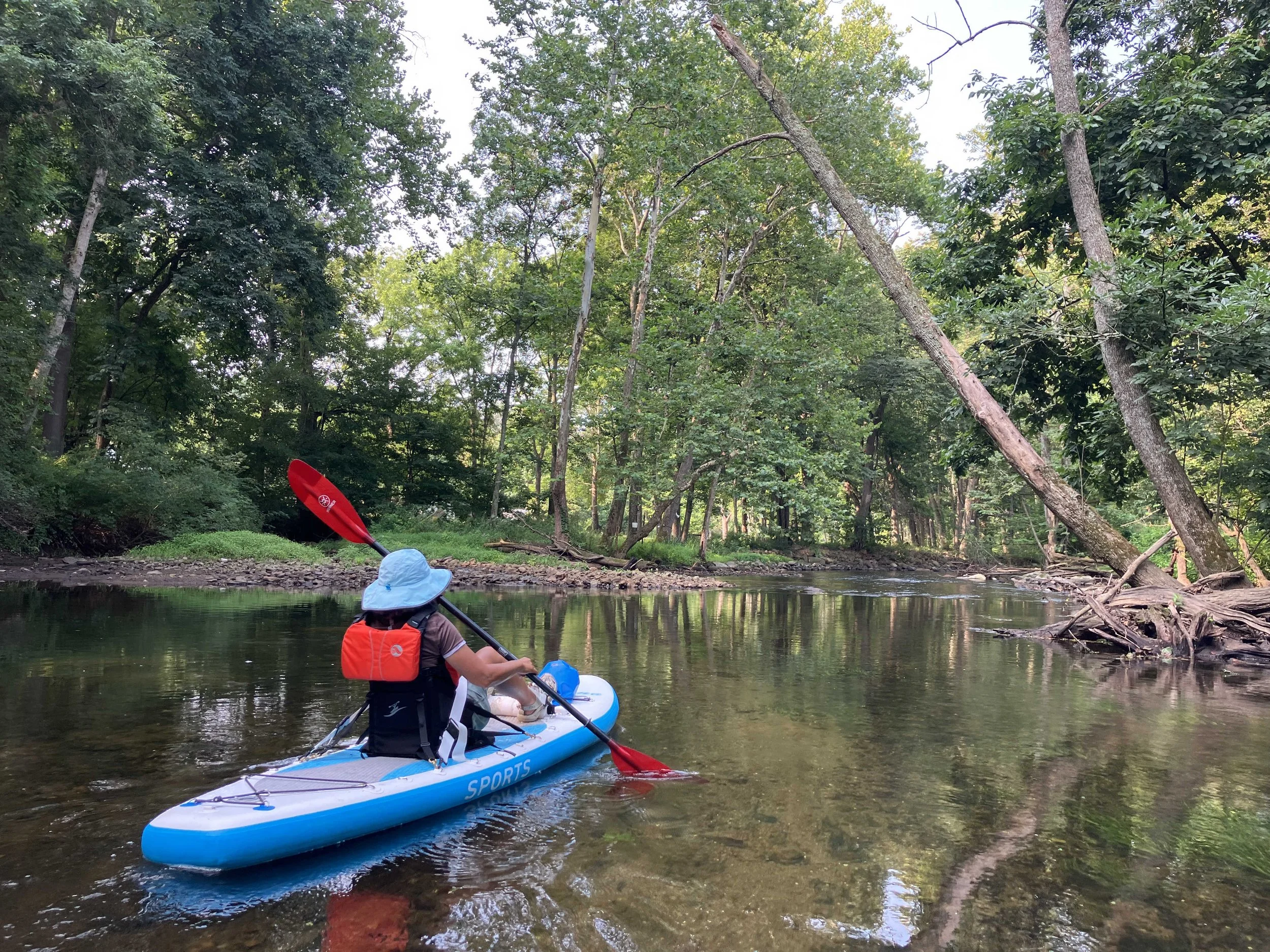
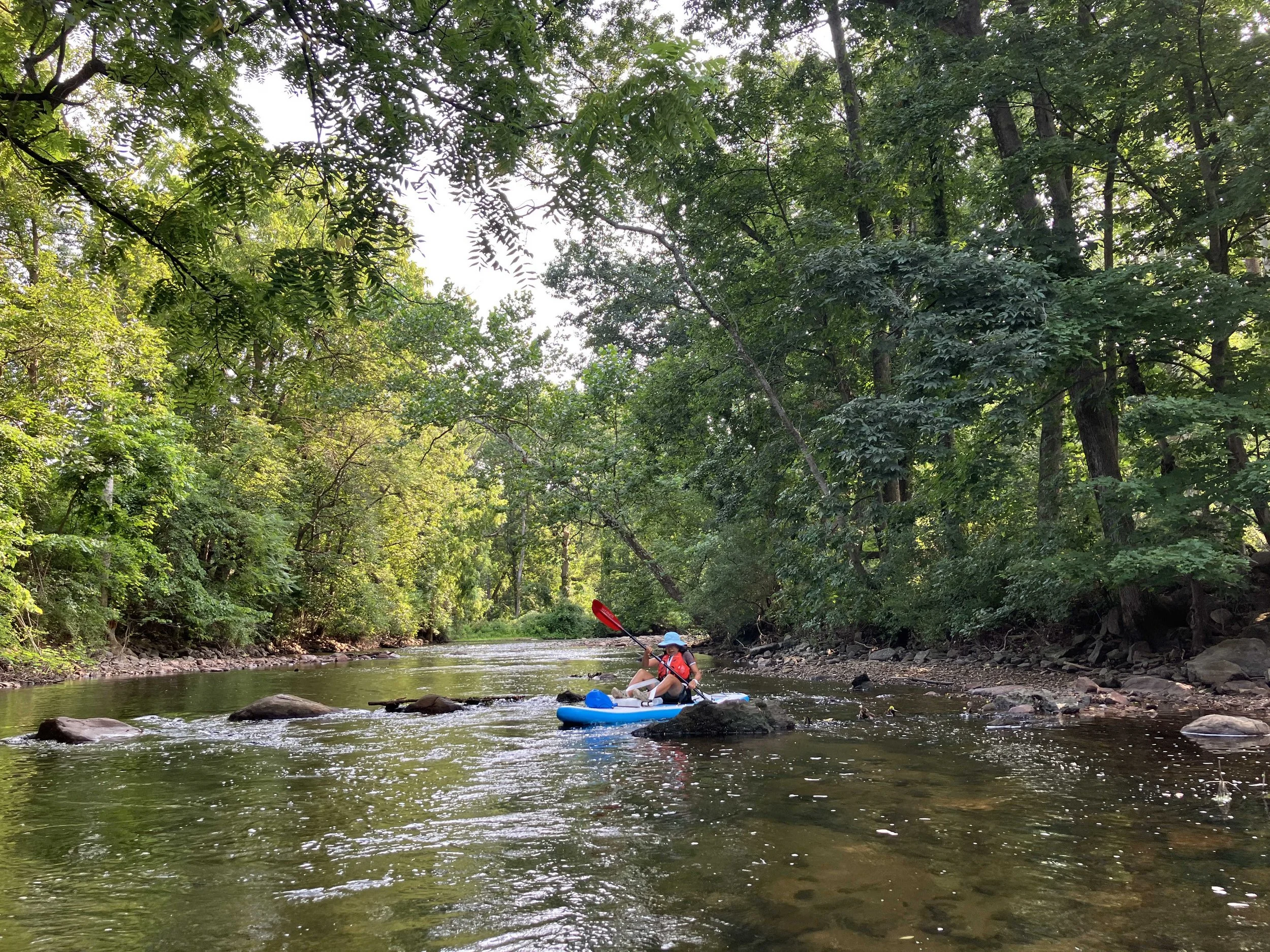
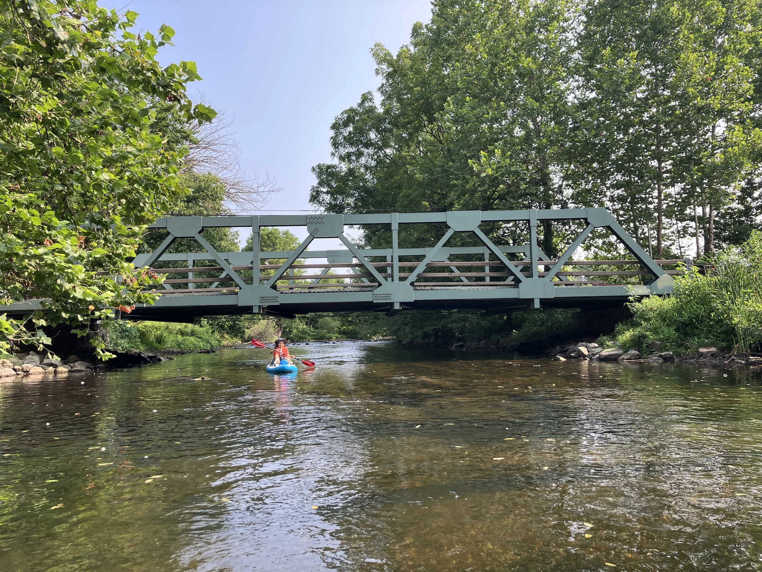
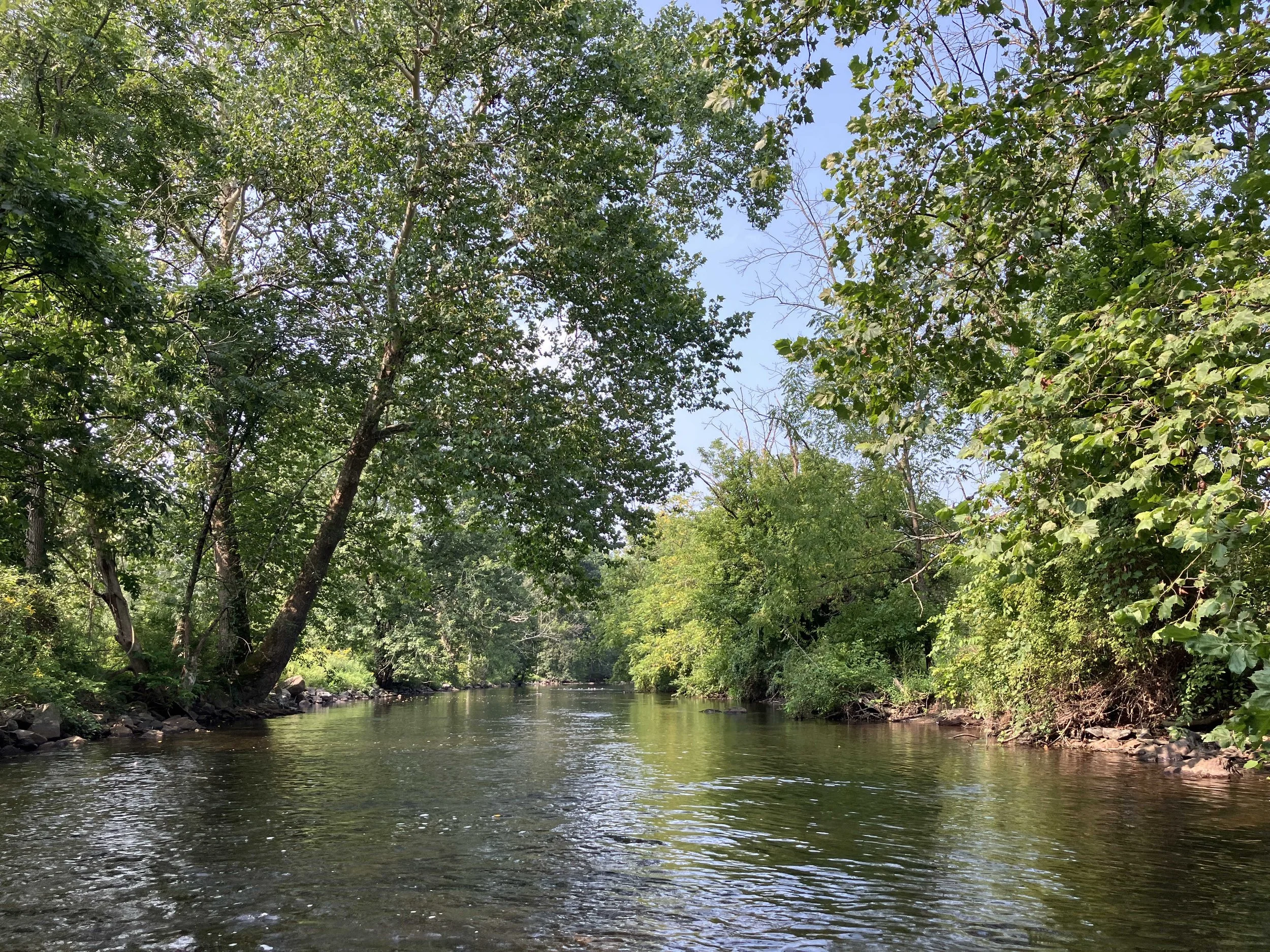
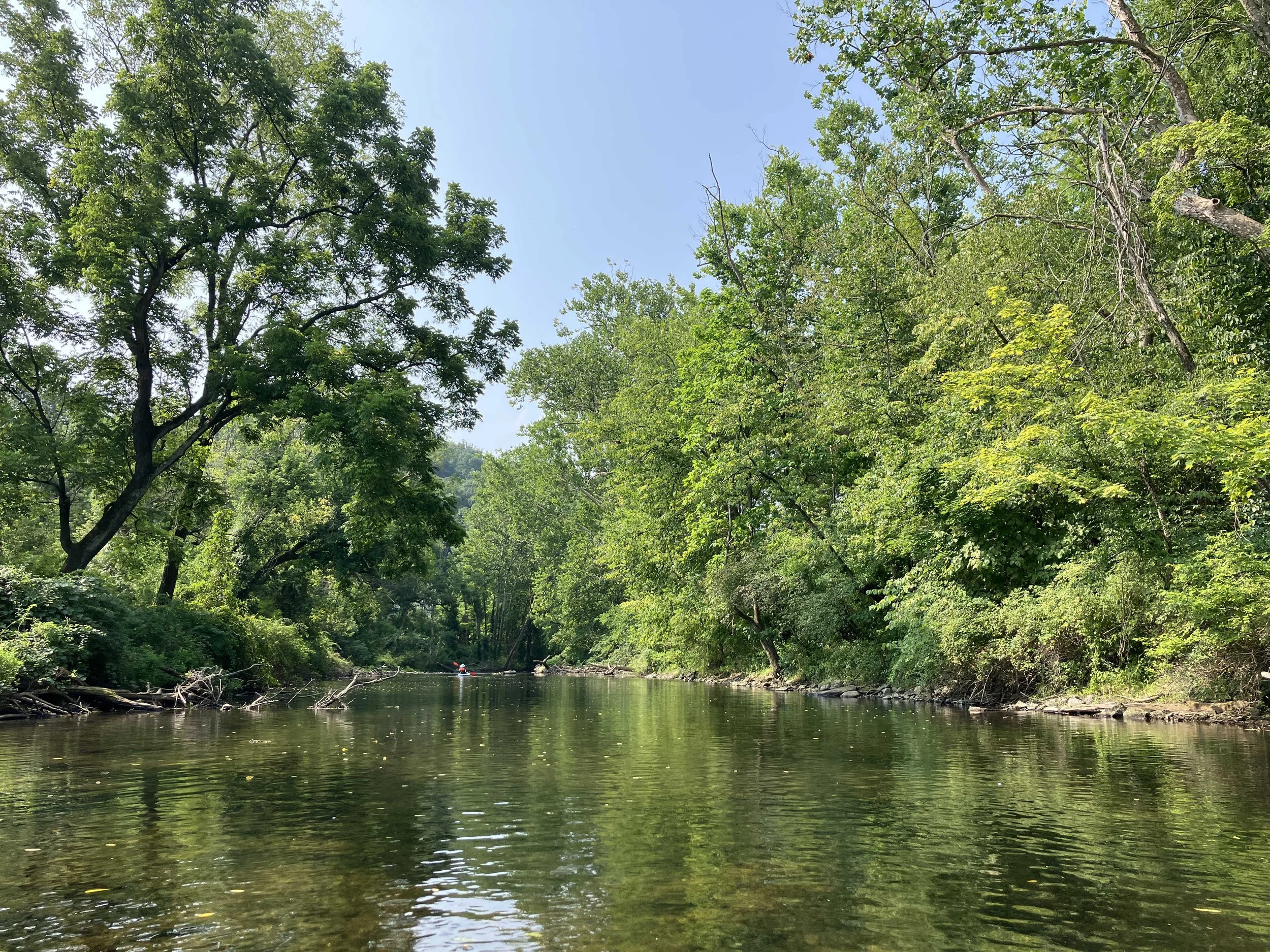
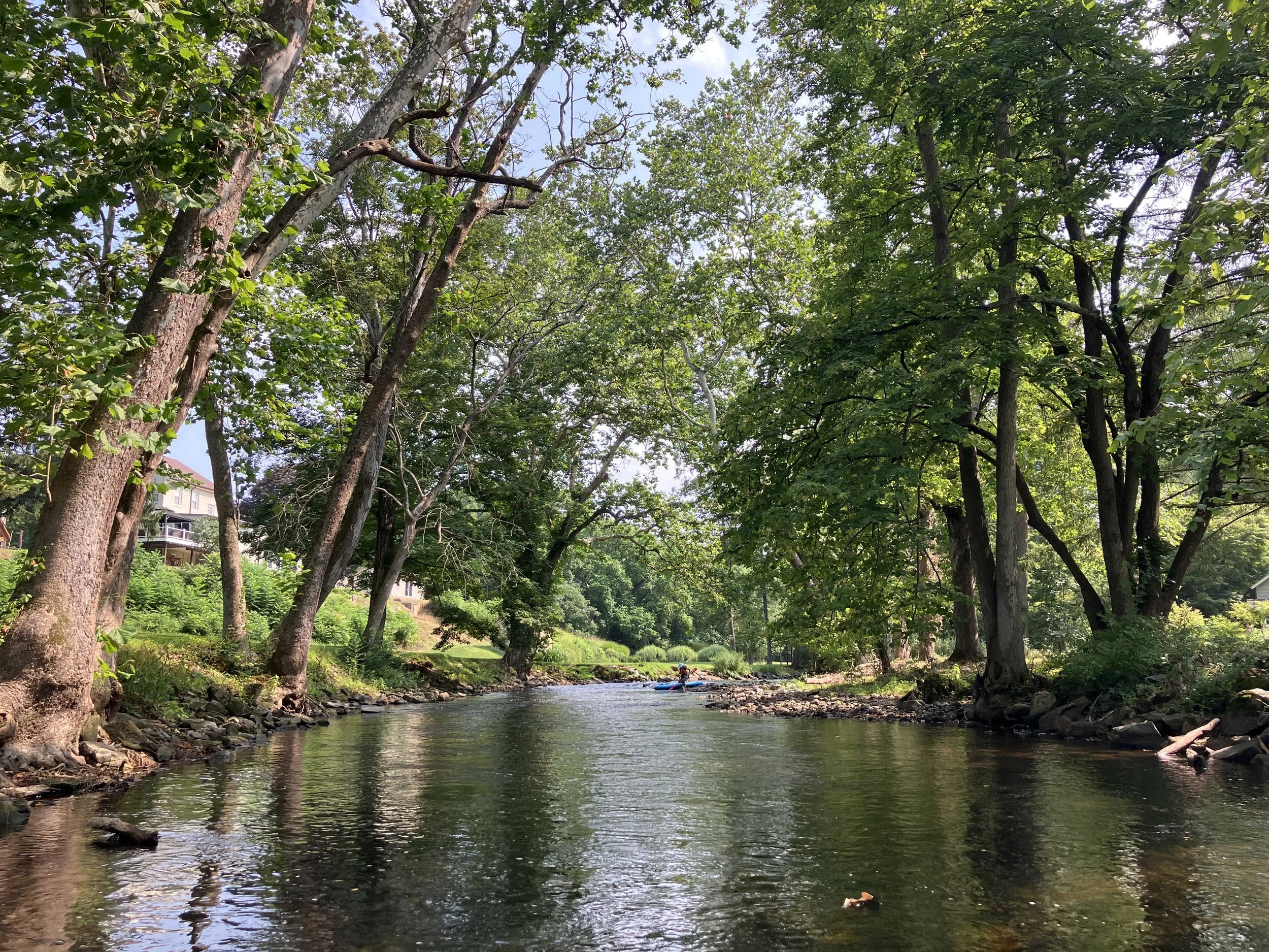
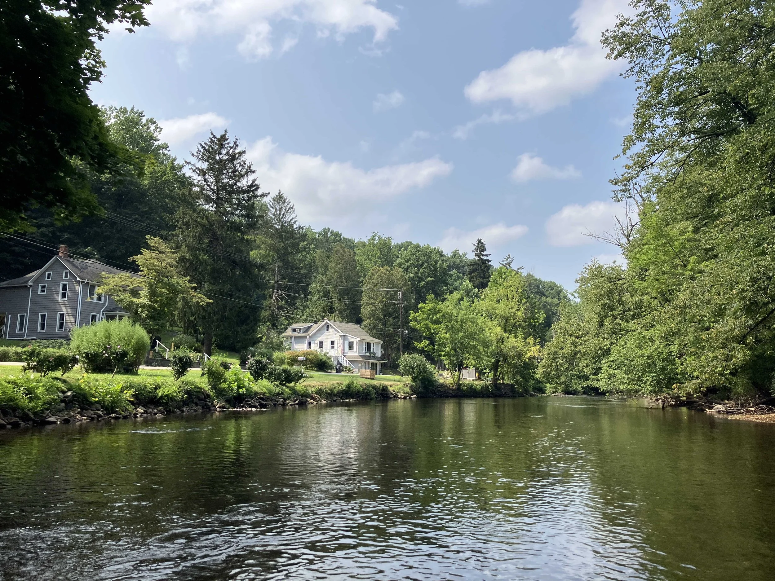
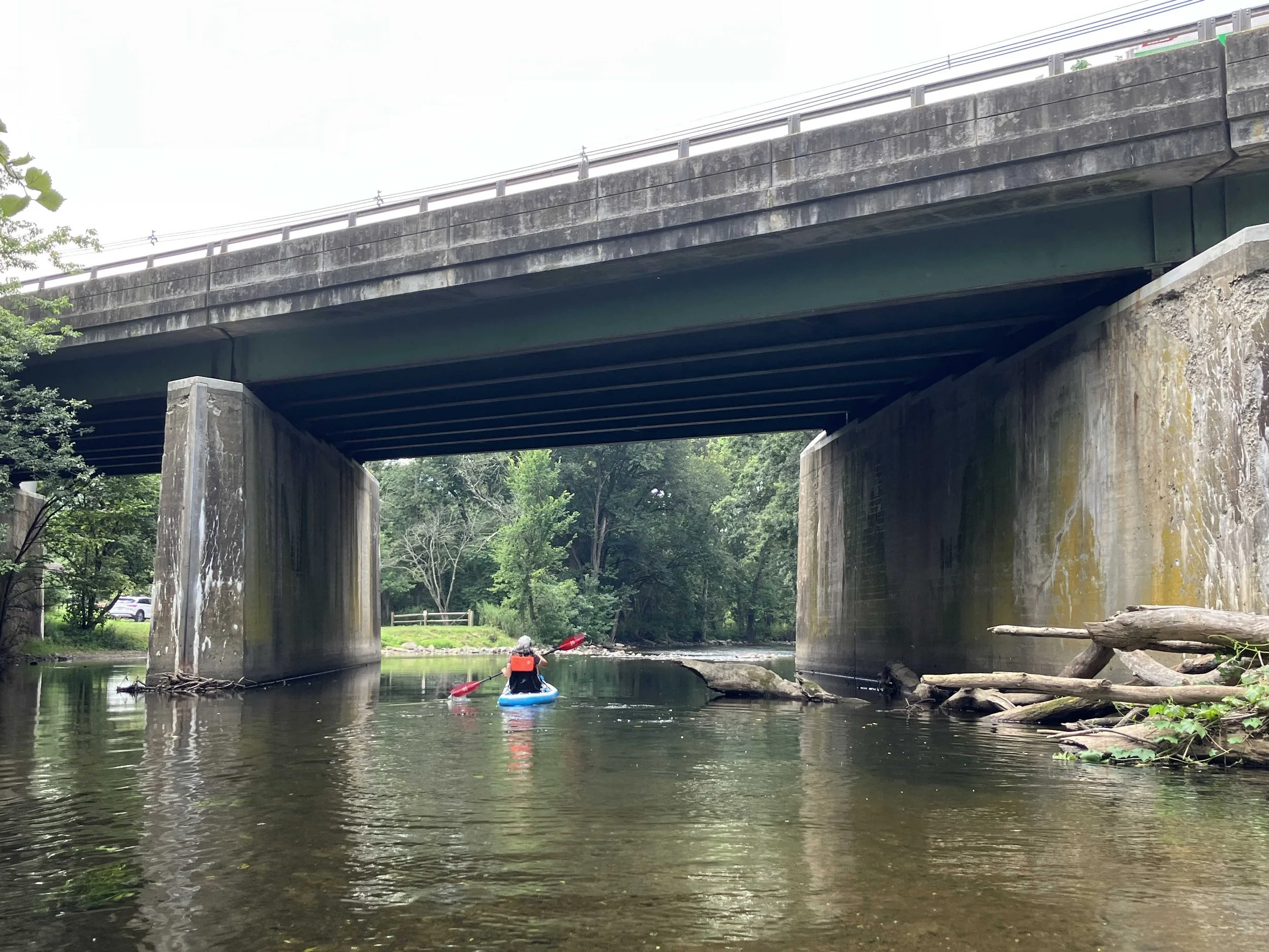
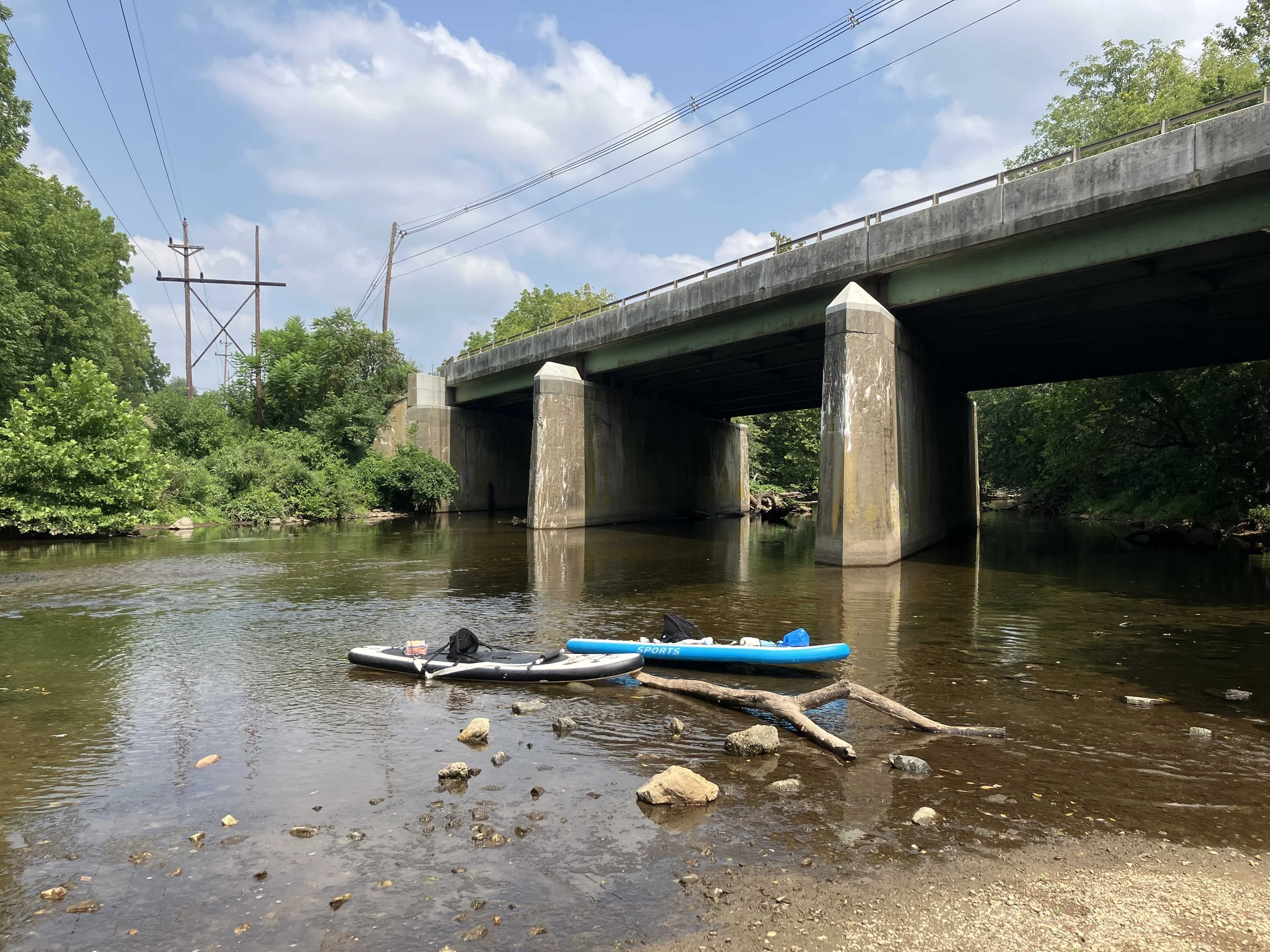
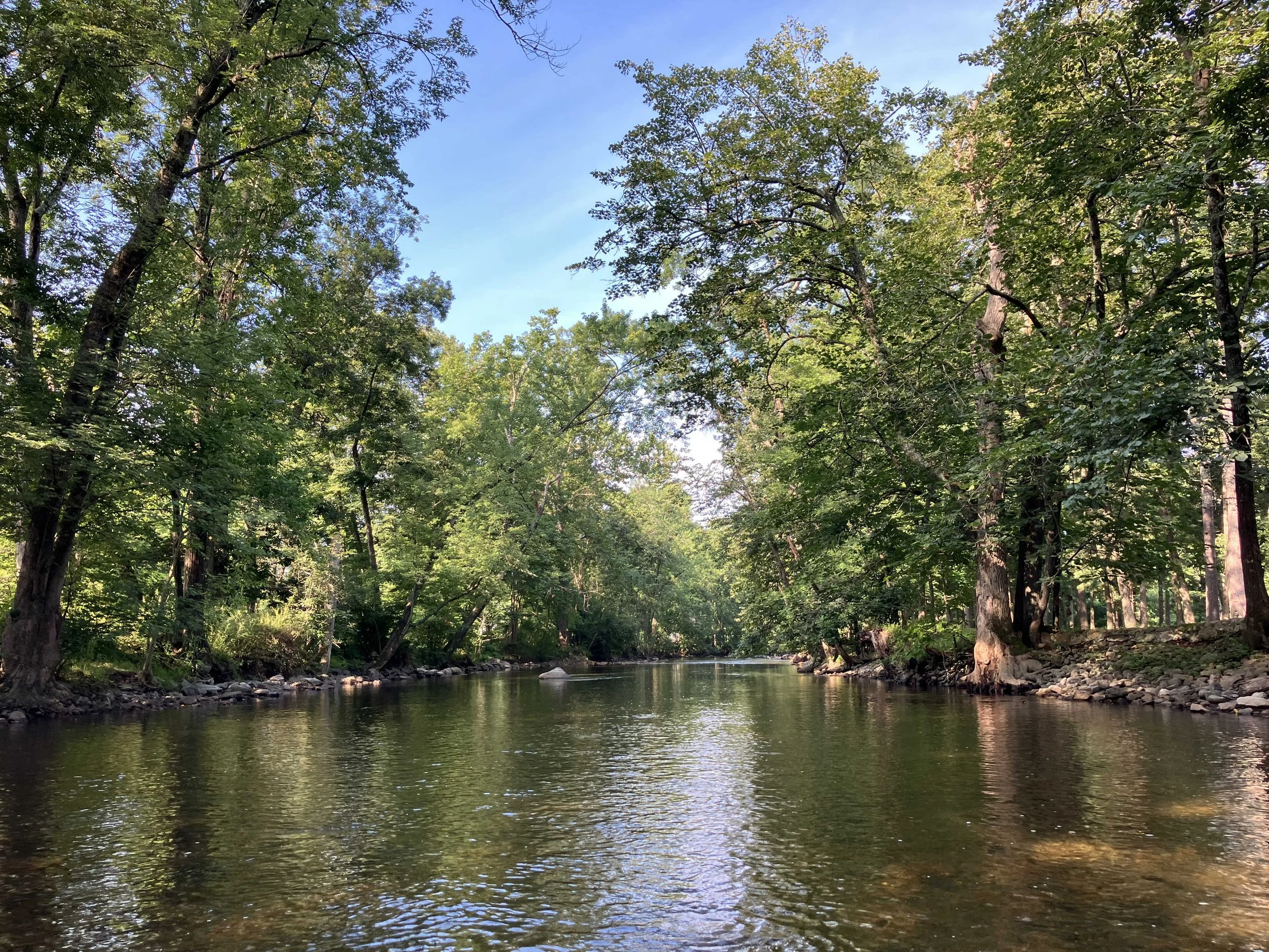
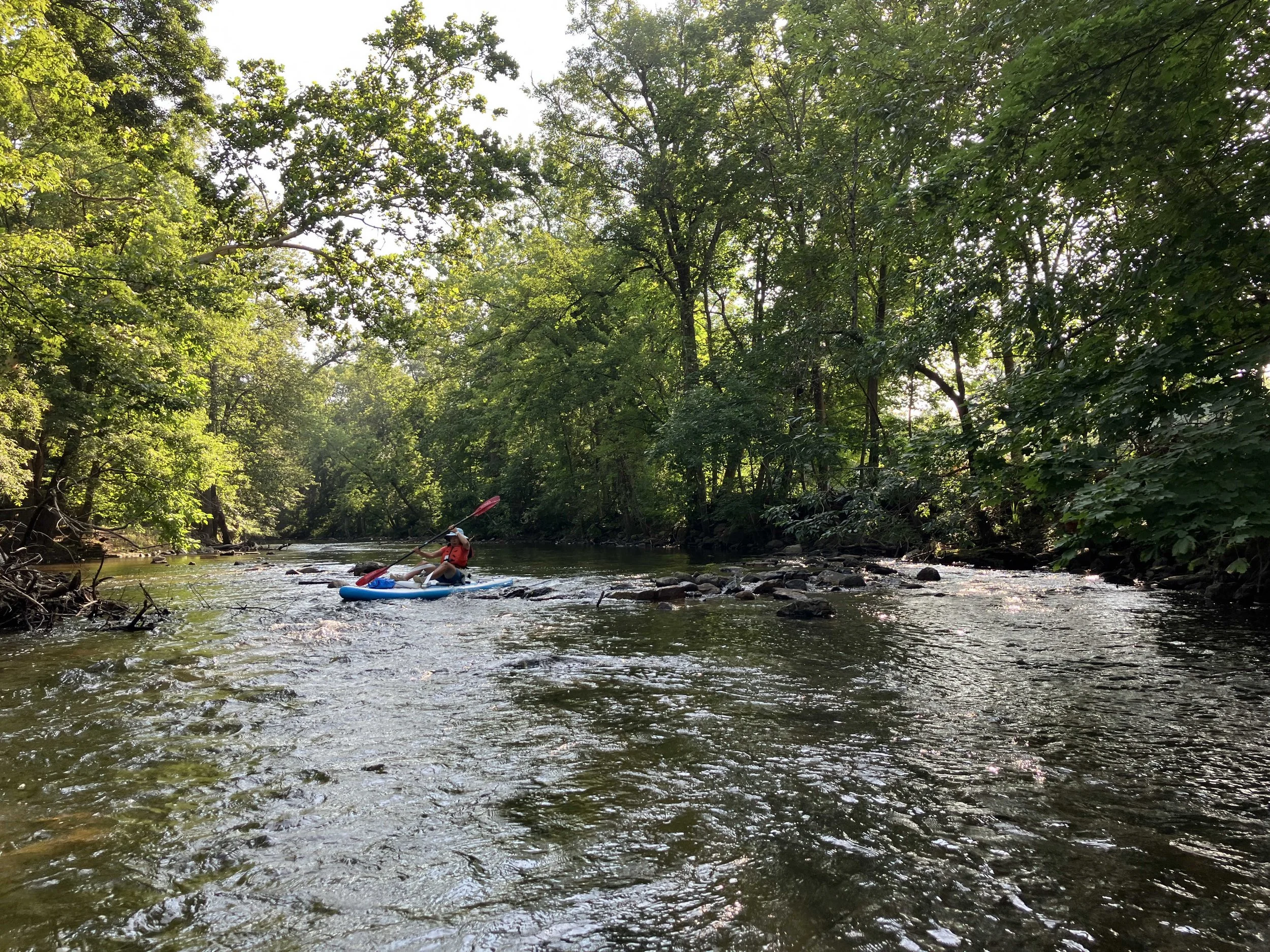
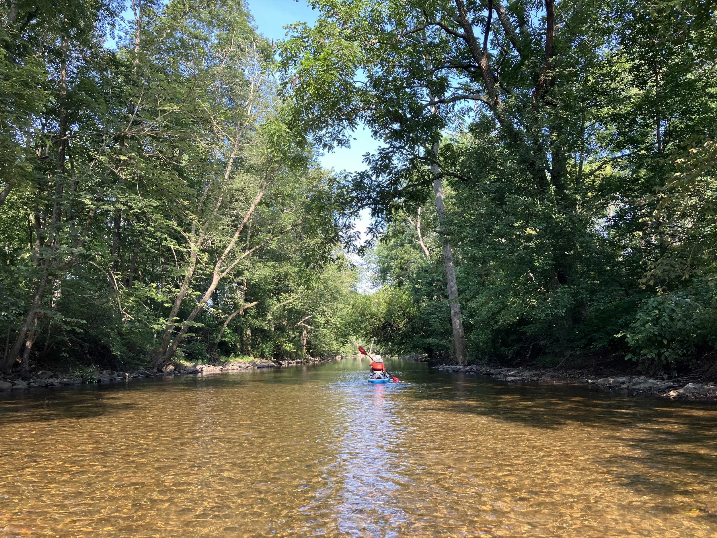
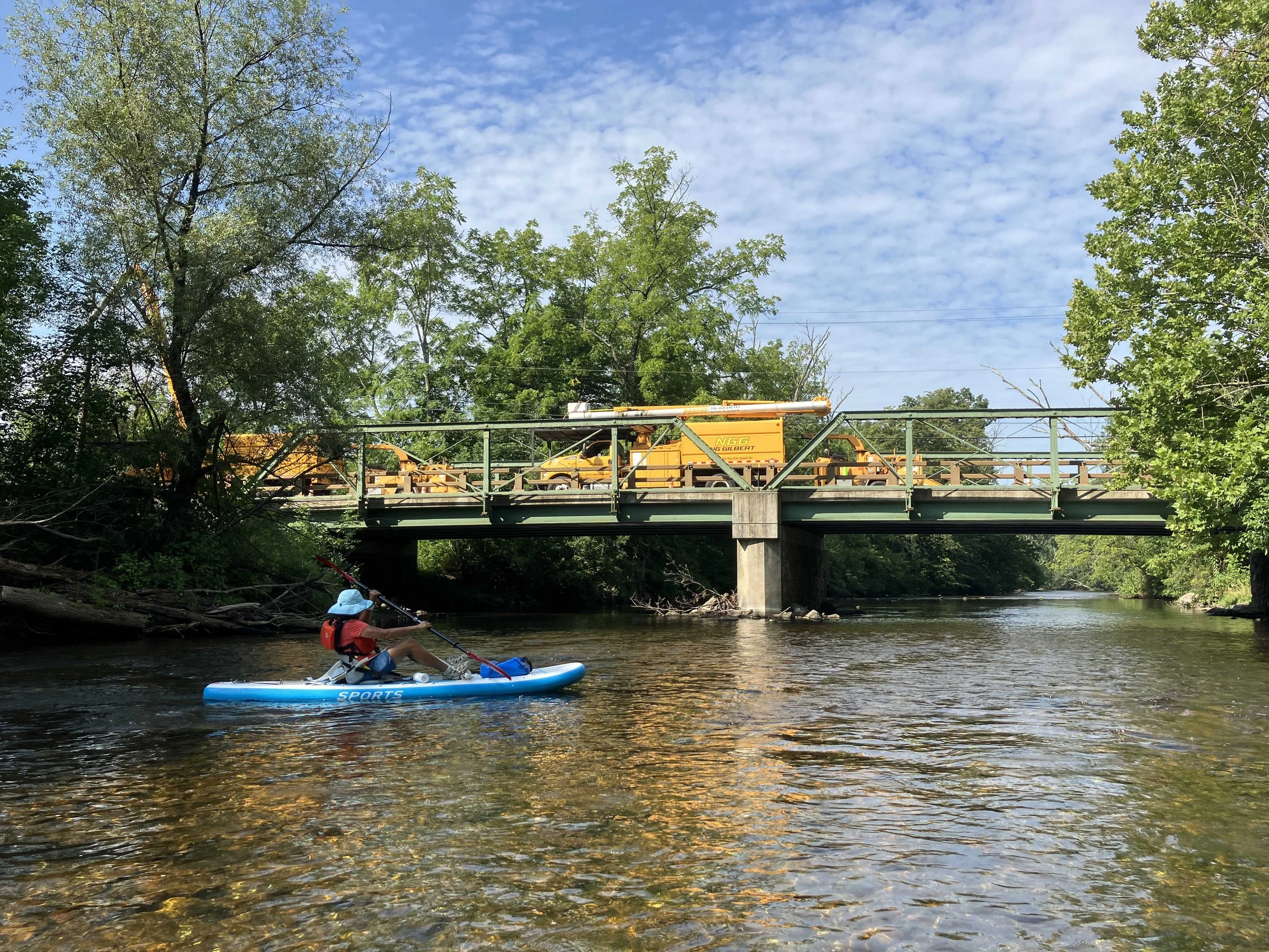
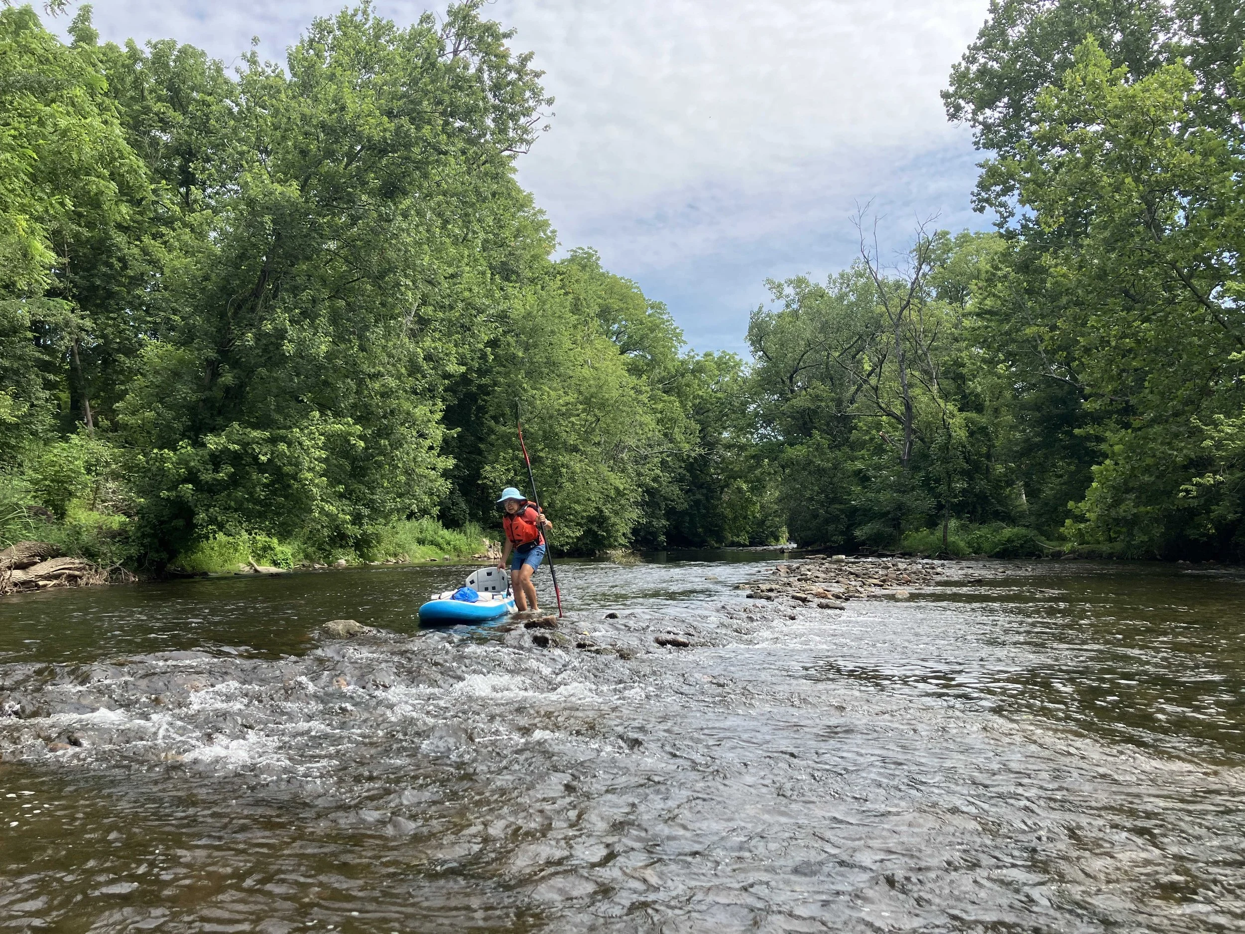
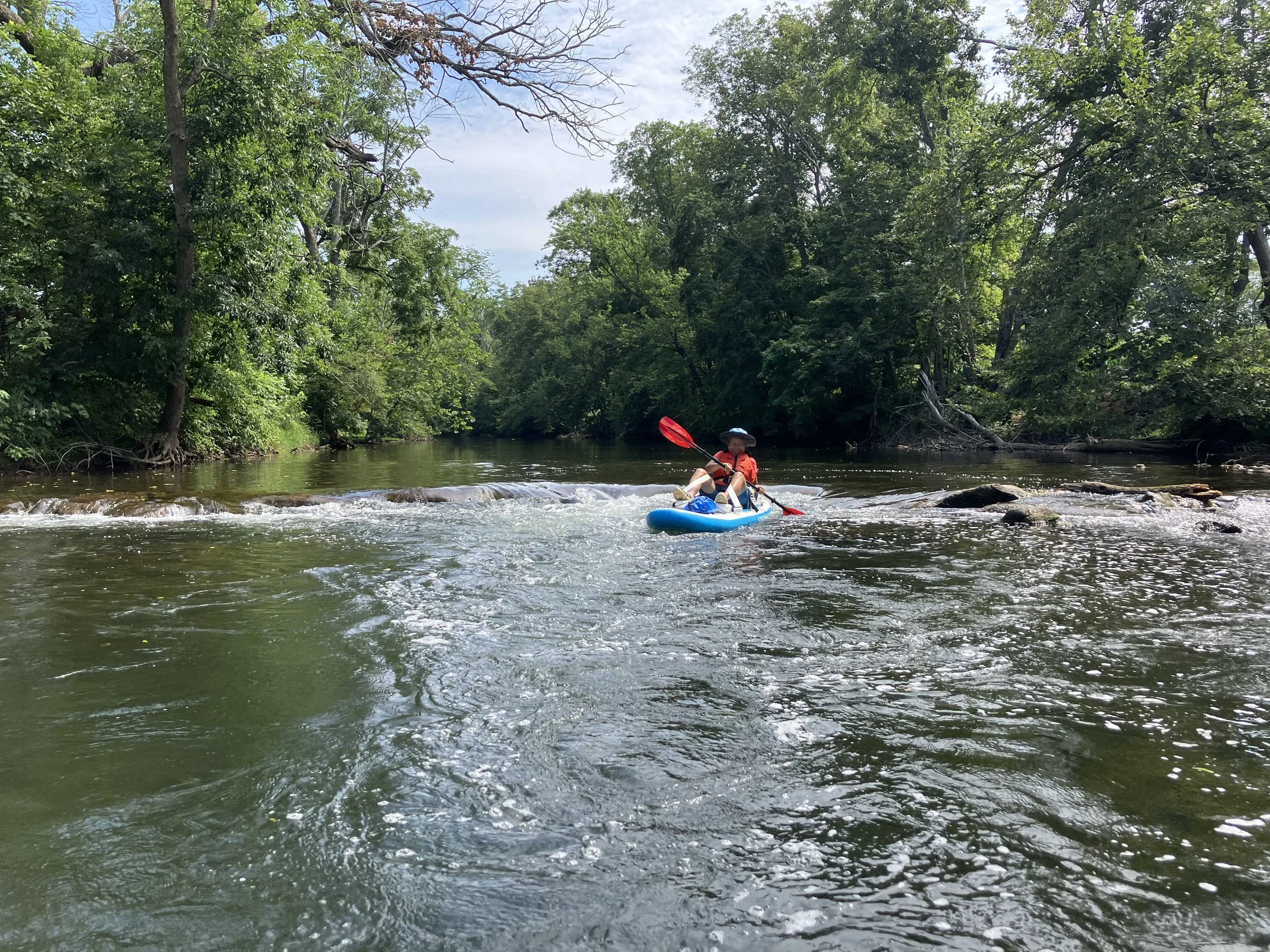
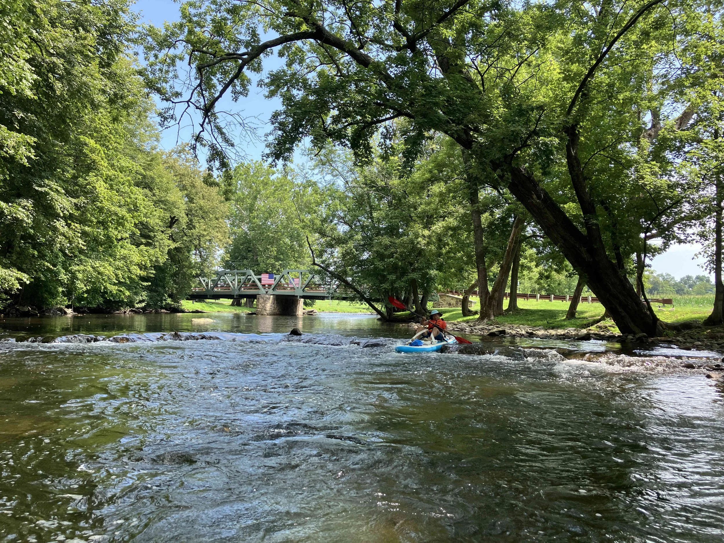
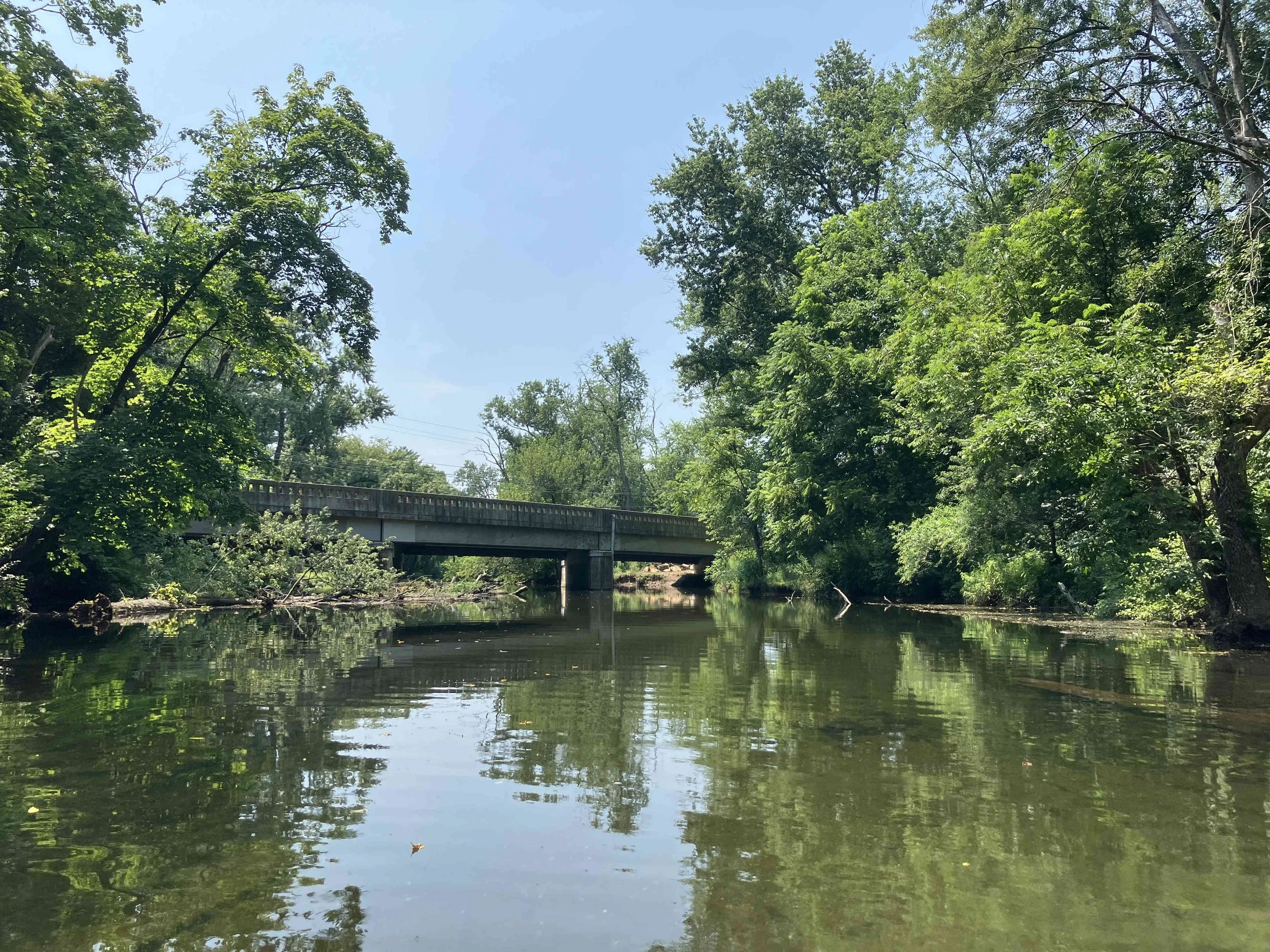
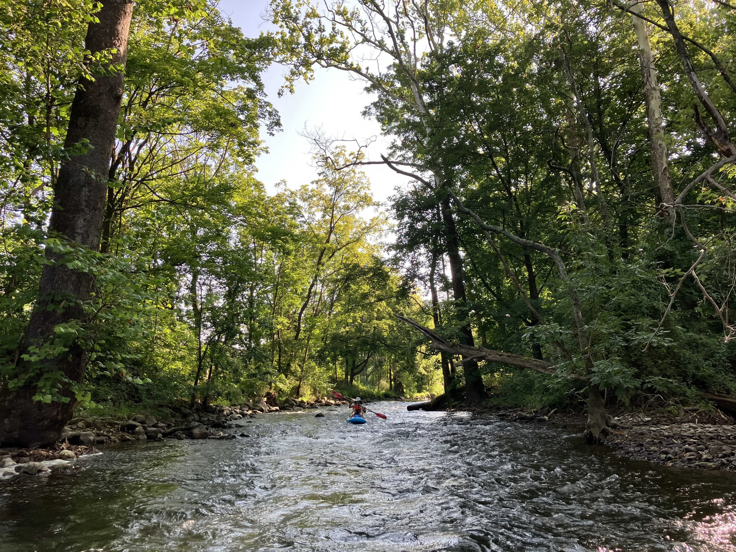
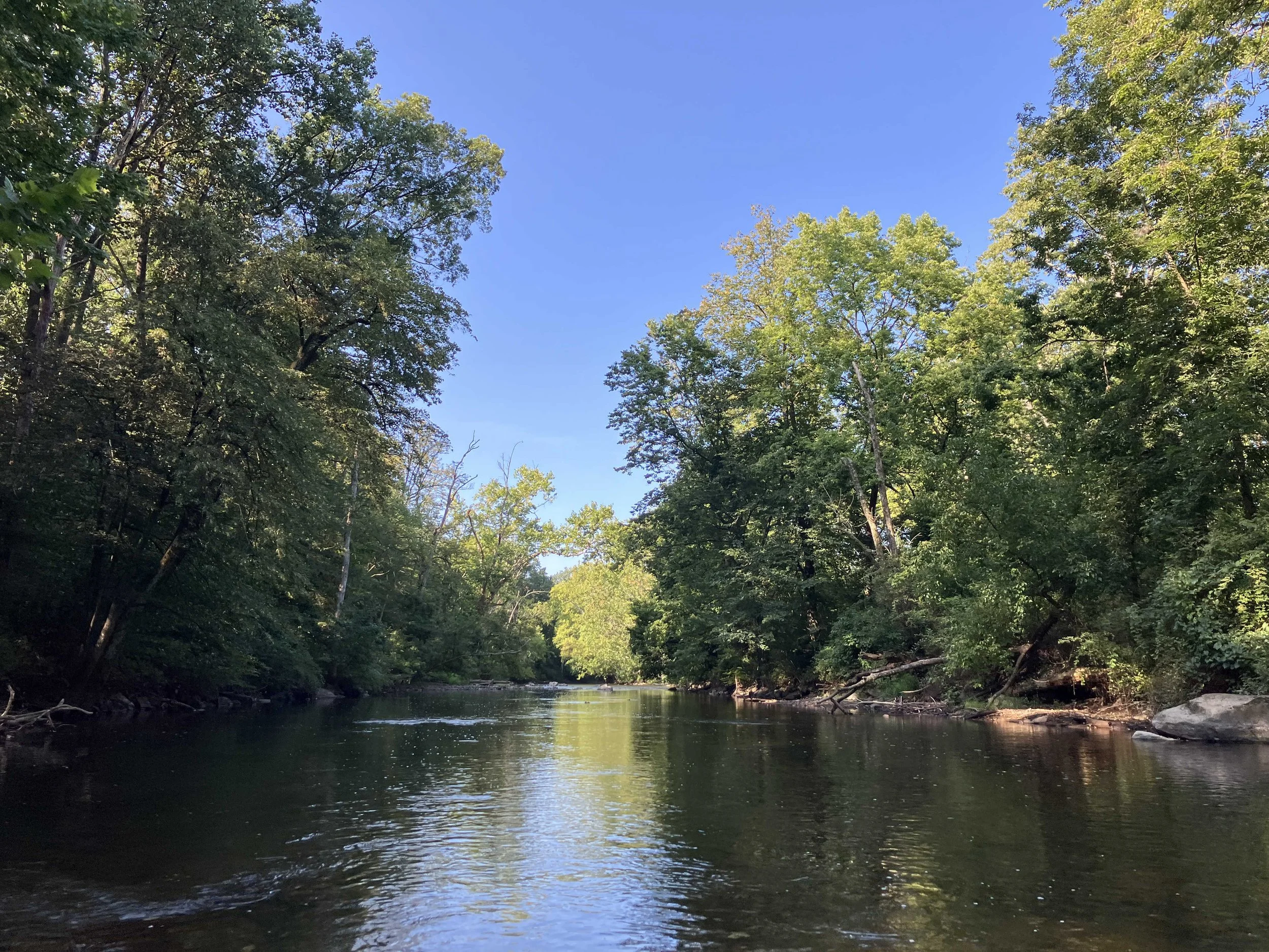
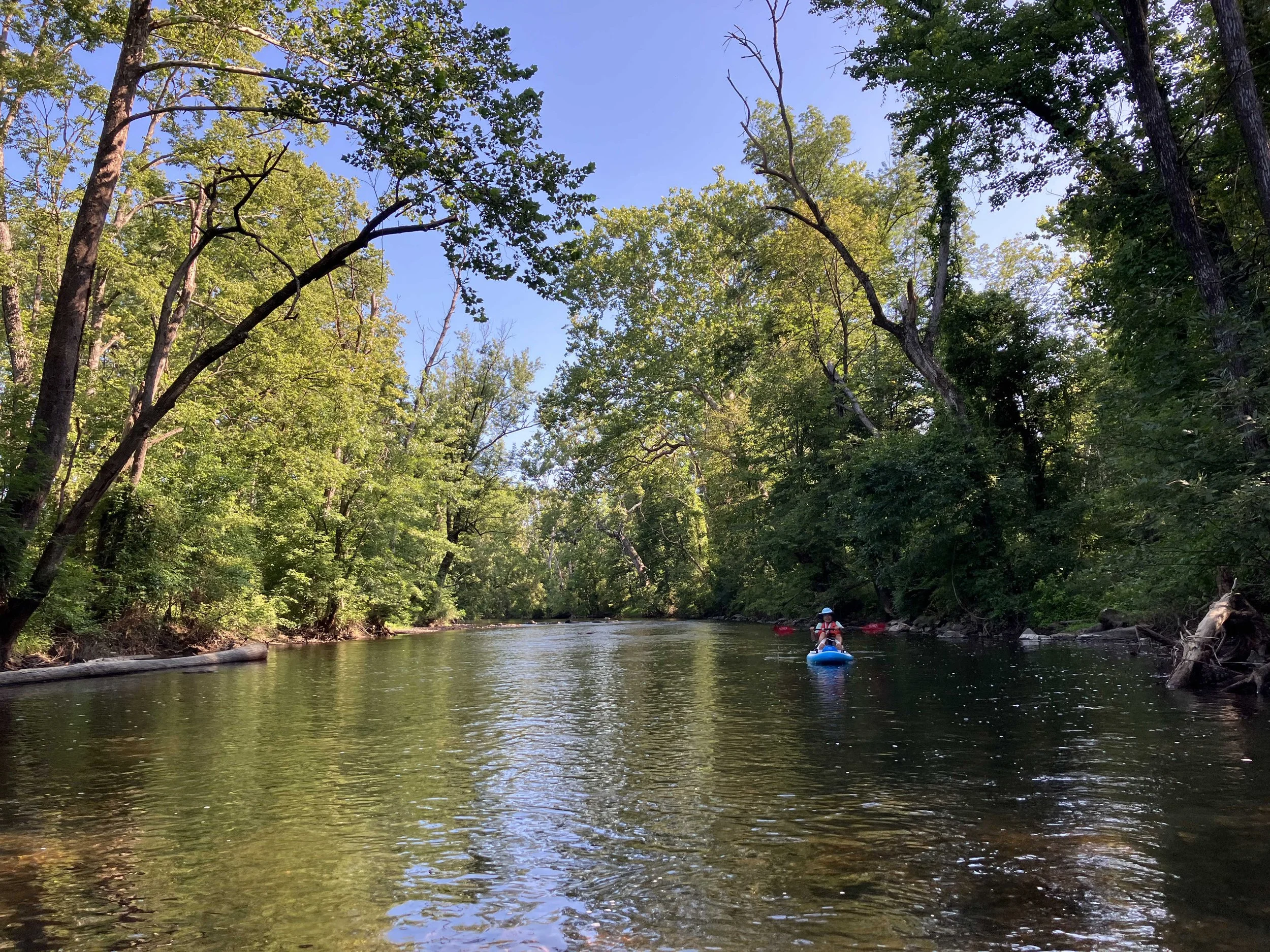
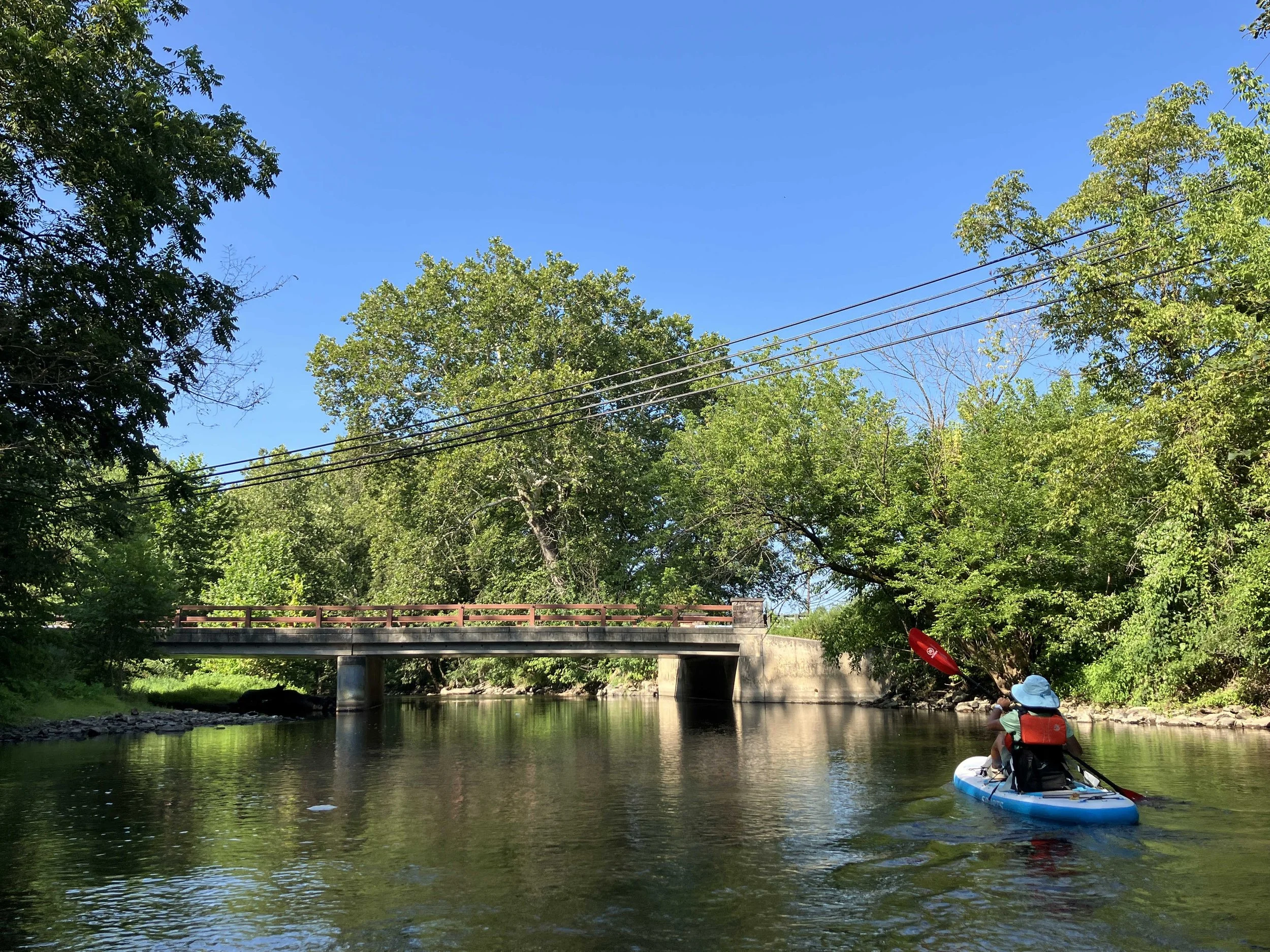
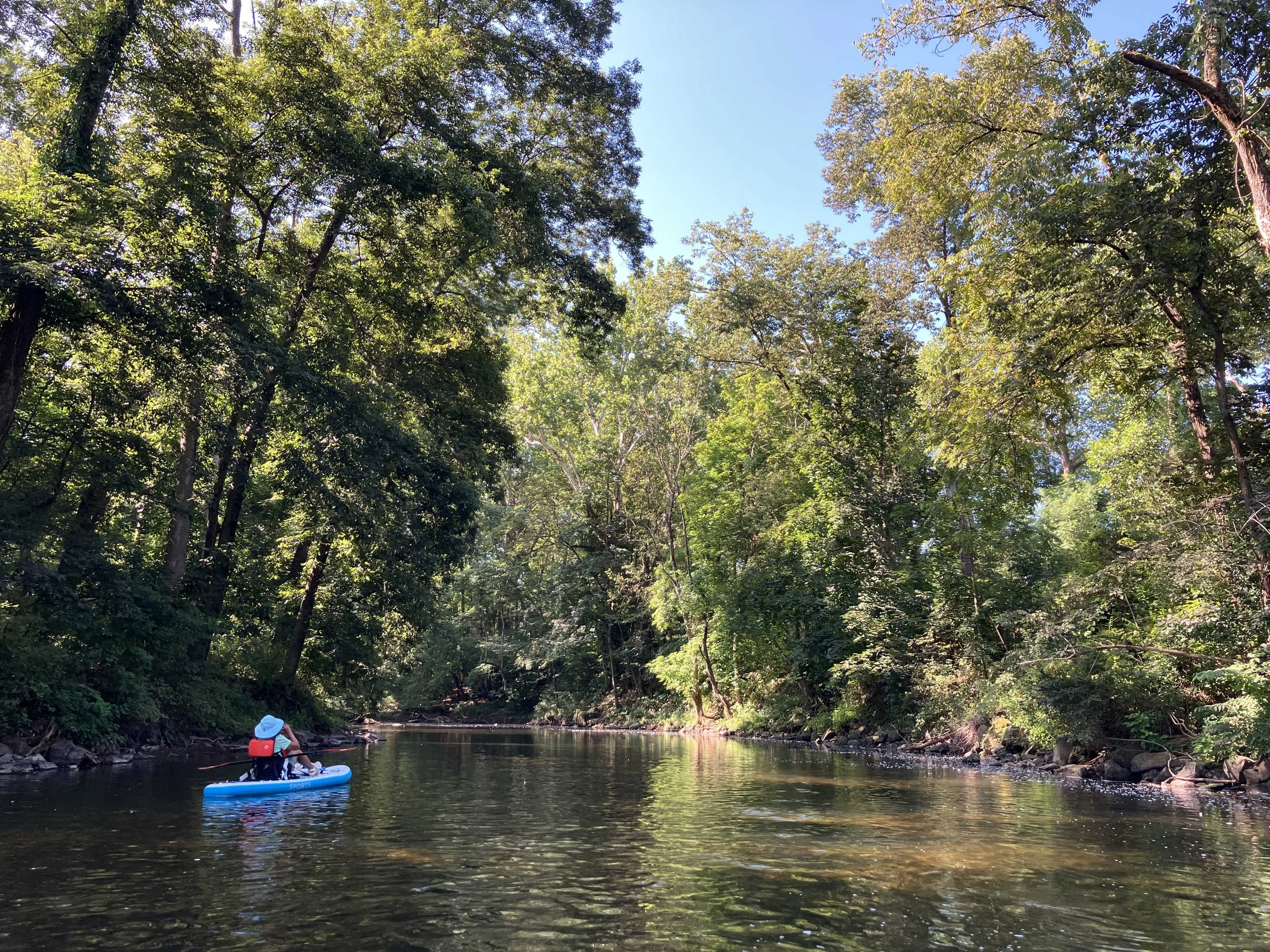
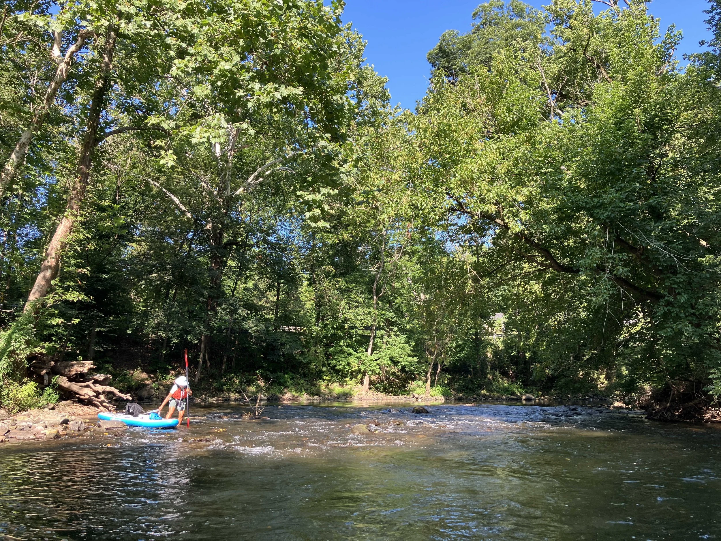
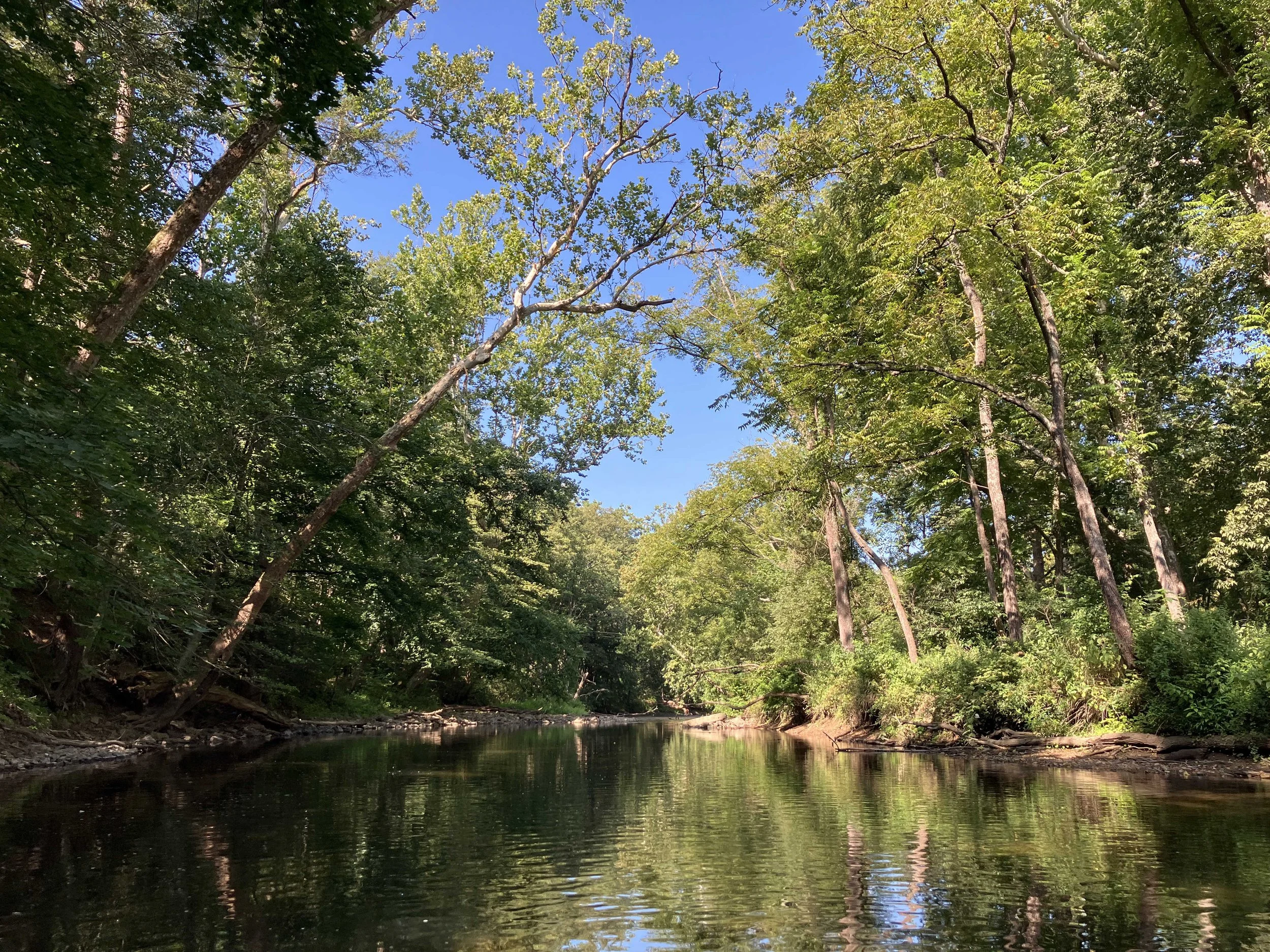
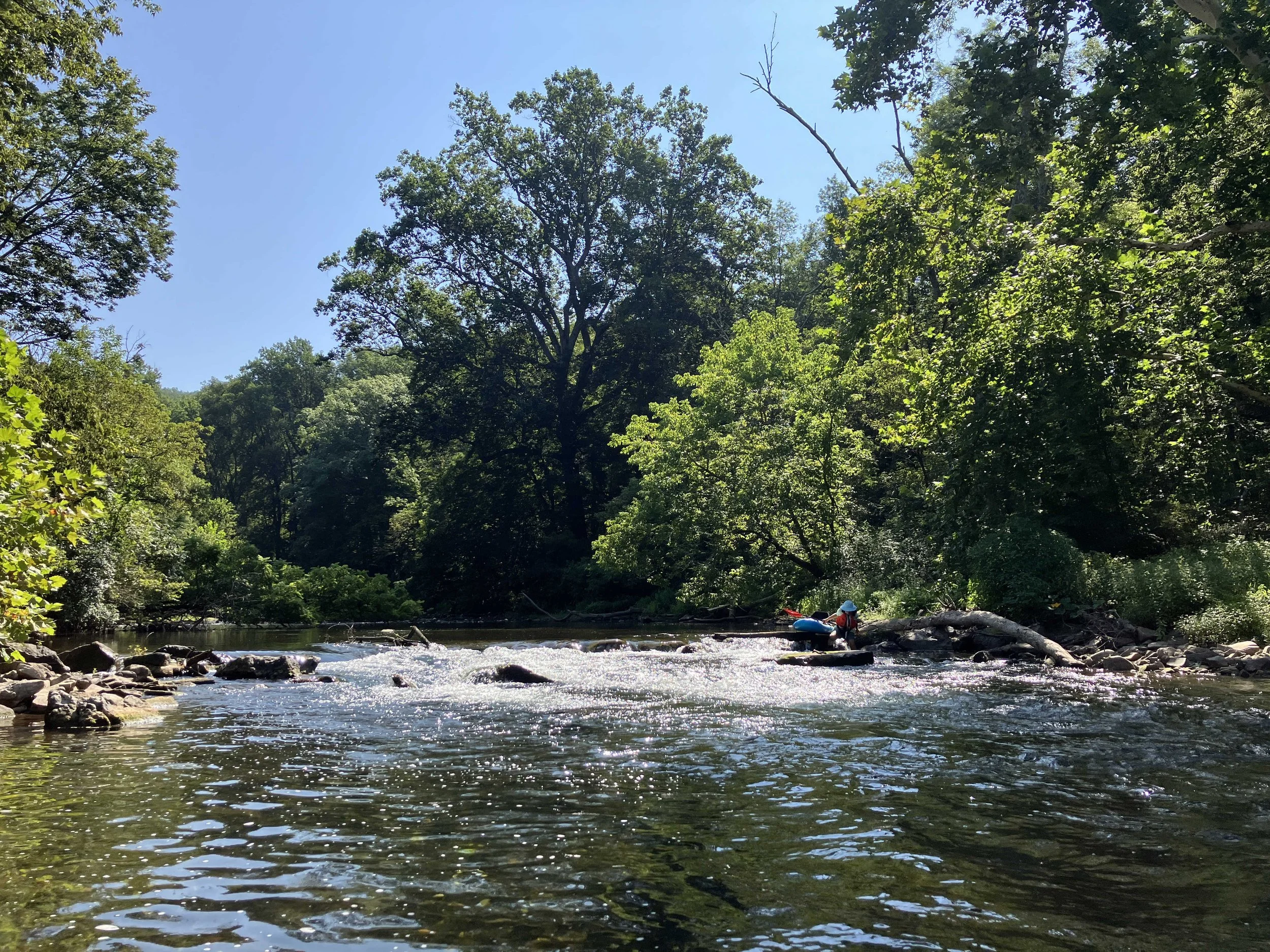
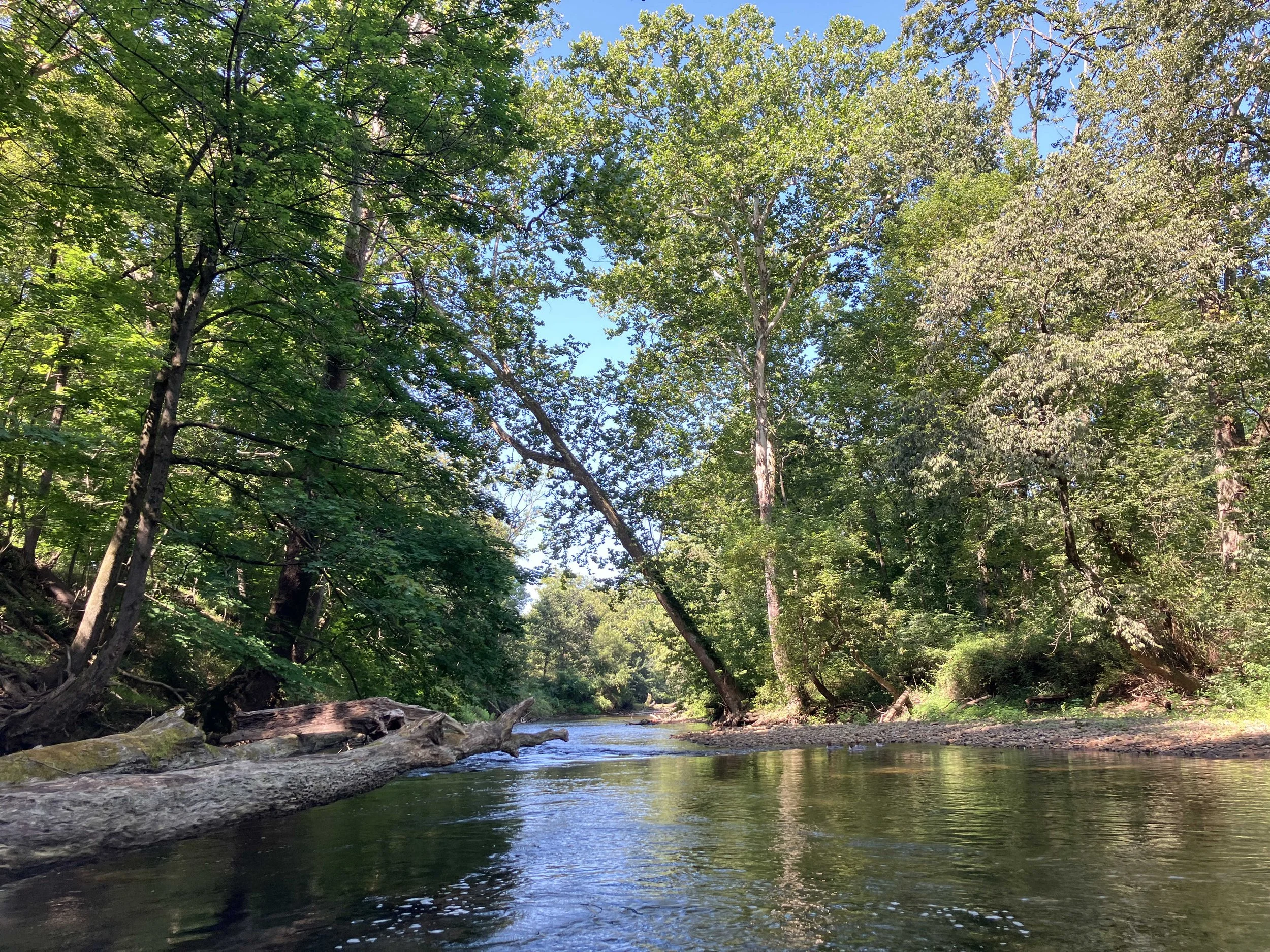
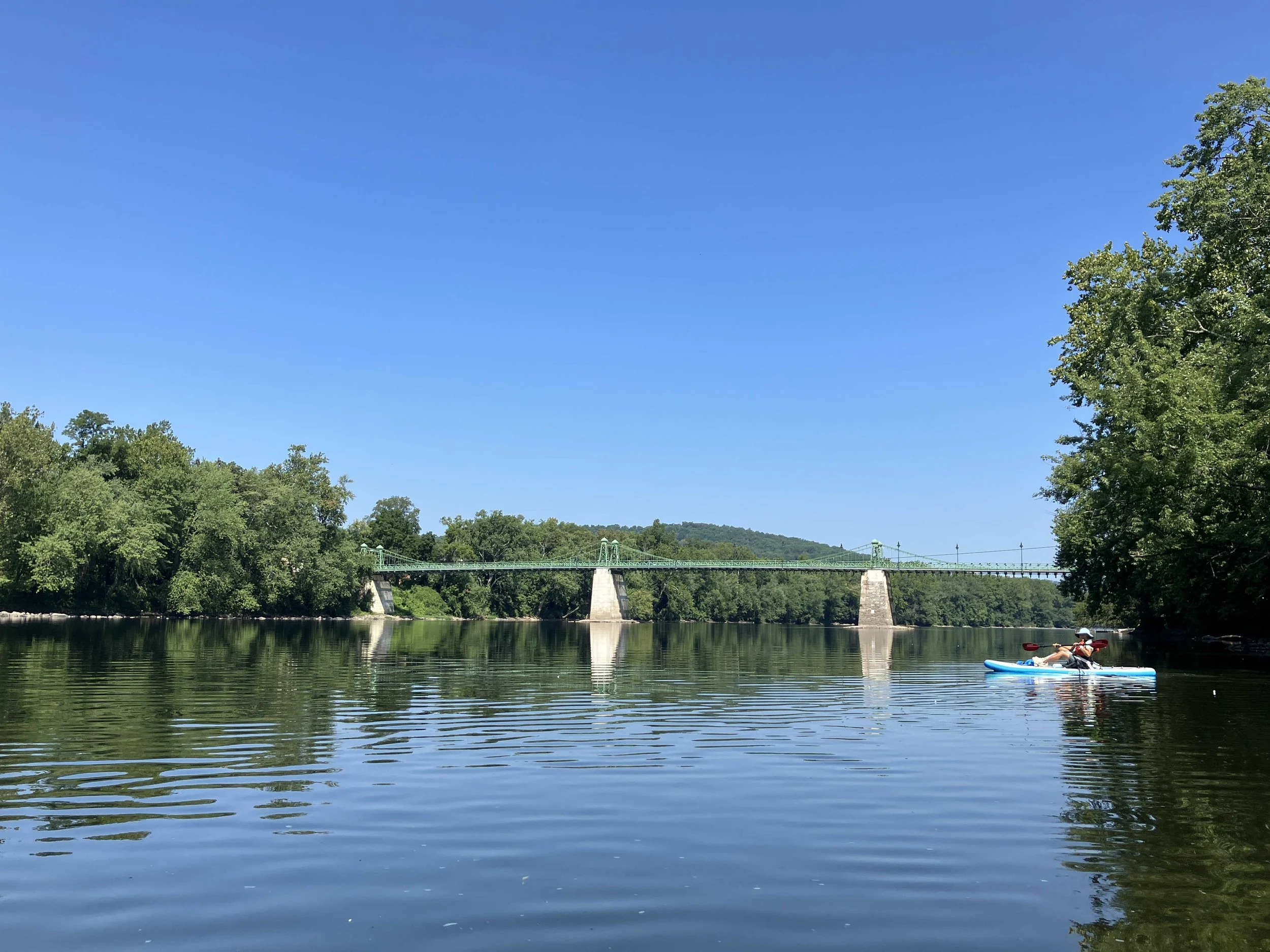
Musconetcong River #4: Point Mountain Road to Hampton Borough Park
This six-mile section of the river is pretty. There were no obstructions, but there were a couple of small rapids where we felt it was prudent to walk around. The river is shallow. But if one has a suitable boat, most of it can be paddled without having to walk.
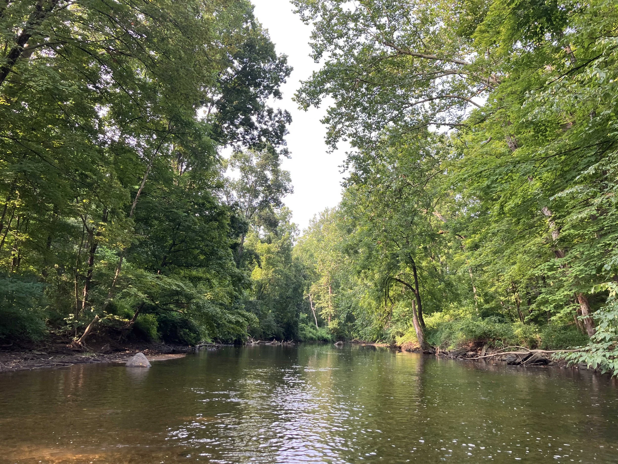
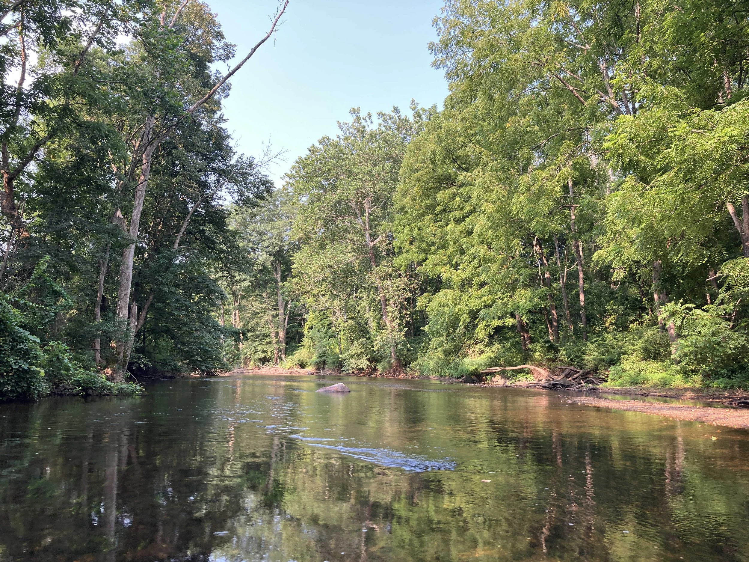
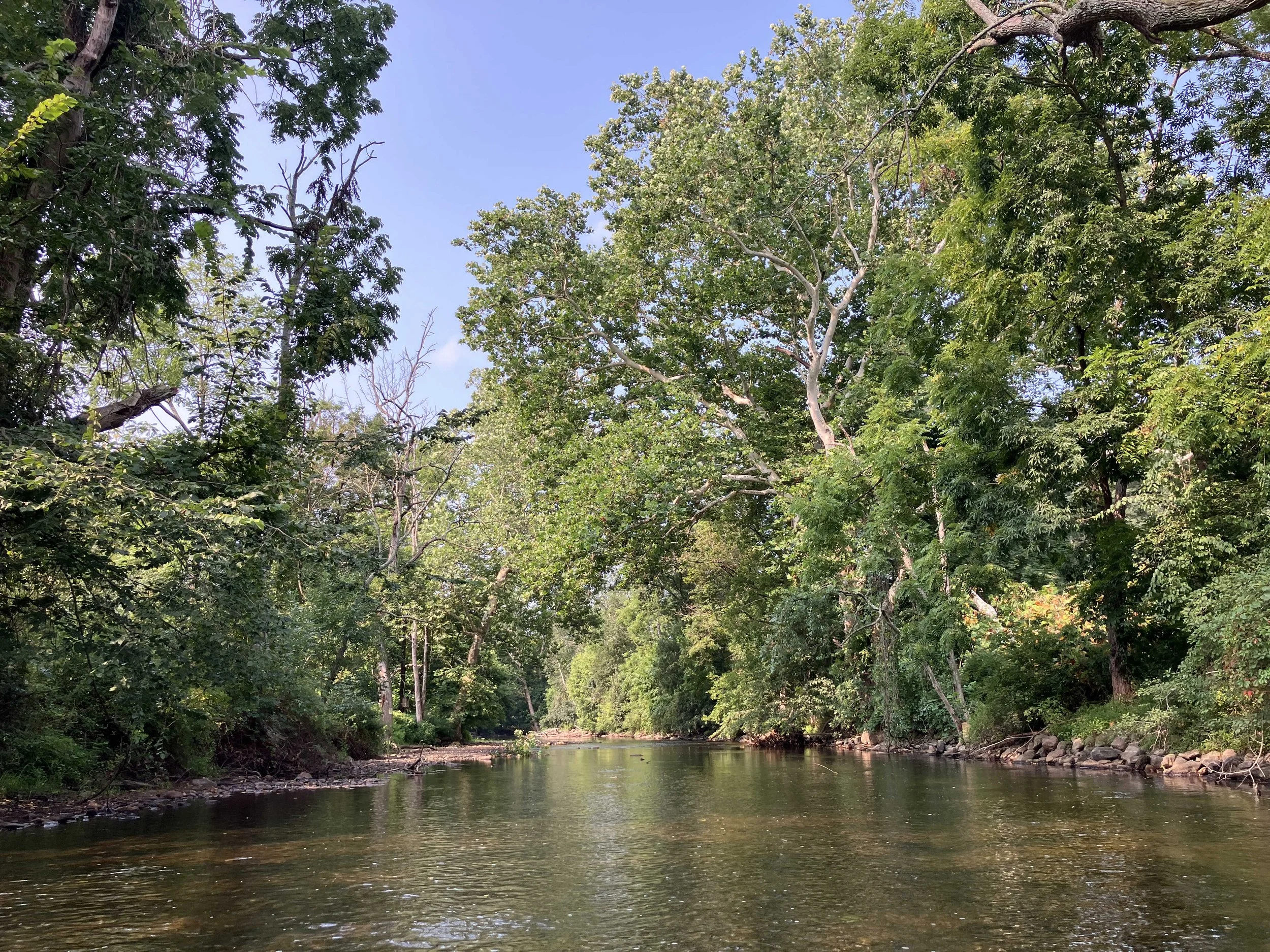
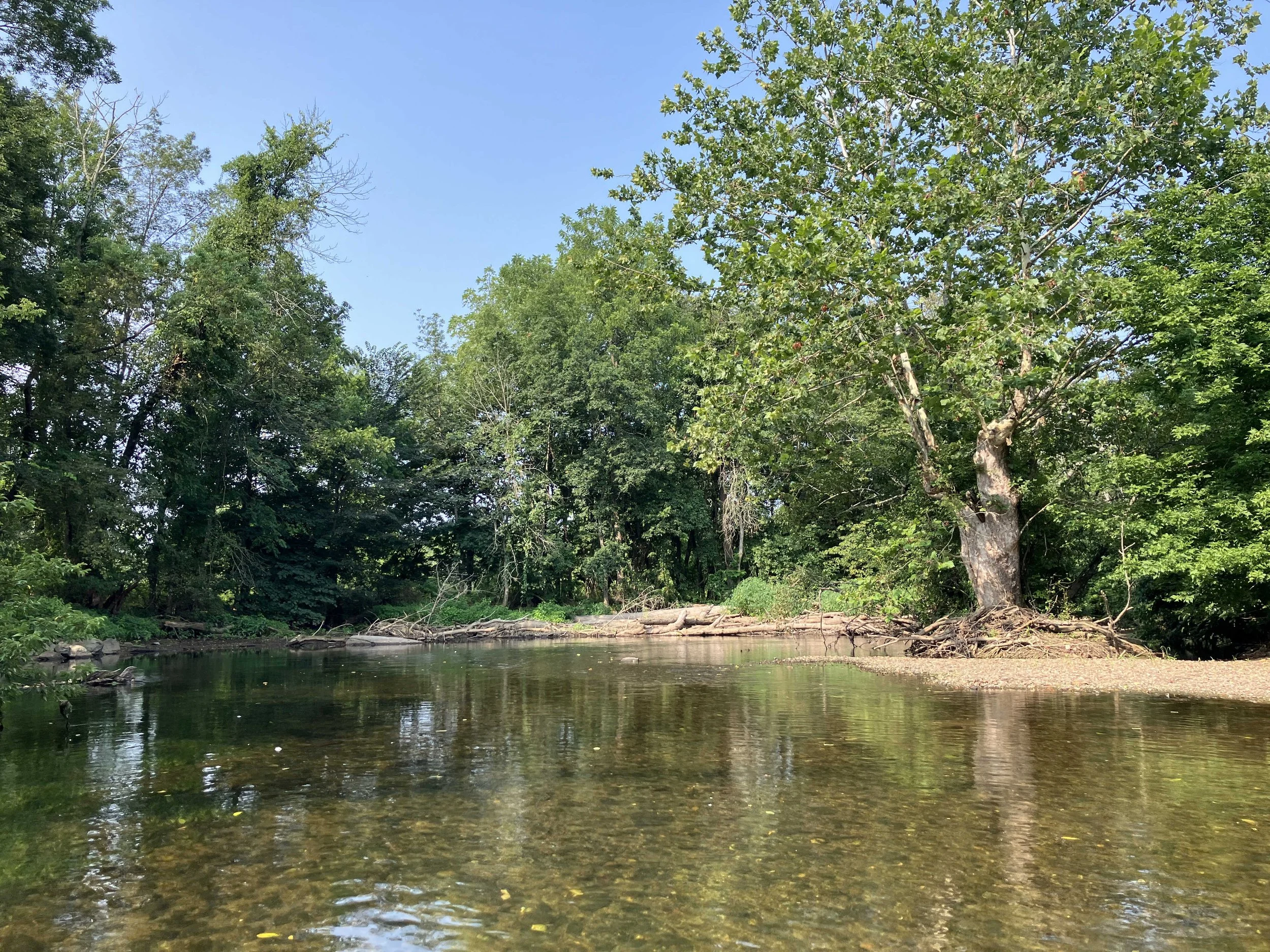
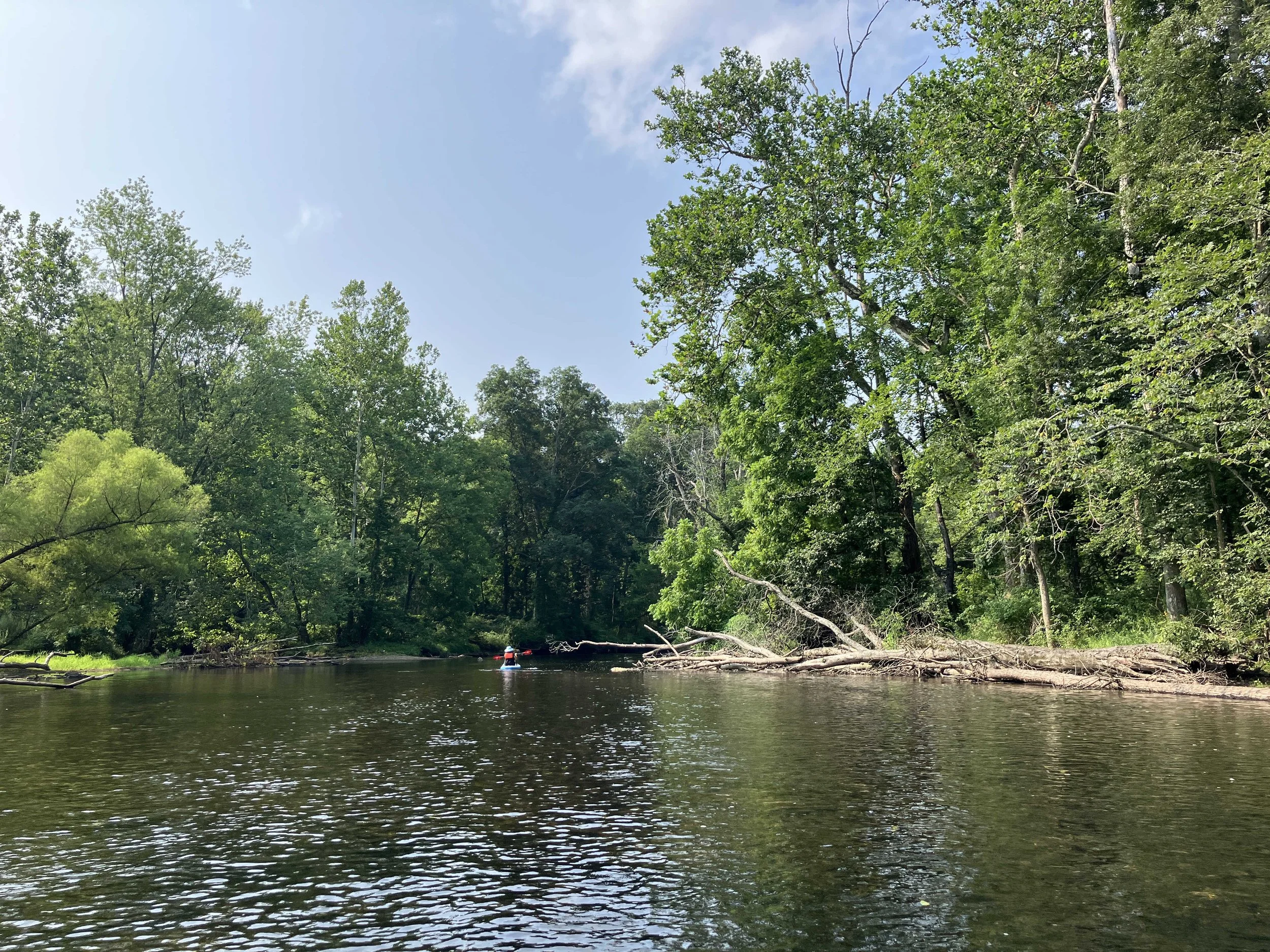
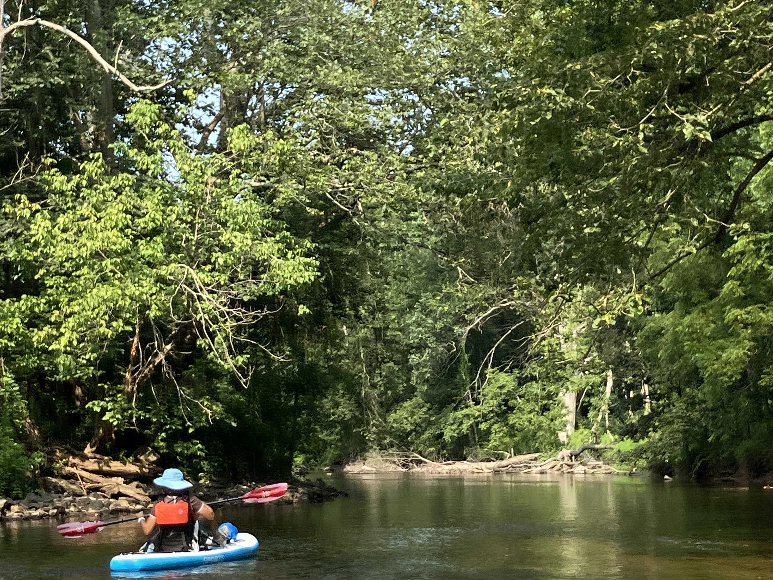
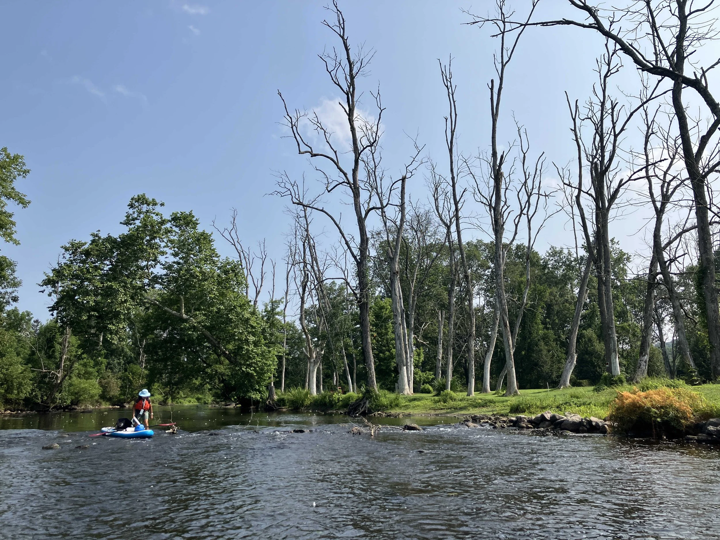
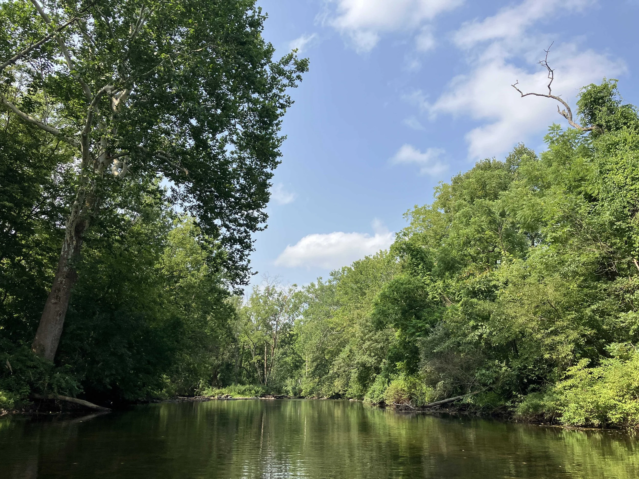
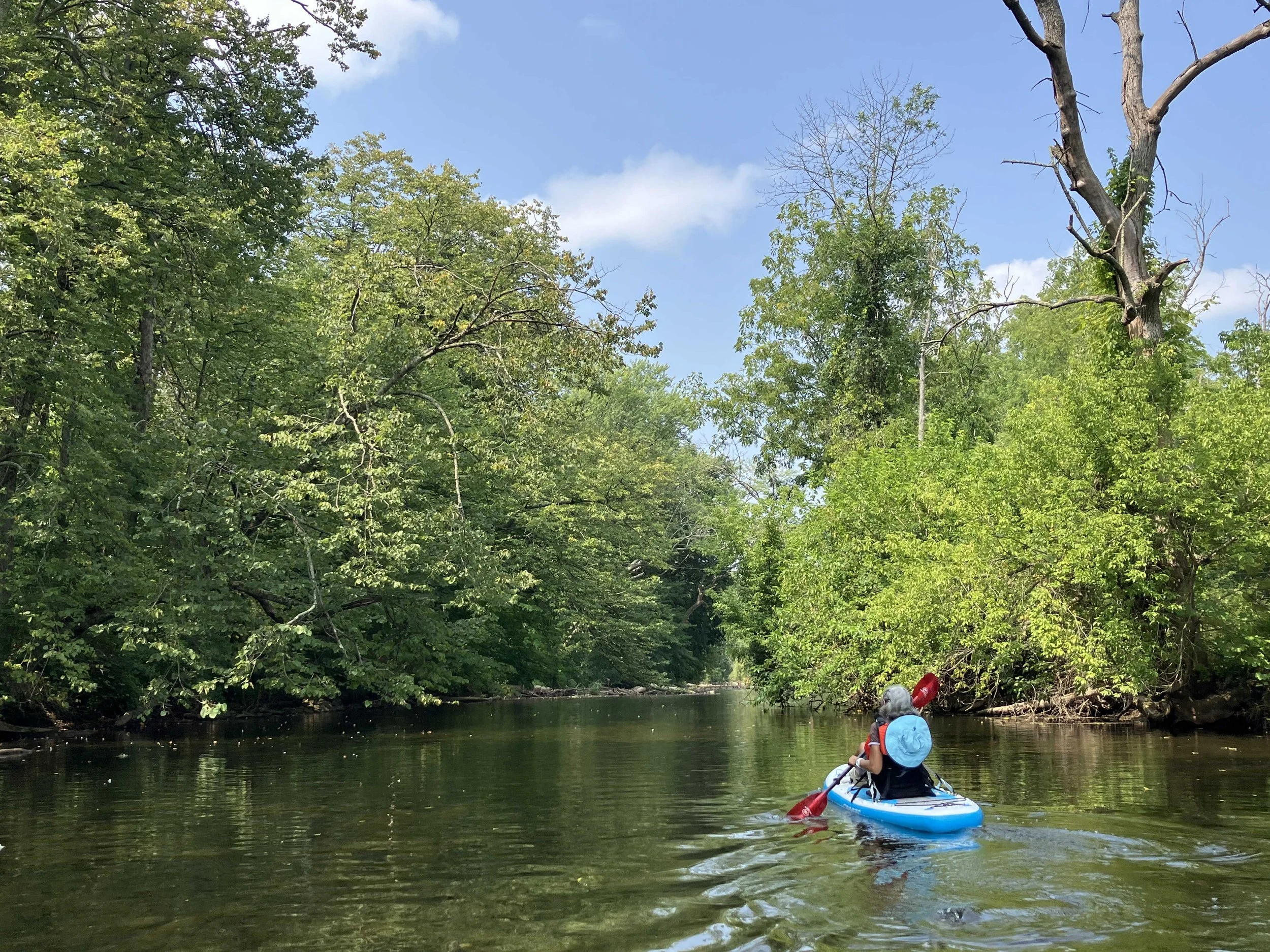
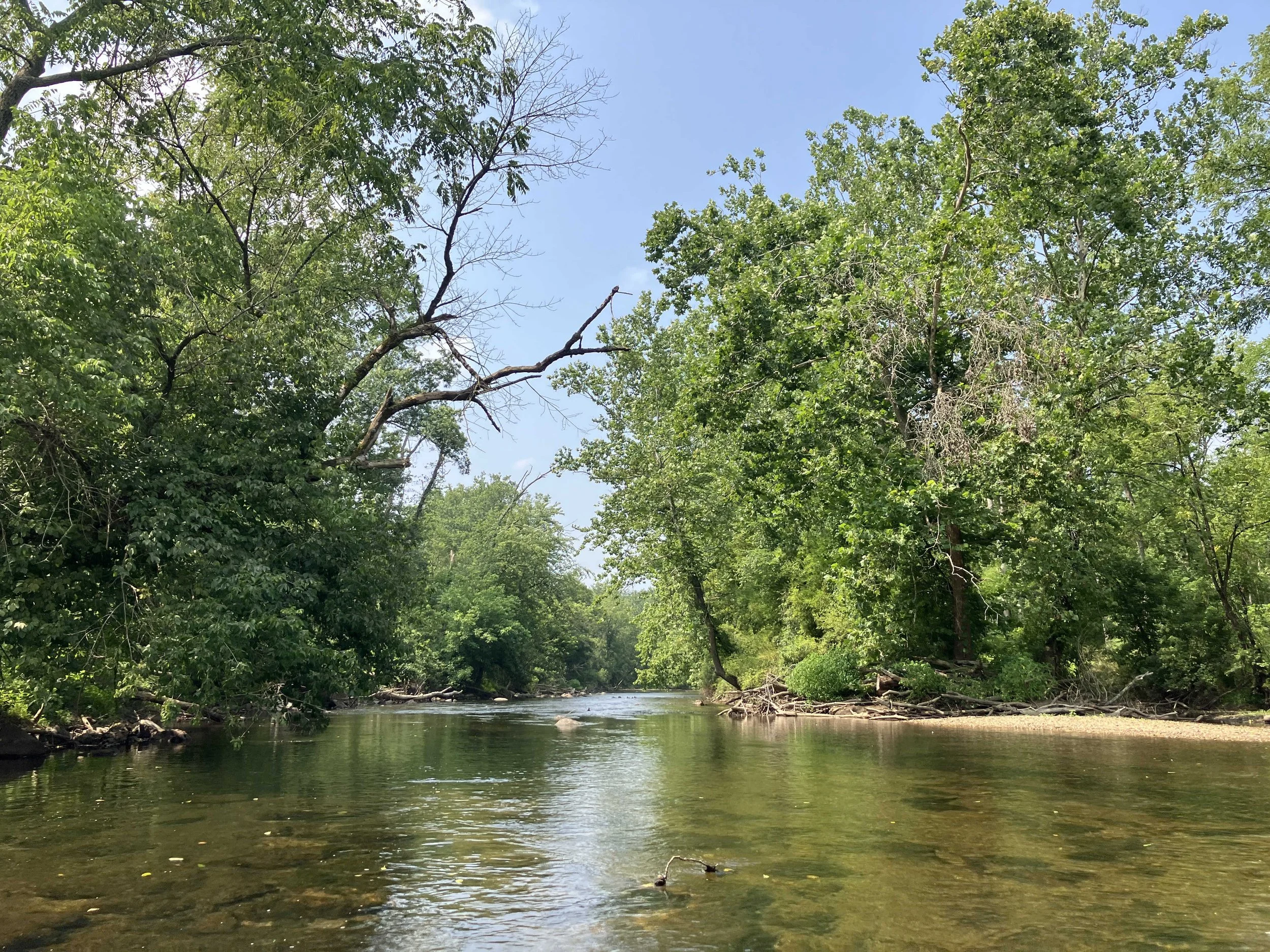
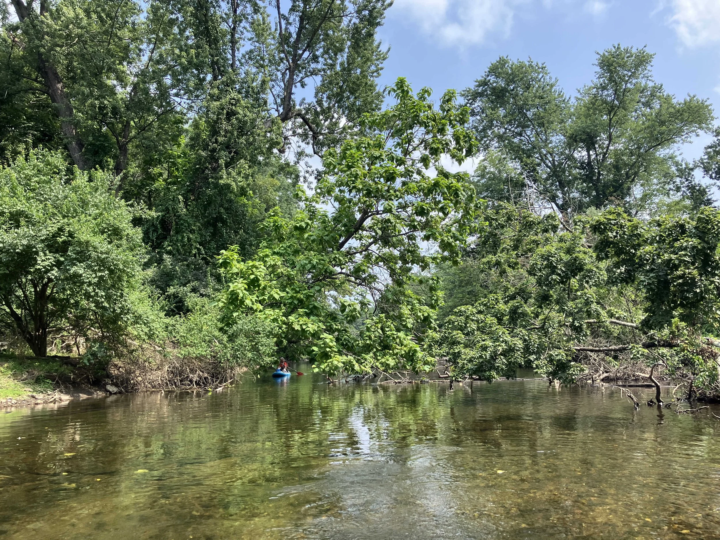
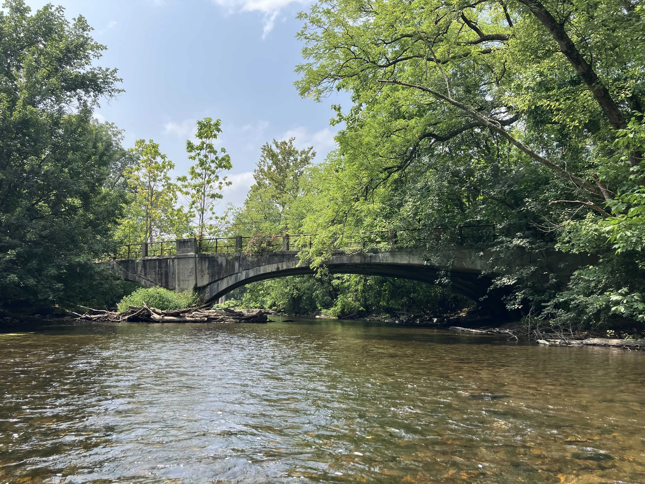
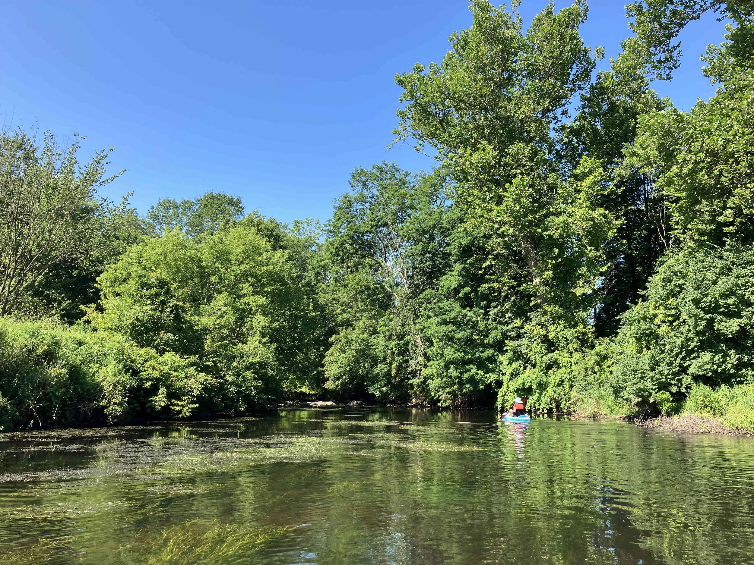
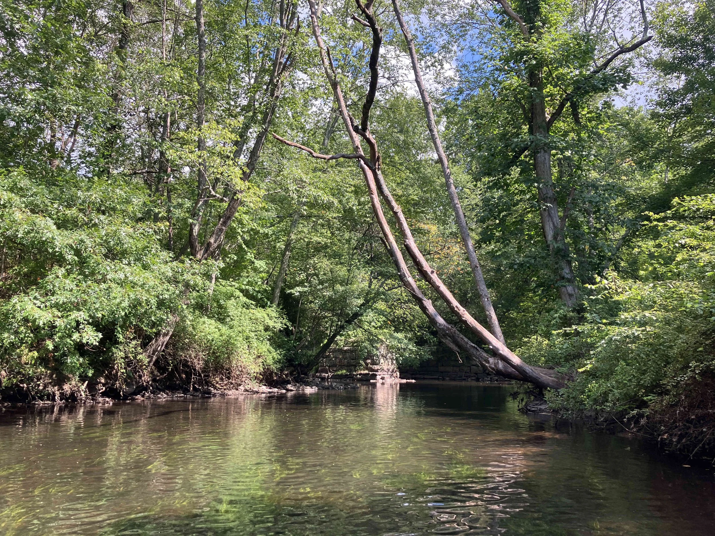
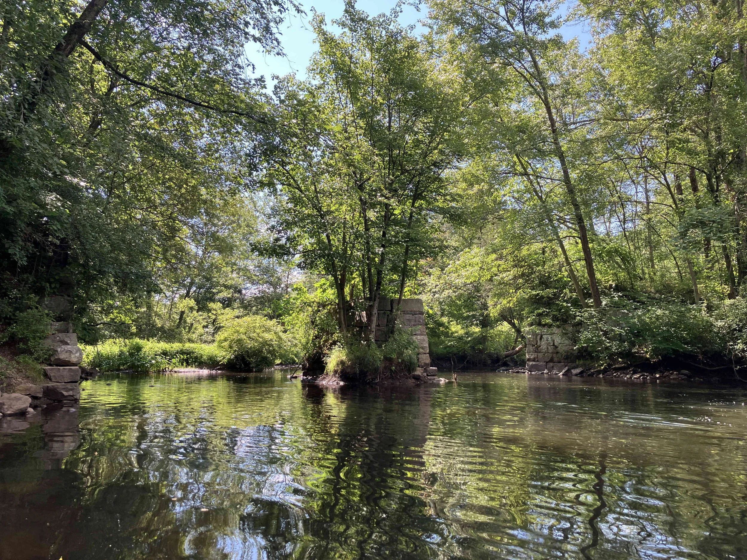
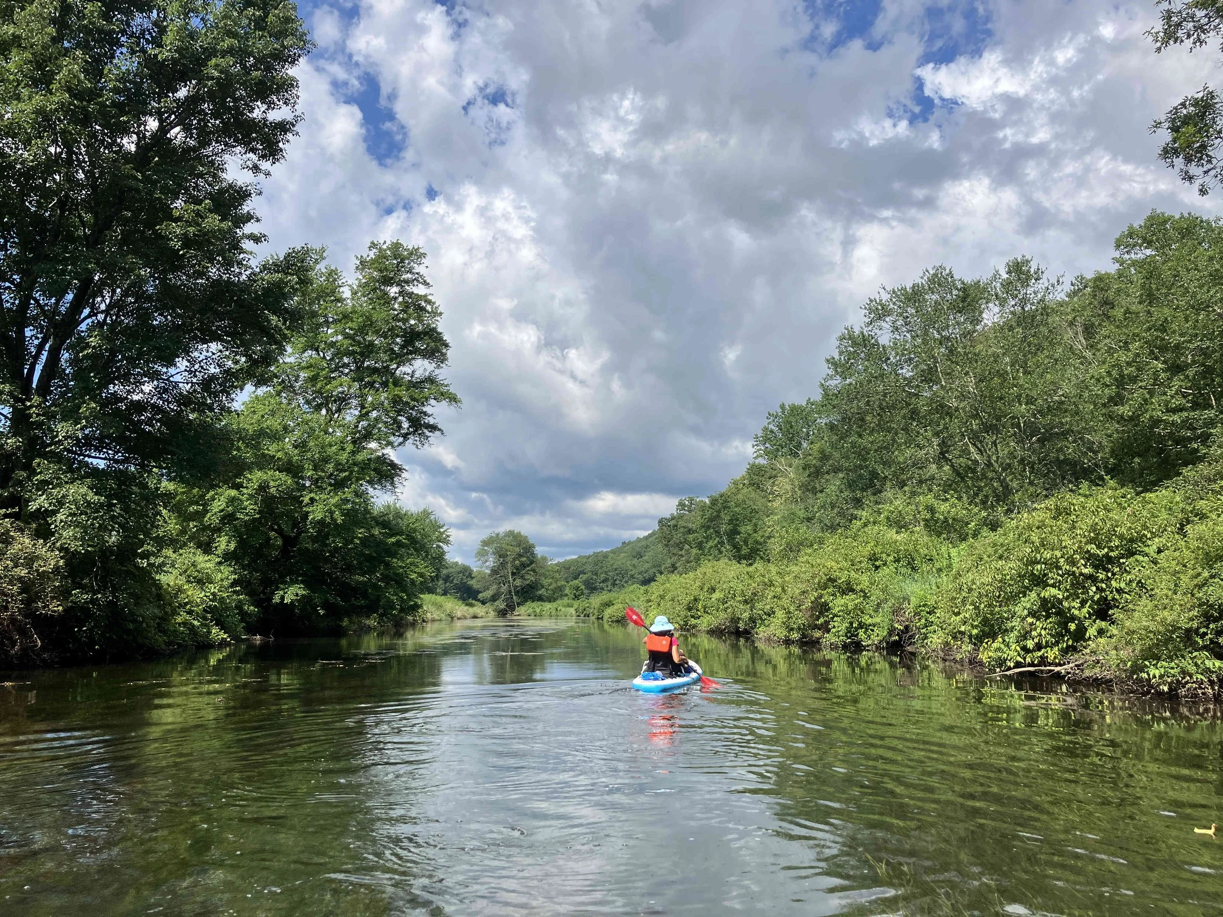
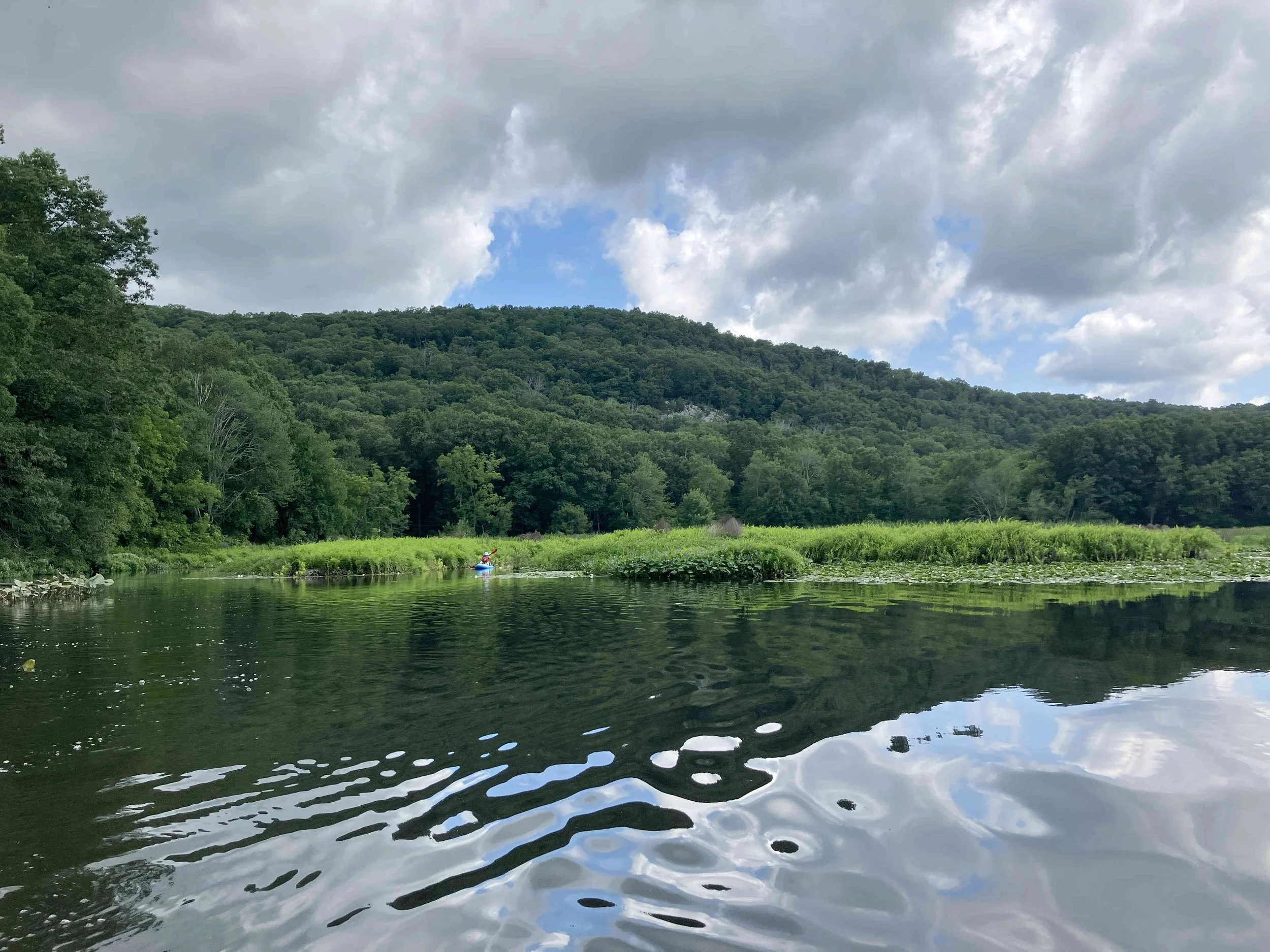
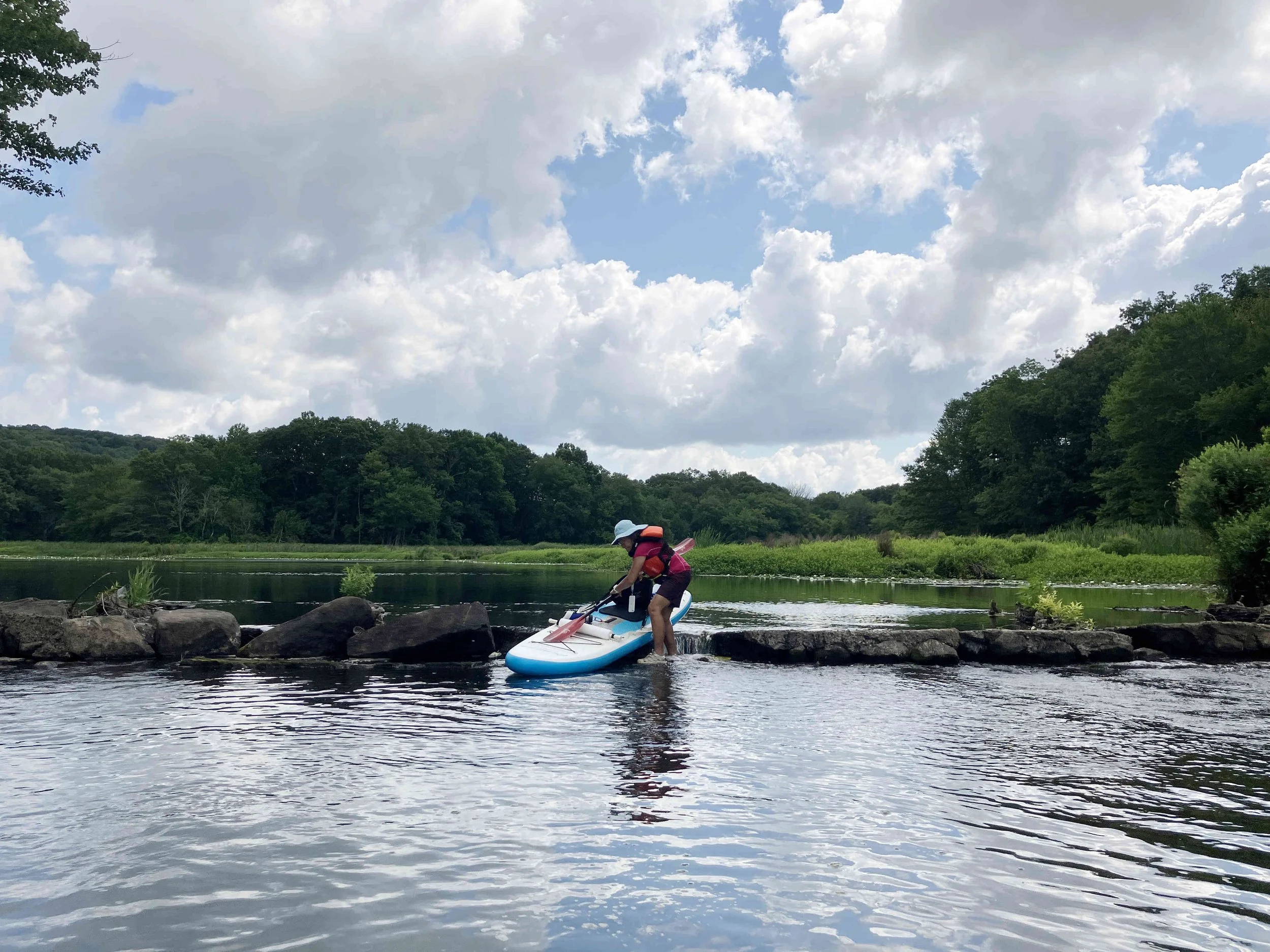
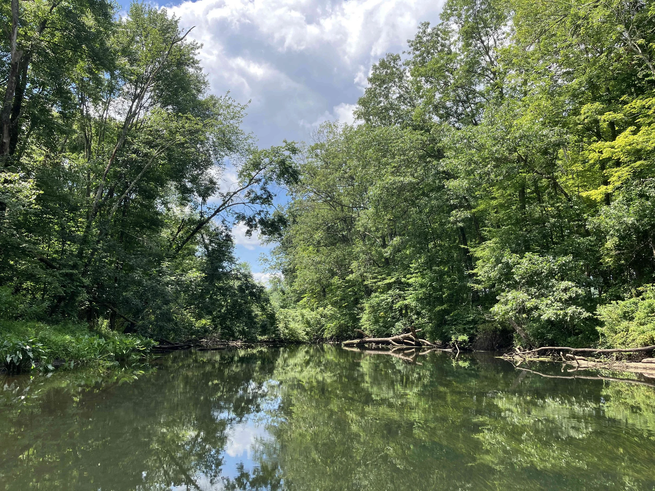
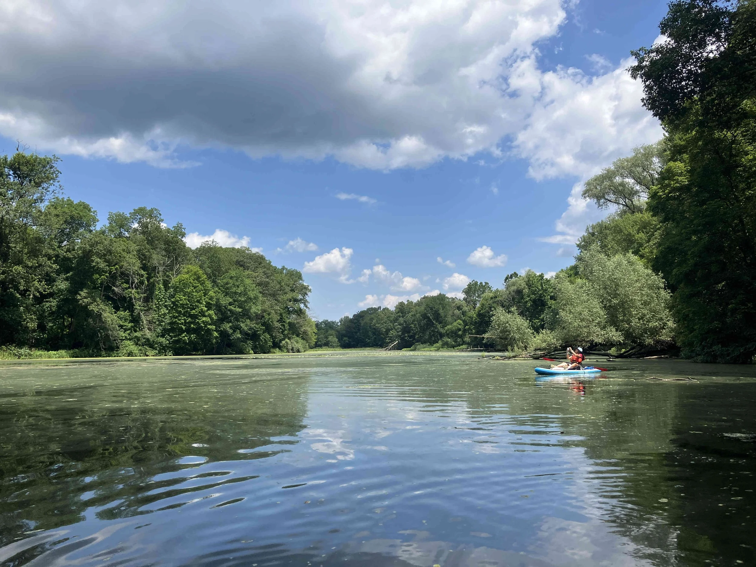
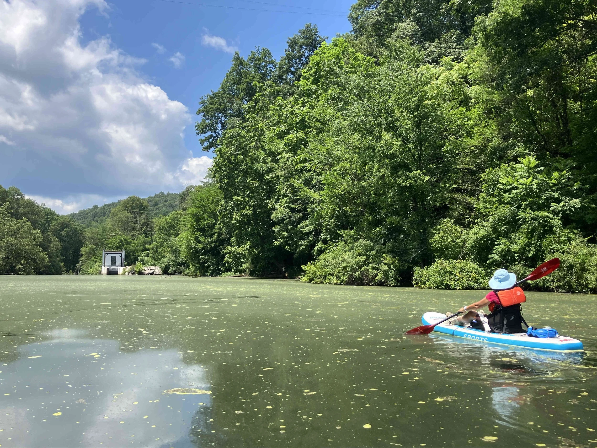
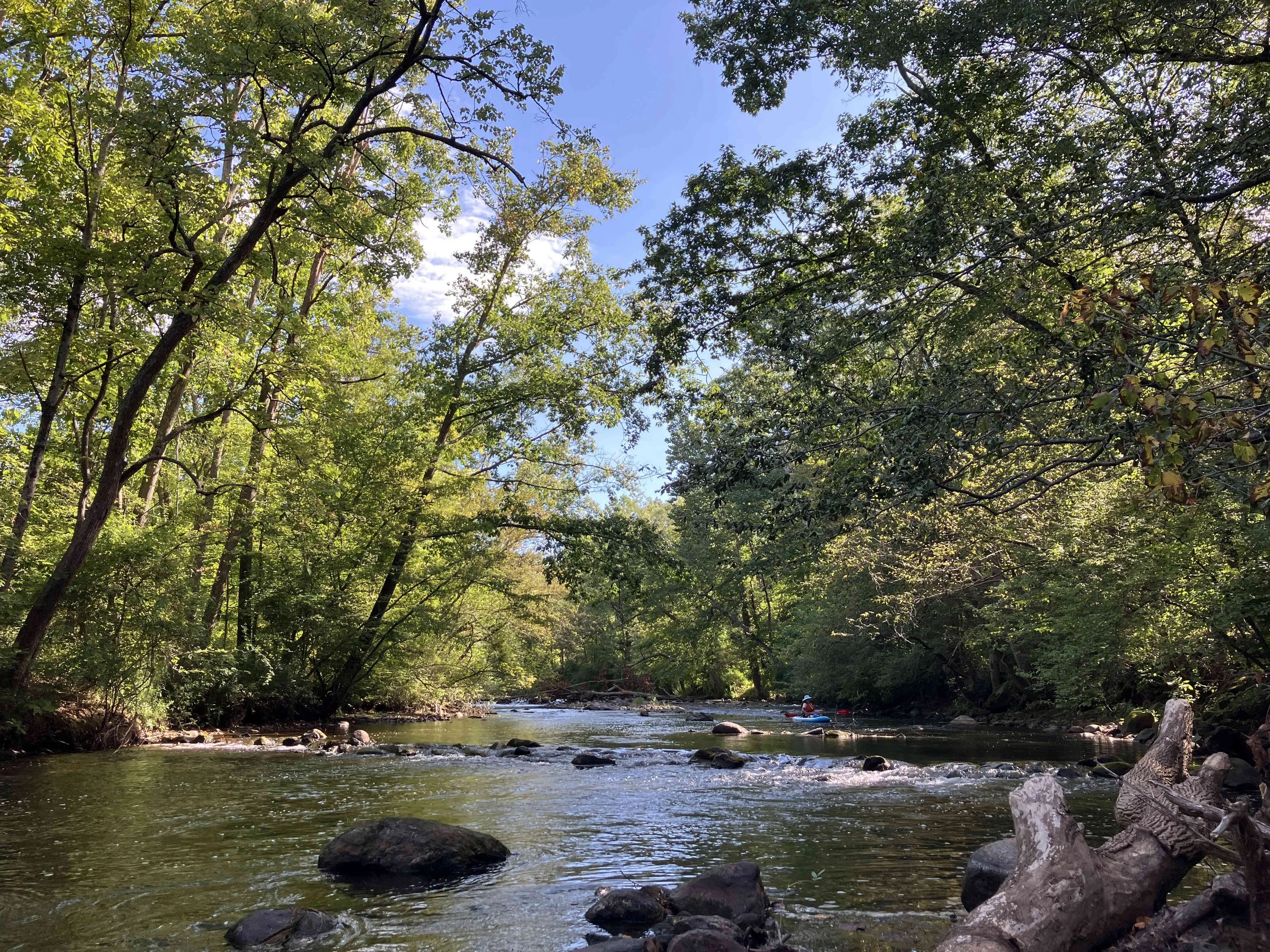
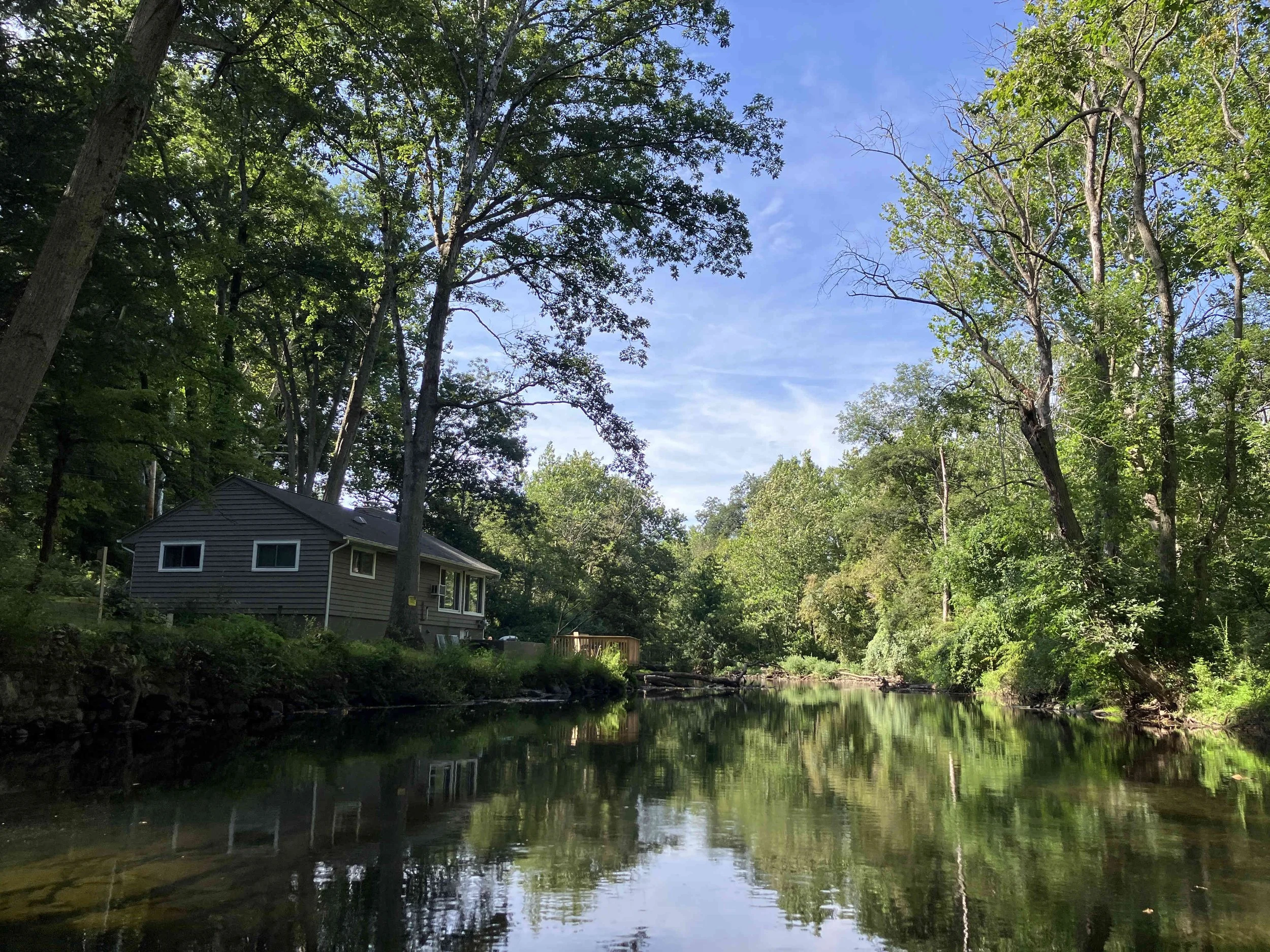
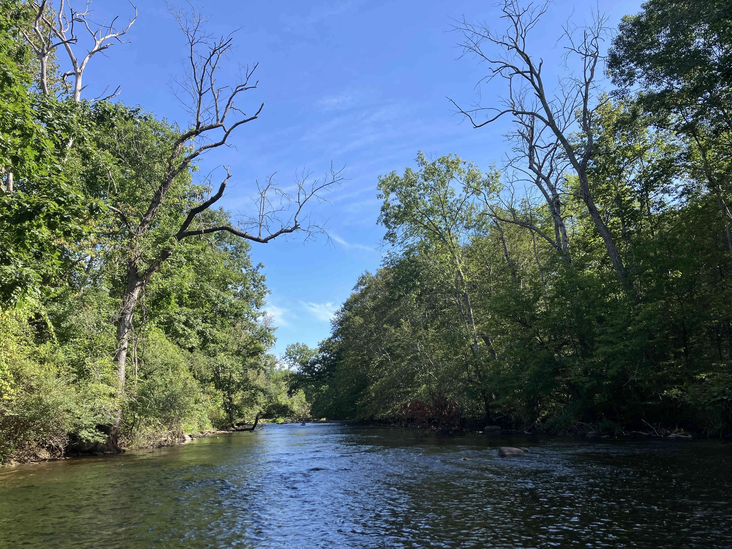
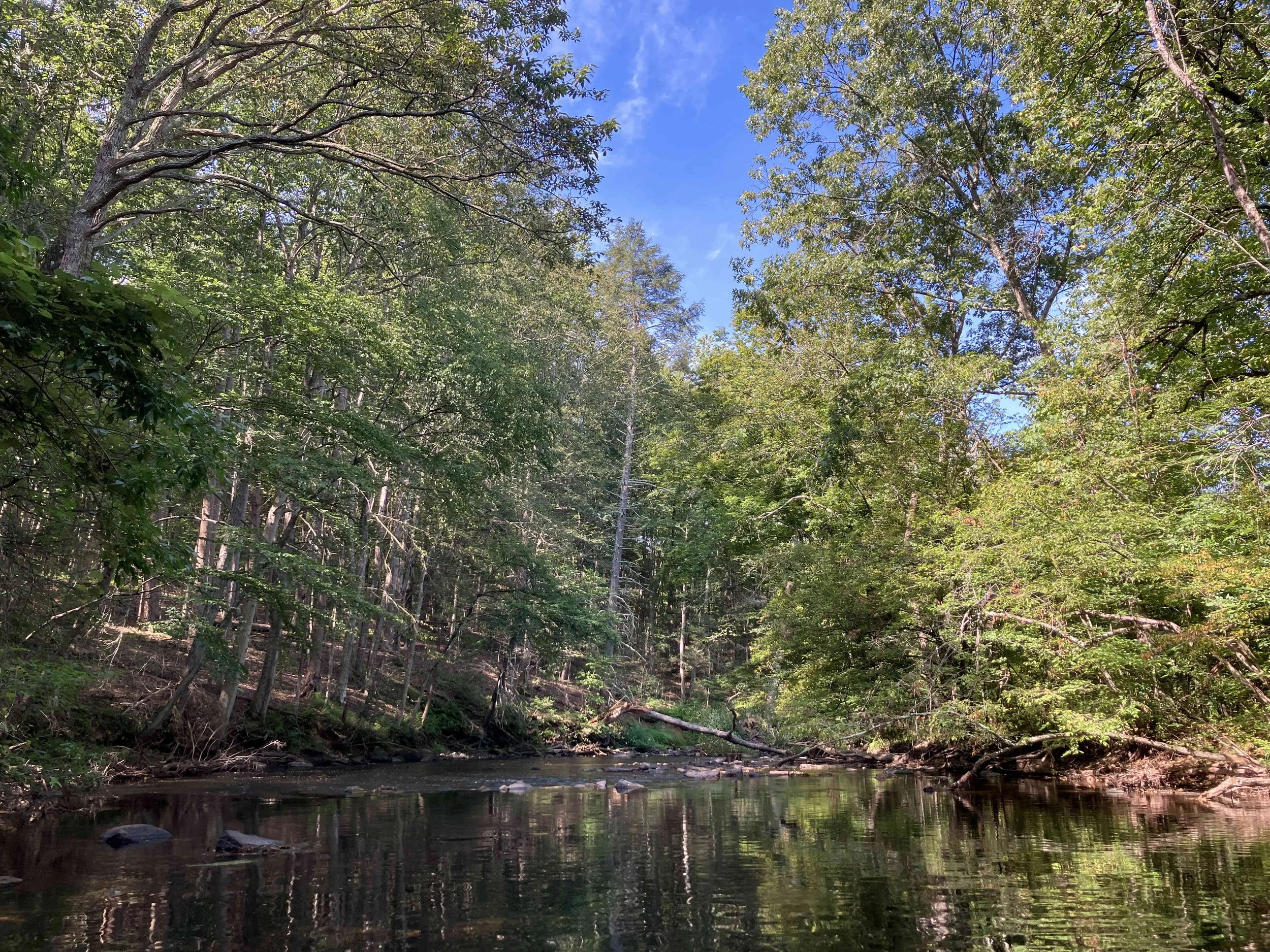
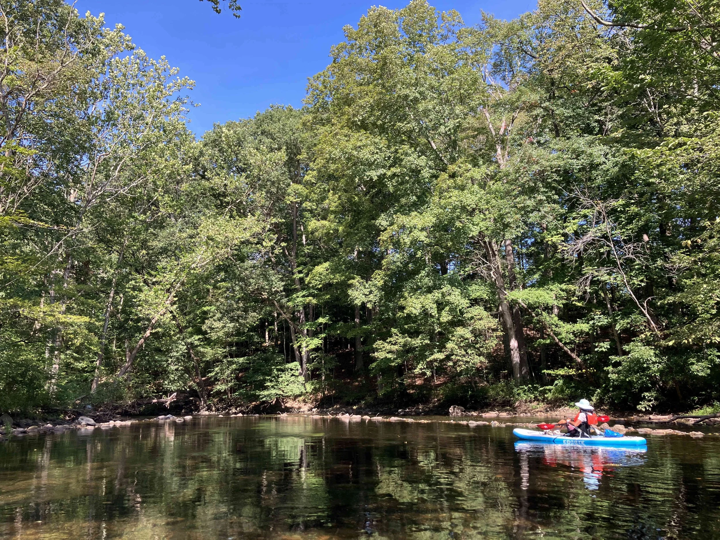
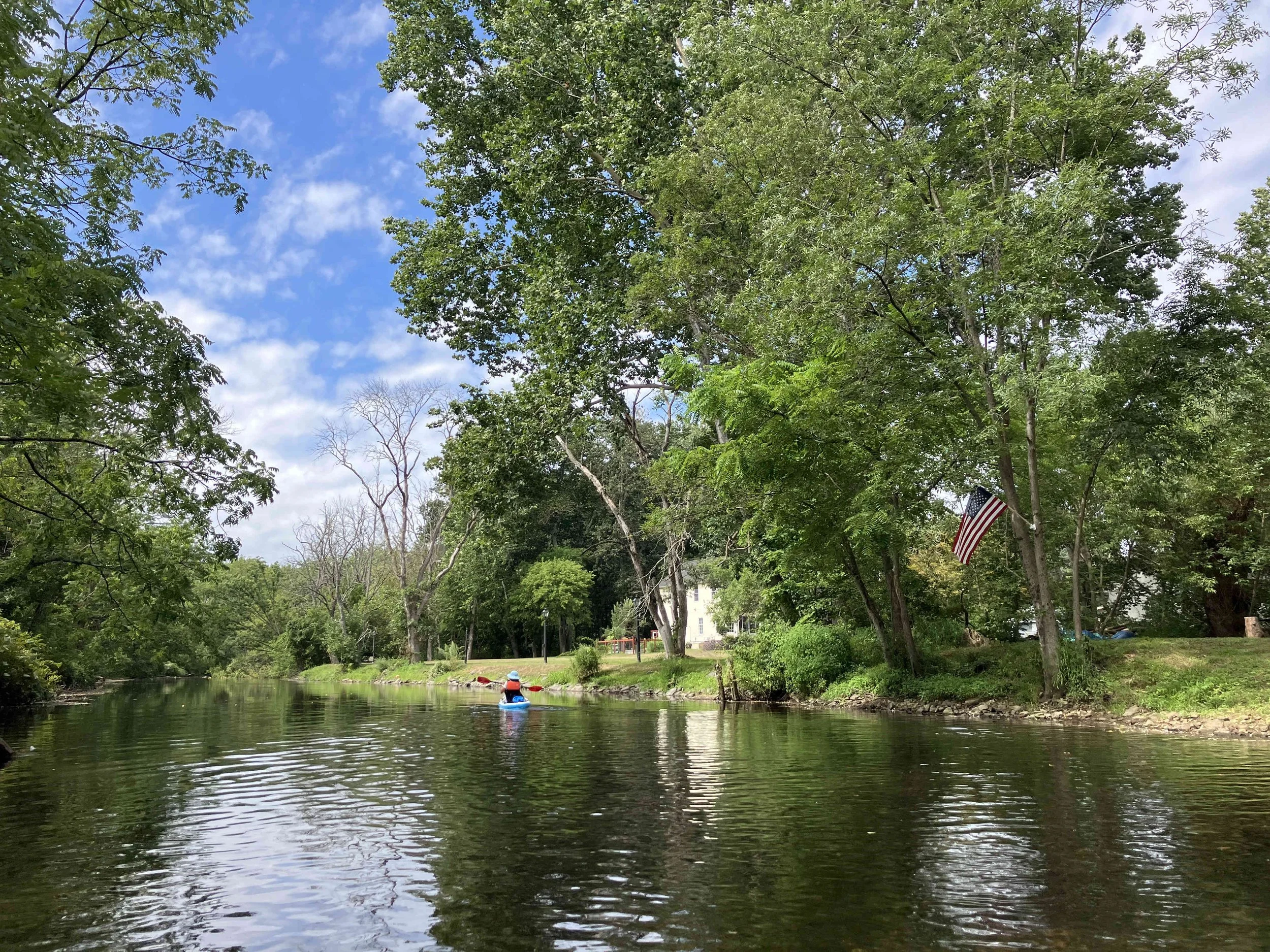
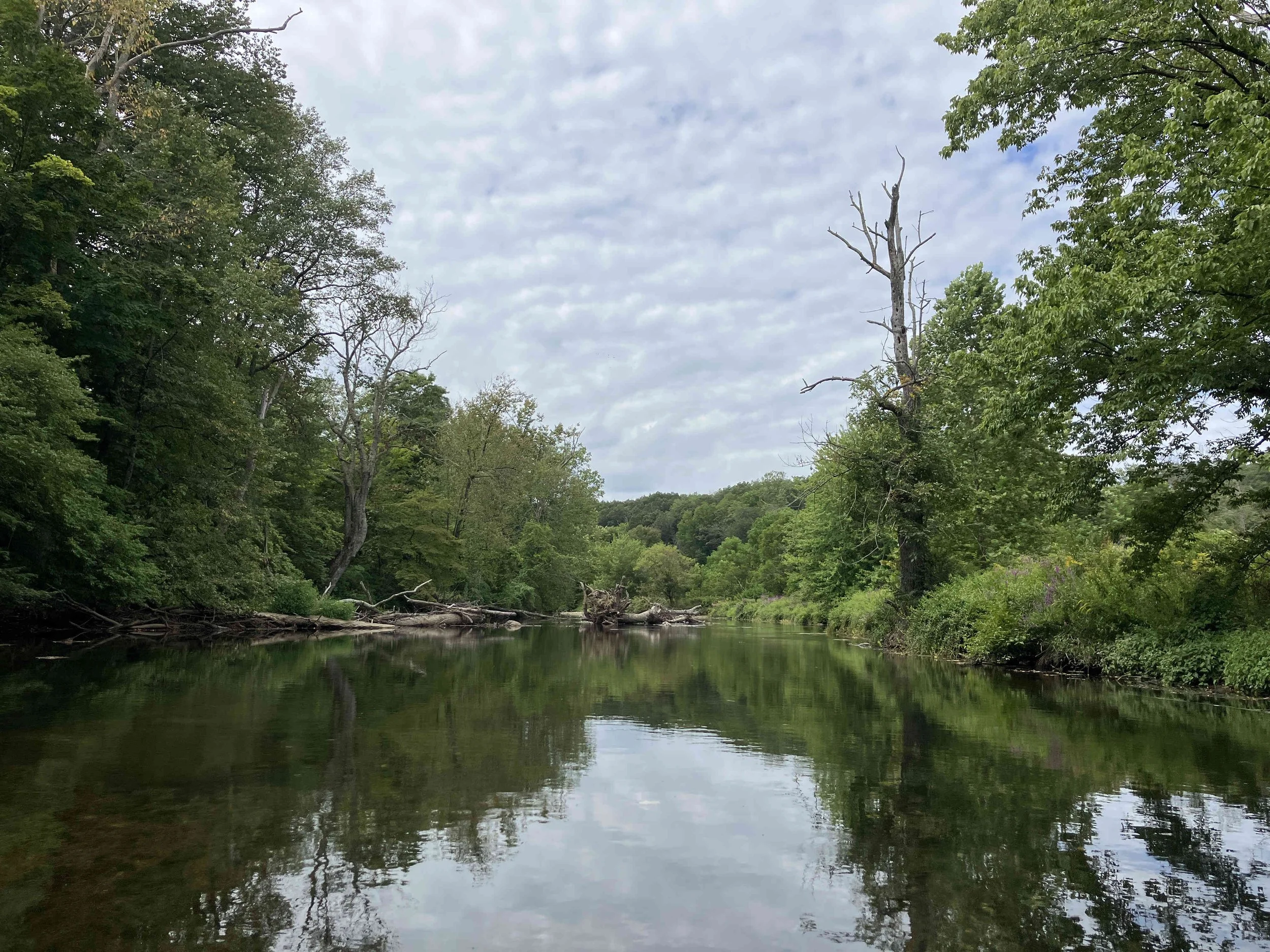
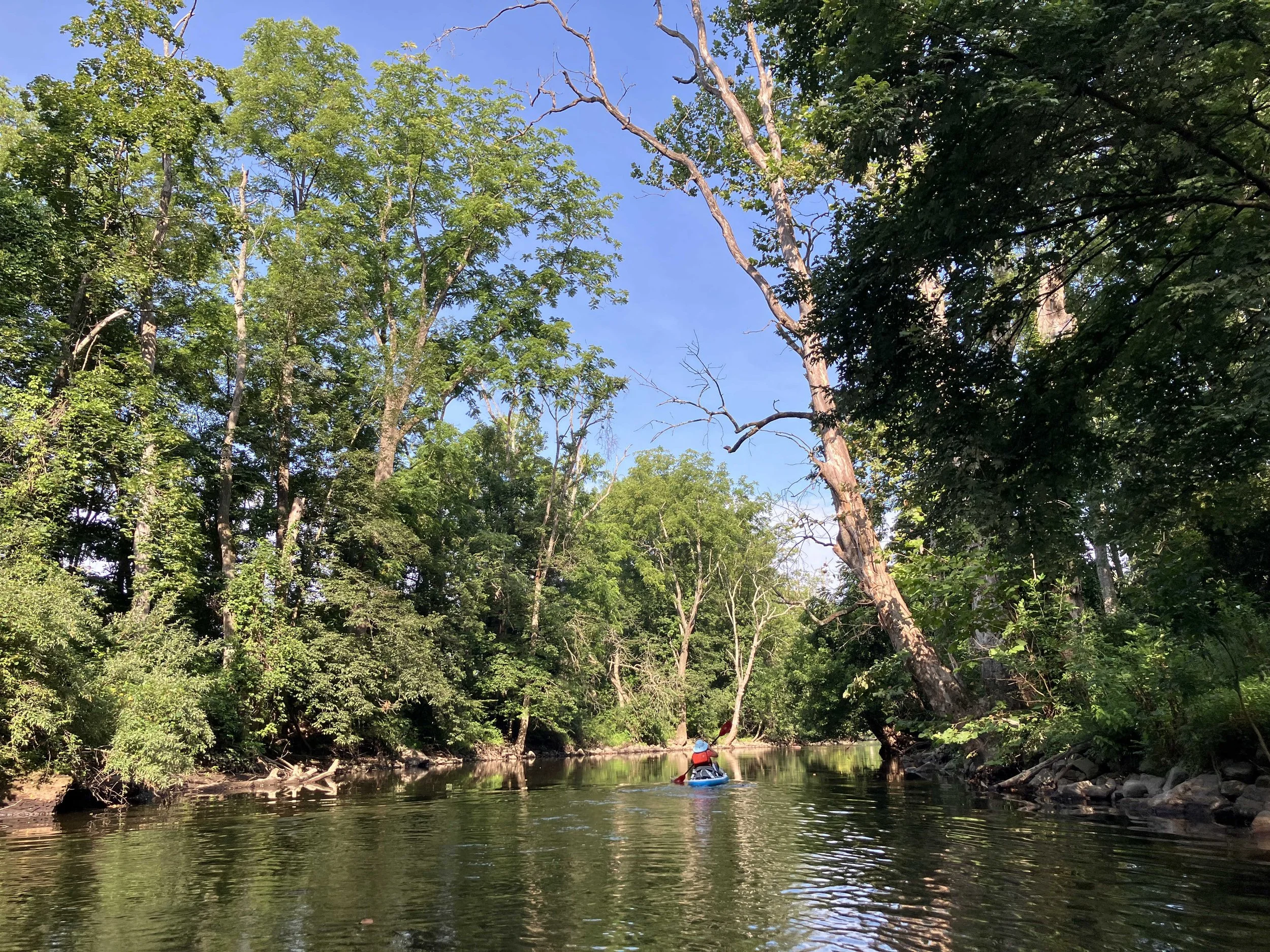
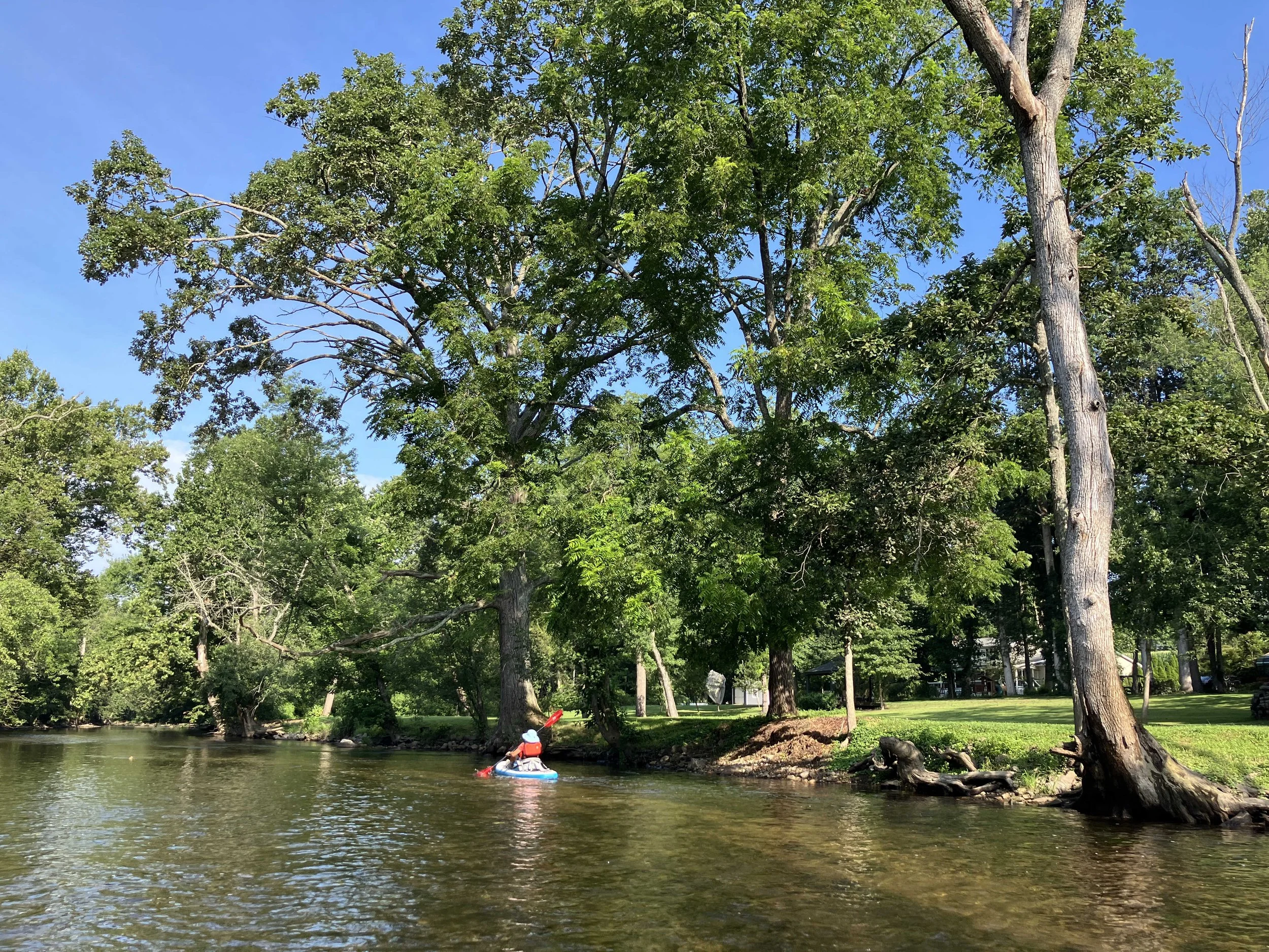
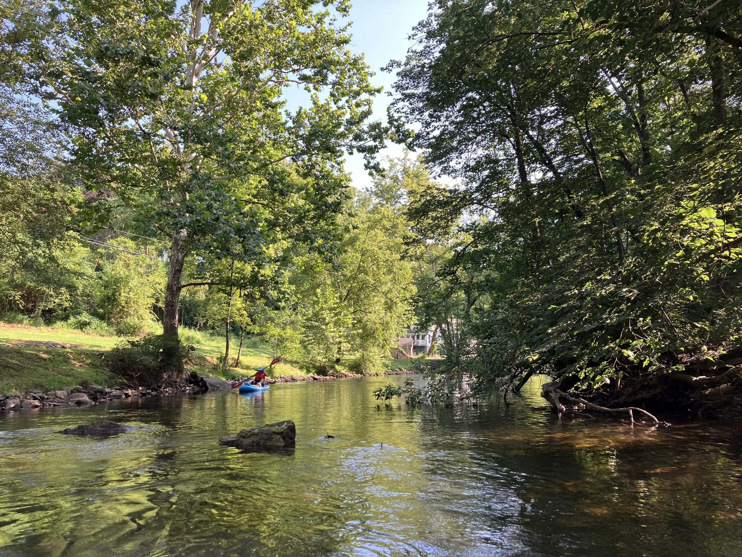
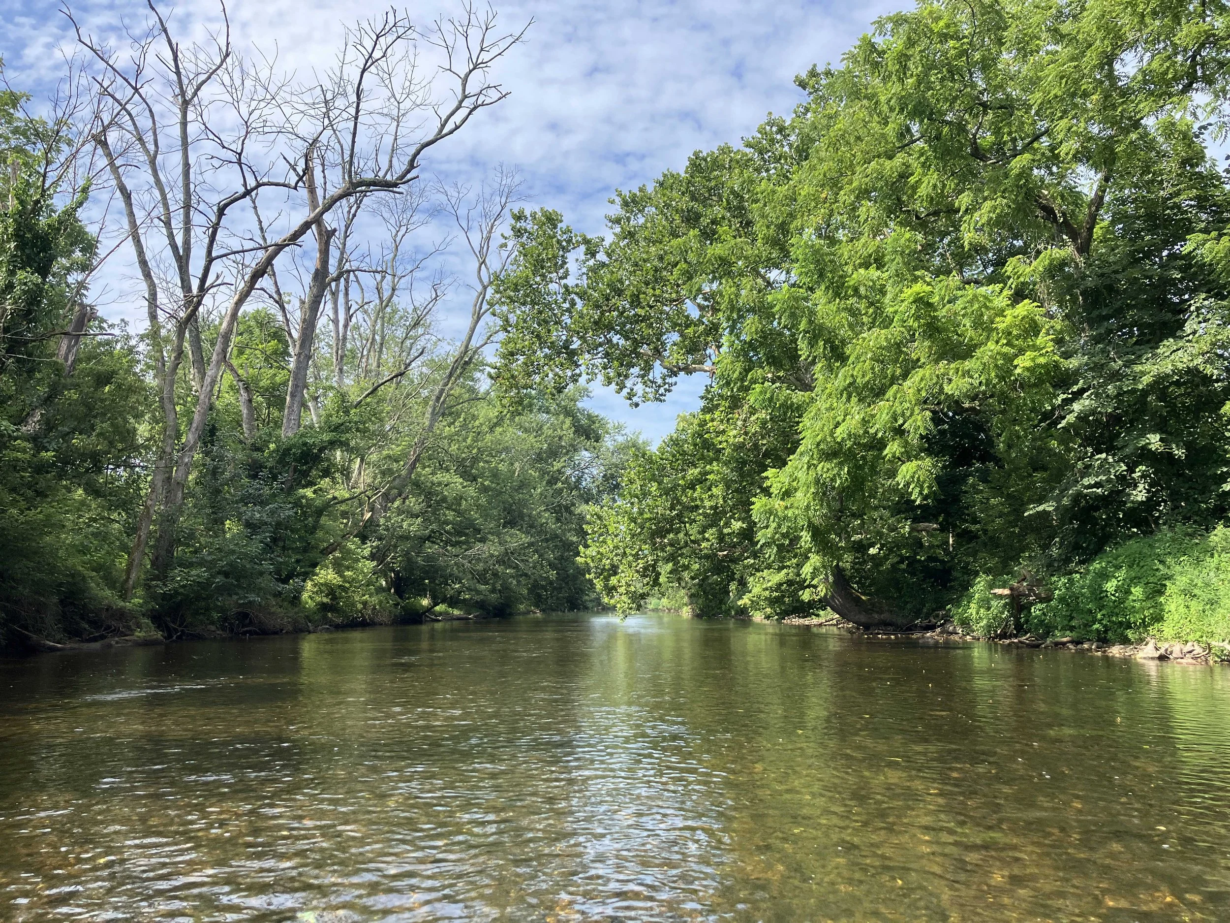
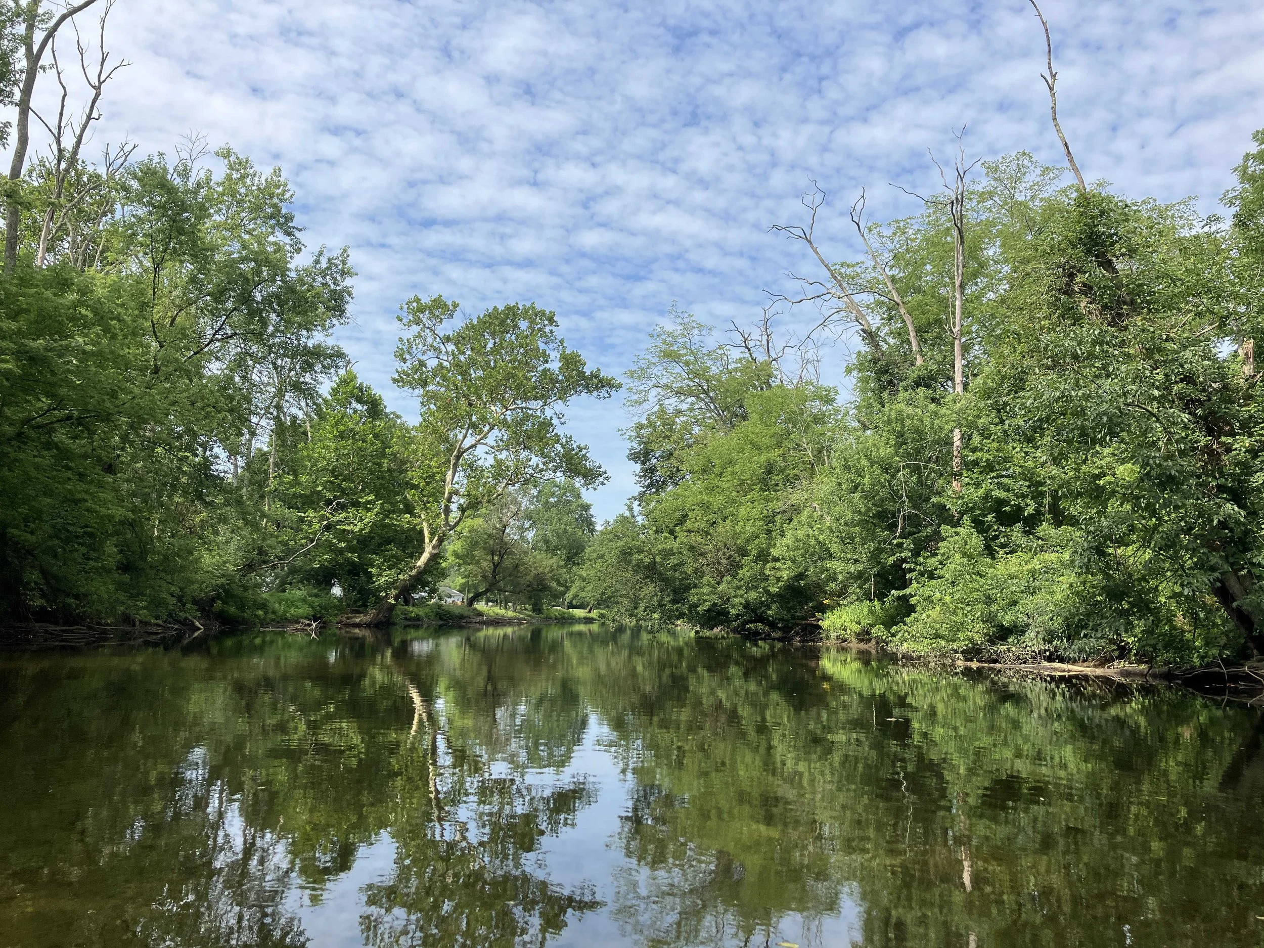
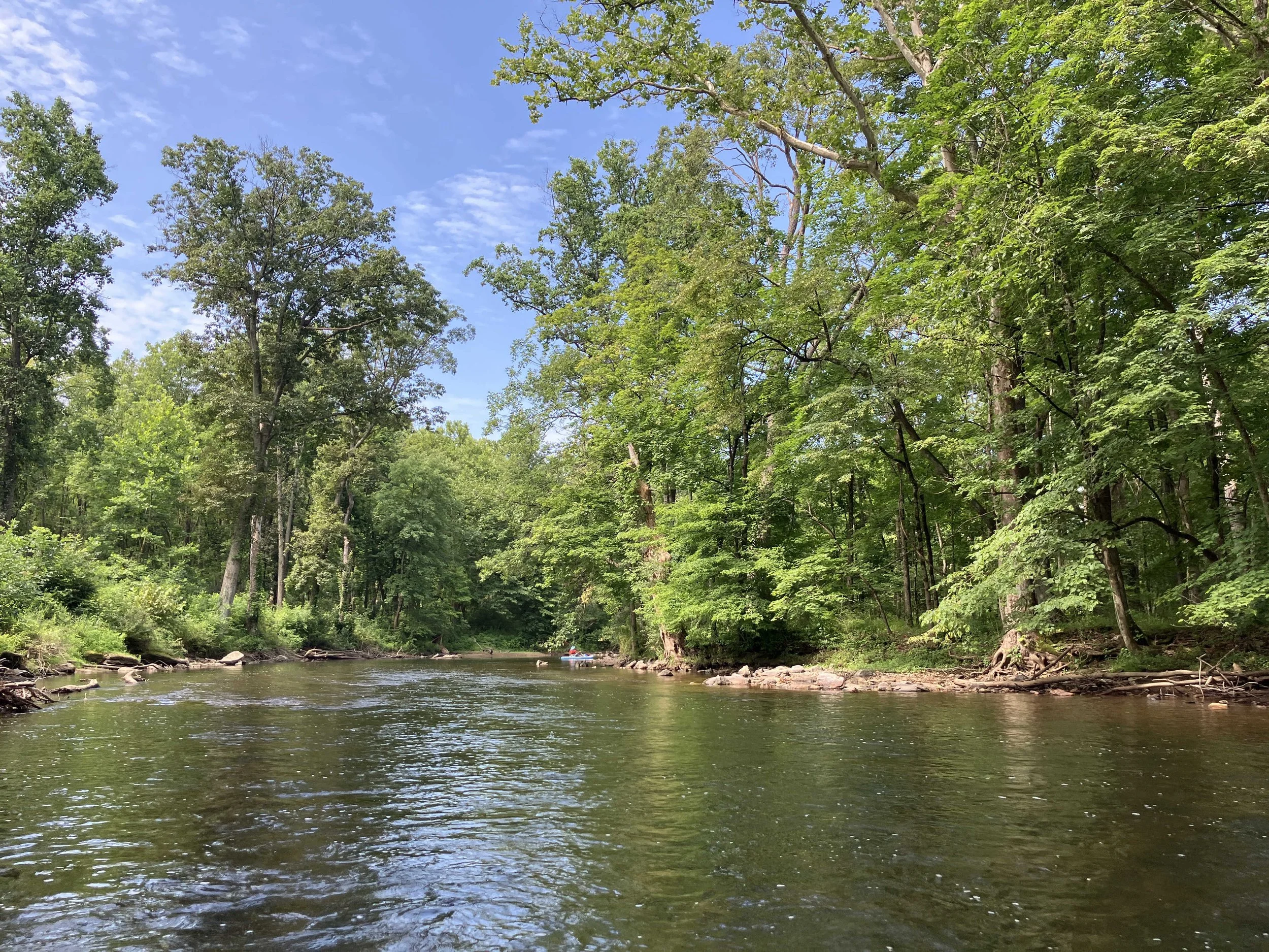
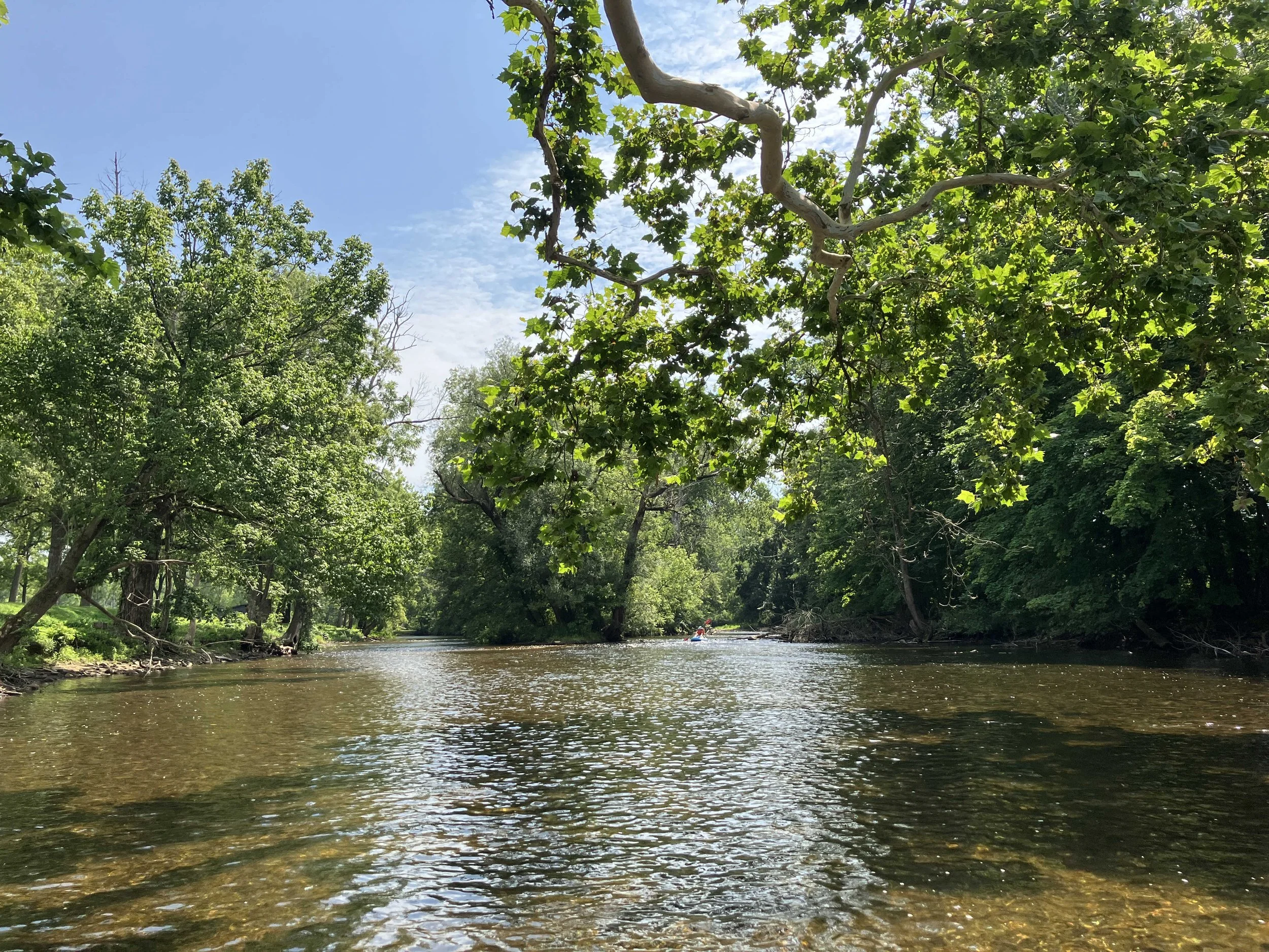
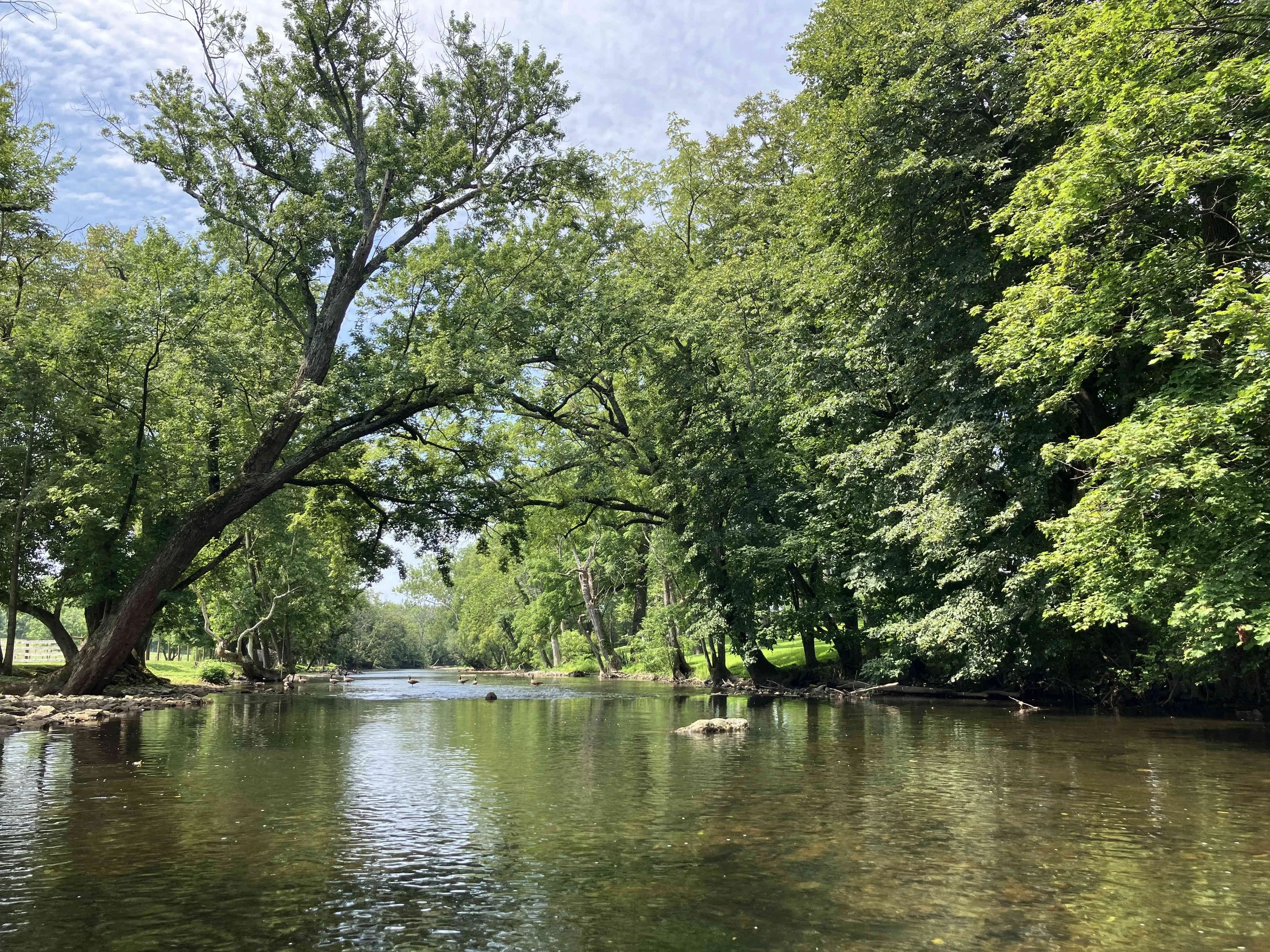
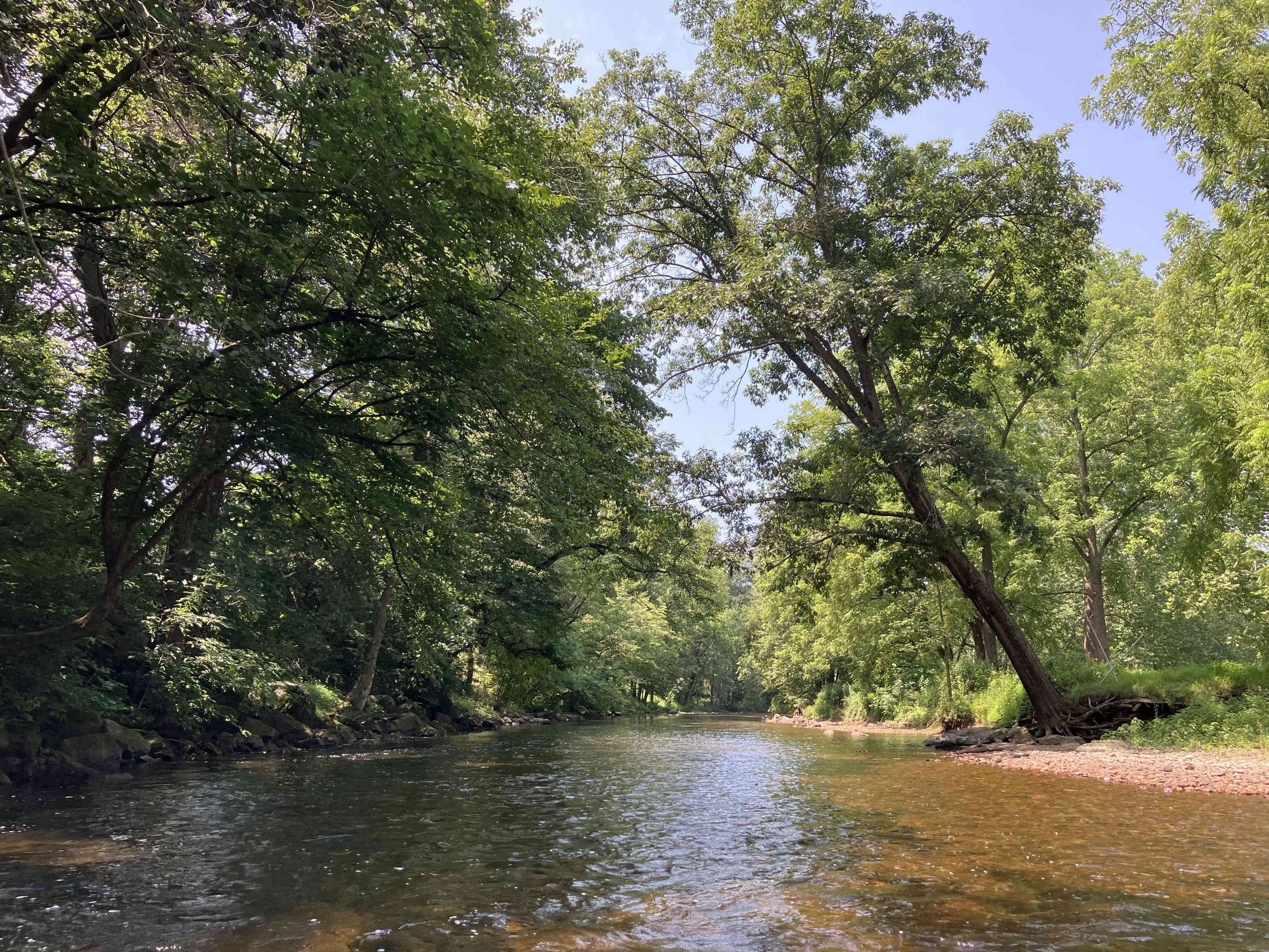
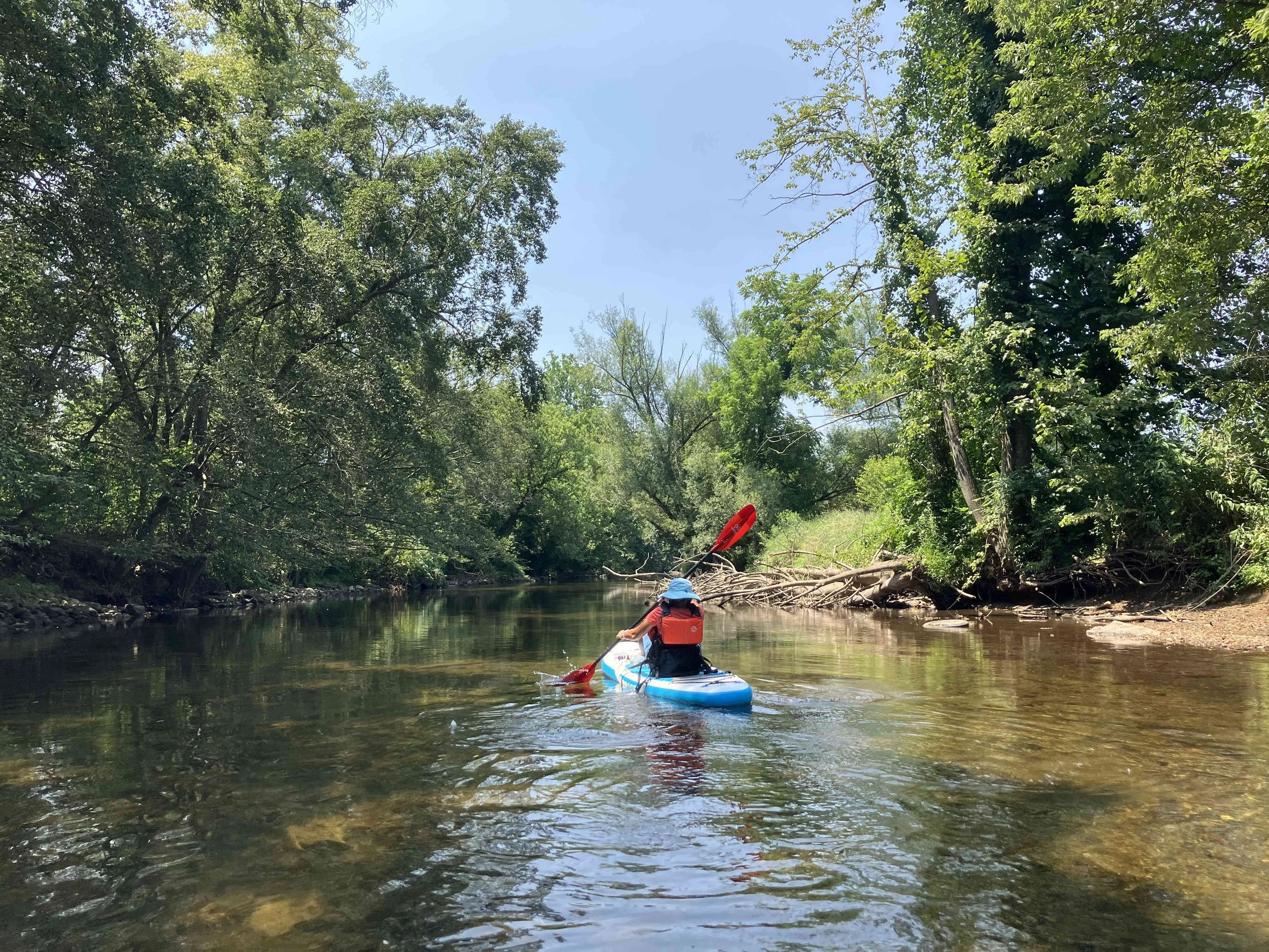
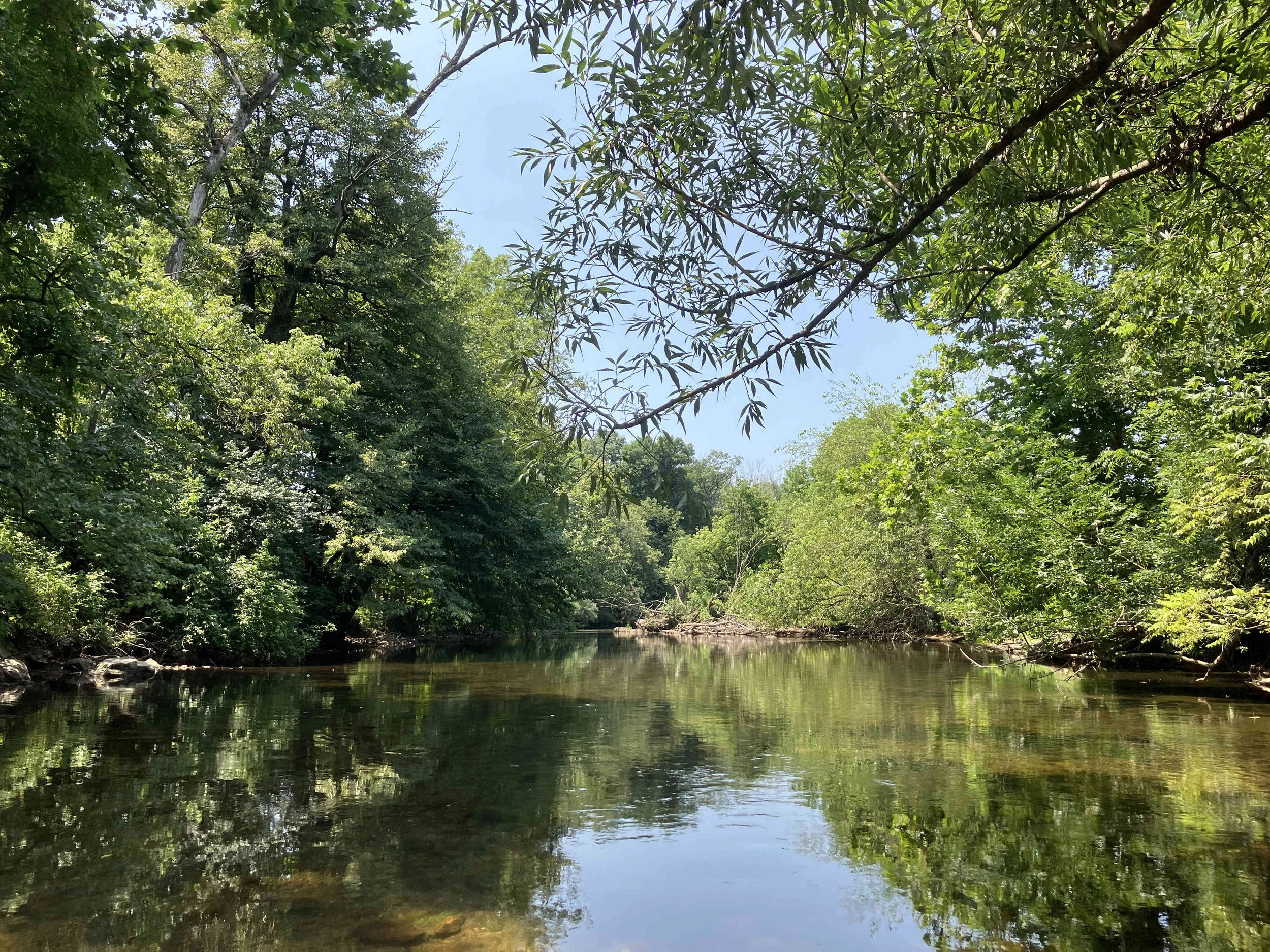
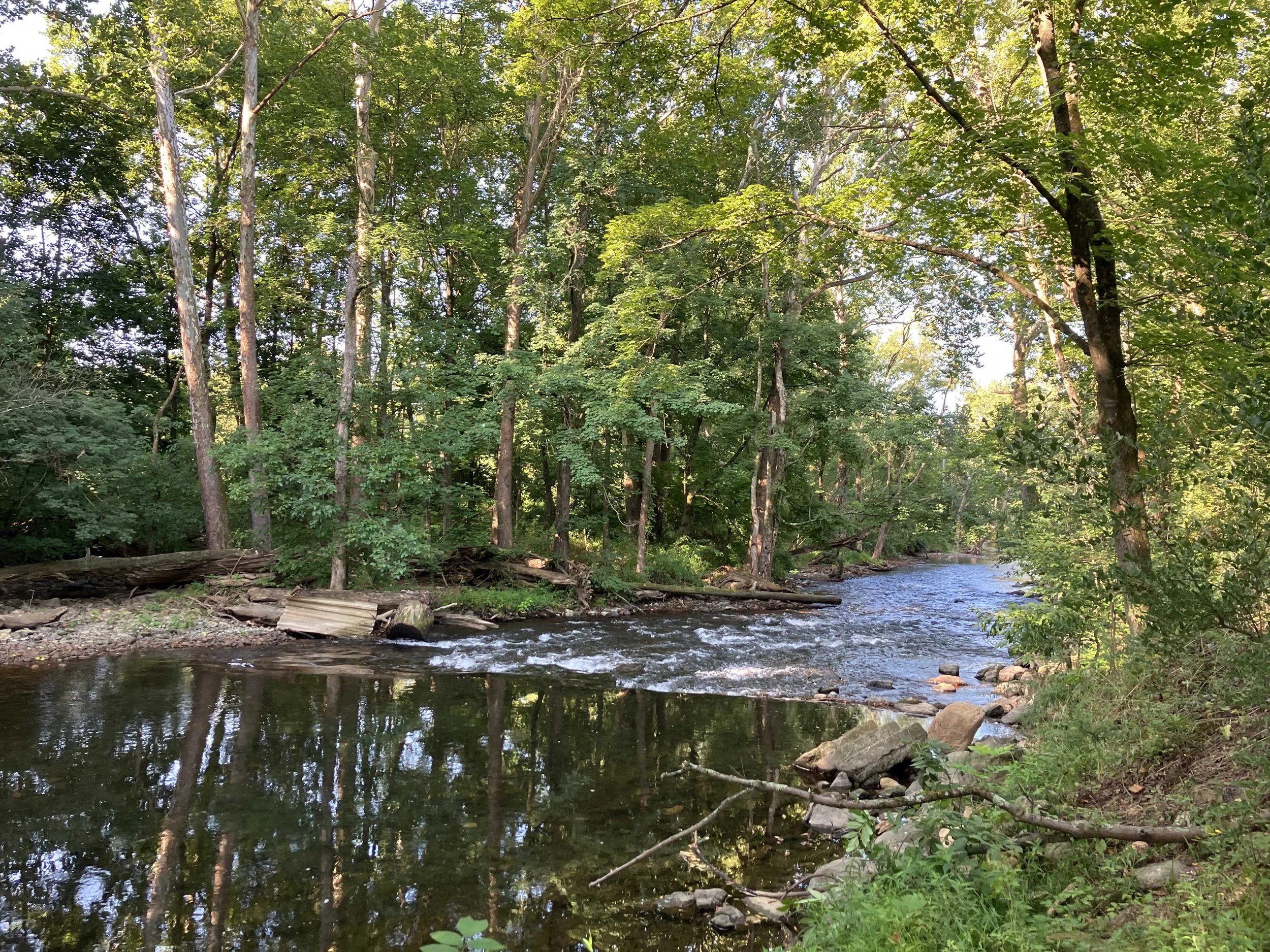
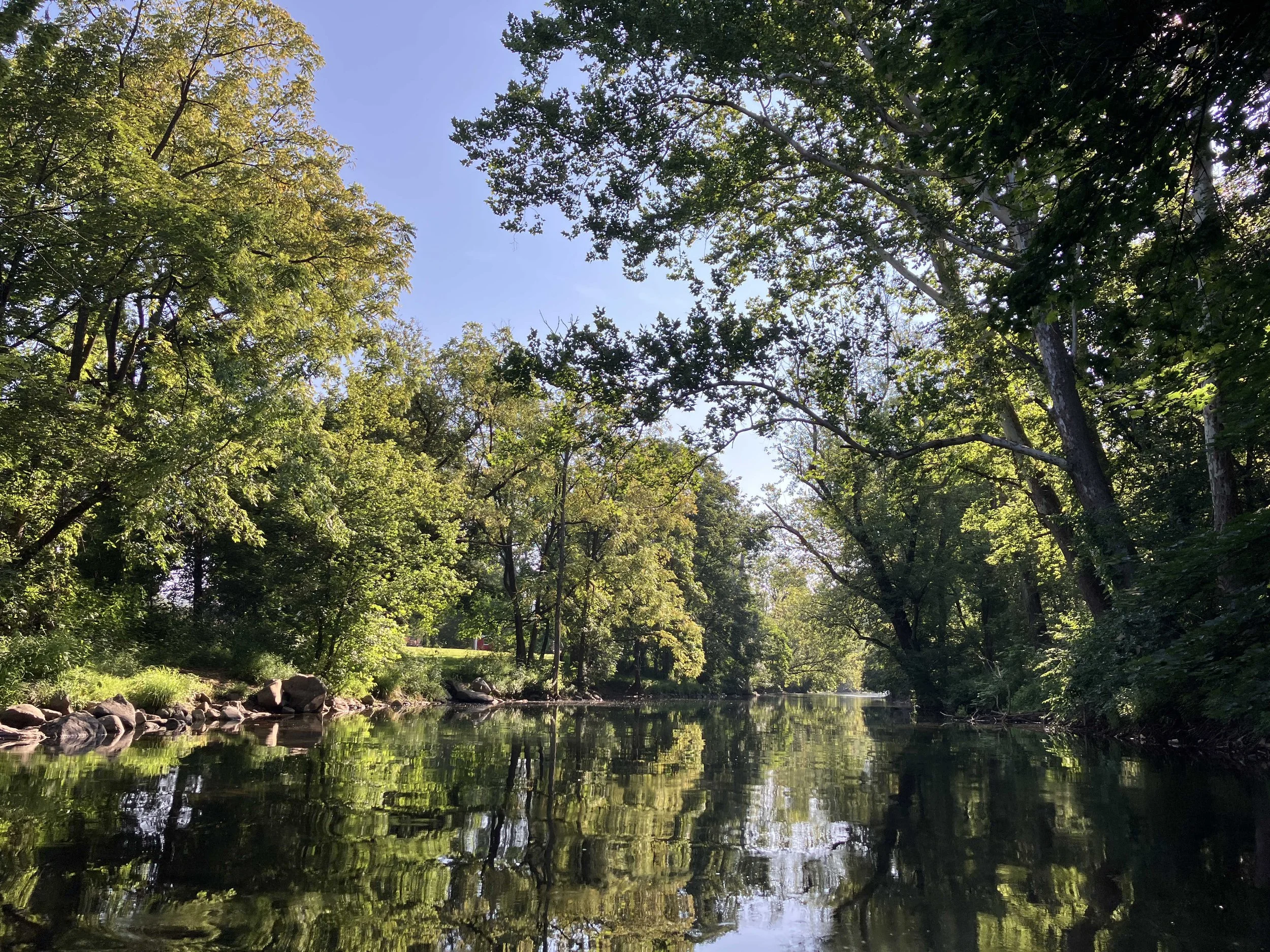
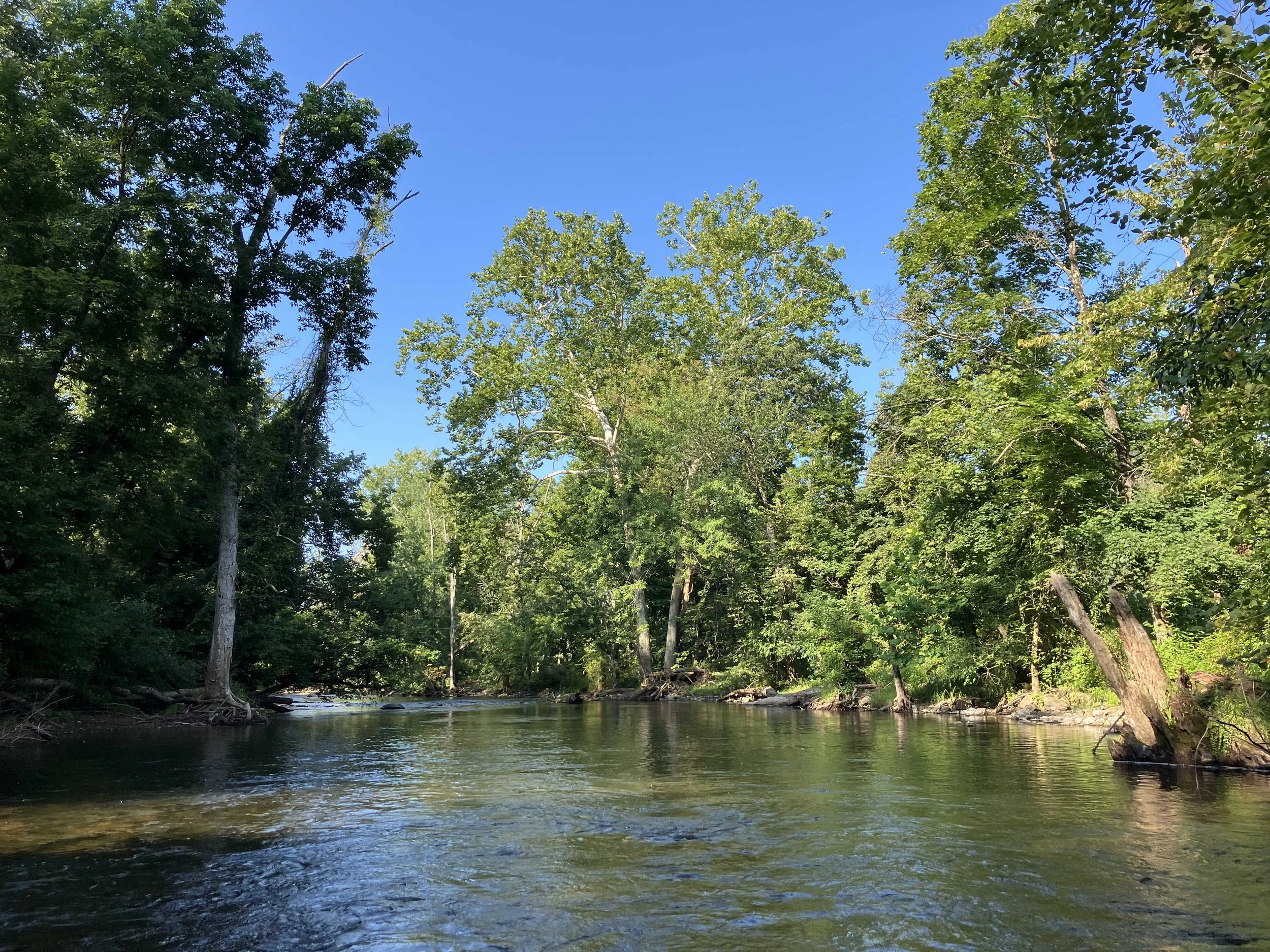
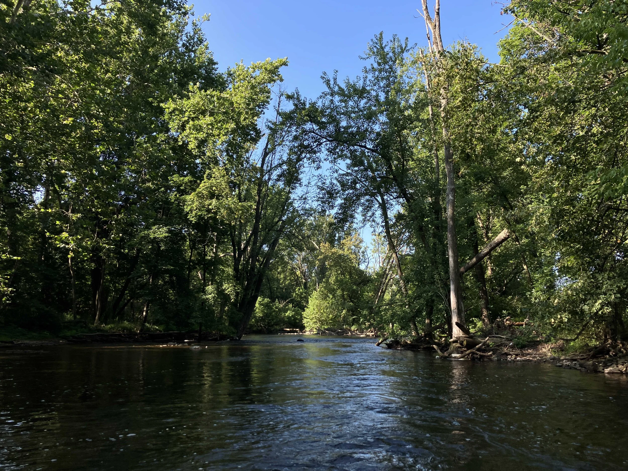
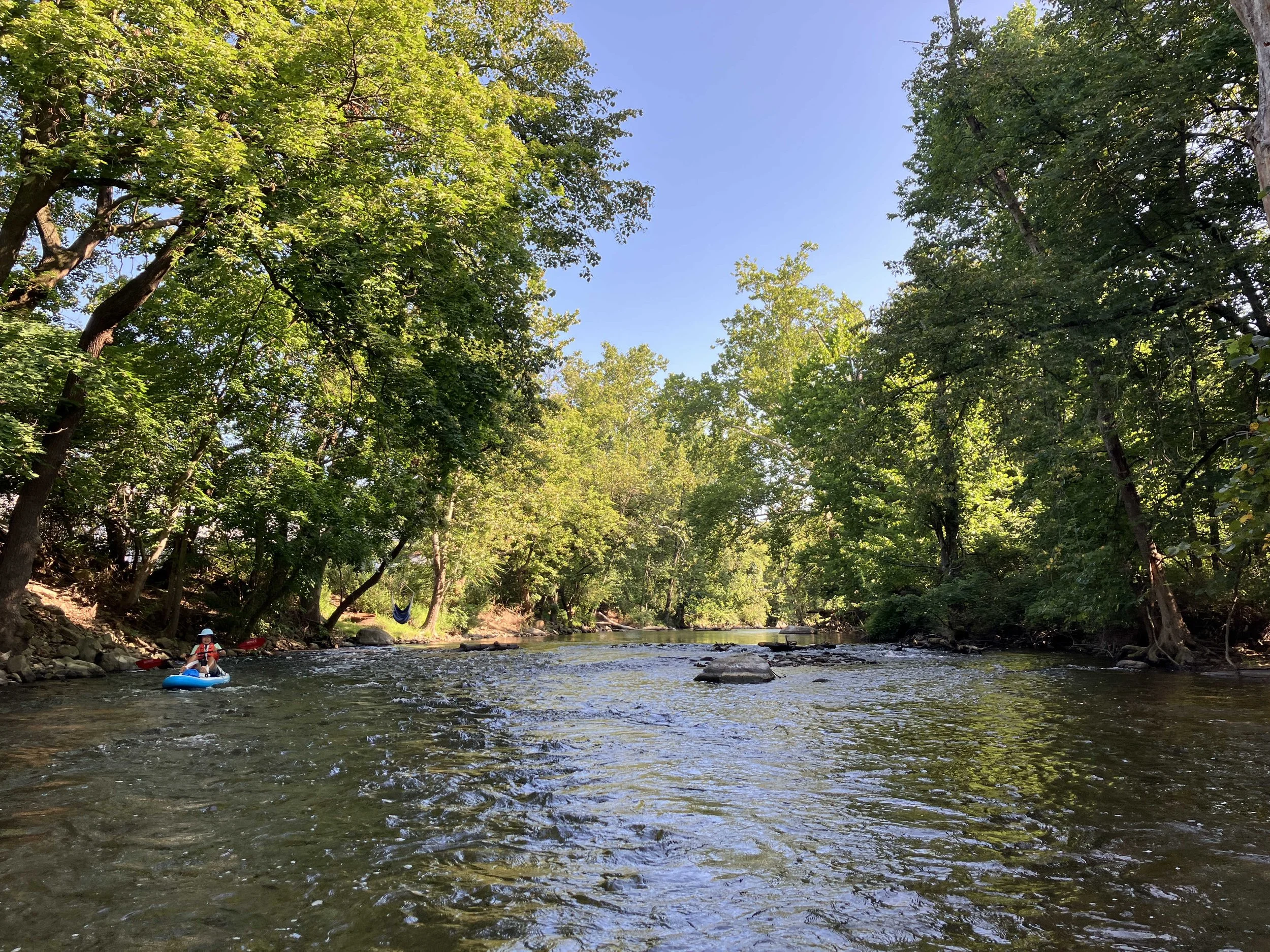
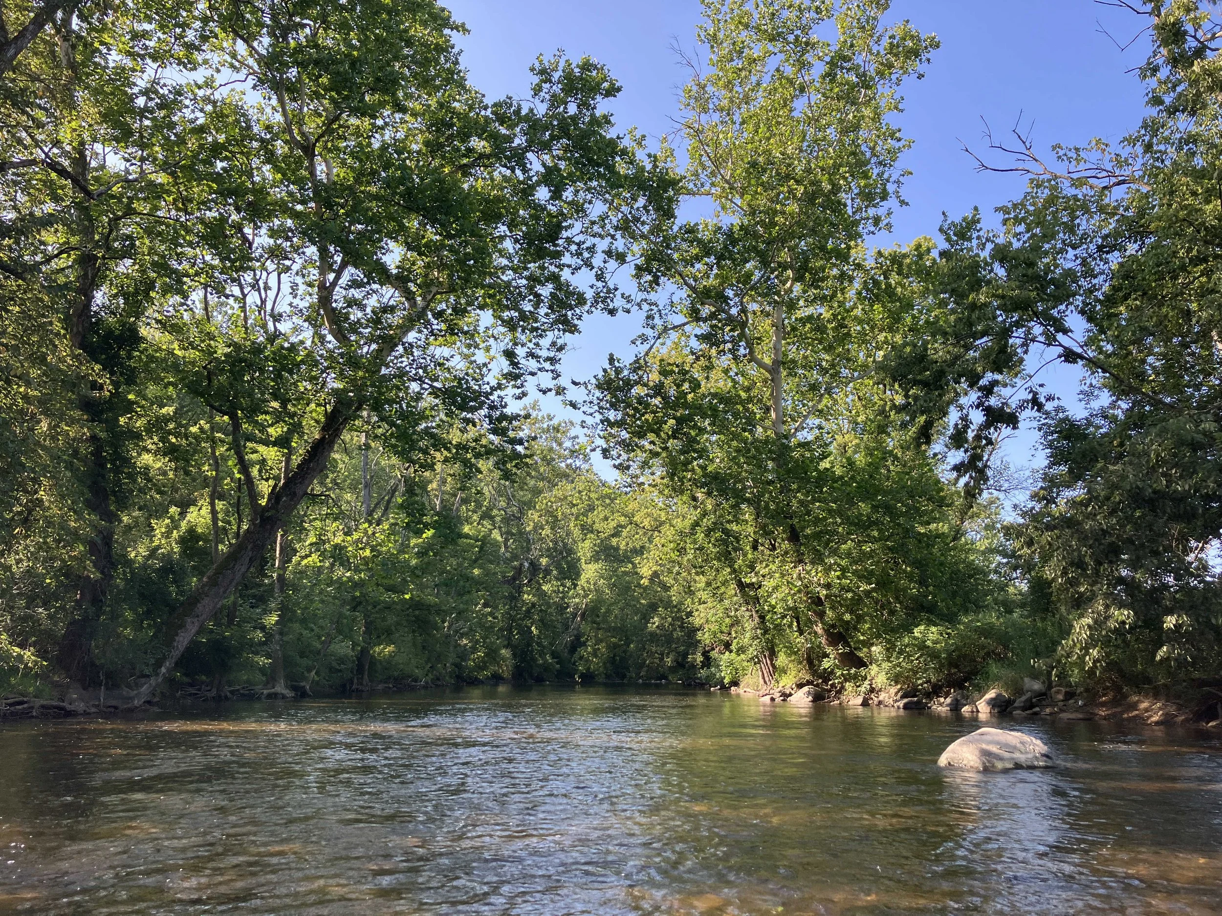
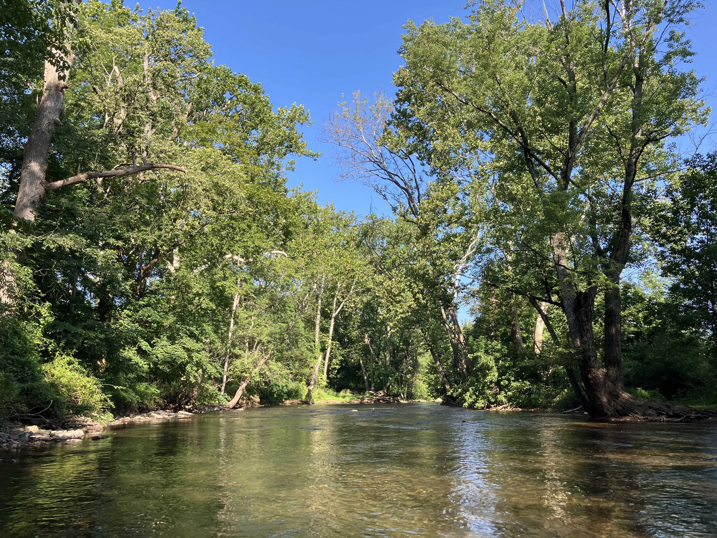
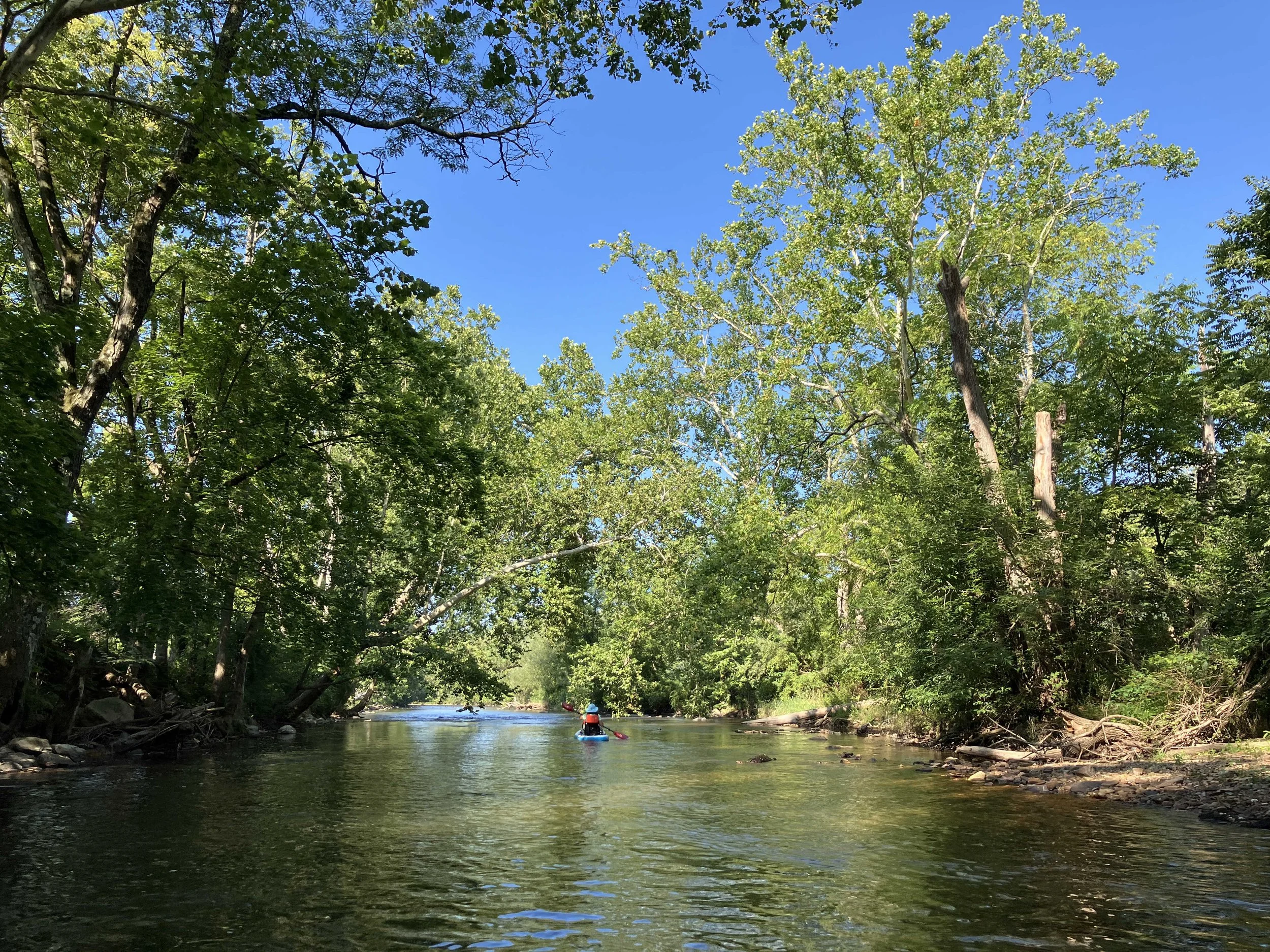
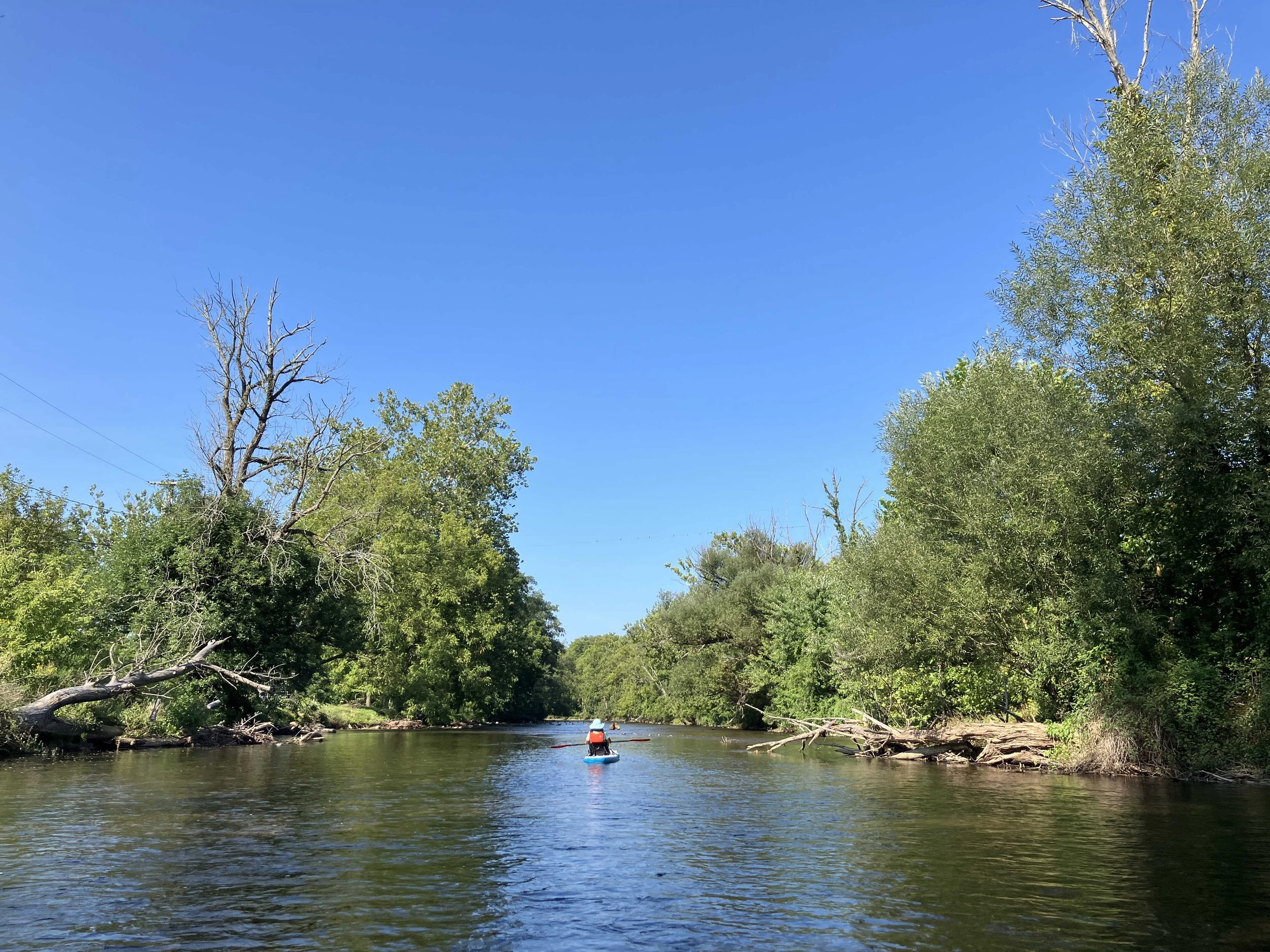
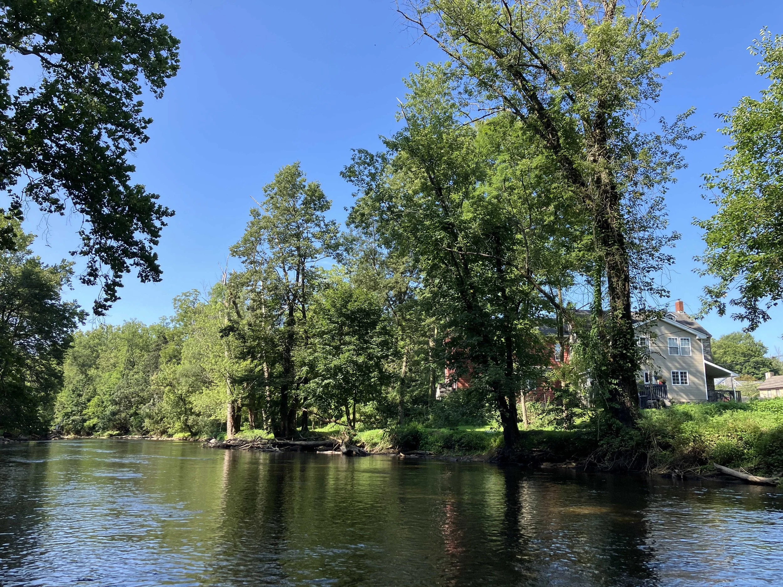
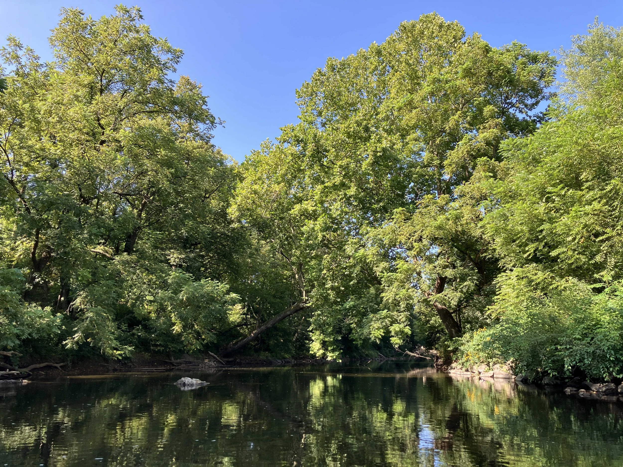
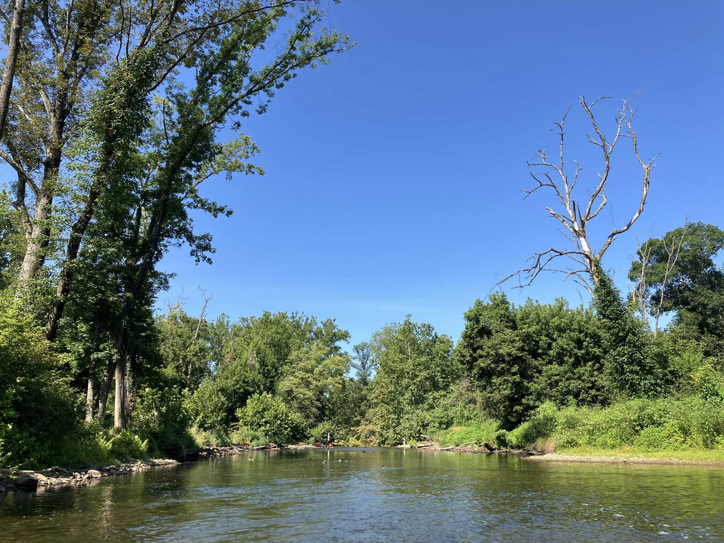
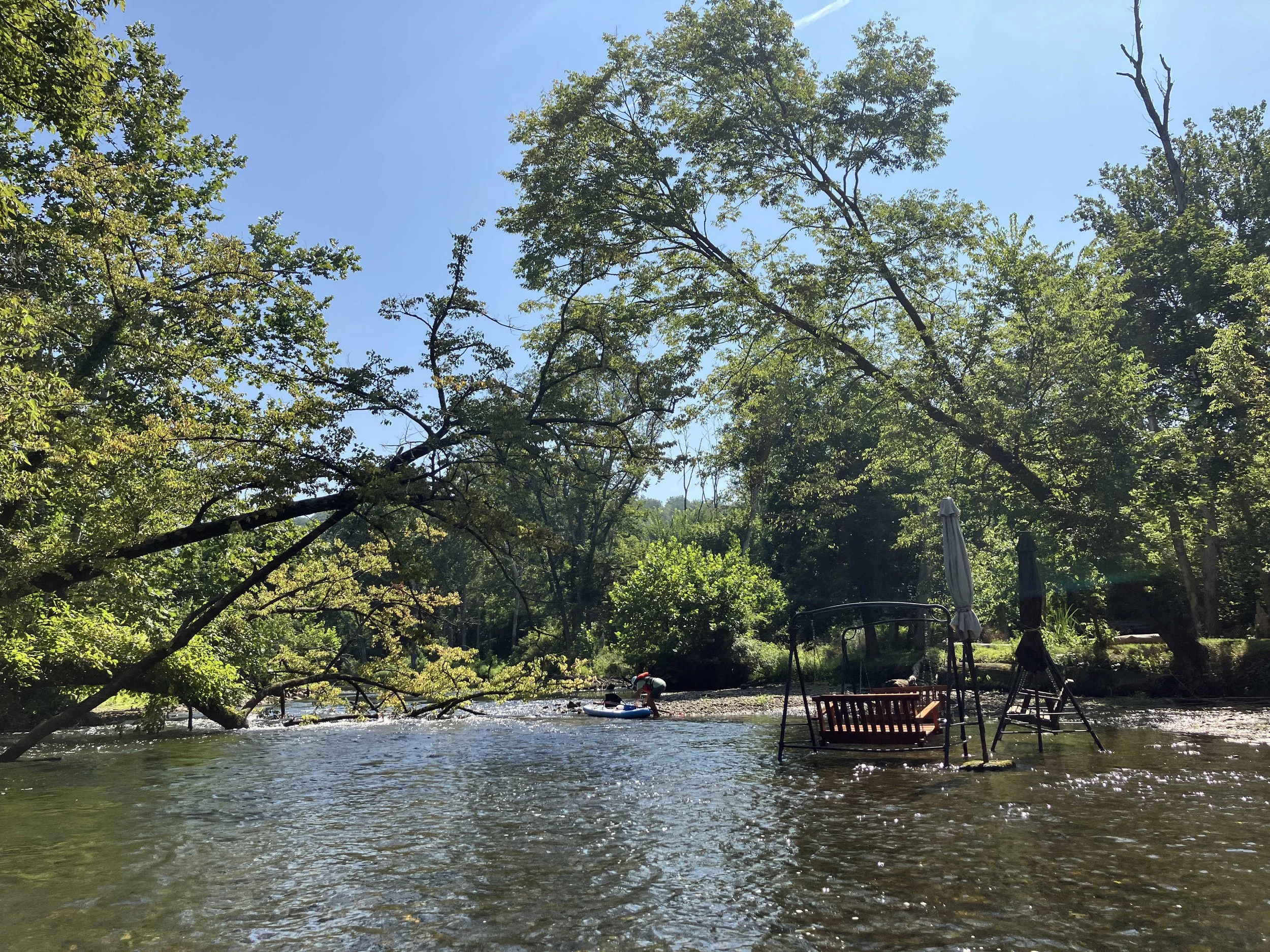
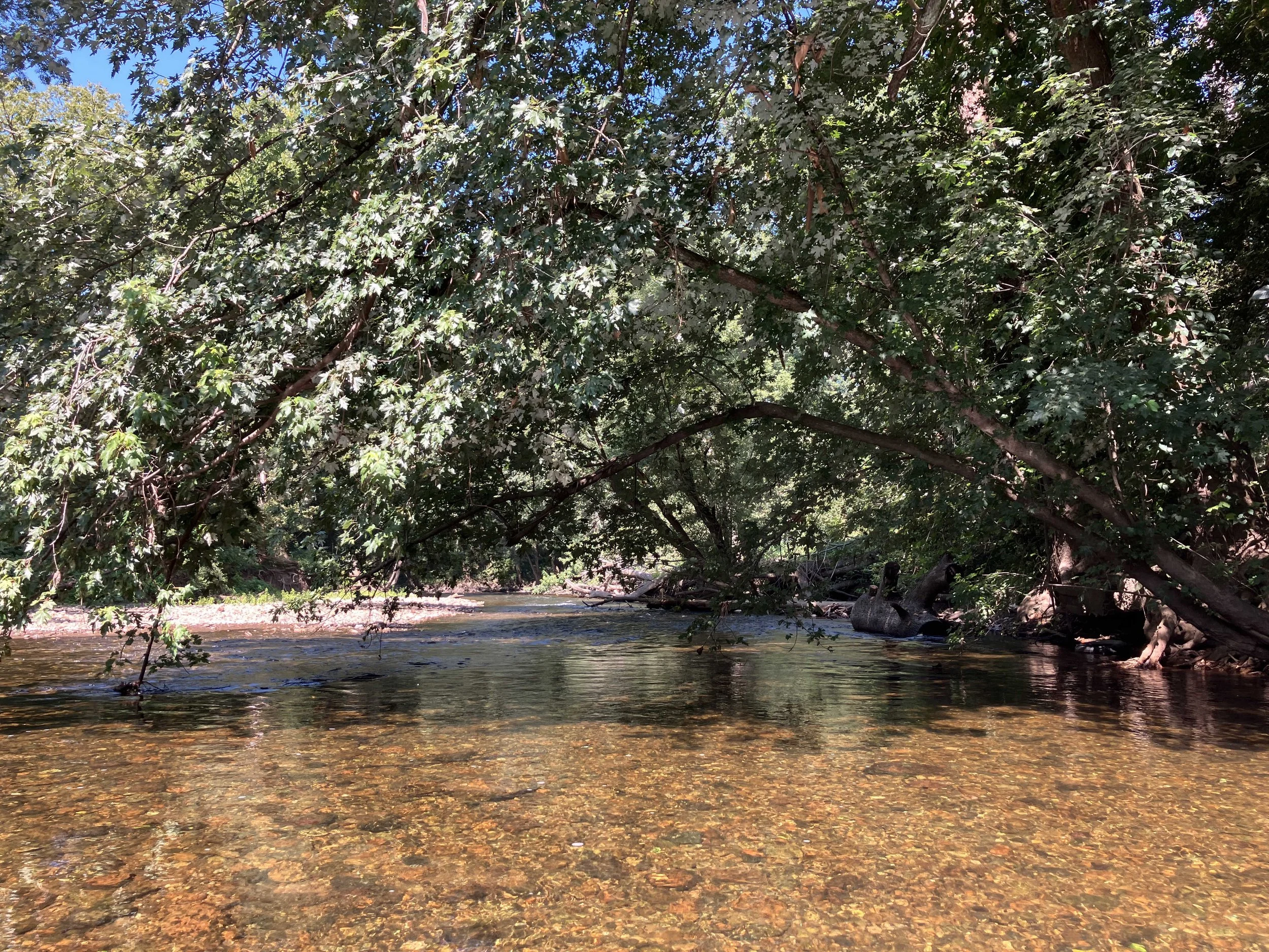
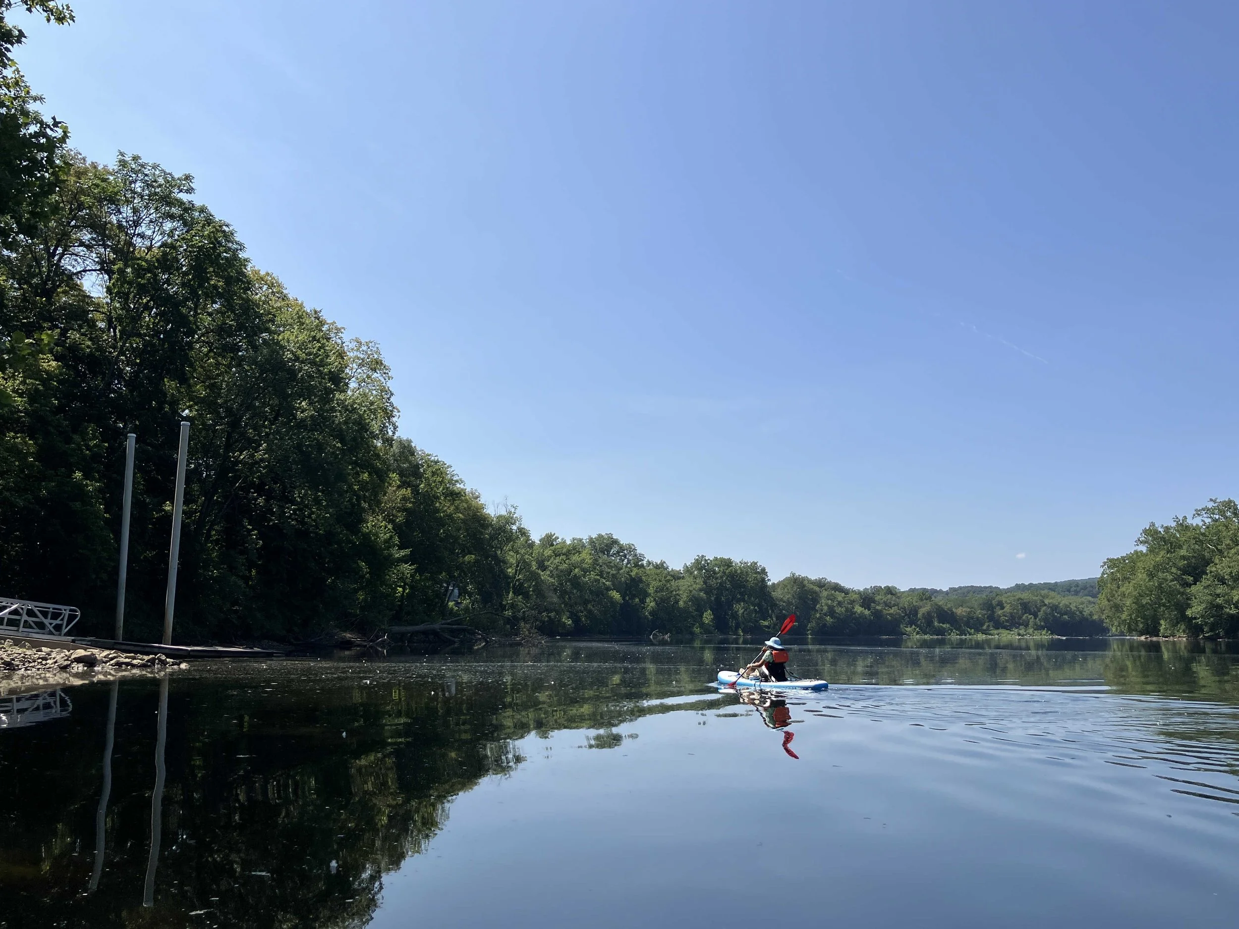
Musconetcong River #5: Hampton Borough Park to Bloomsbury
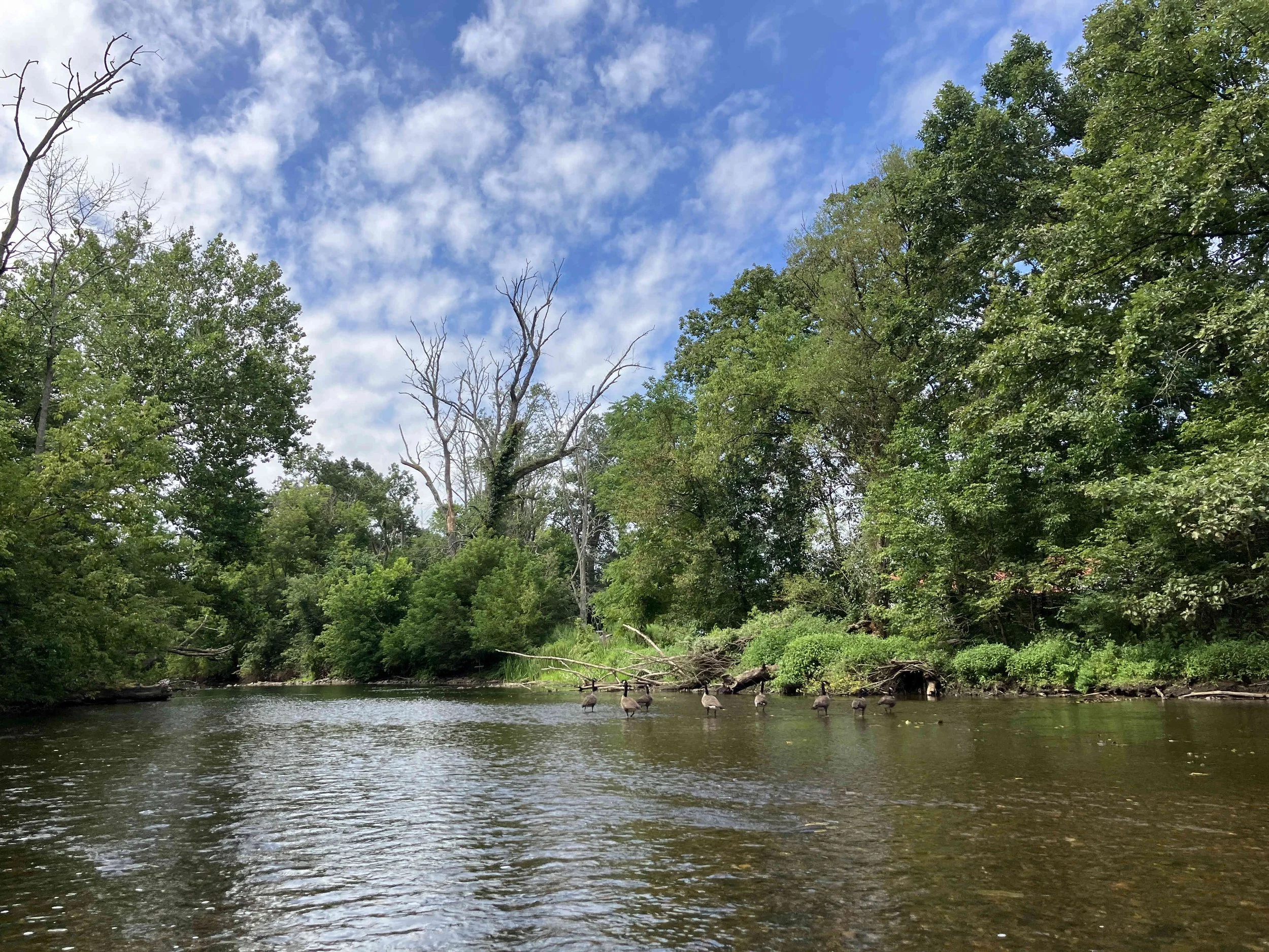
This nine-mile section of the river is pretty. There is a dam at Asbury (portage on the right), but no other obstructions. There were a few sections were the river was too shallow to navigate, but most of it was fine.
At one point there were some “no trespassing” signs strung over the river. I am told that these do not apply to kayakers. As long as you stay in the river, you are legal, even if you have to walk for a short section.
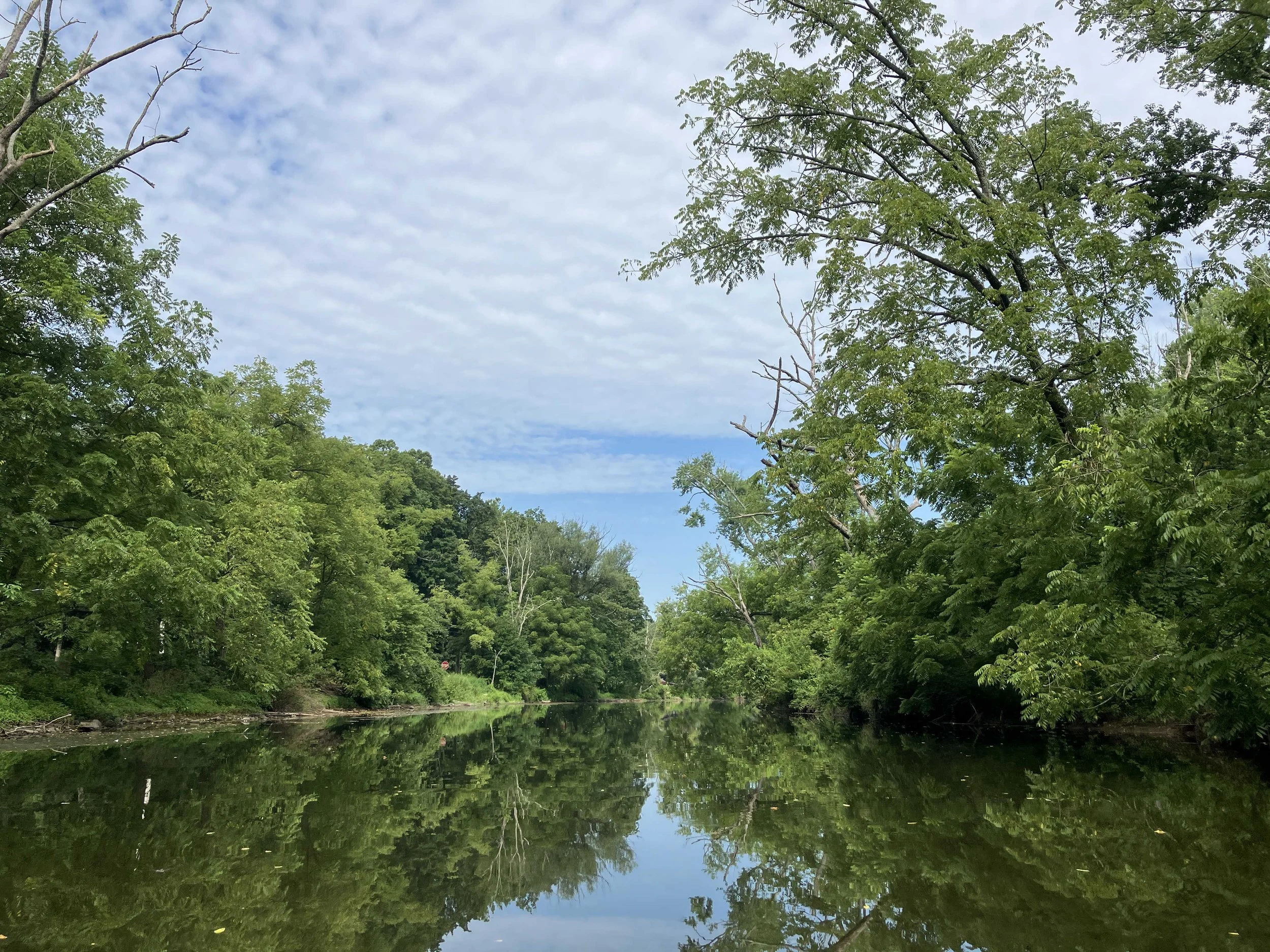
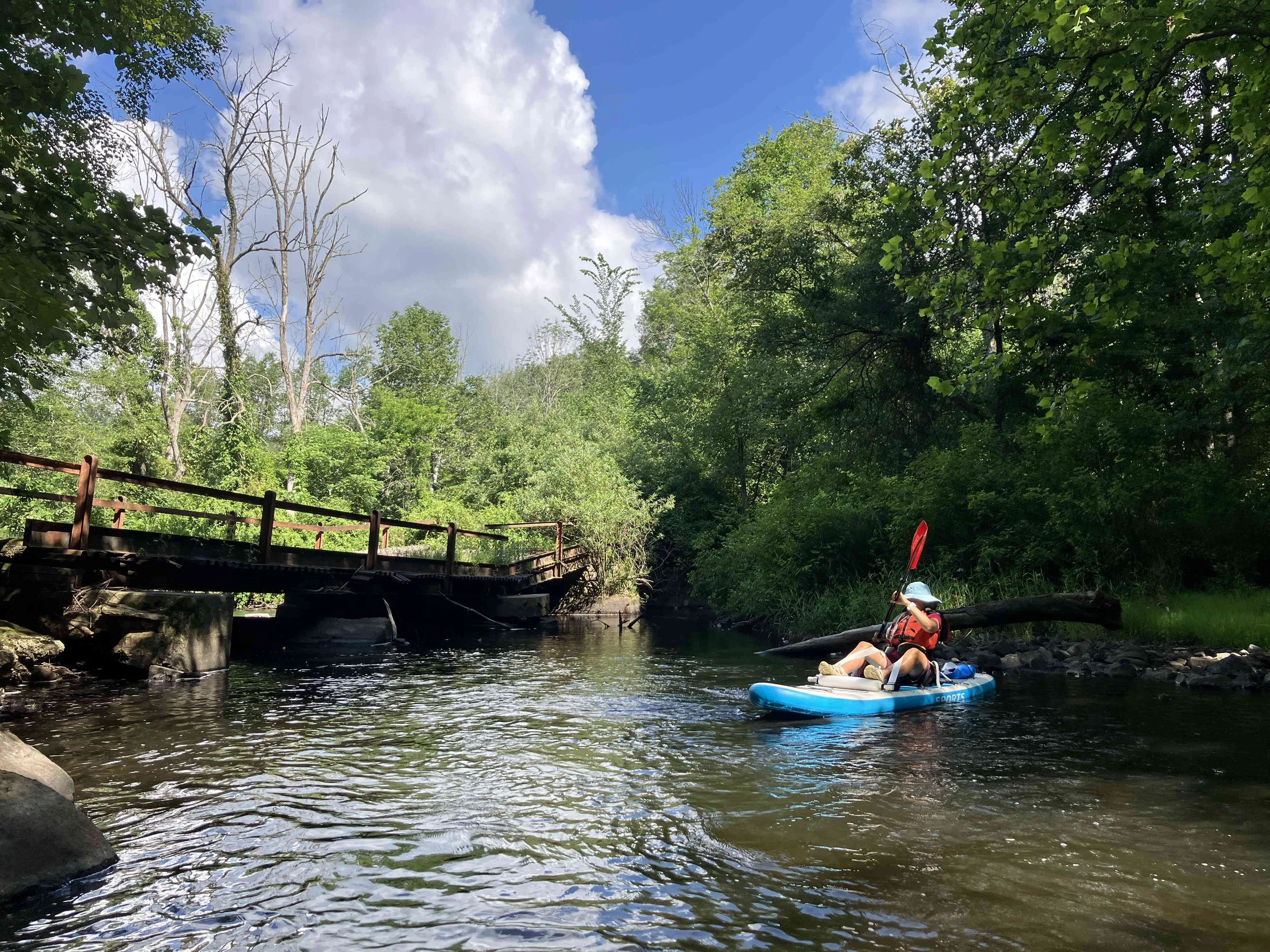
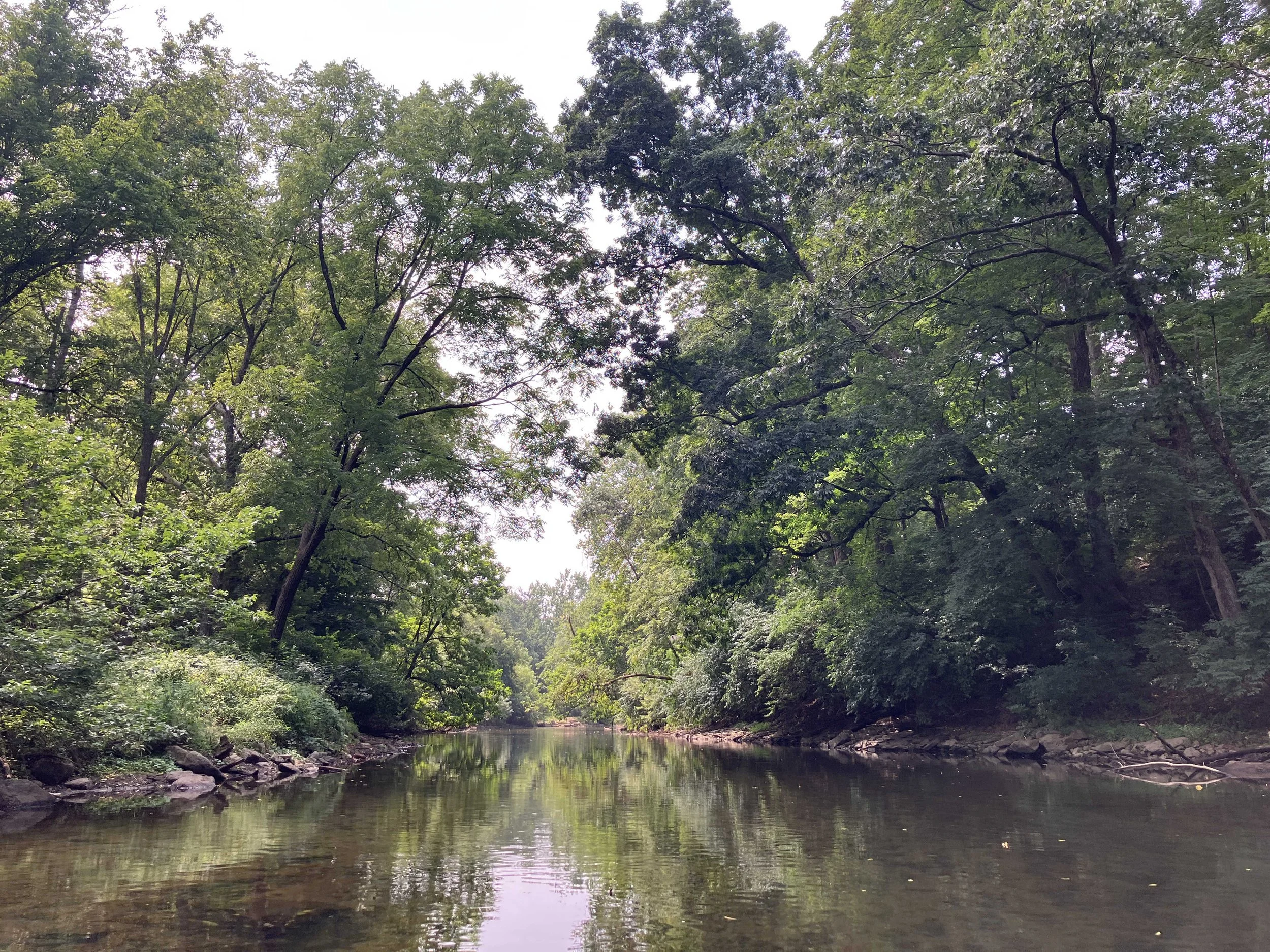
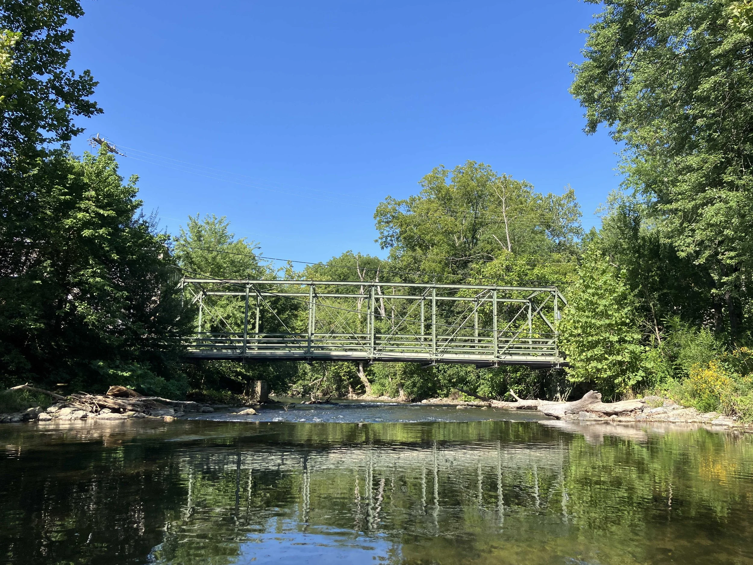
Musconetcong River #6: Bloomsbury to Hughesville
The river runs through the Musconetcong Gorge. It is the only true whitewater section of the river. It is recommended for advanced paddlers only. We decided to skip.
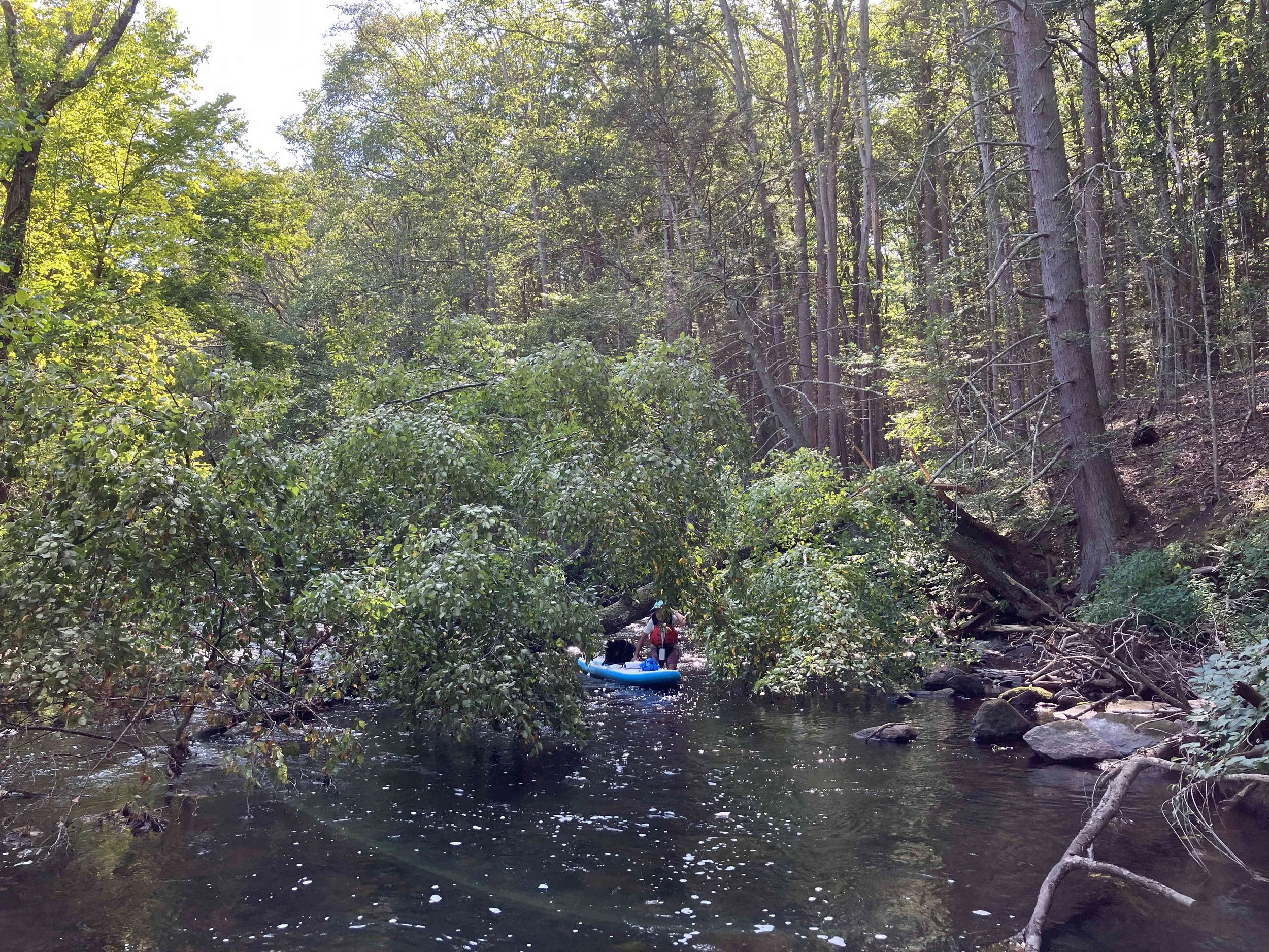
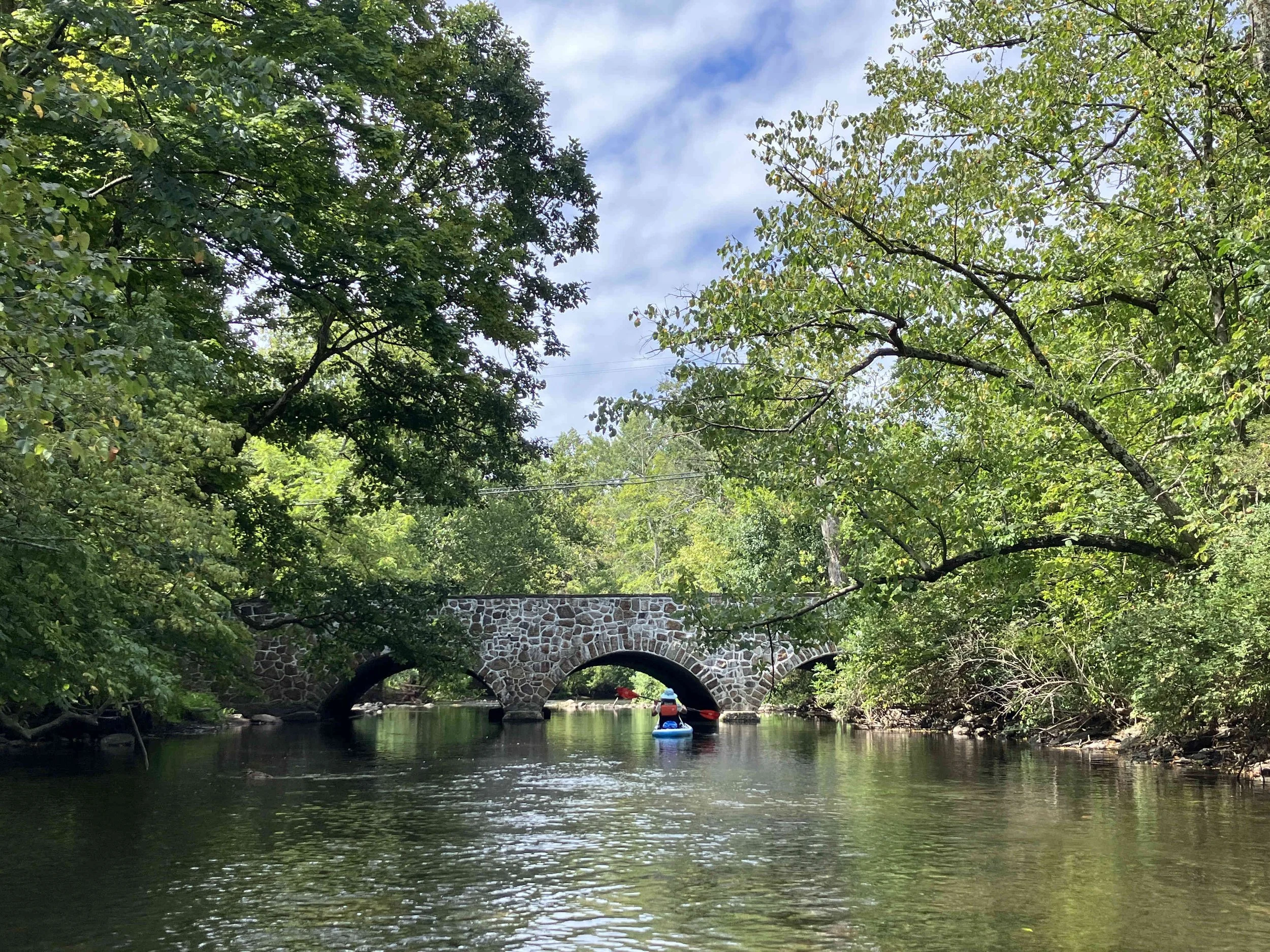
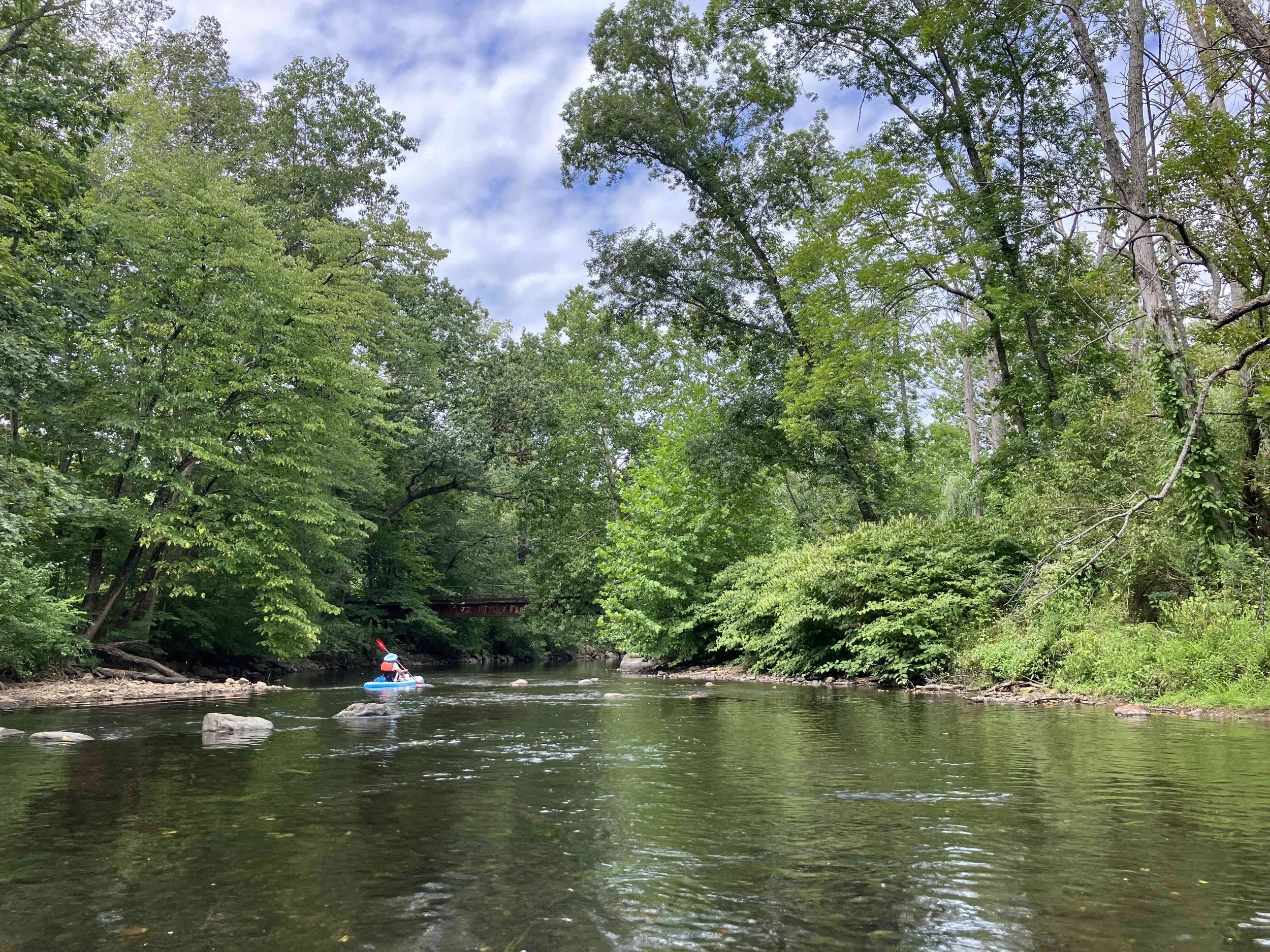
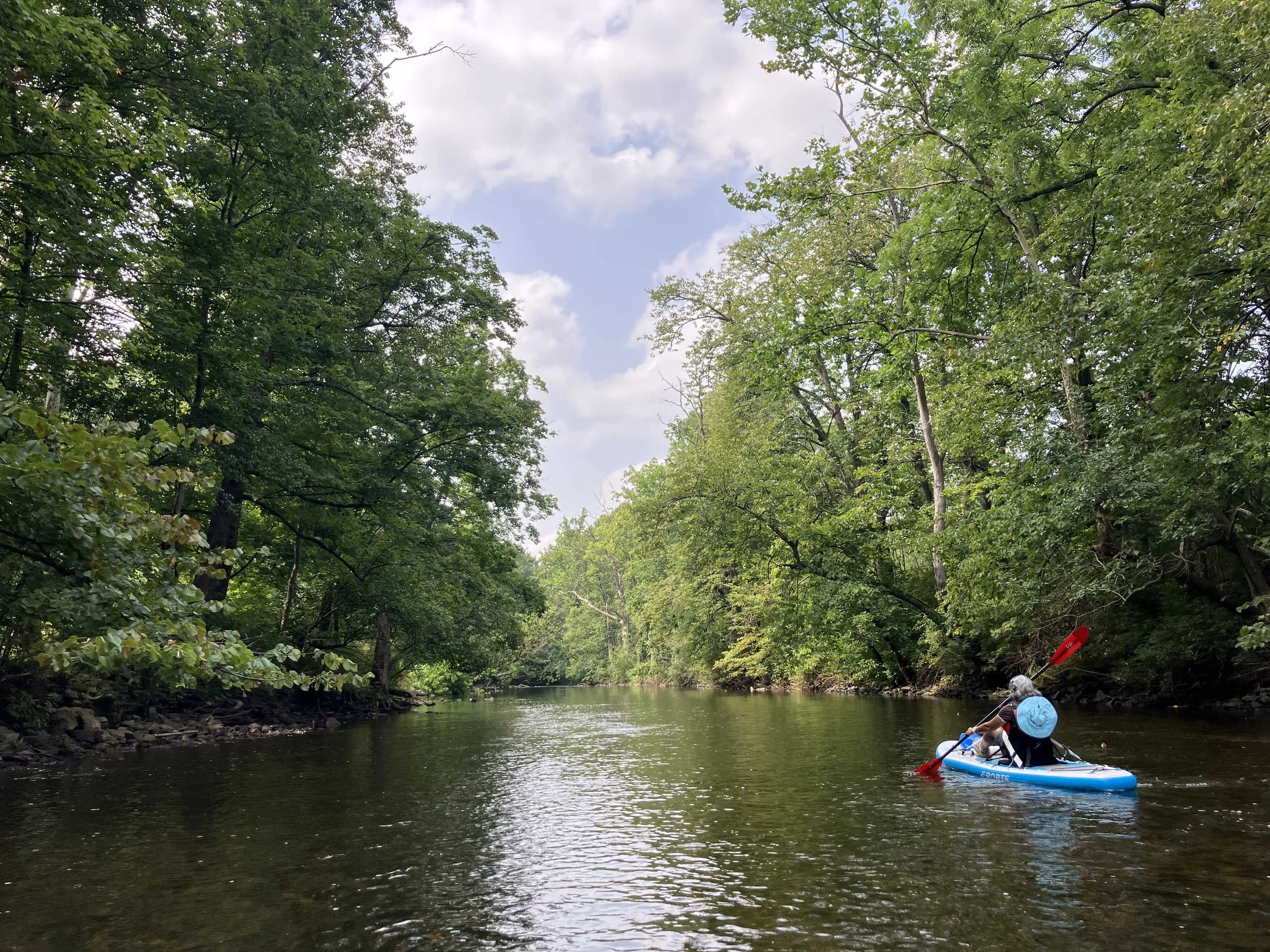
Musconetcong River #7: Hughesville to Delaware River
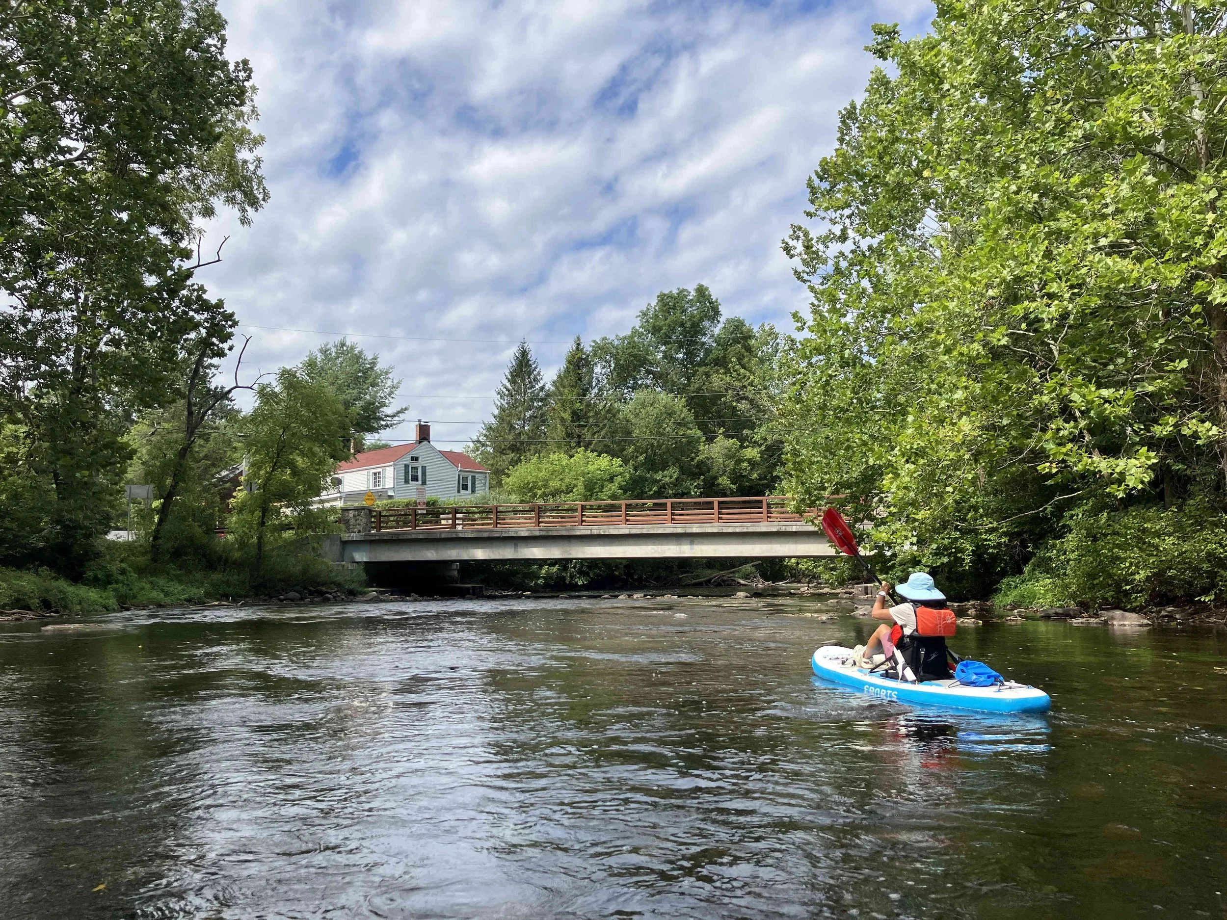
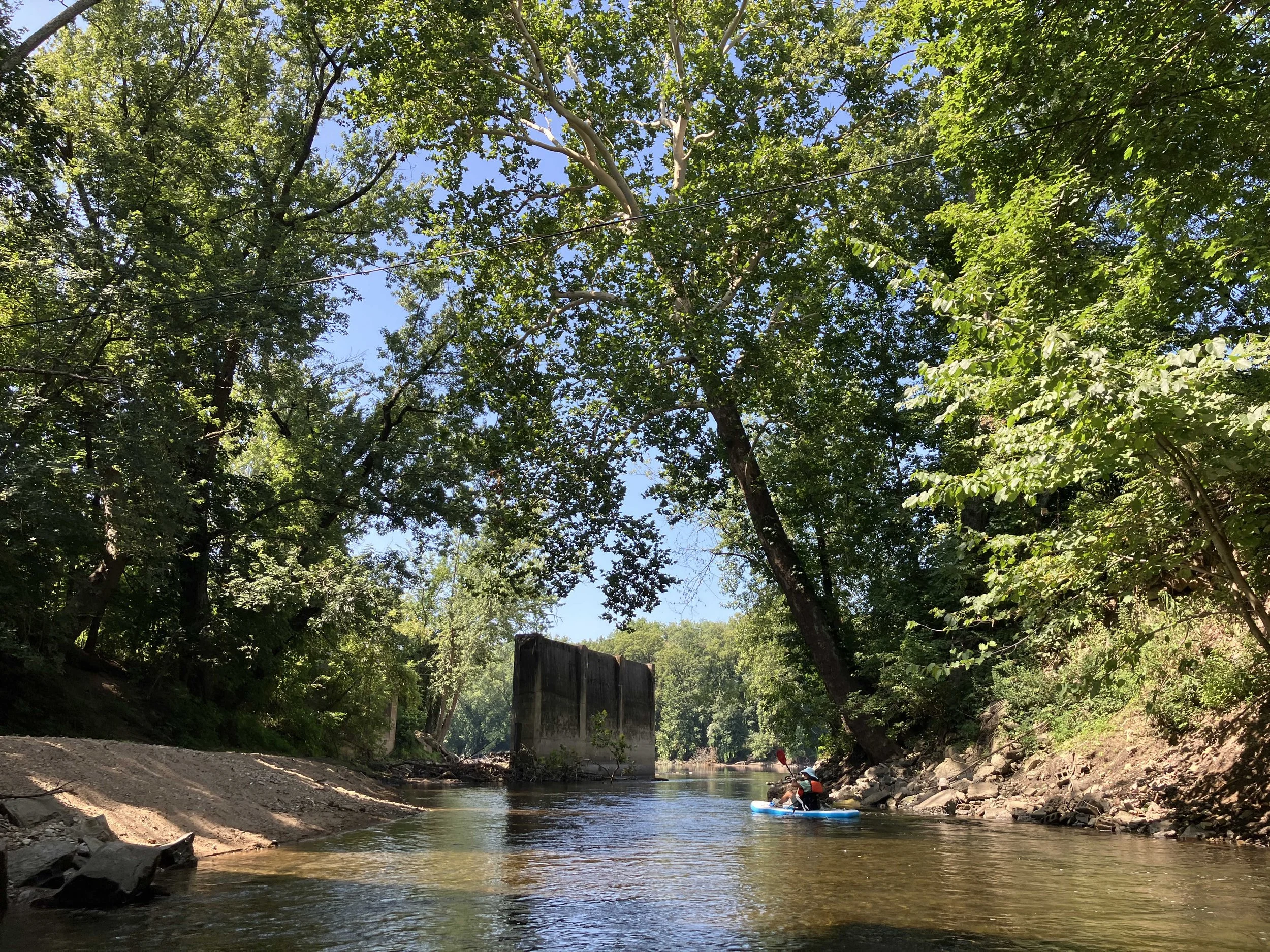
This five-mile section is pretty, but also challenging. The water is fast in places, with numerous rapids. There are several strainers that have to be portaged around. In a couple of places, the river is too shallow to paddle. Launch at the Hughesville Fishing Access, (across from Hughesville Fire House). Take out at the Riegelsville Boat Ramp on the Delaware River.
National Wild and Scenic Rivers System
The Musconetcong River is a designated wild and scenic river. The National Wild and Scenic Rivers System was created by Congress in 1968 to preserve certain rivers with outstanding natural, cultural, and recreational values in a free-flowing condition for the enjoyment of present and future generations. The Musconetcong is a "Partnership River" whereby a number of municipalities coordinate on its management with the National Park Service.
Stream Gauges
There are two stream gauges on the Musconetcong River:
References
National Wild and Scenic Rivers System: link
National Wild and Scenic Rivers System, Musconetcong River: link
National Park Service, Musconetcong River Brochure (PDF): link
Musconetcong Watershed Association: link
August/2025