Rockaway River
The Rockaway River is a tributary of the Passaic River. It tends to be shallow. Only some sections are navigable.
Rockaway River: Denville to Boonton
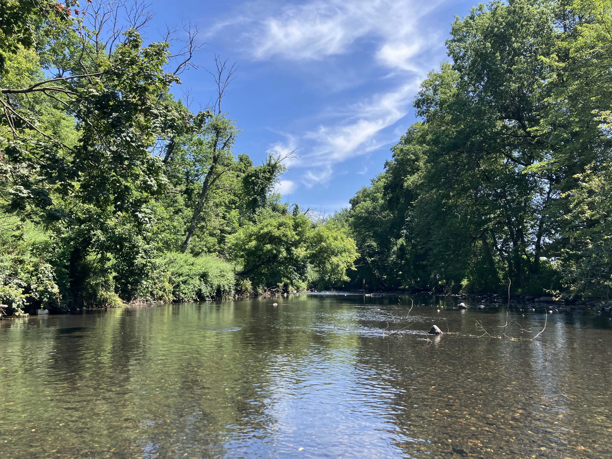
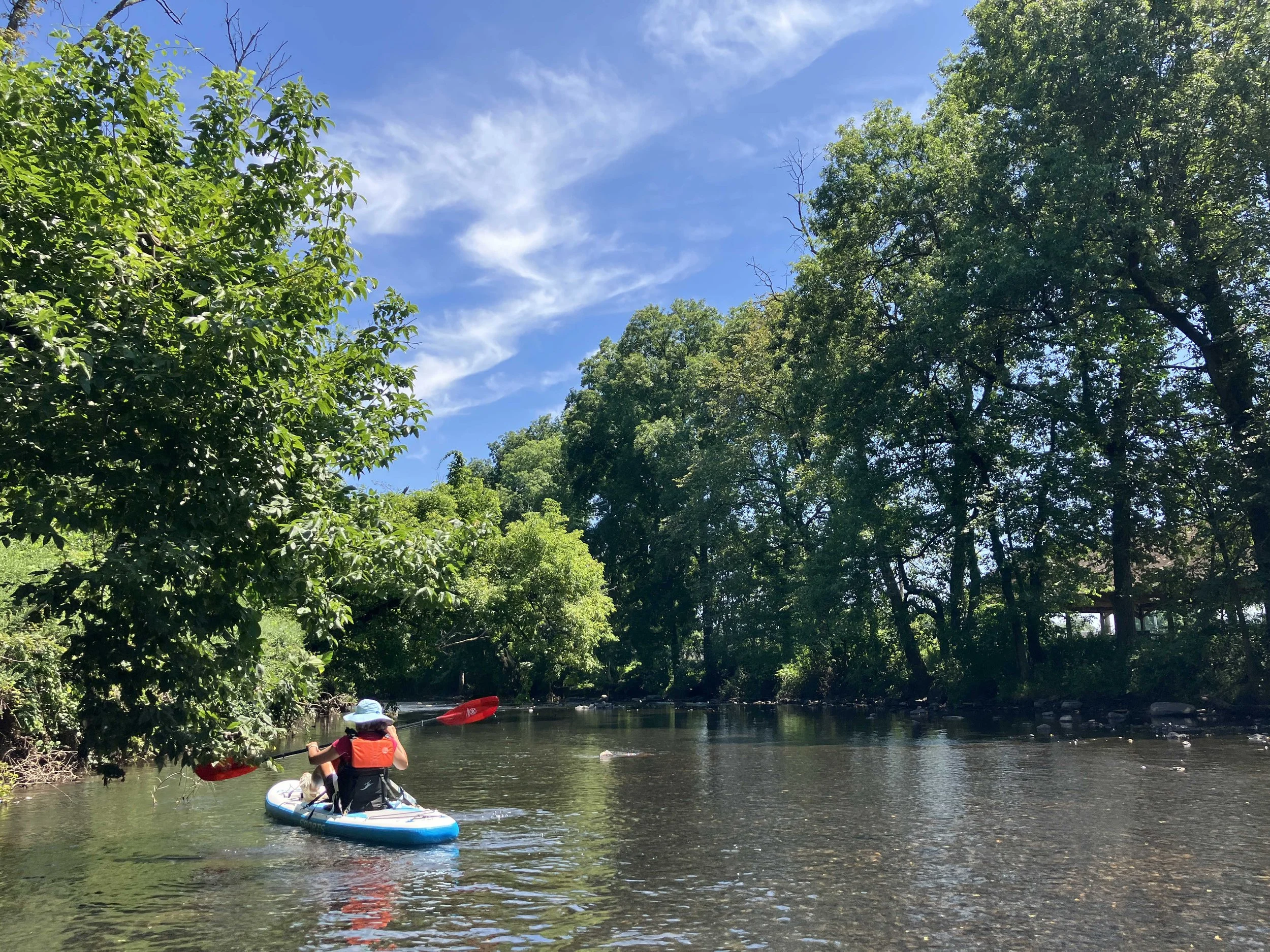
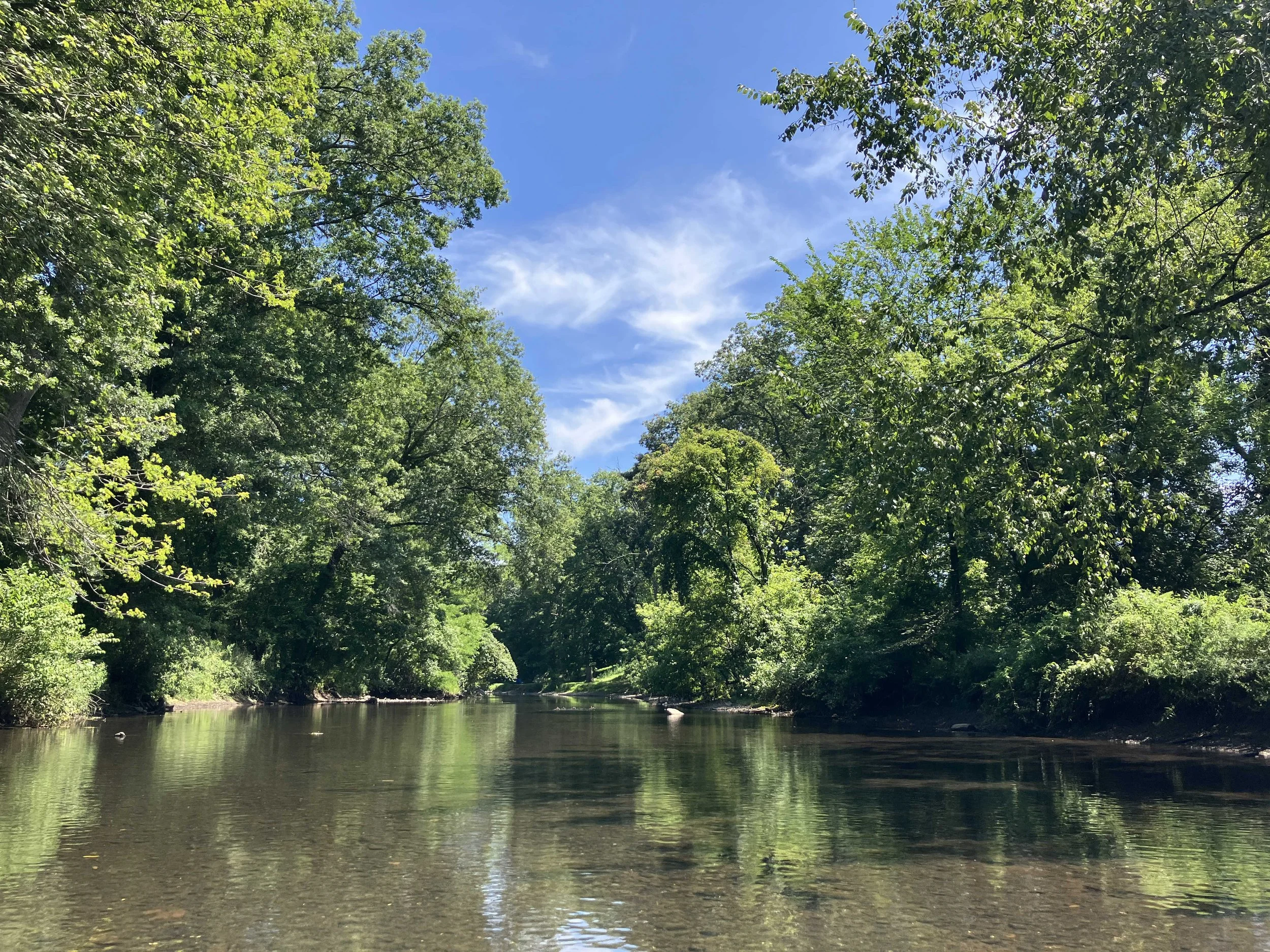
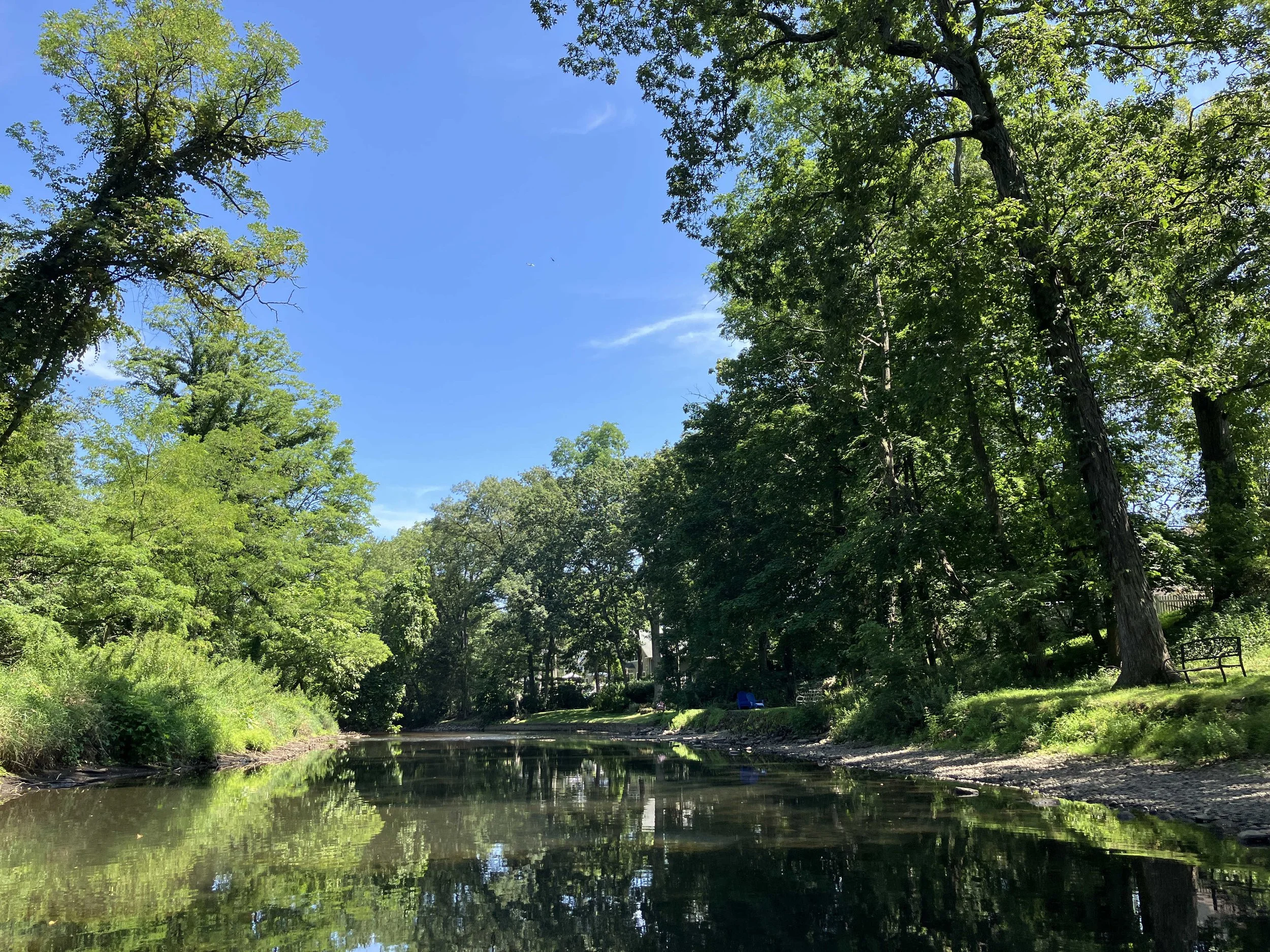
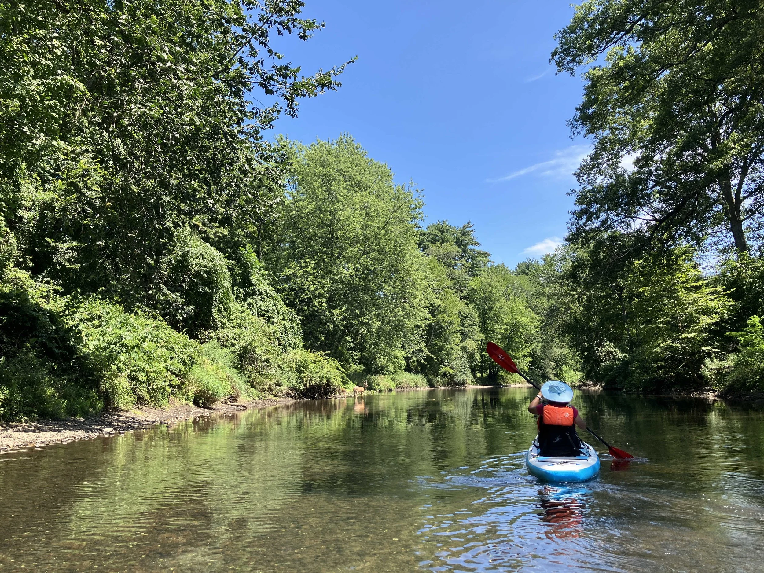
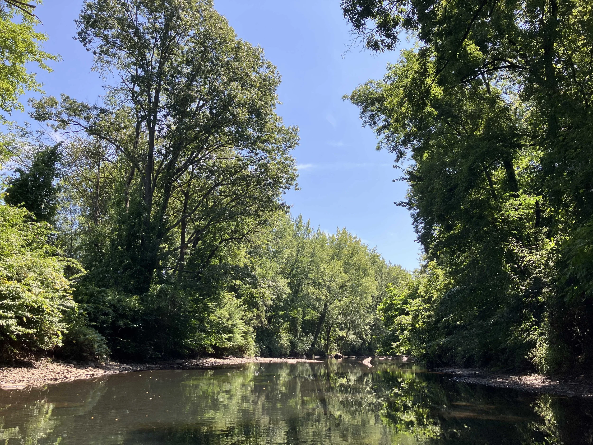
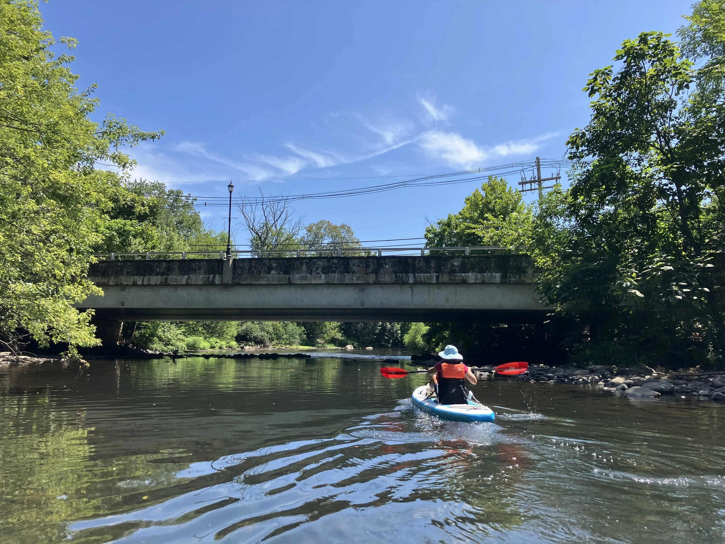
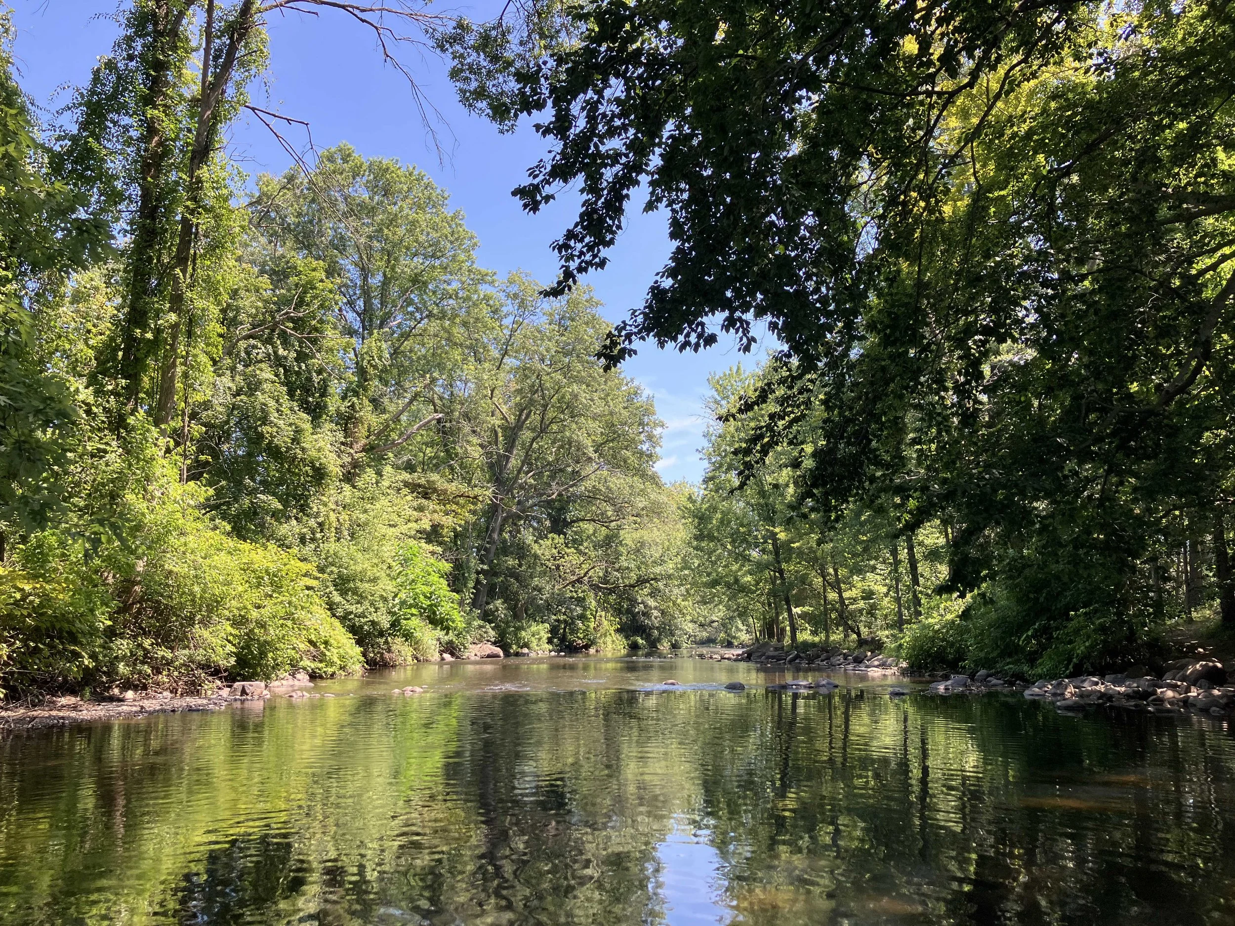
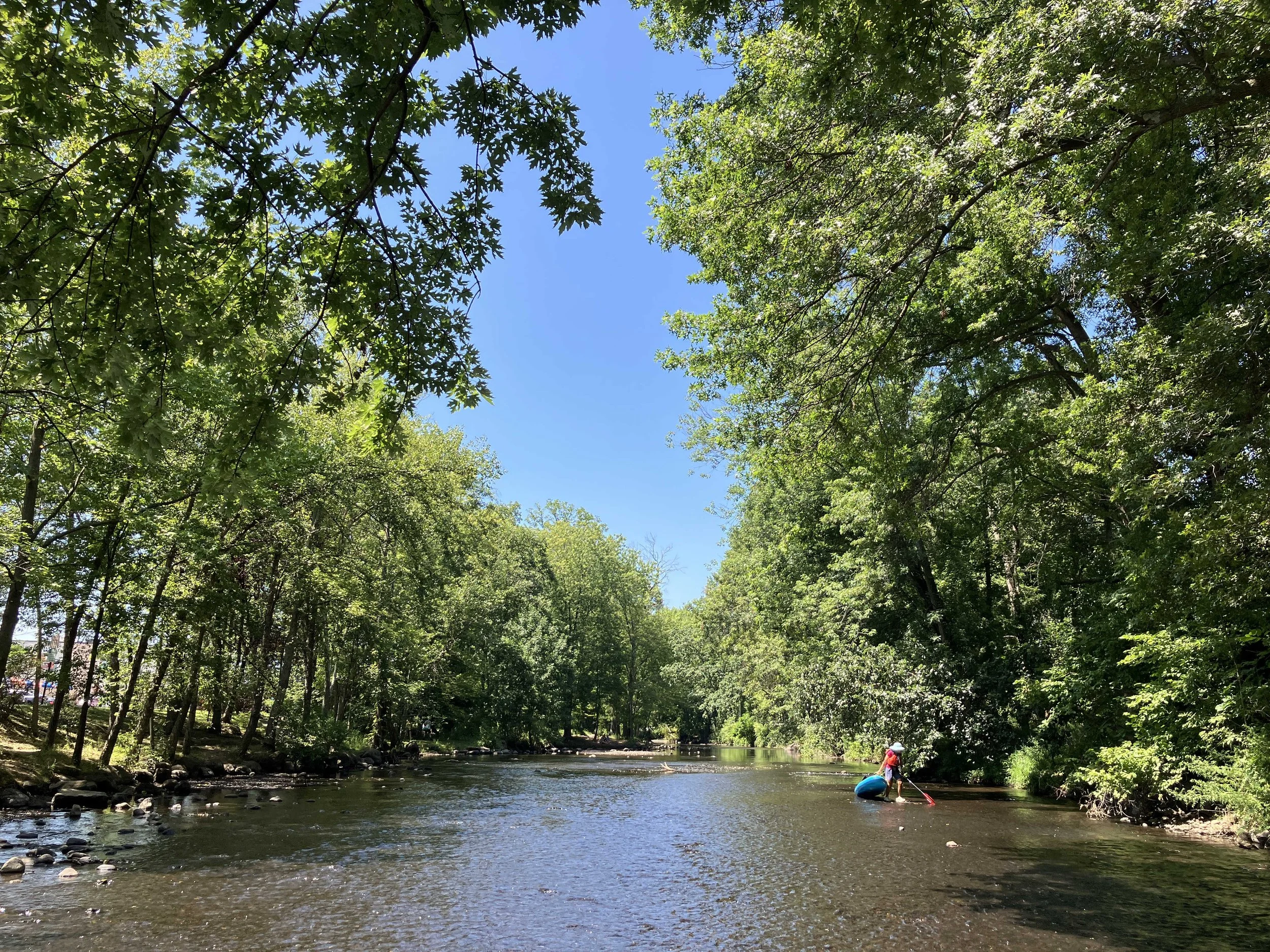
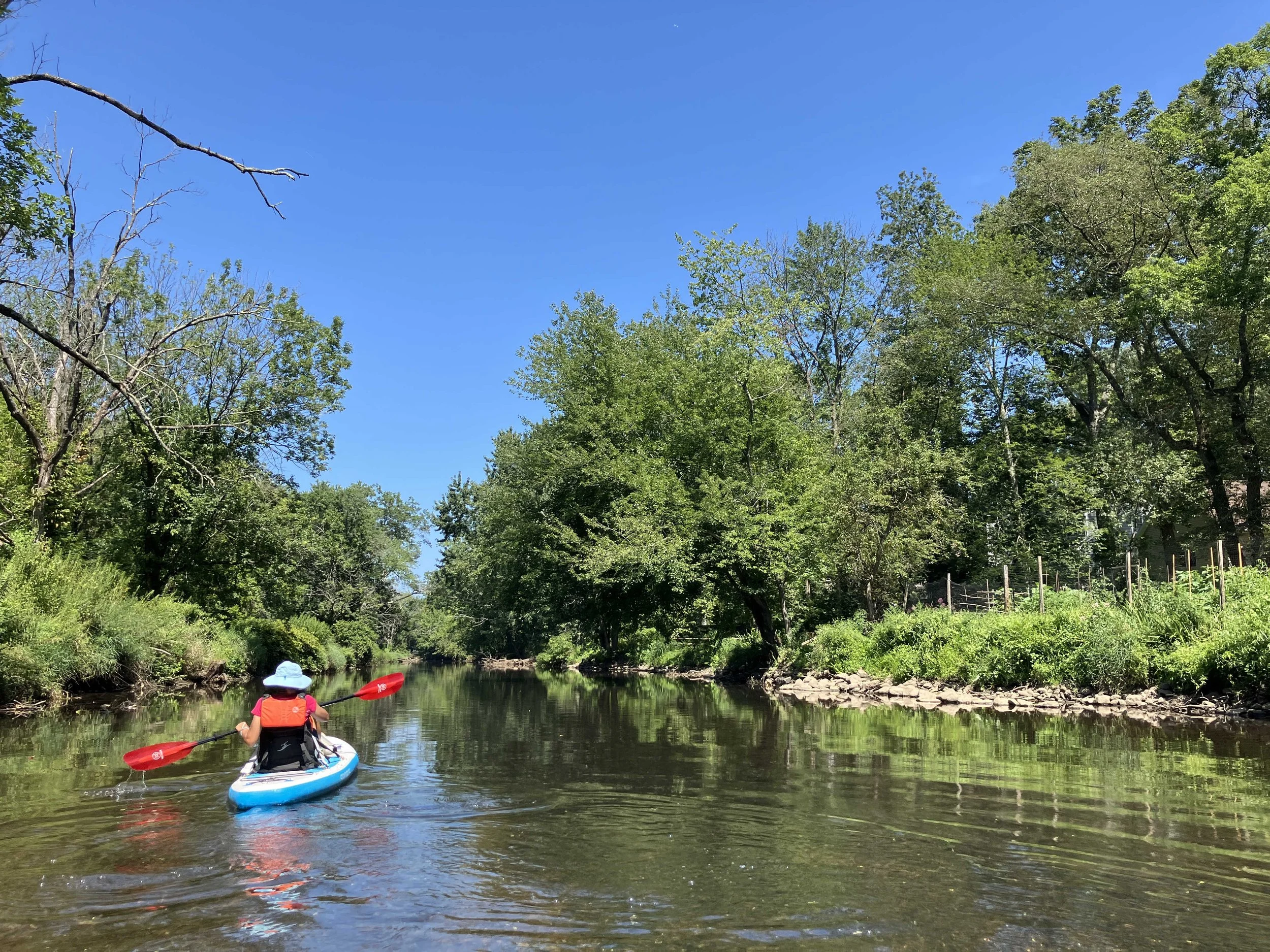
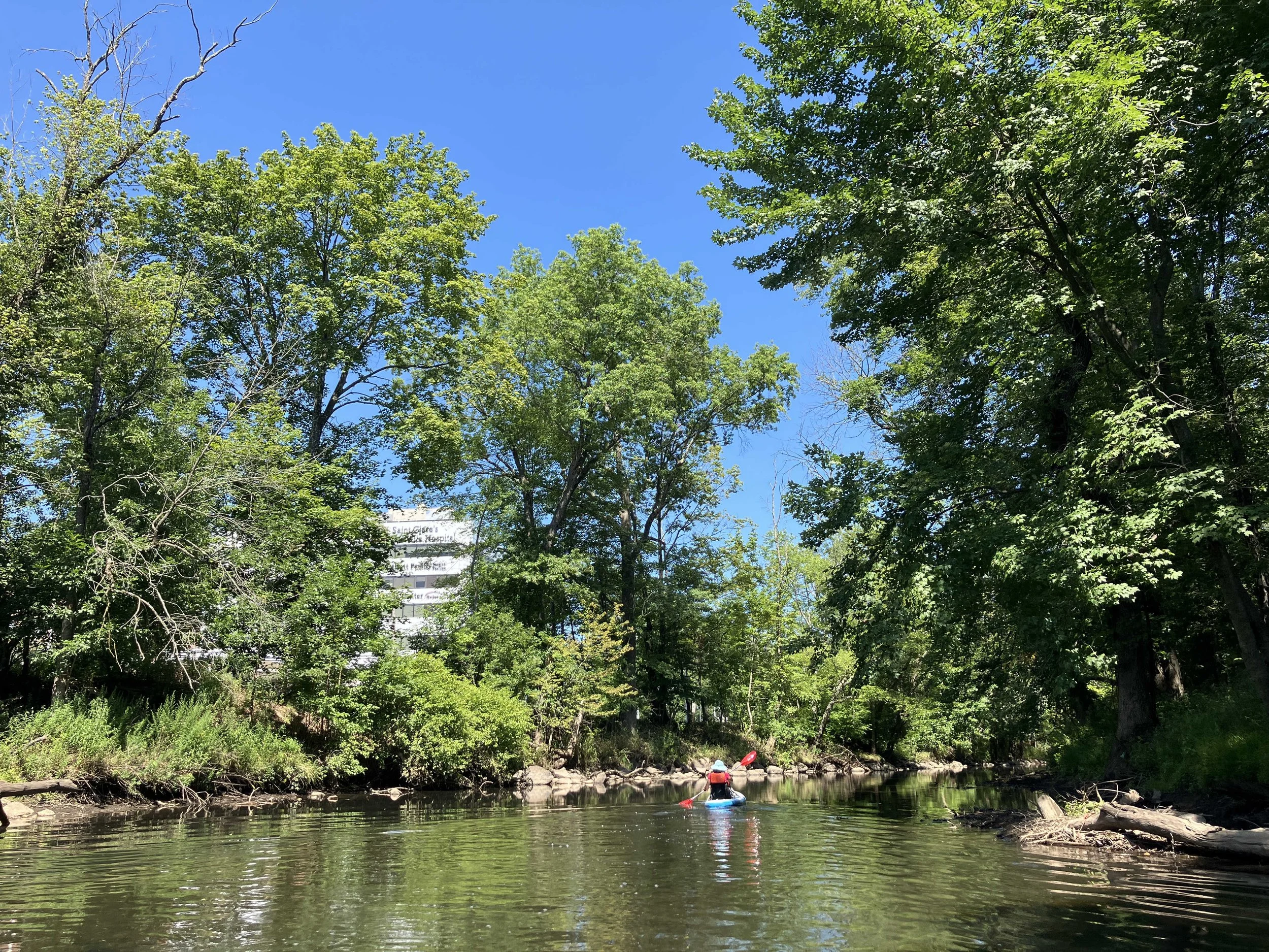
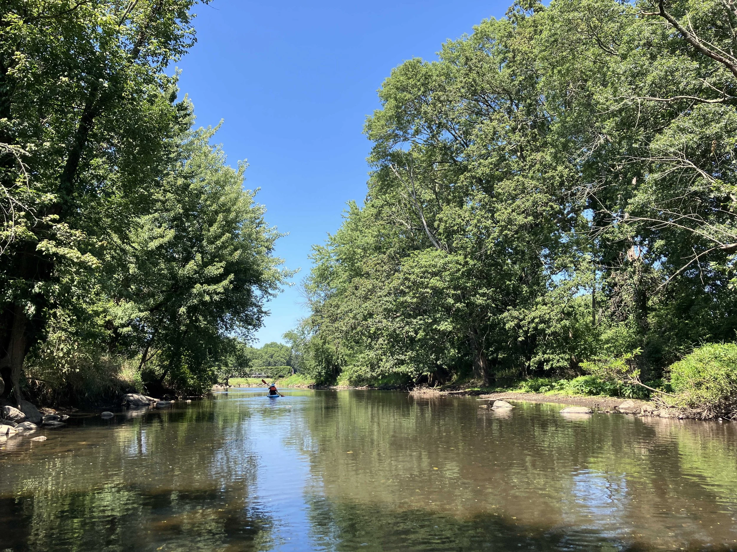
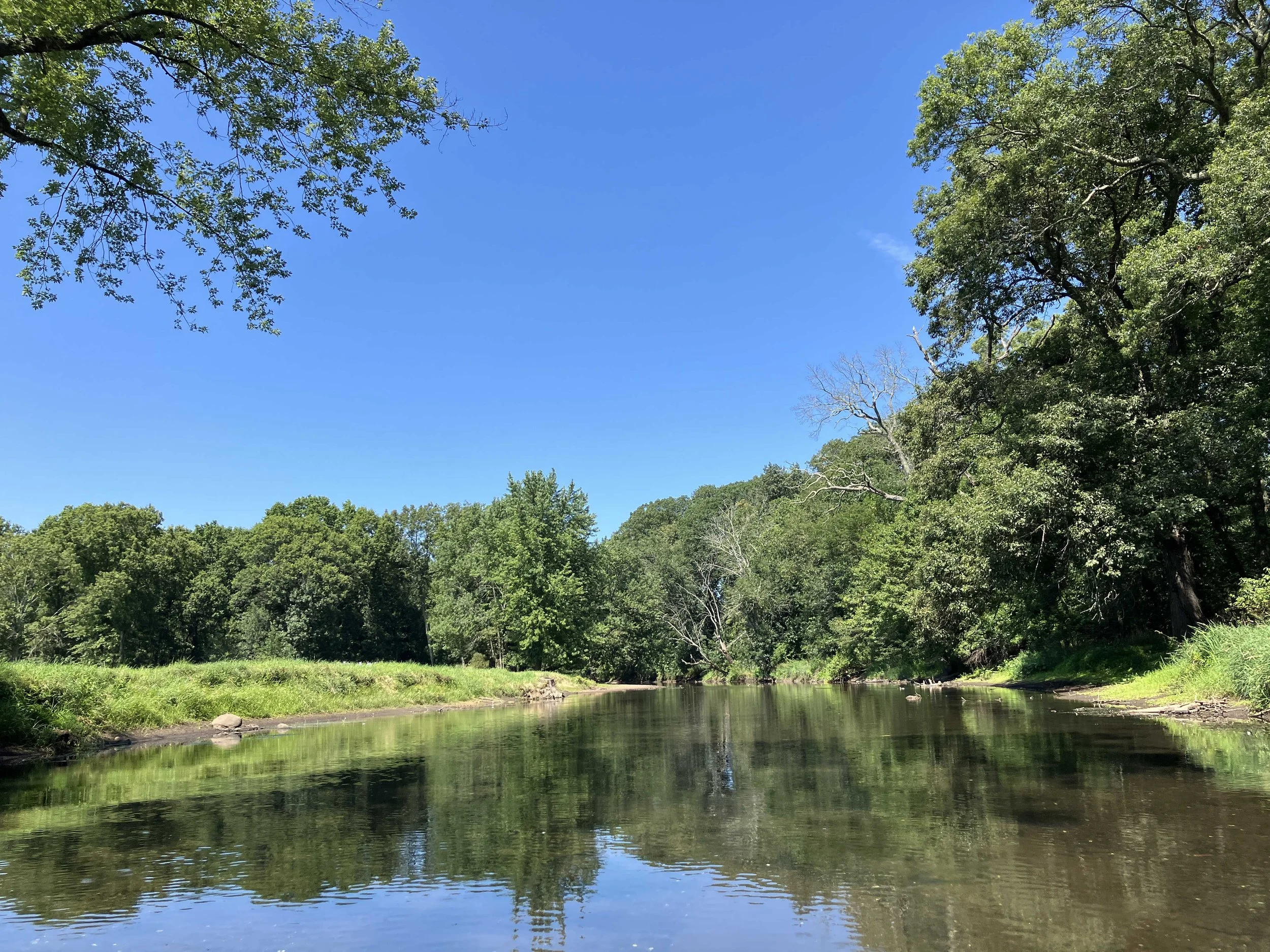
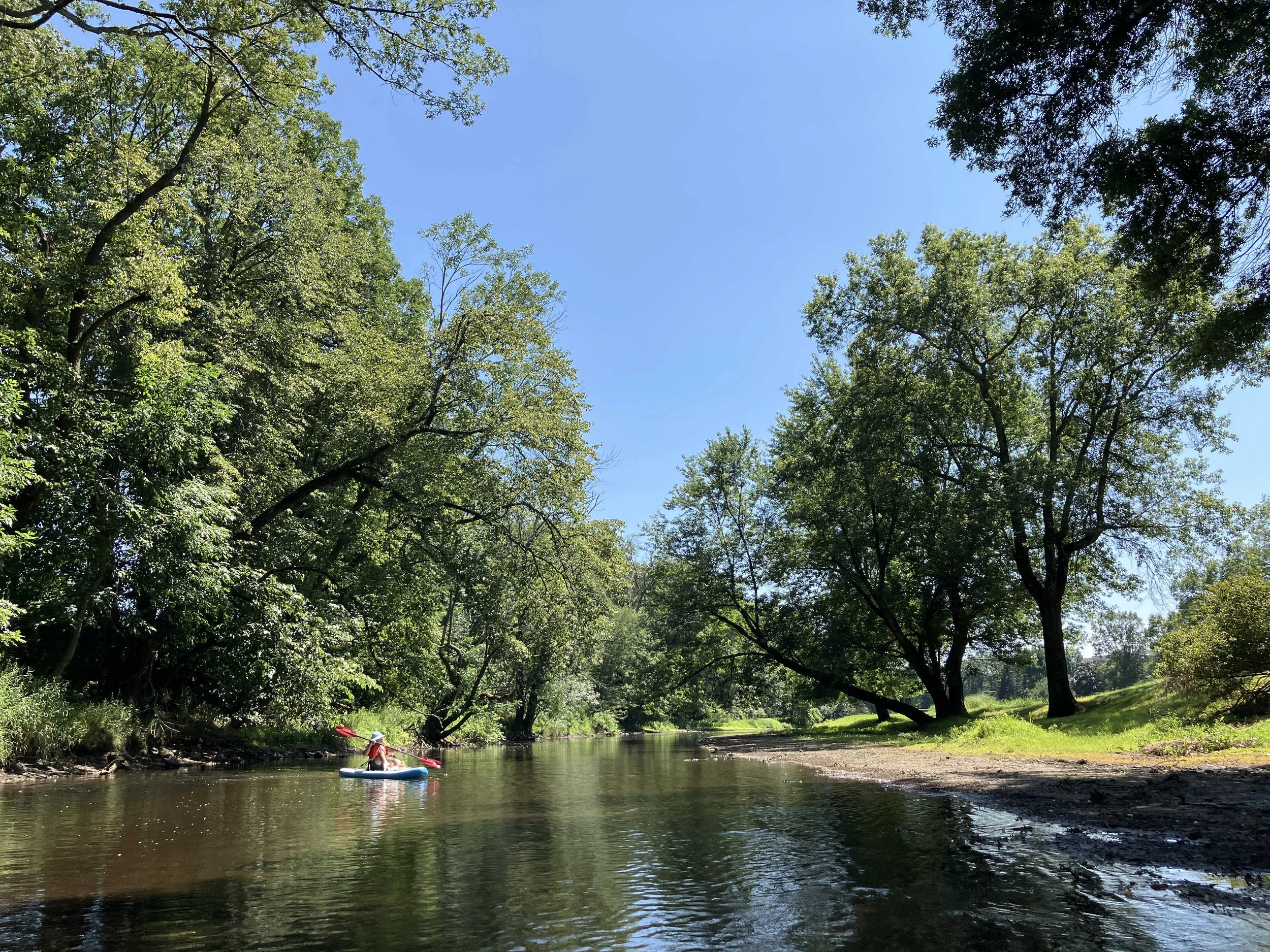
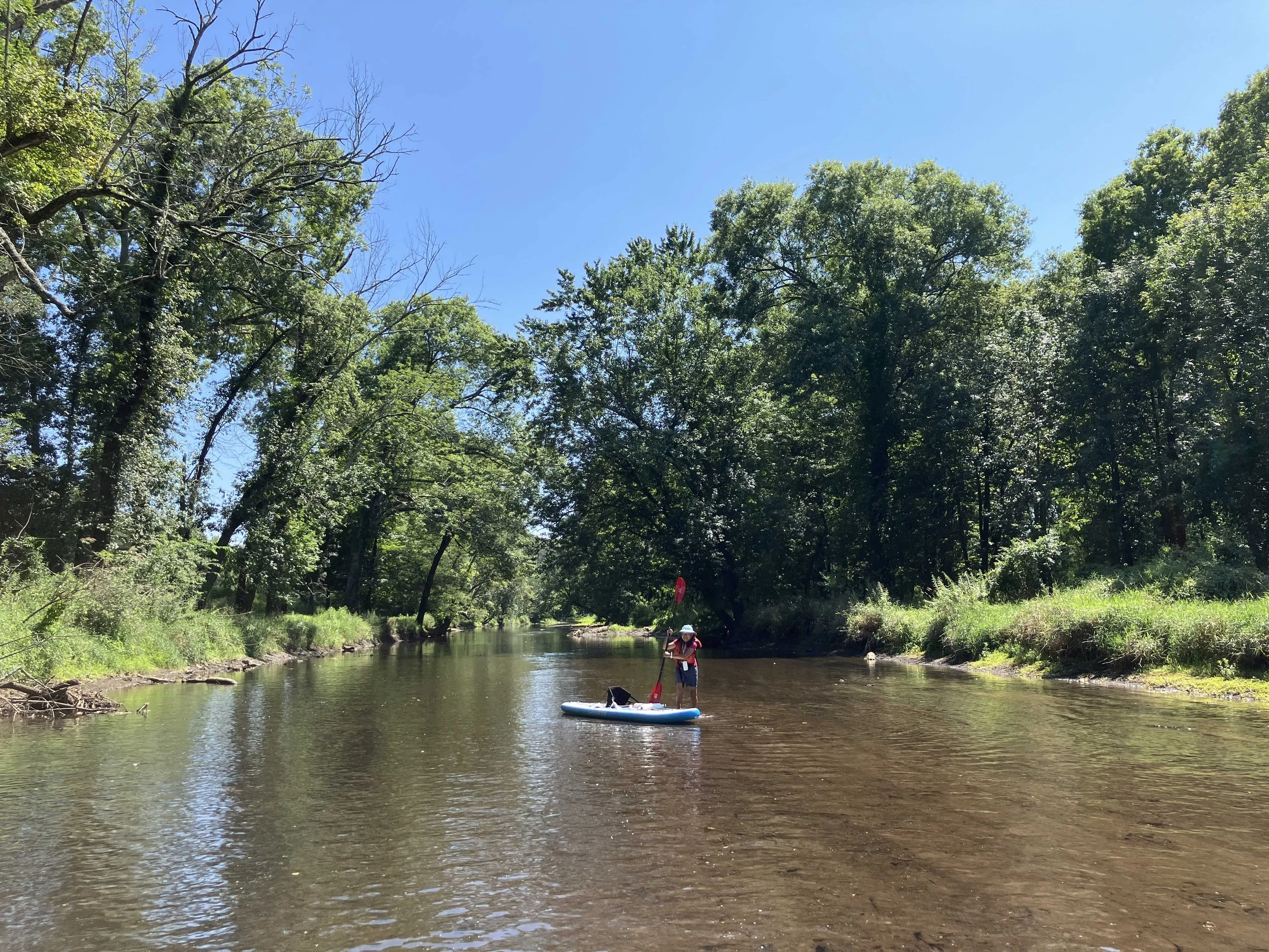
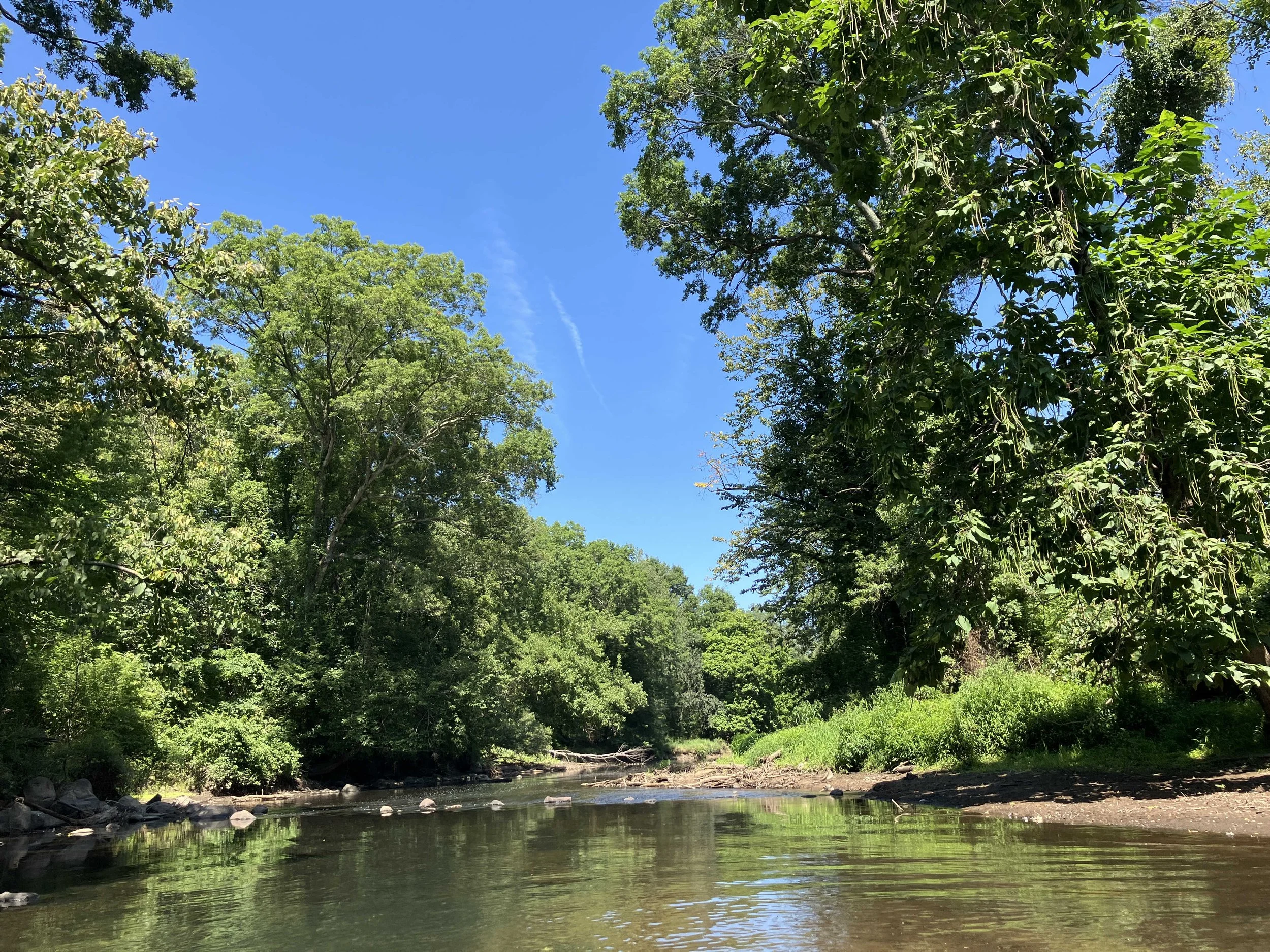
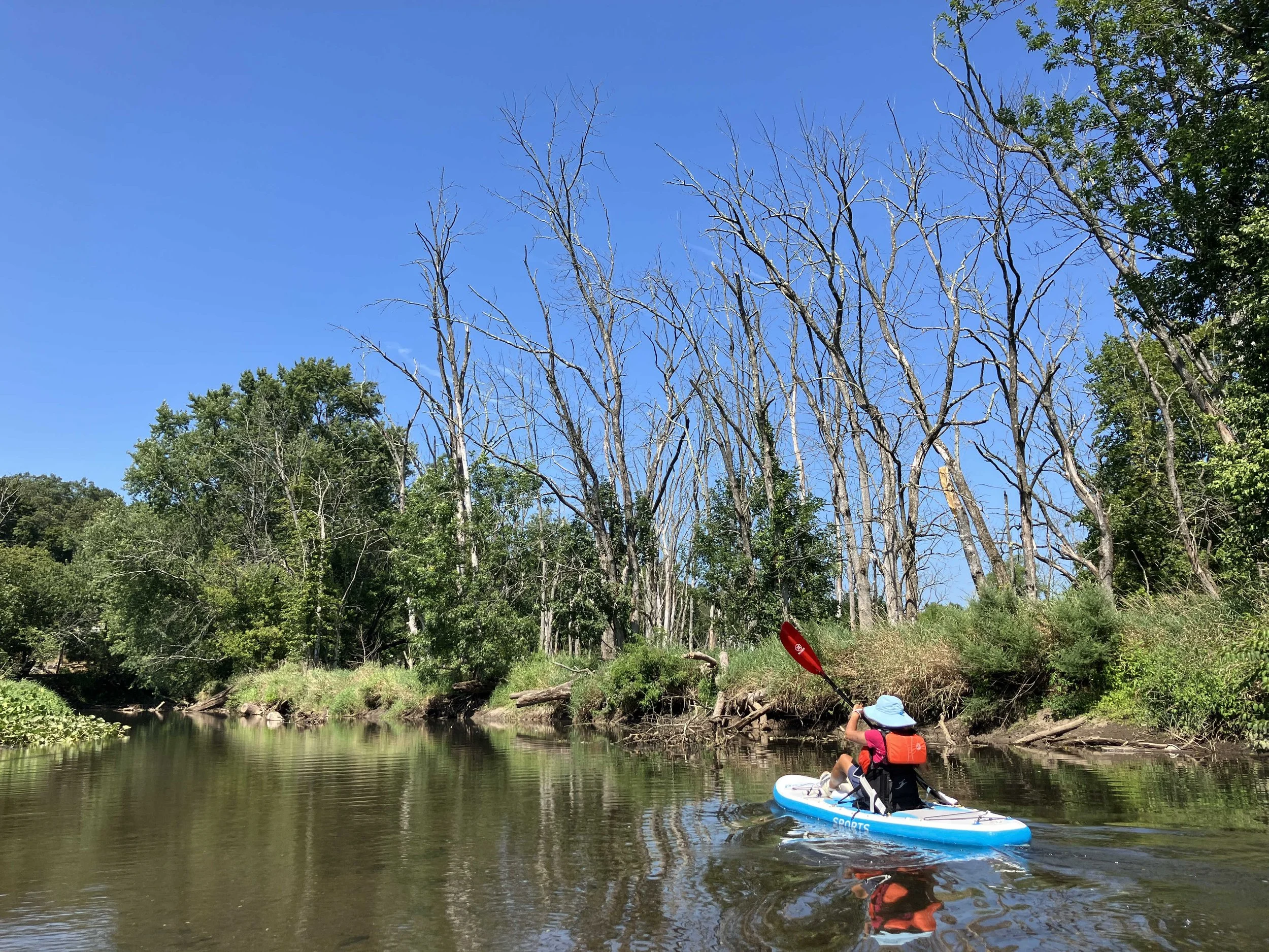
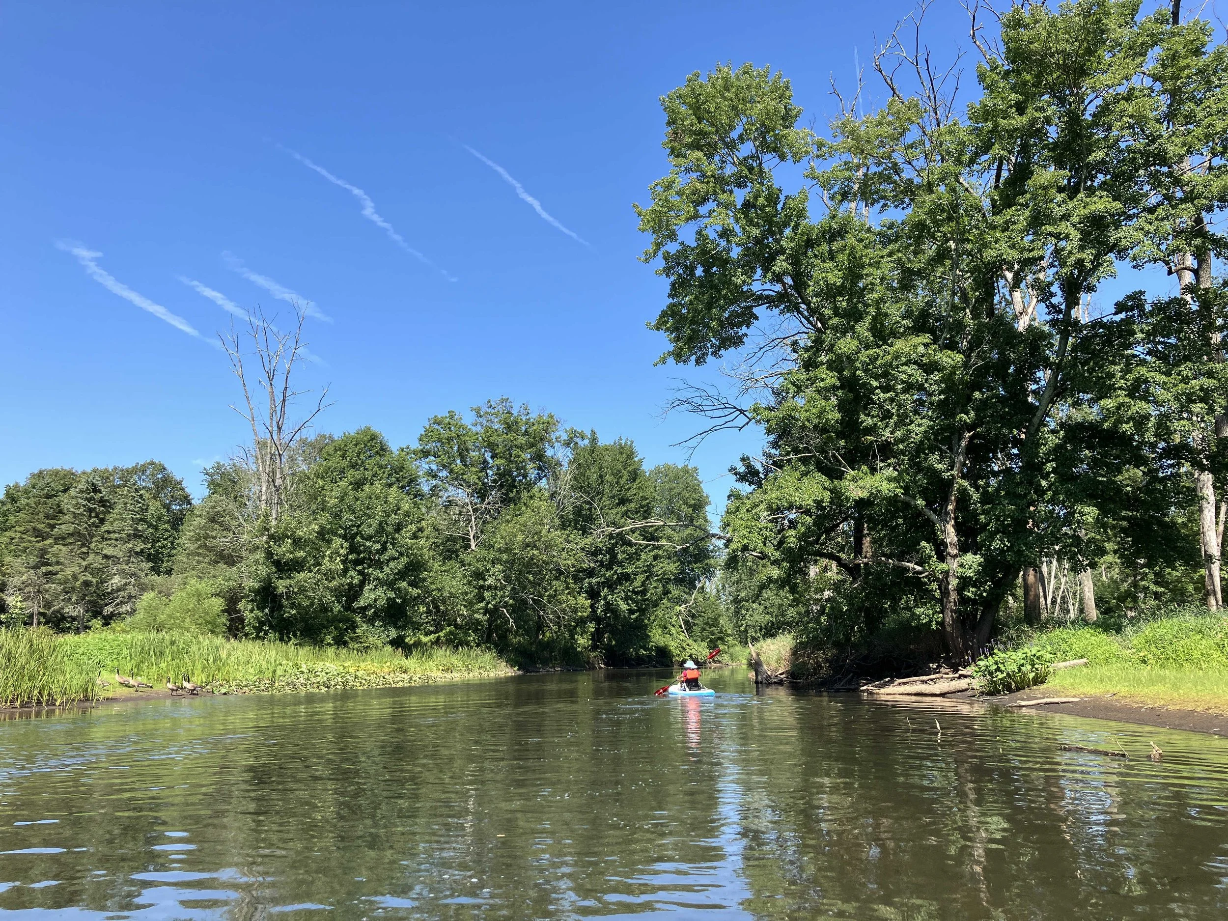
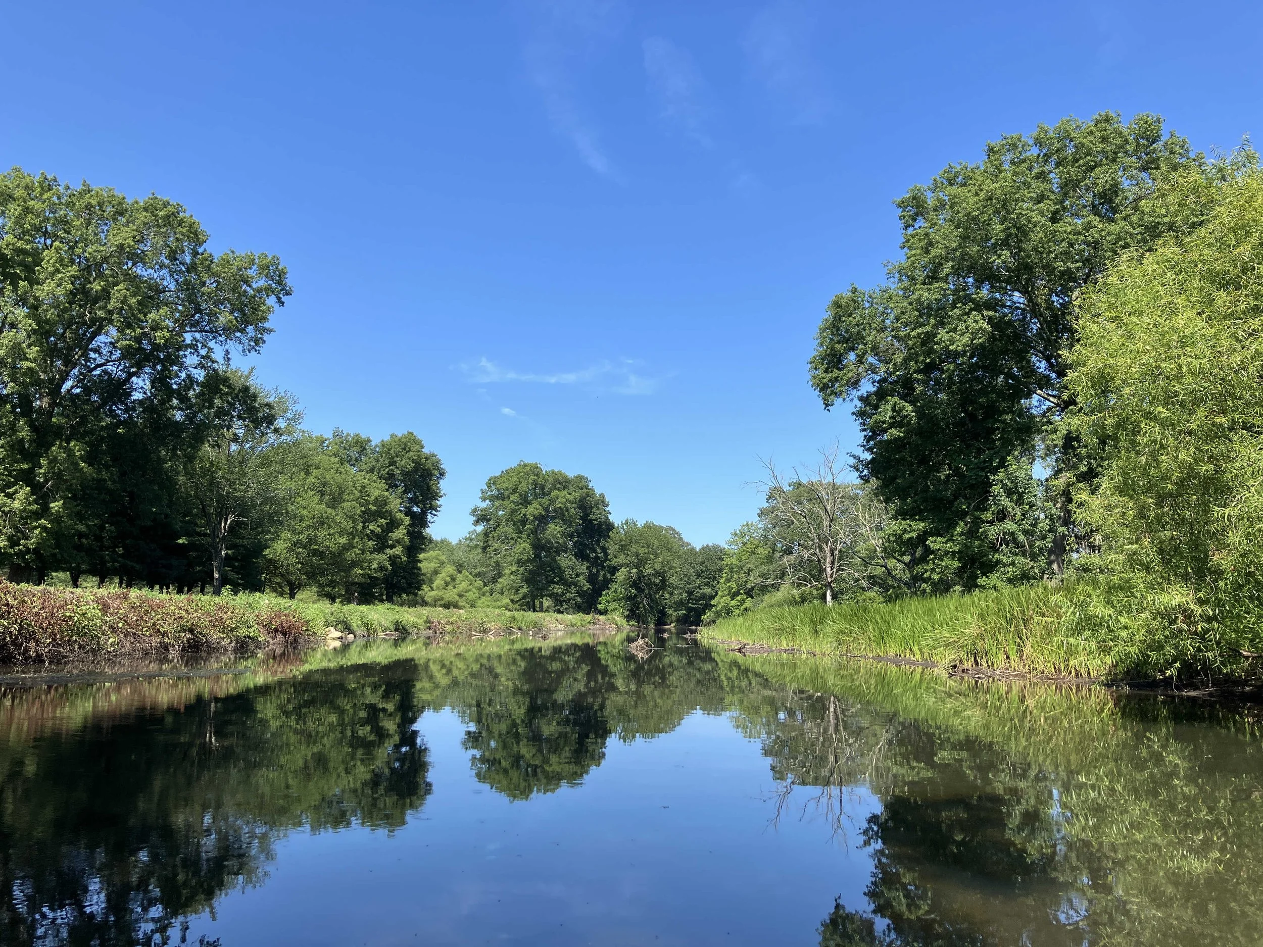
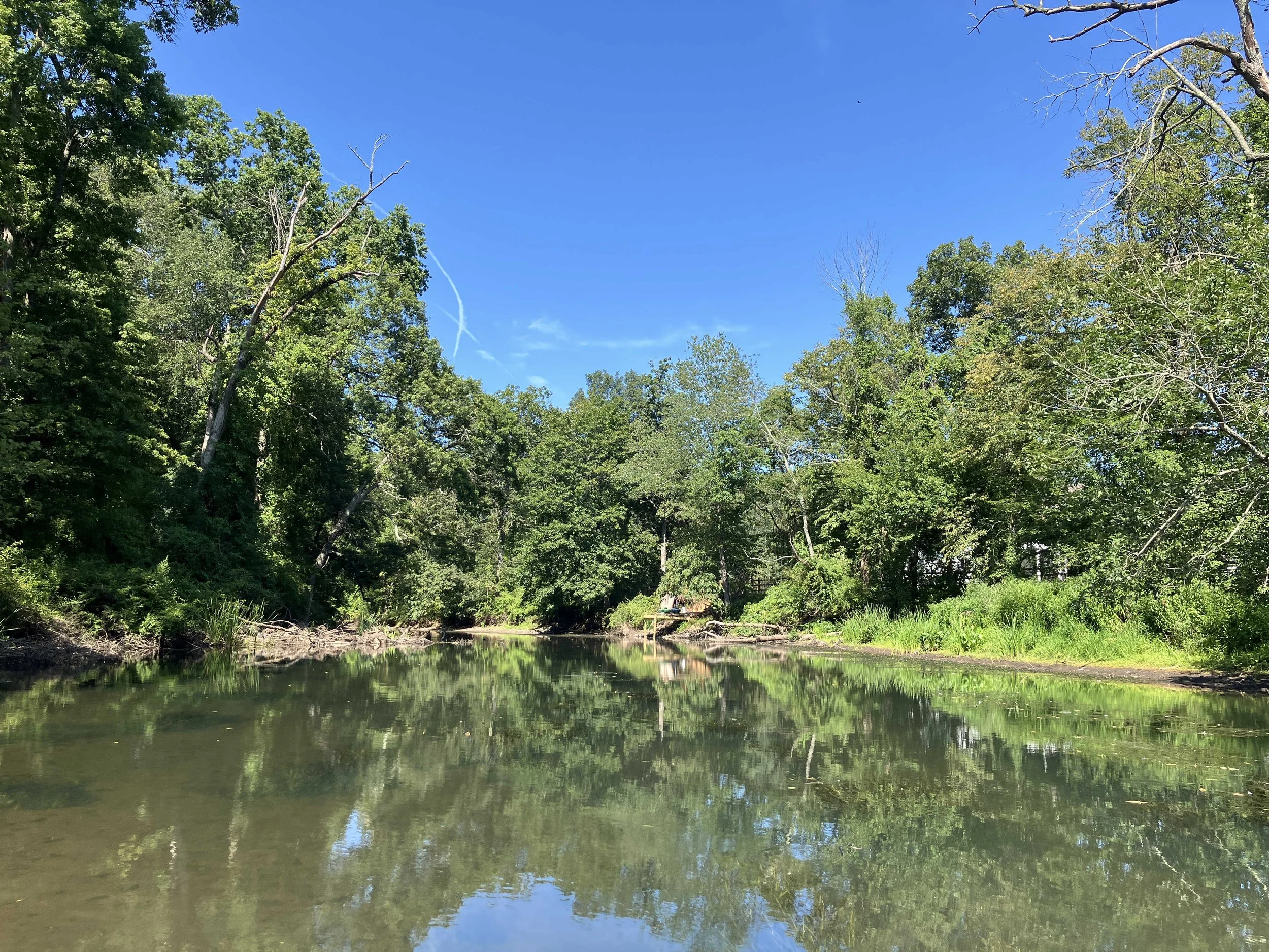
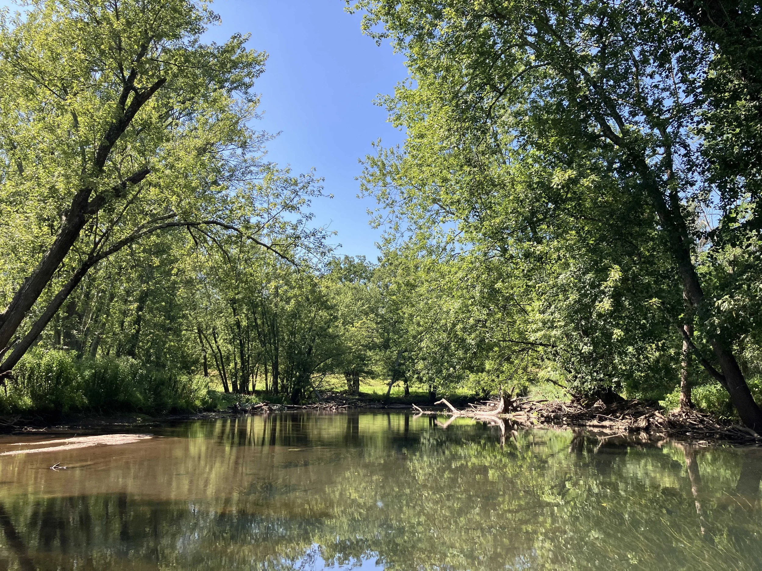
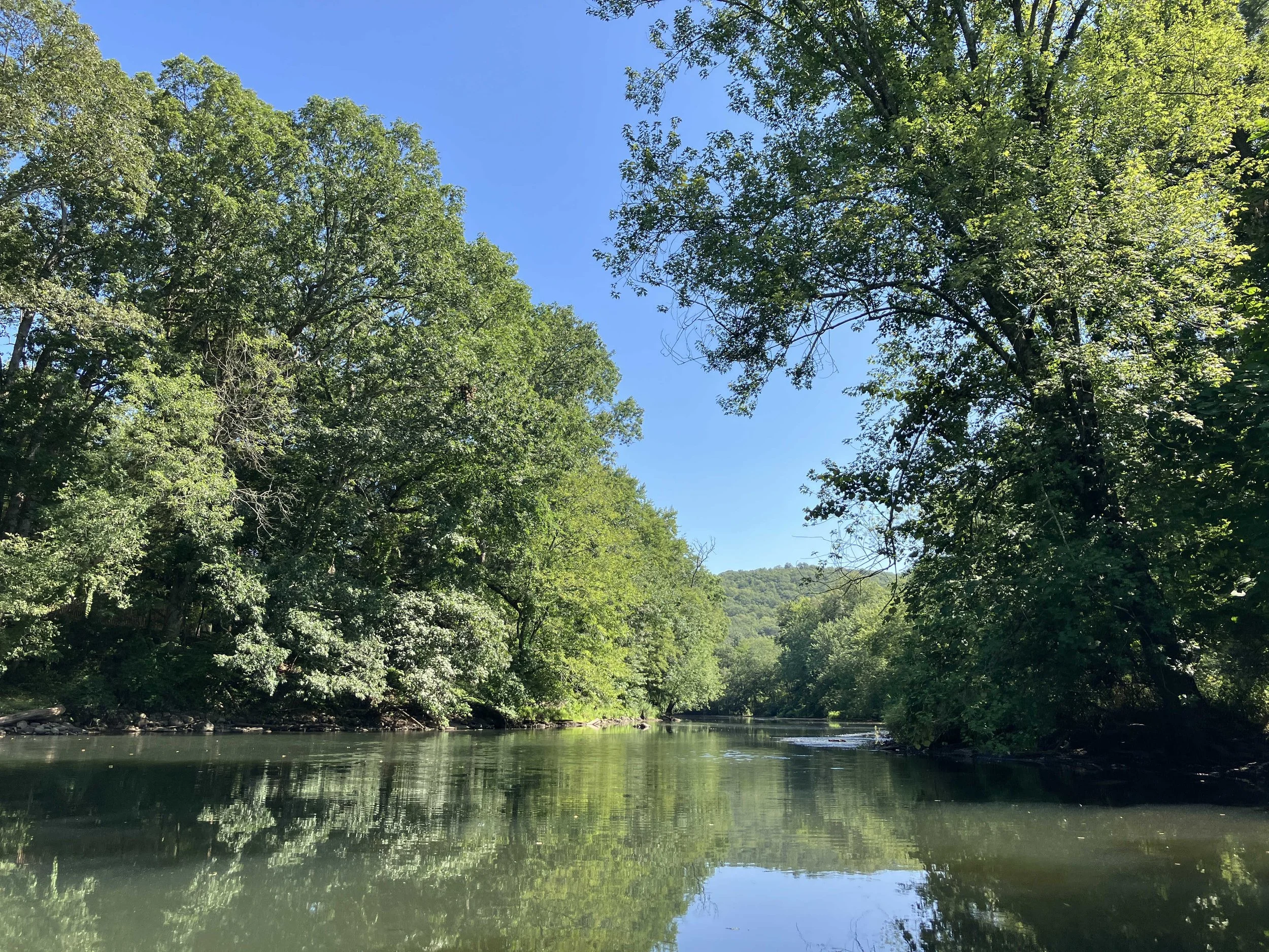
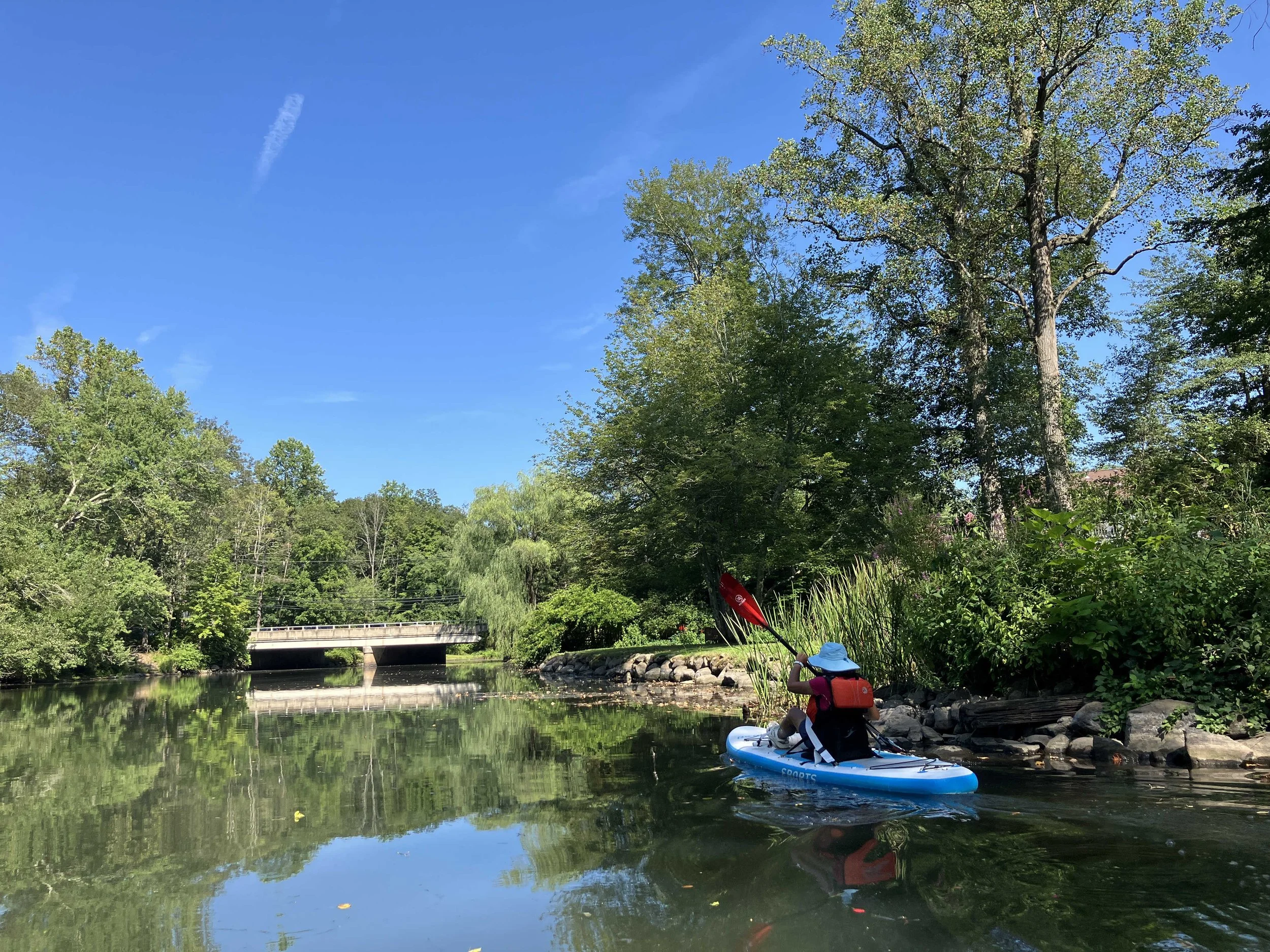
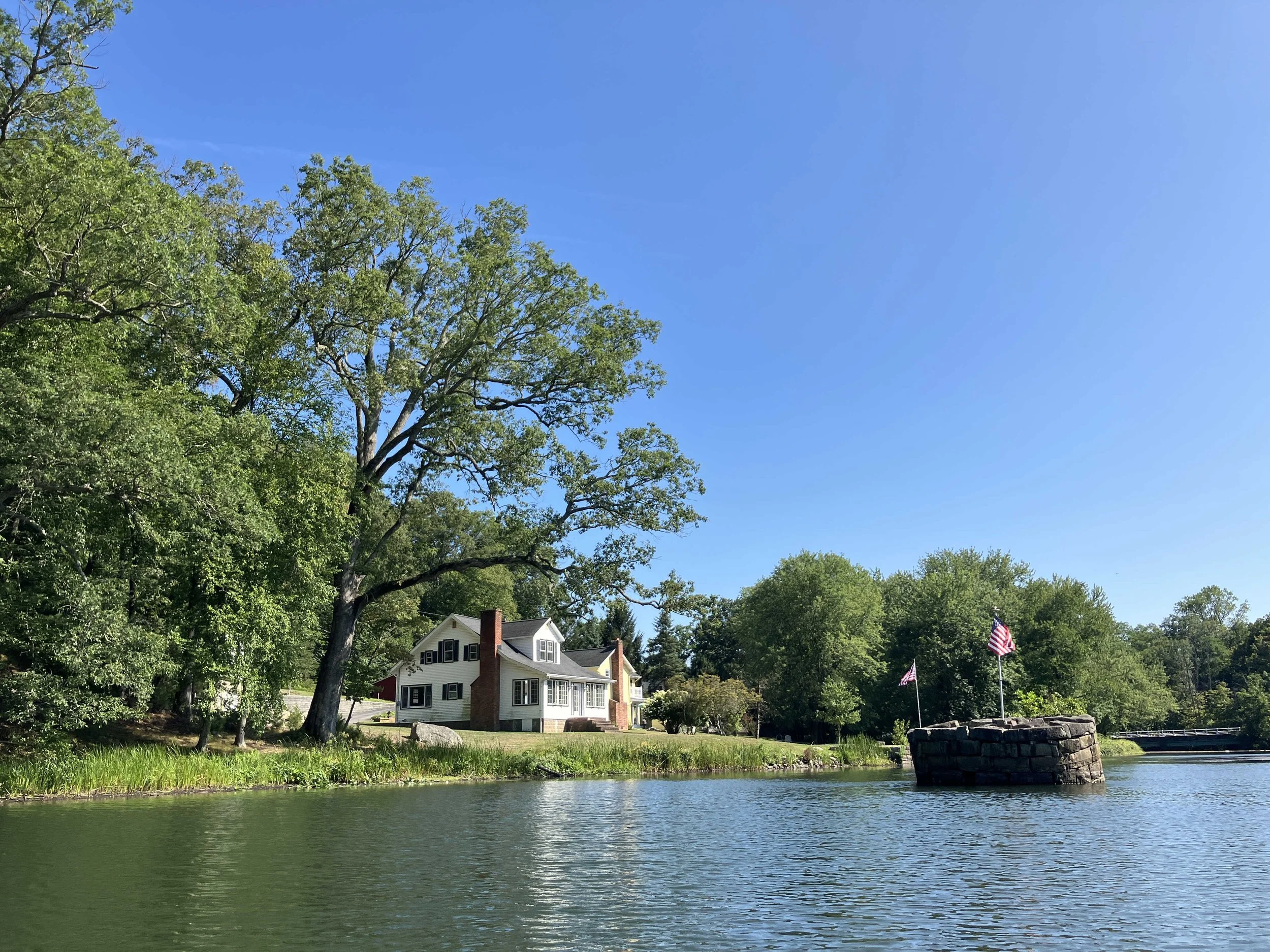
We started at Gardner Field in downtown Denville. The first mile (past the downtown area) was often shallow, but generally navigable. As the river turned north, it got deeper, but with the occasional long shallow section that needed to be walked. After Bush Road, the river turns into a lake, which goes all the way to the dam at Griffith Park in Boonton. There were no obstructions.
The river was consistently pretty. It was never truly wild, but it had a definite wilderness feel to it. The trees were nice. The water was cold and clear.
Stream Gauges
There are two stream gauges on the Rockaway River:
Rockaway River at Warren Street at Dover NJ - USGS-01379845: link
Rockaway River at Main Street at Boonton NJ - USGS-01380450: link
When we went down, the Warren Street gauge showed 1.4 feet.
References
Wikipedia, Rockaway River: link
August/2025