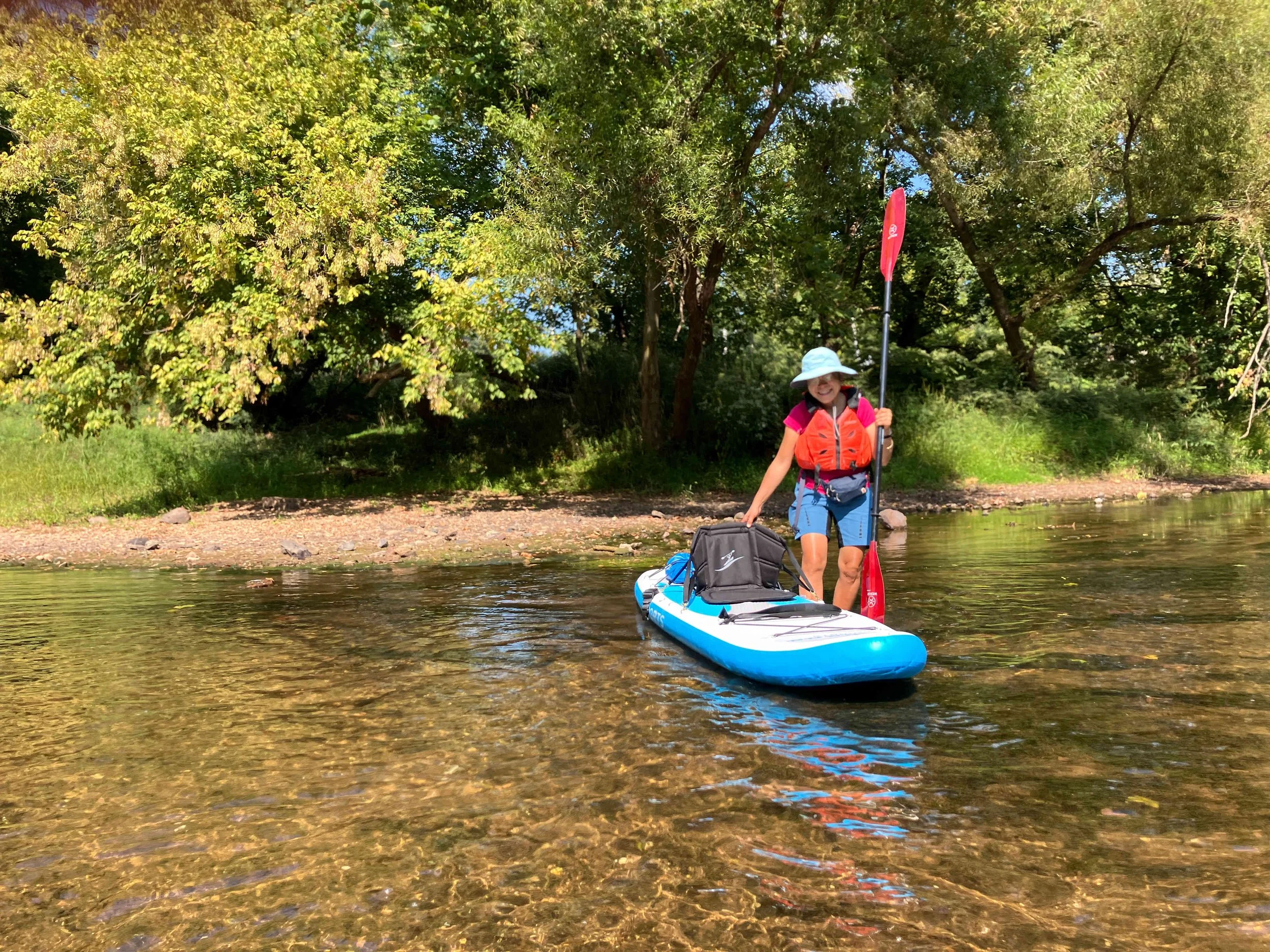
Raritan River
The Raritan River is really two rivers that combine. The South Branch is navigable from Clinton down, while the North Branch is navigable from the Easton Turnpike Bridge down.
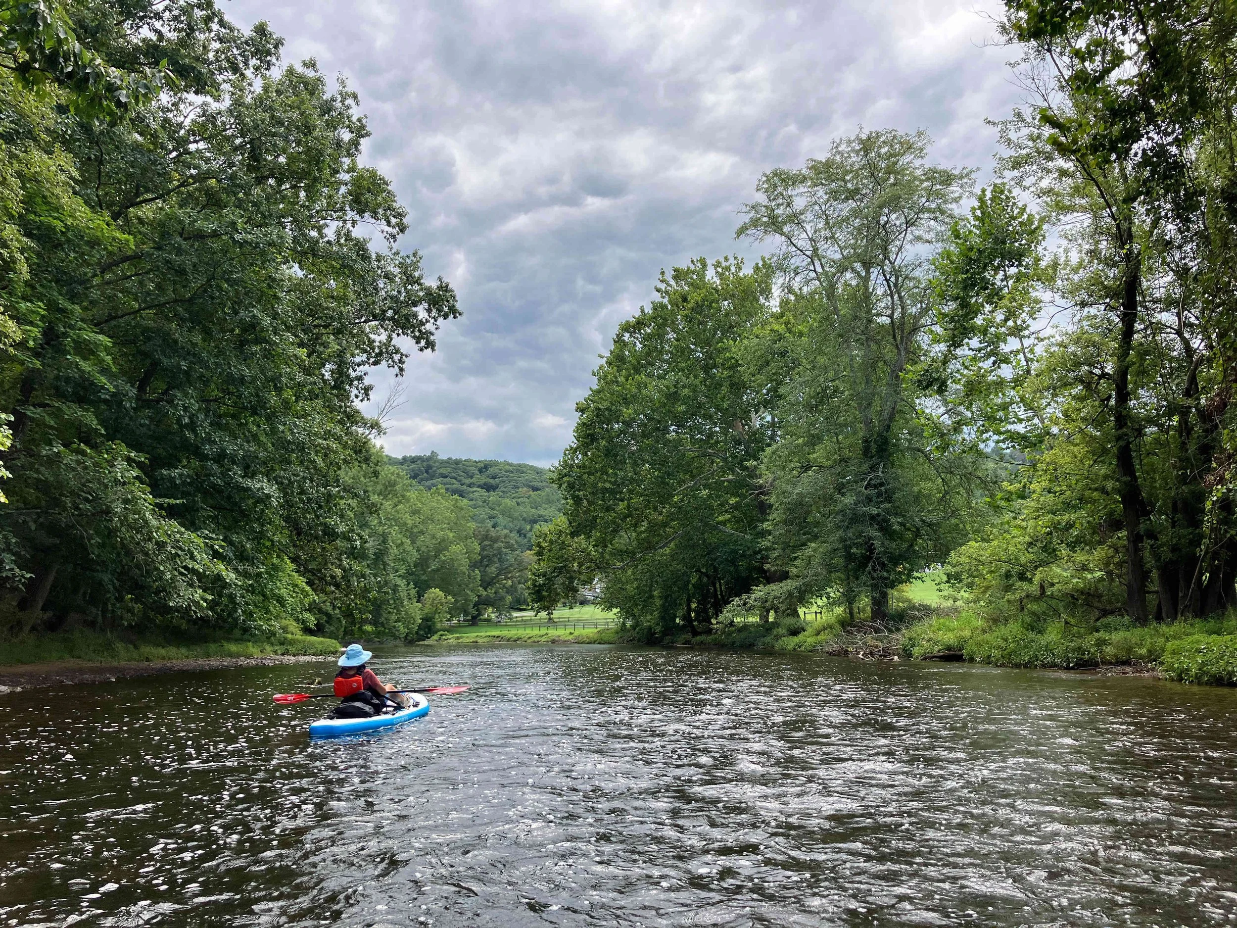
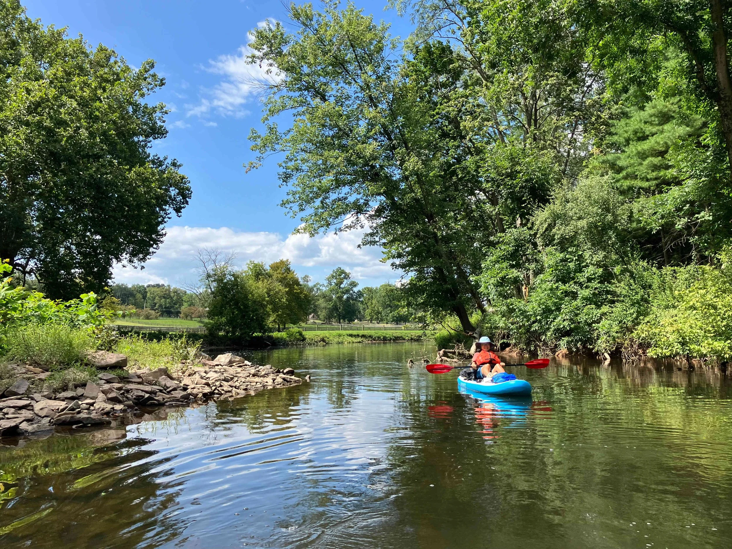
Raritan River #1: Clinton to Stanton Station Road
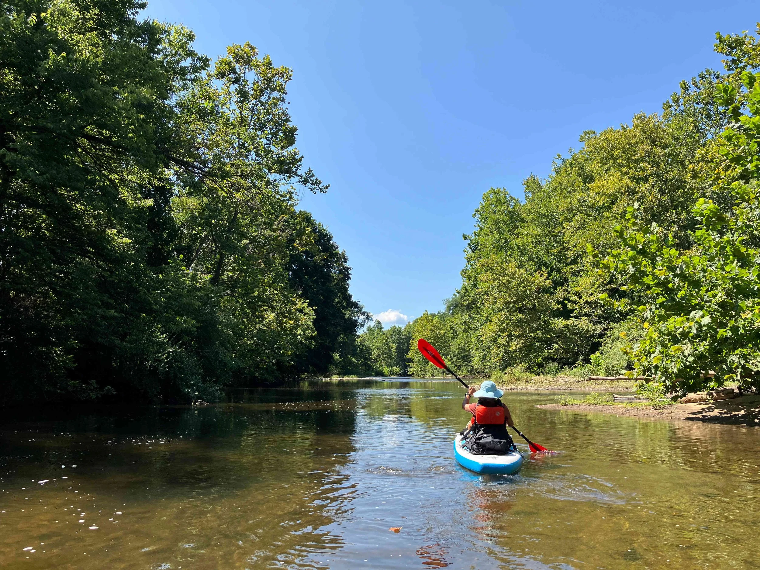
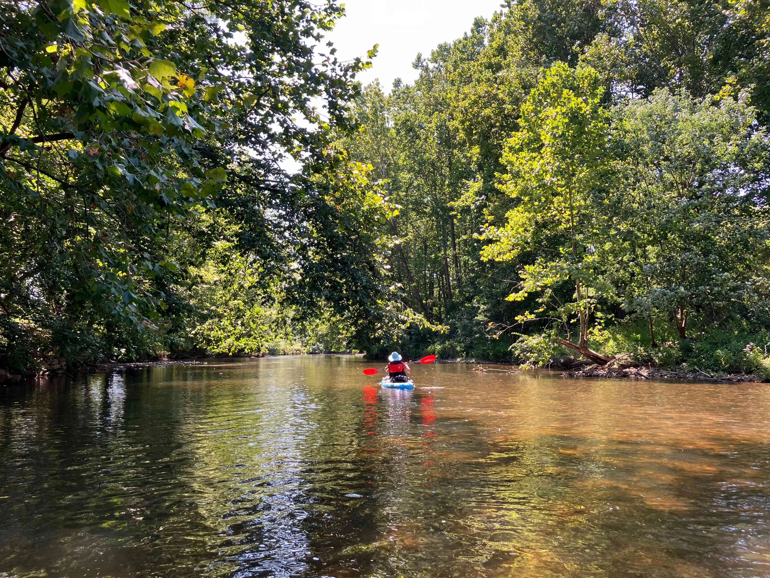
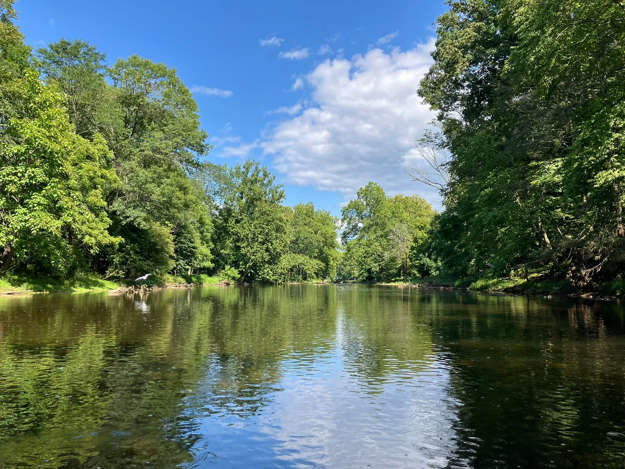
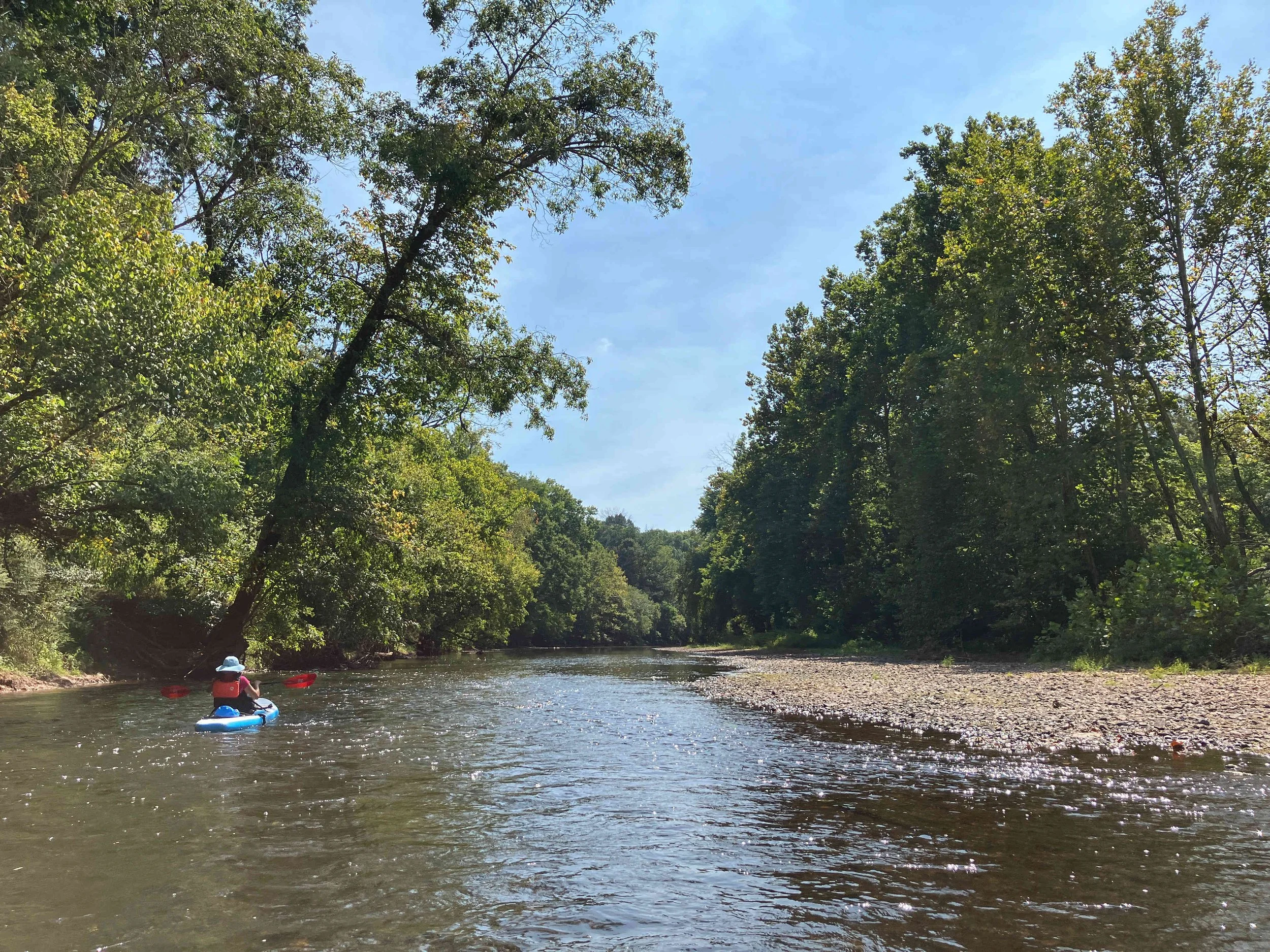
This section of the South Branch of the Raritan River is very beautiful. There are a few obstructions and some rapids, but nothing too serious.
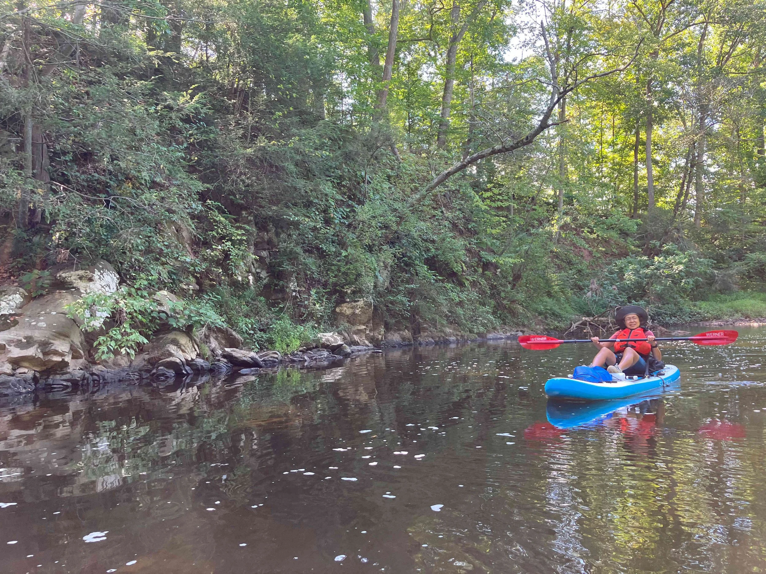
Raritan River #2: Easton Turnpike to Downtown Raritan
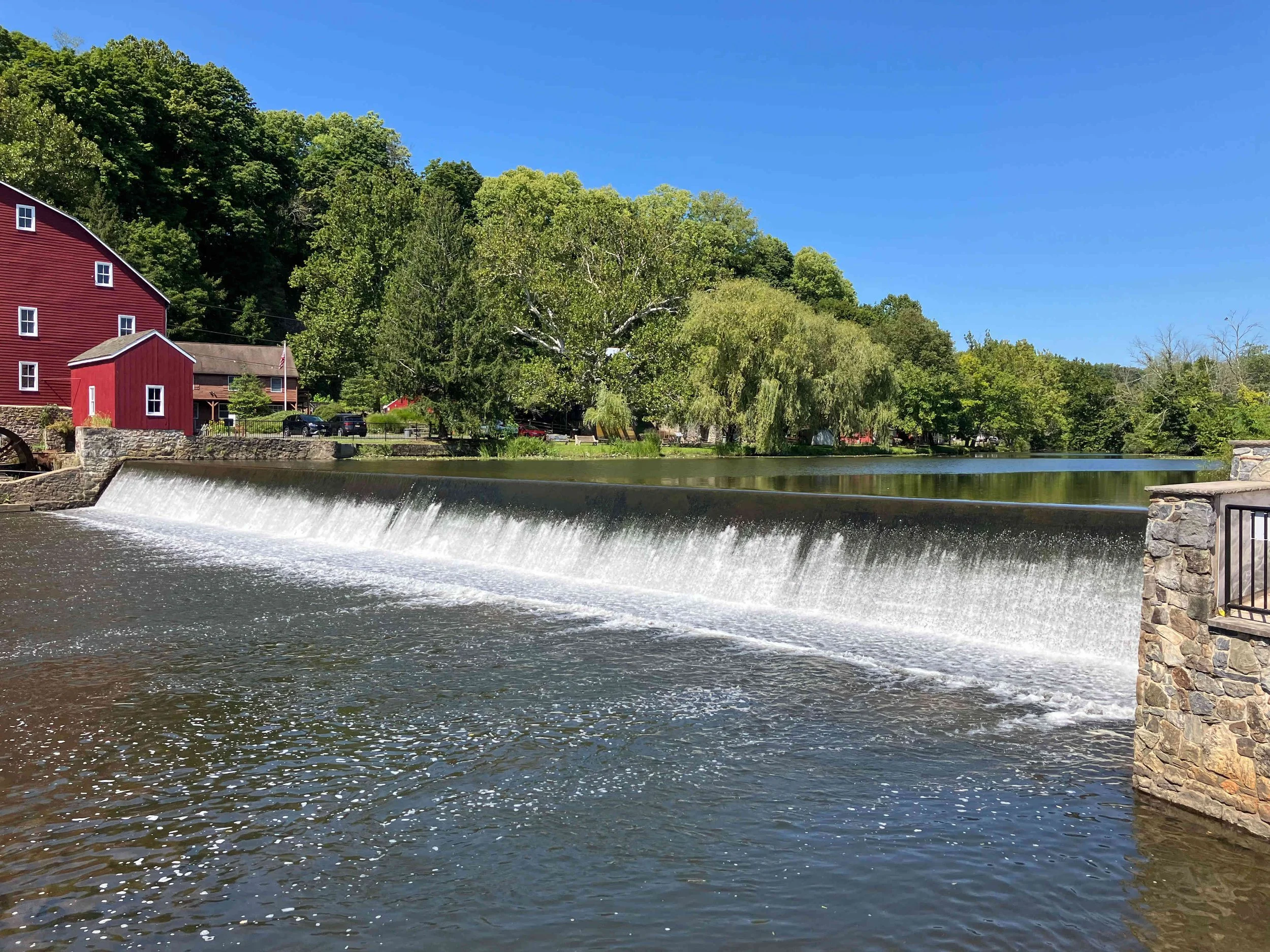
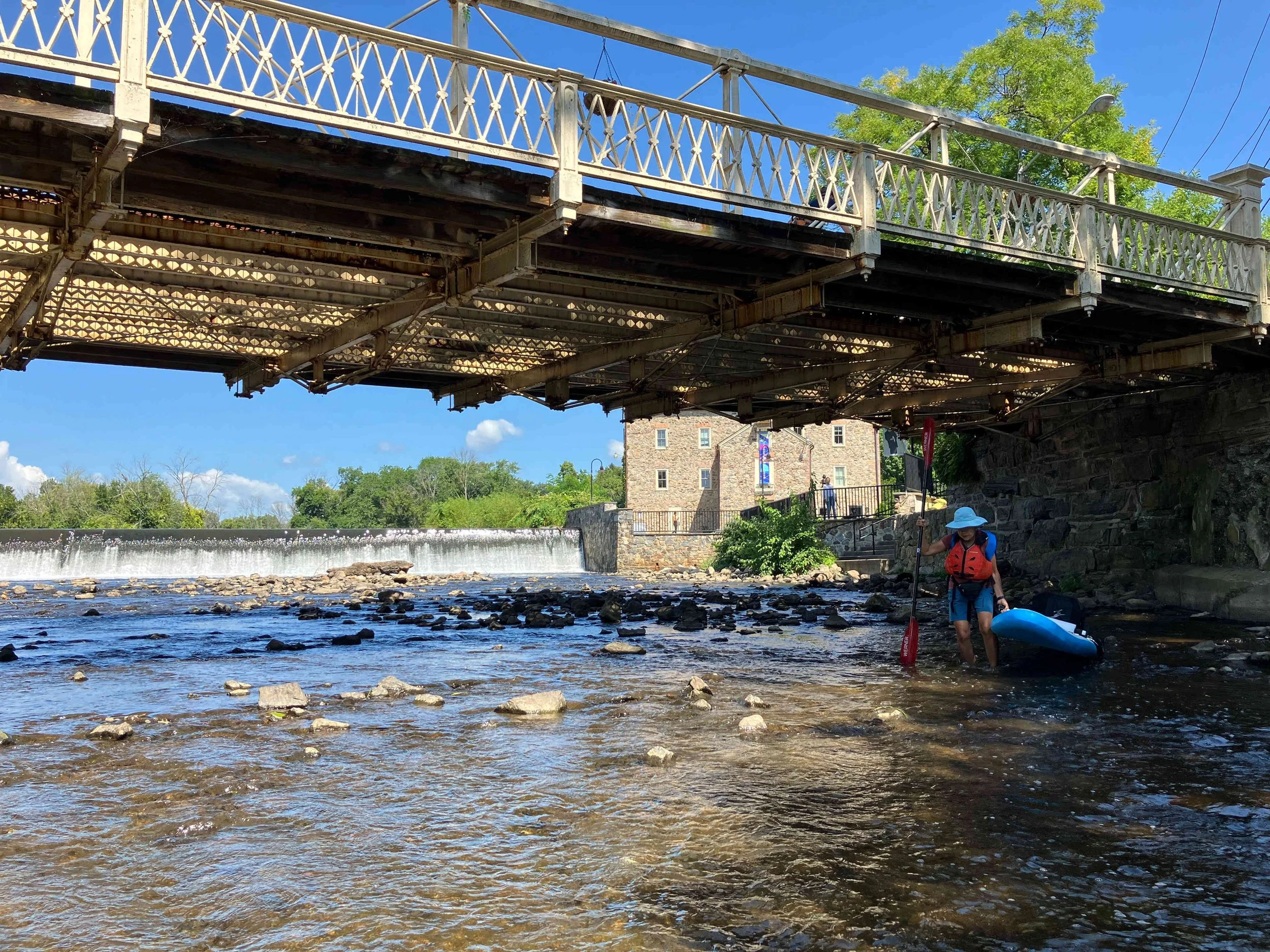
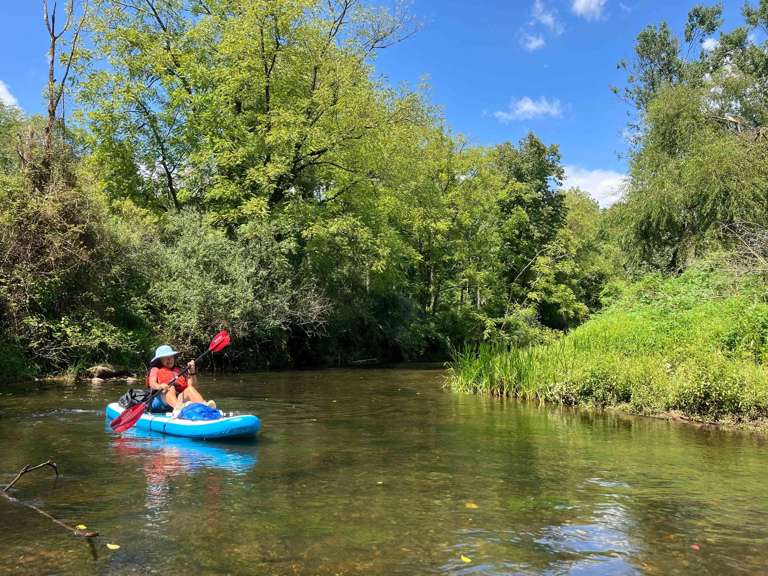
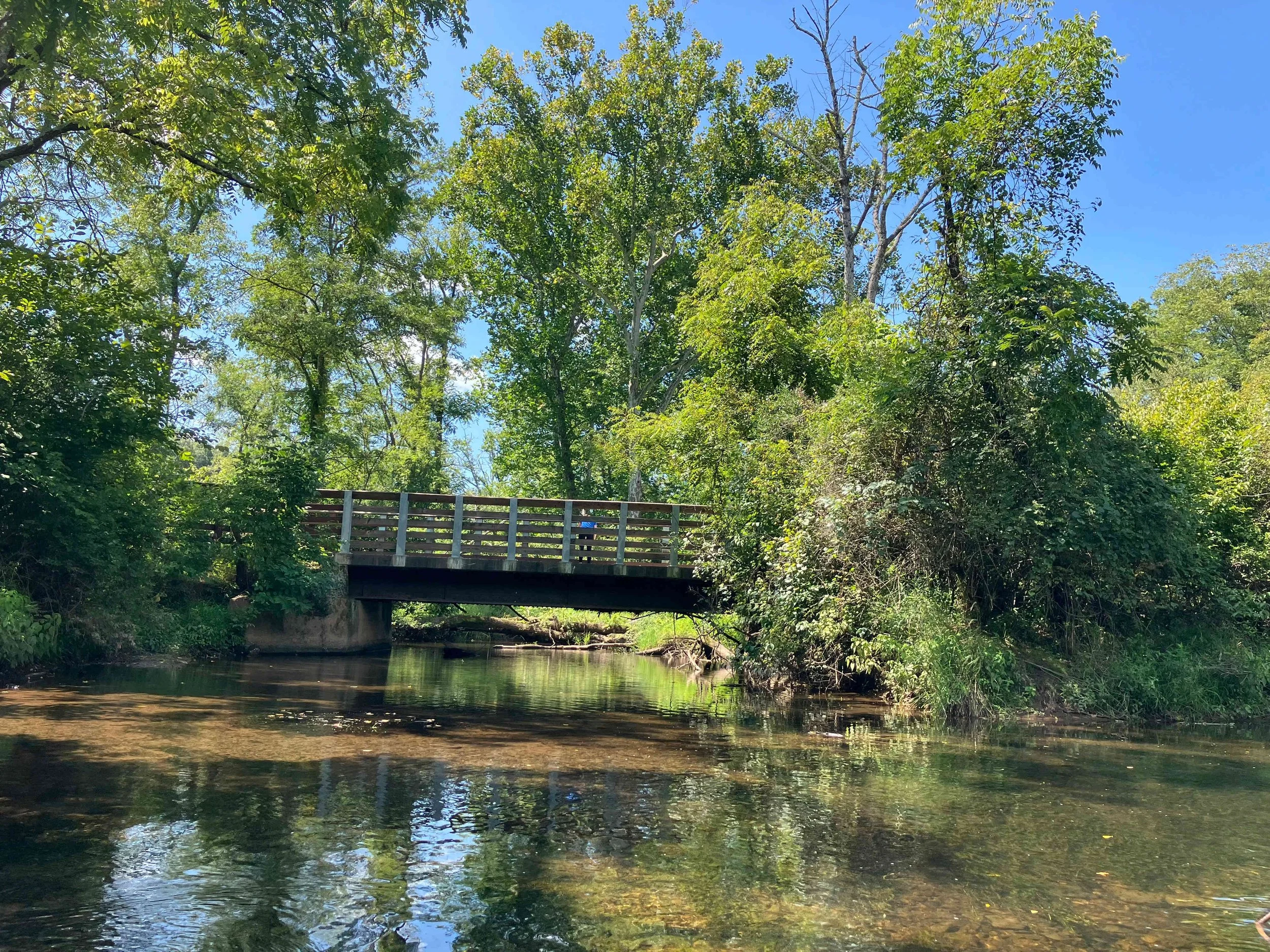
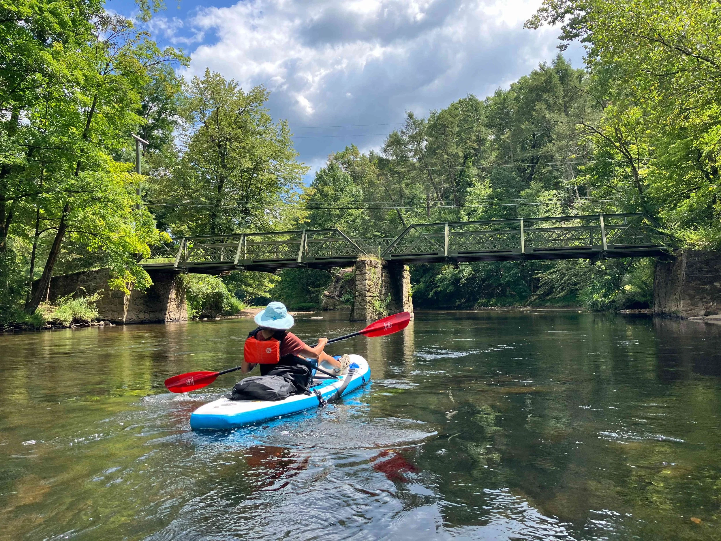
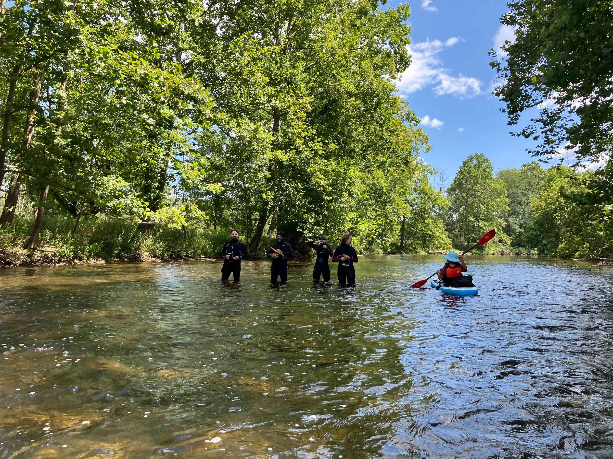
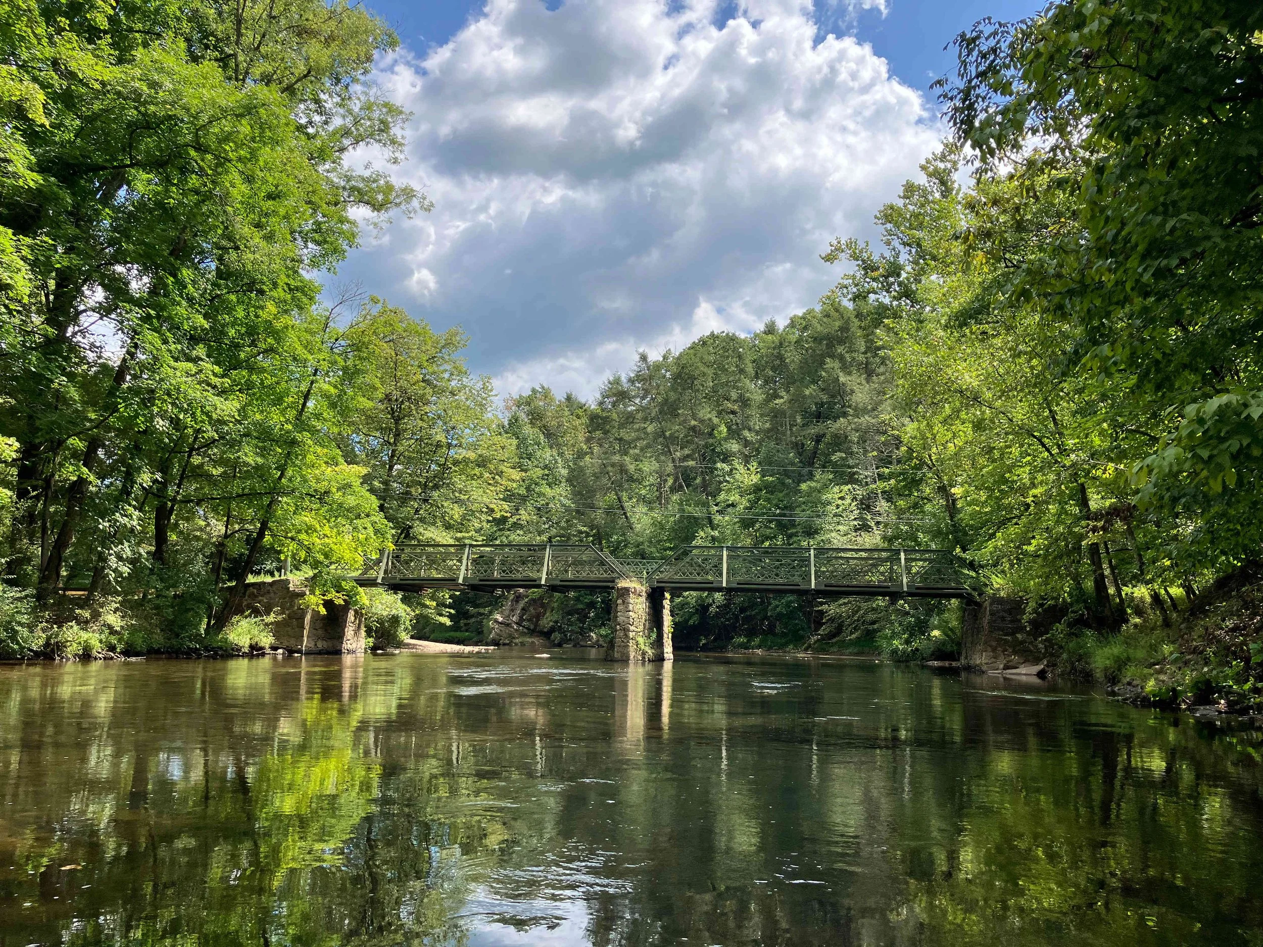
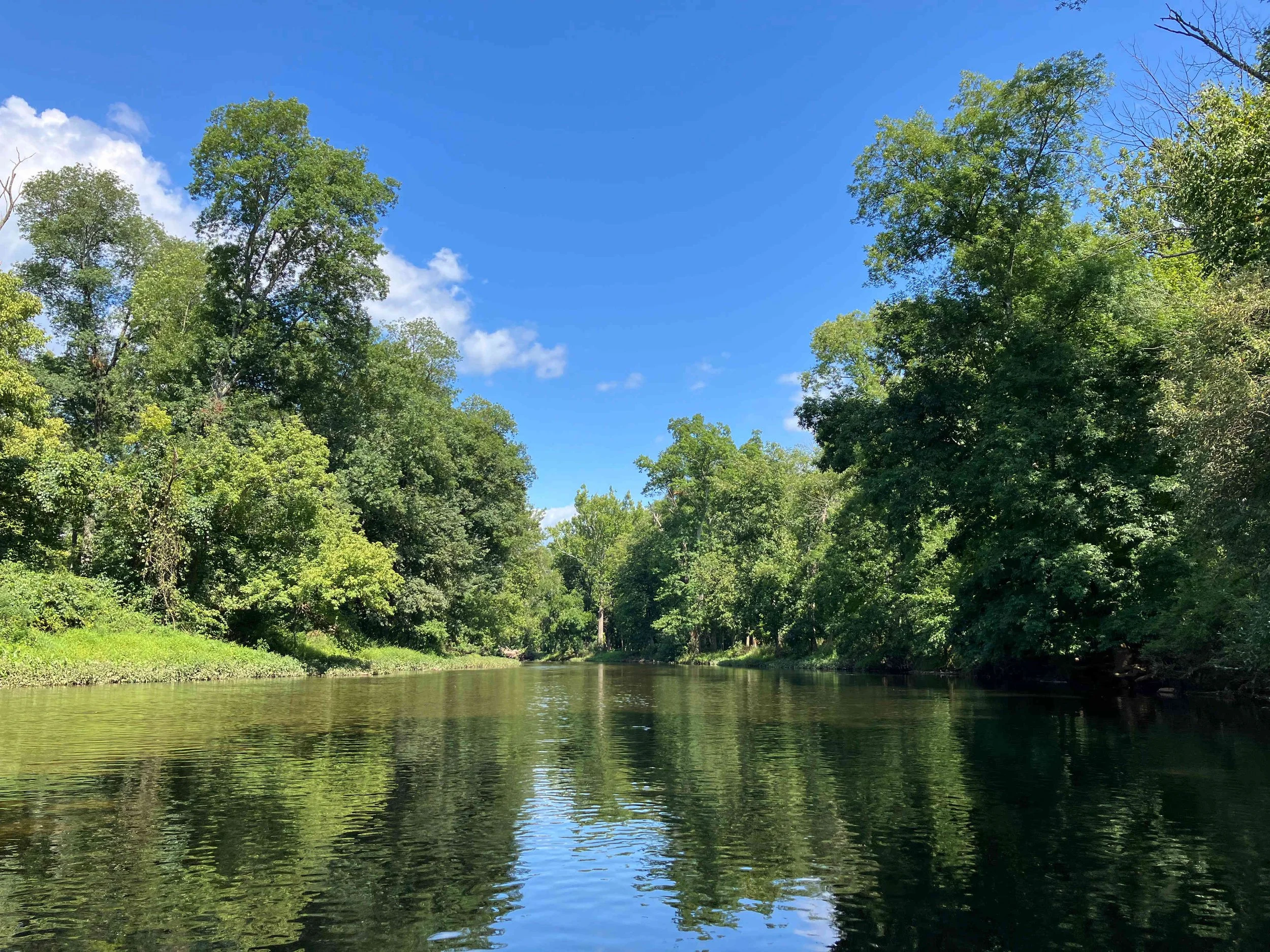
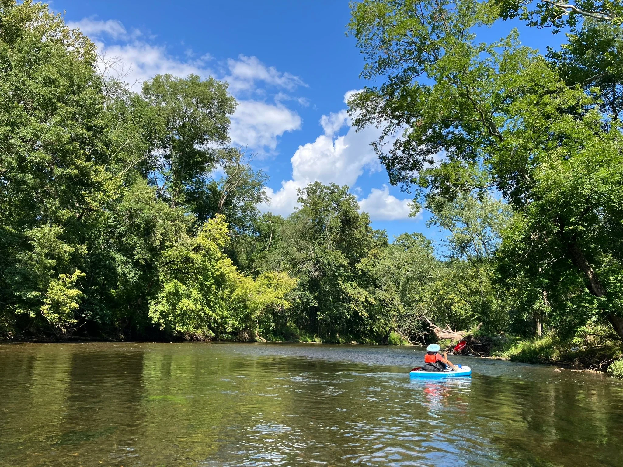
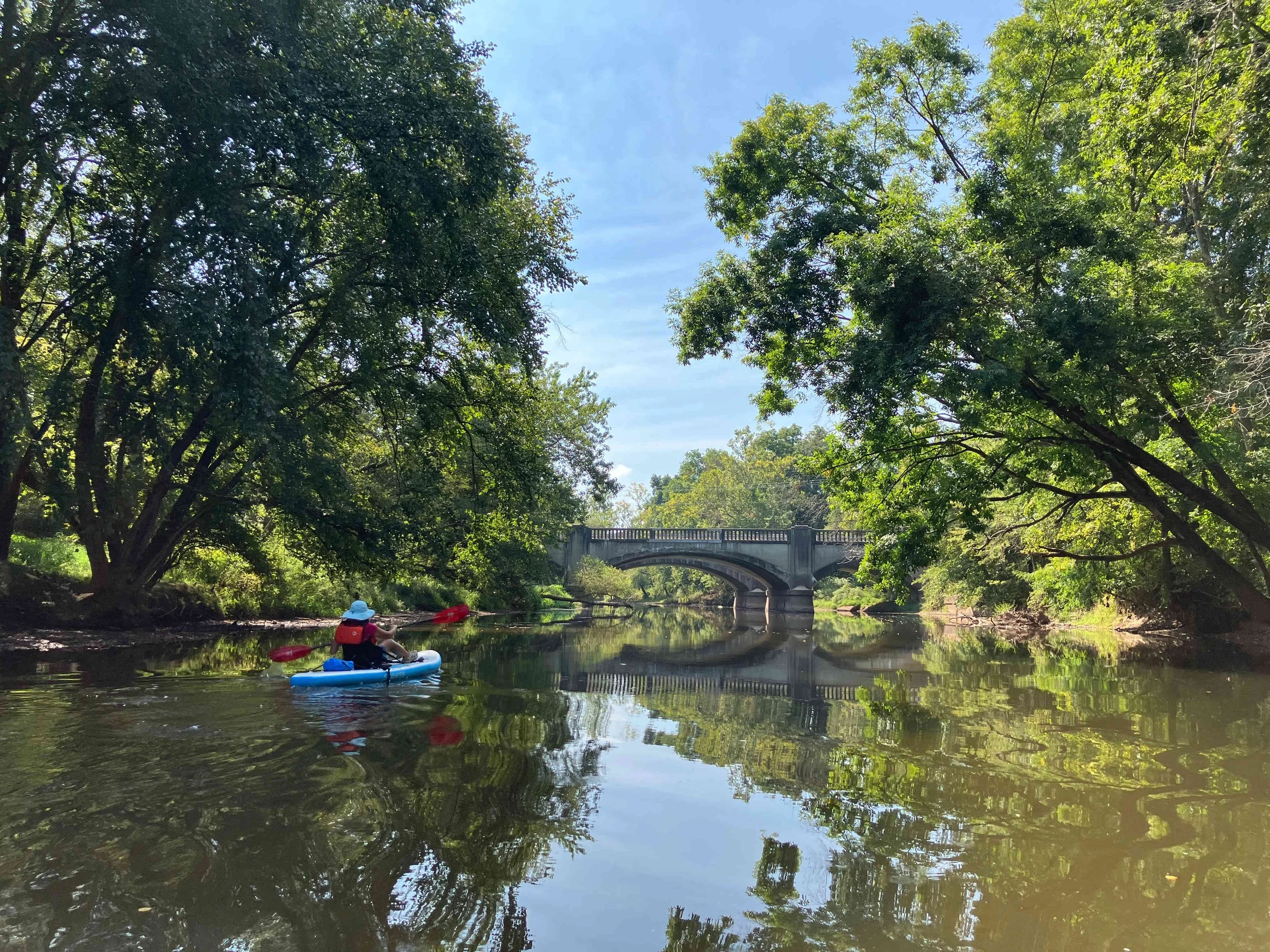
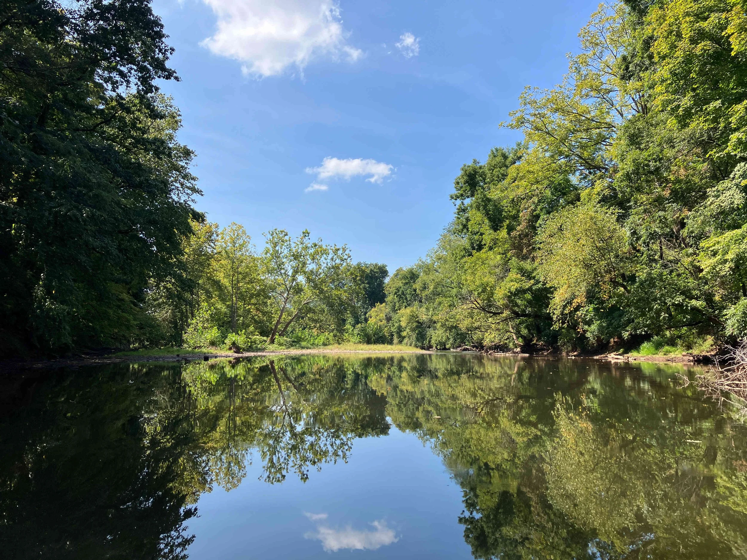
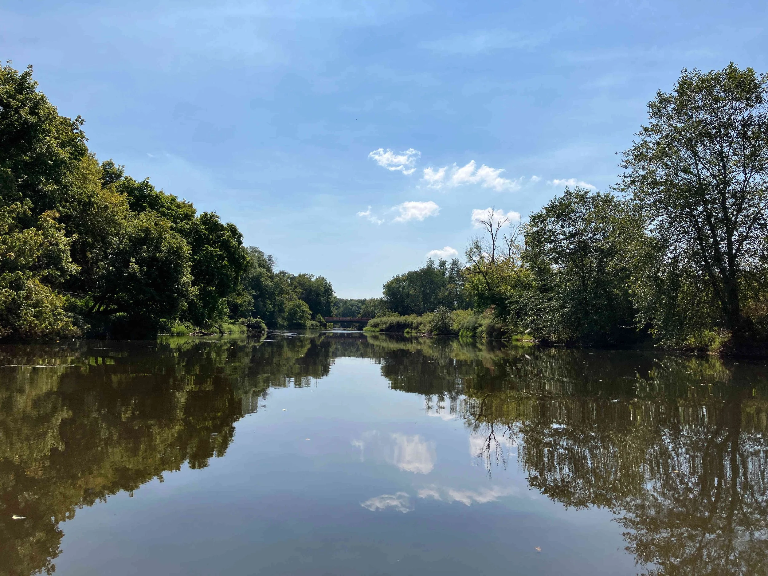
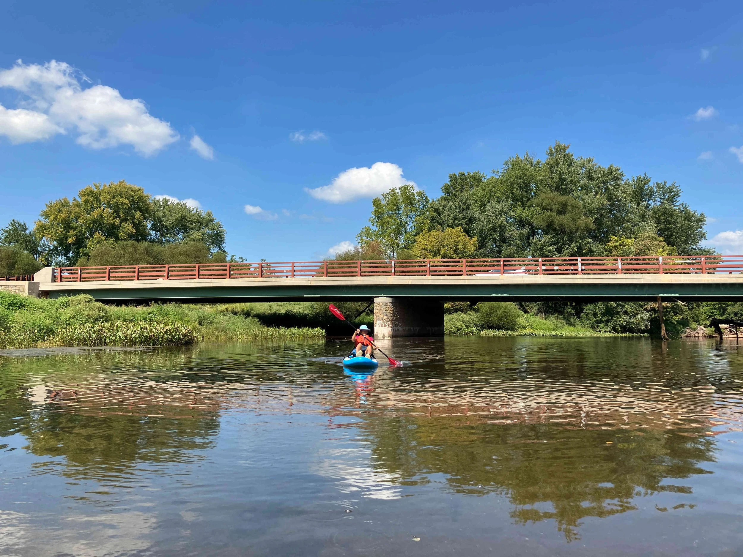
This section of the North Branch of the Raritan River is pretty. There are few obstructions, but two dams, and the occasional shallow water.

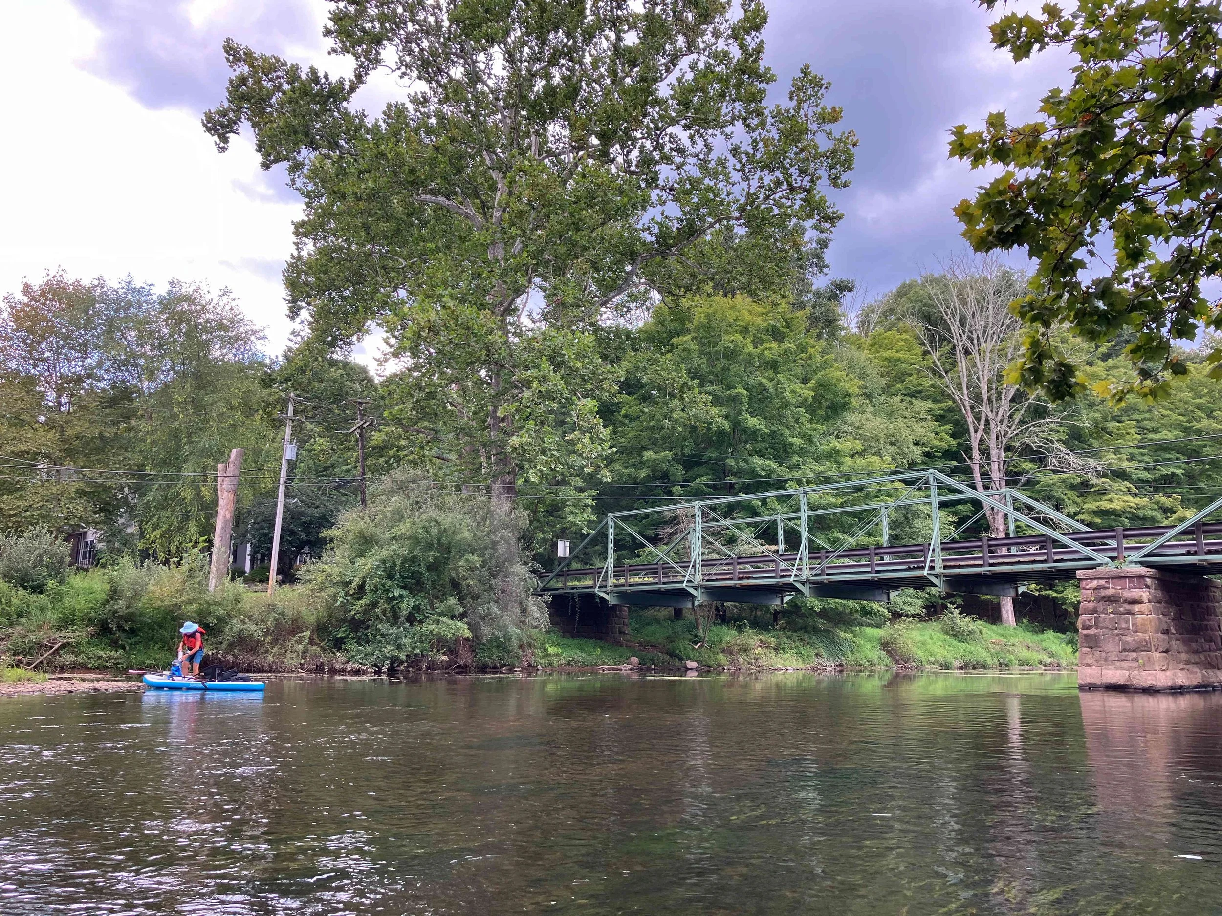
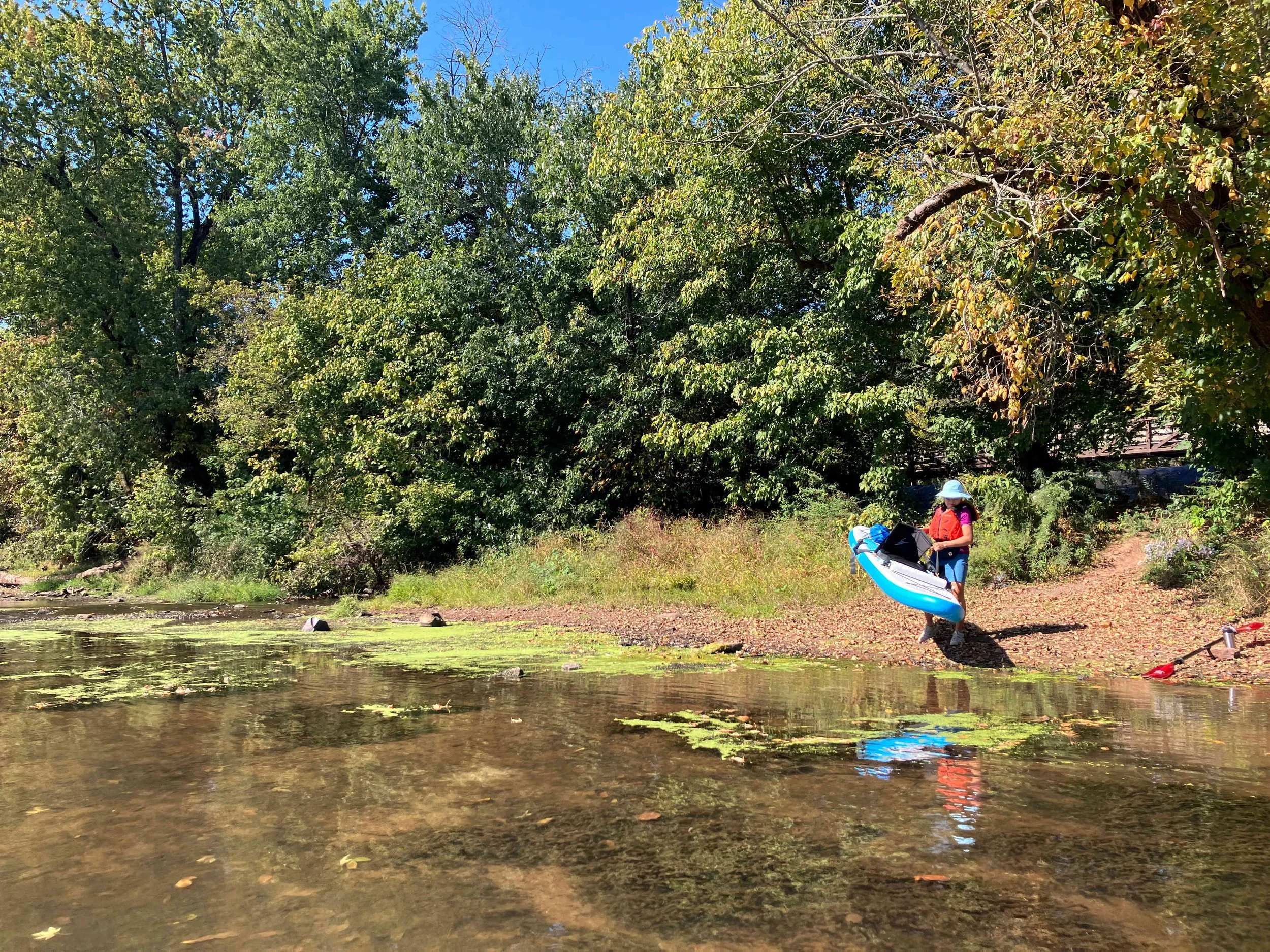
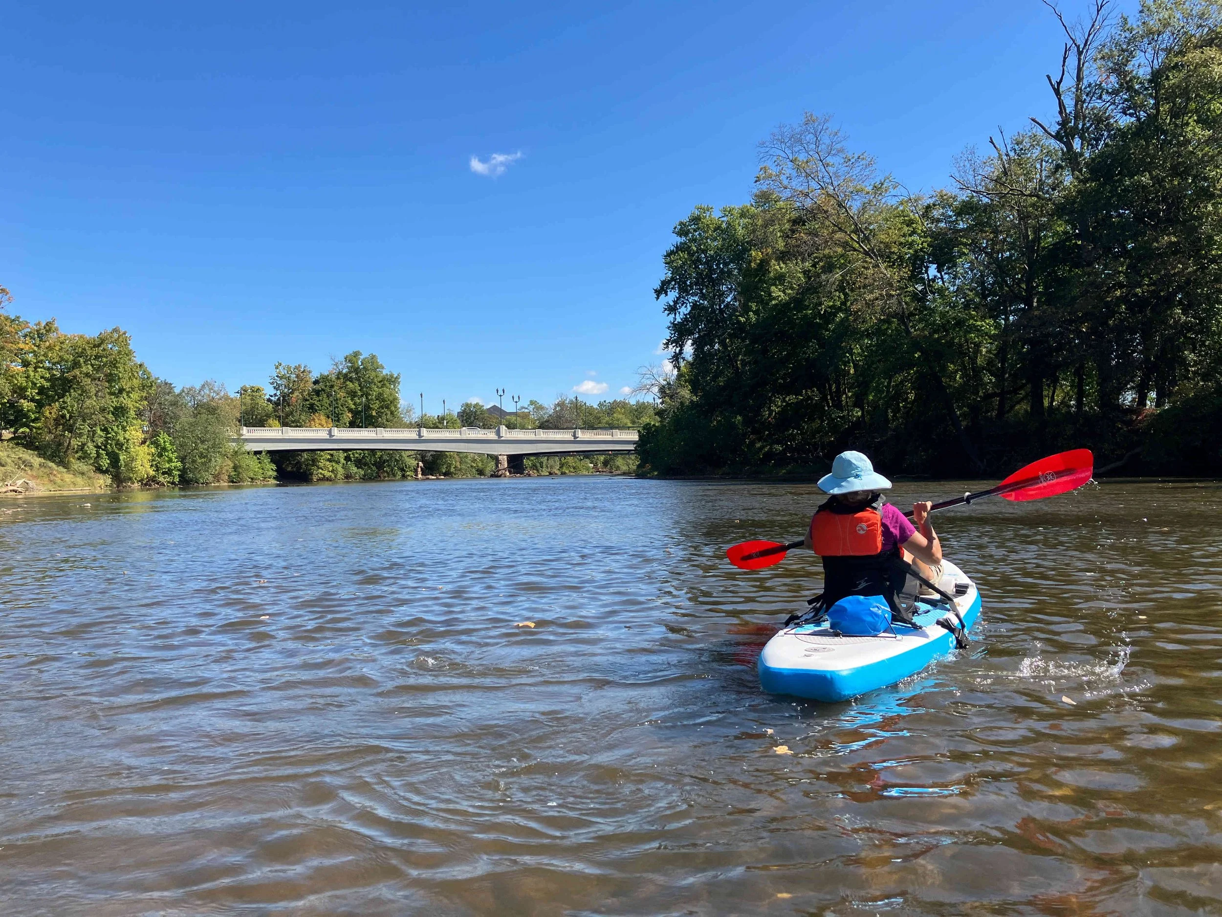
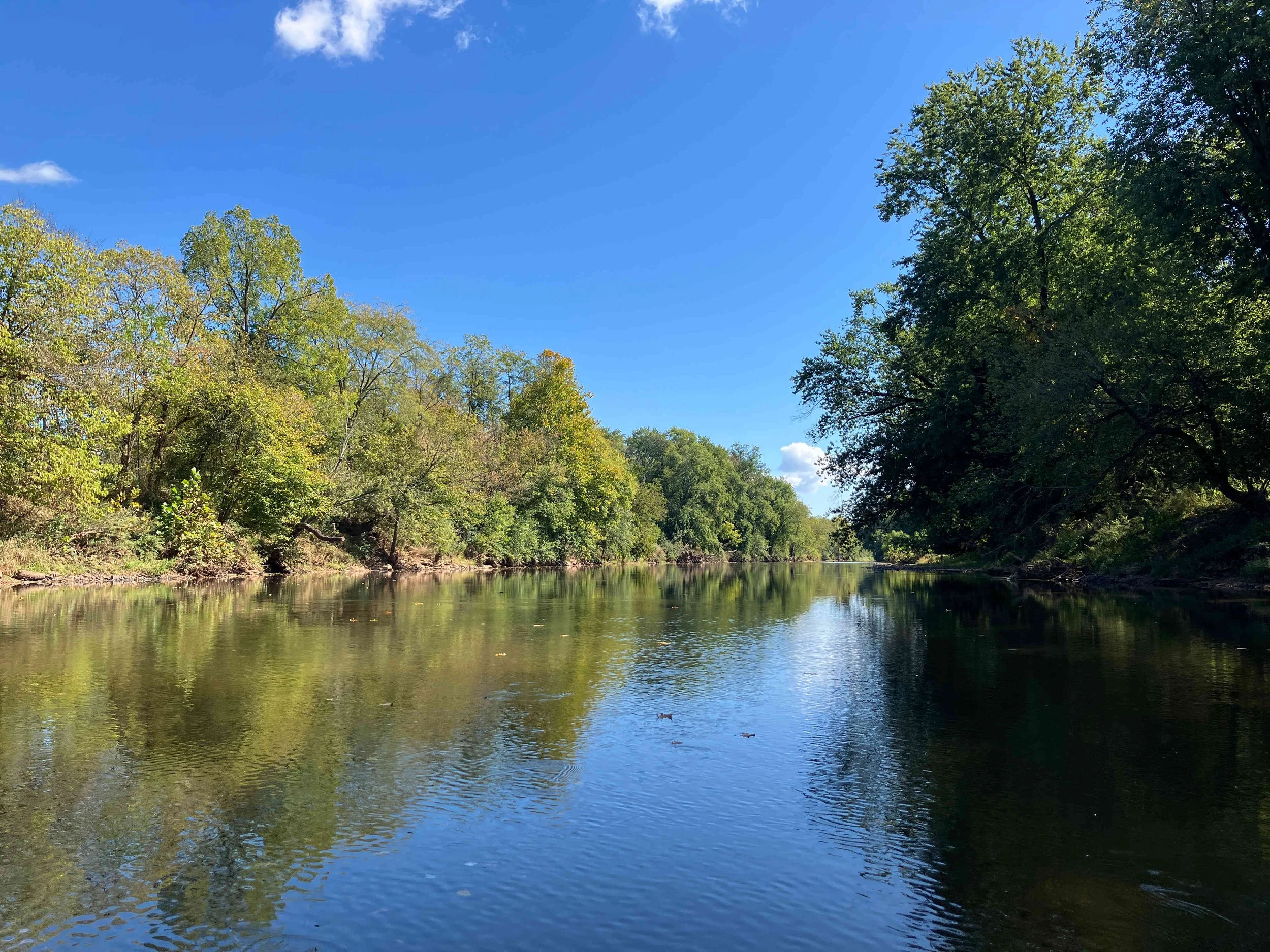
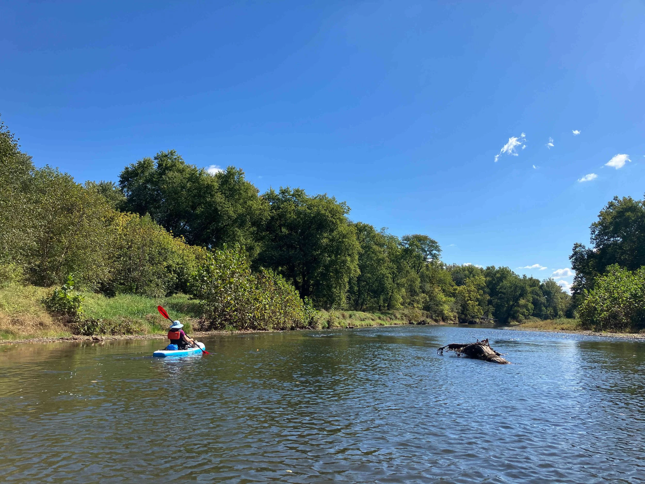
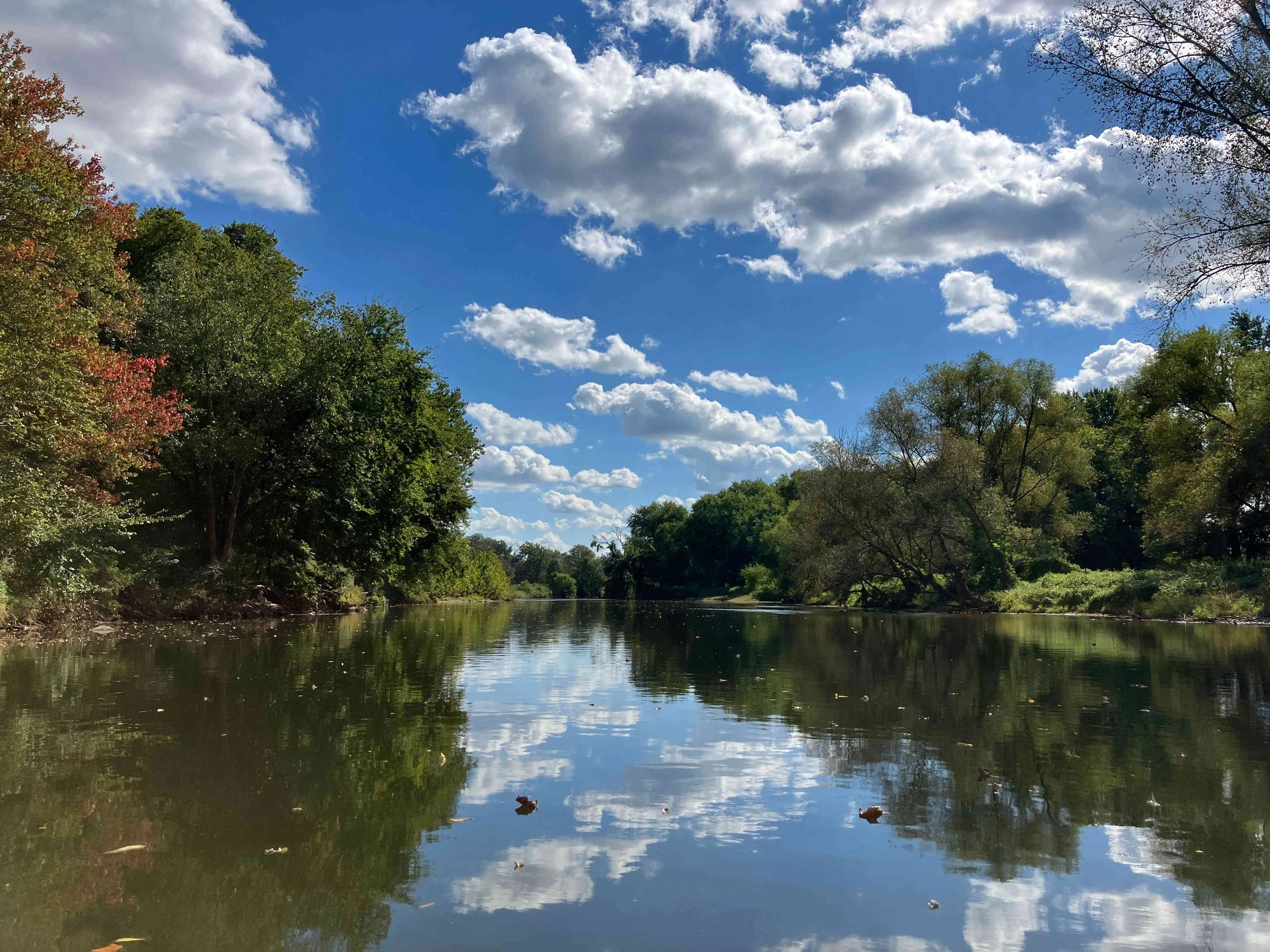
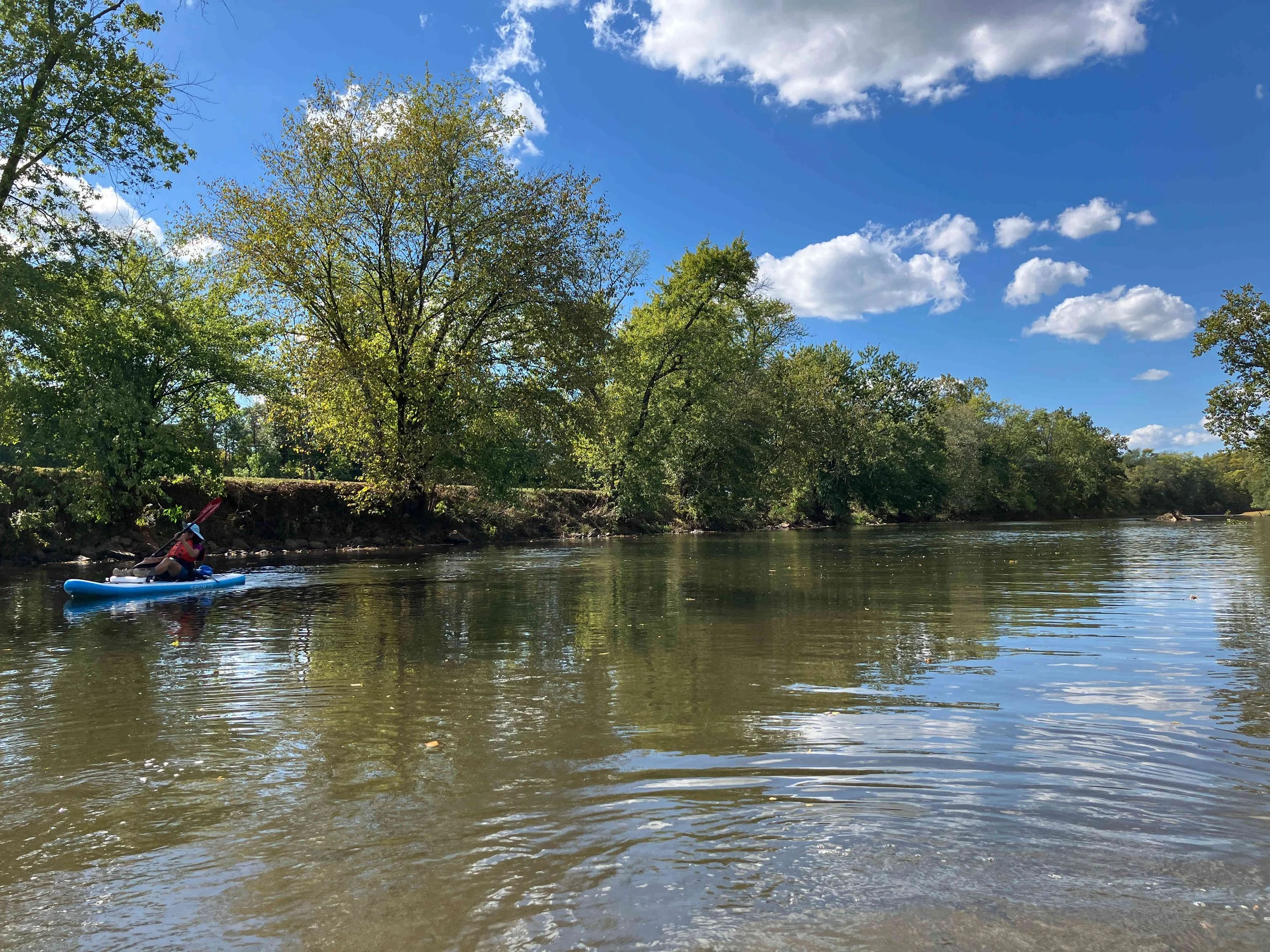
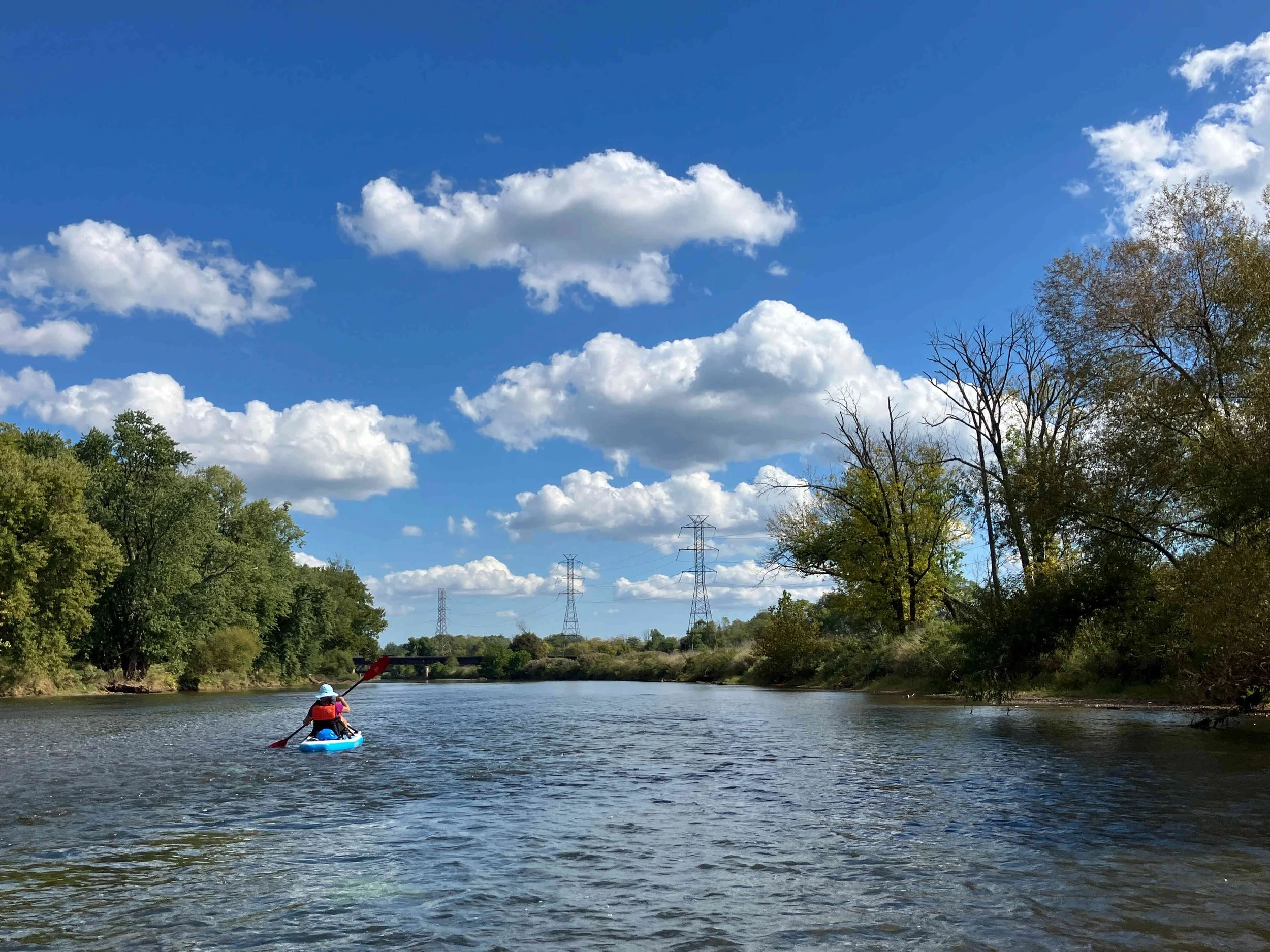
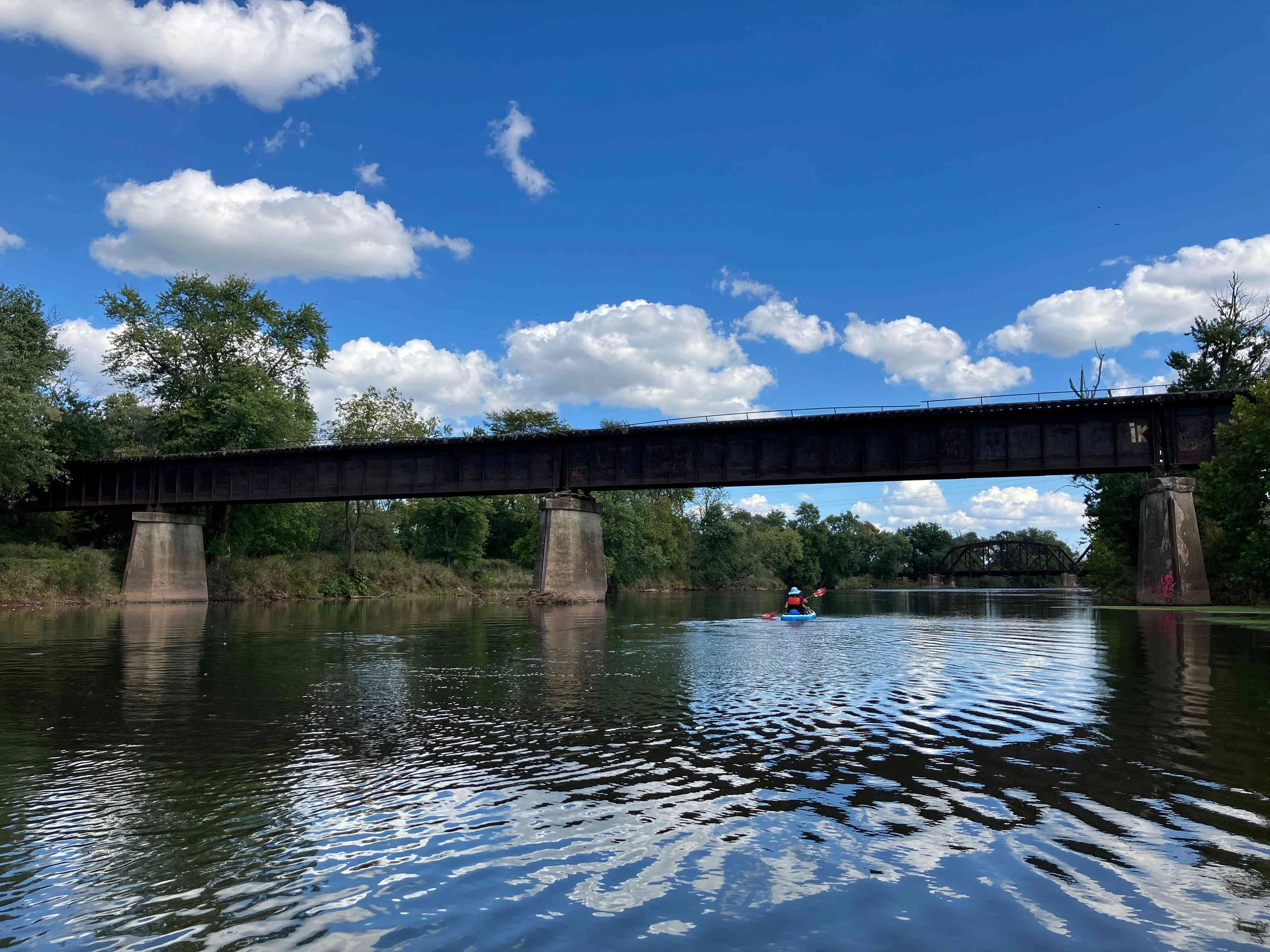
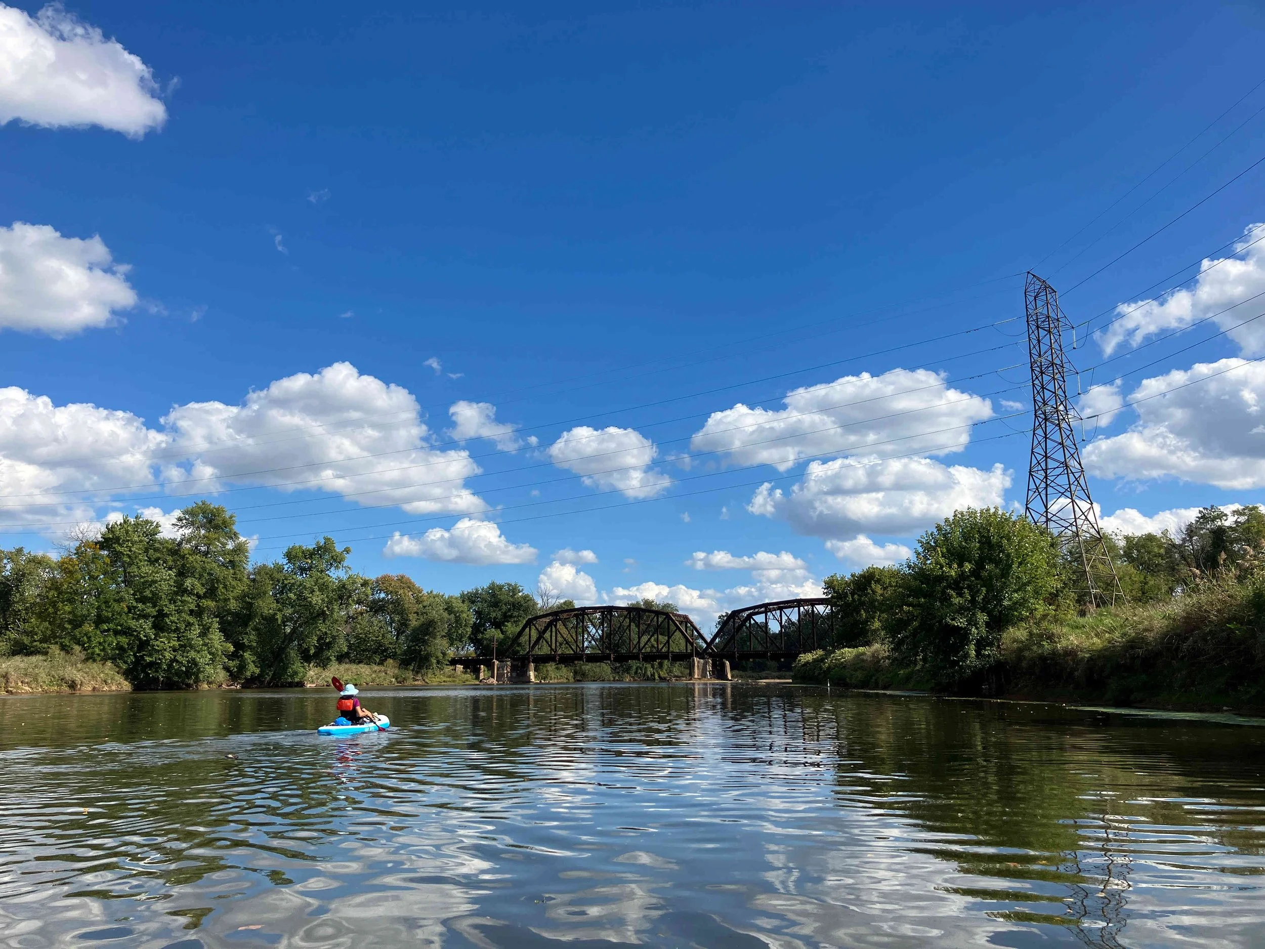
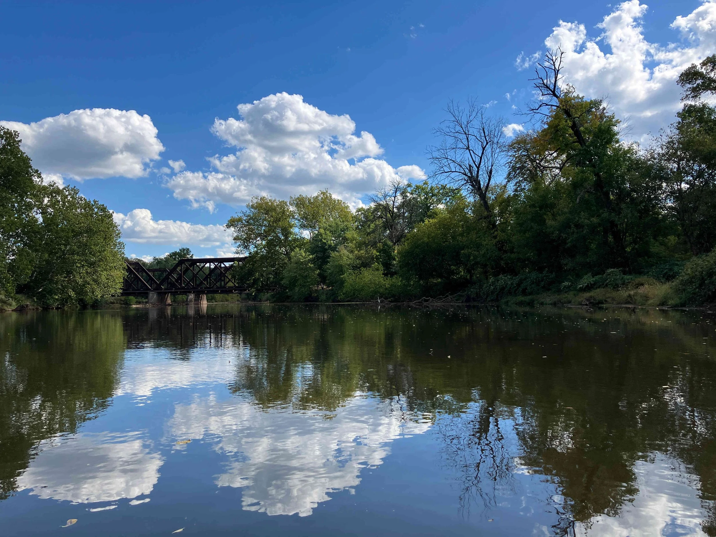
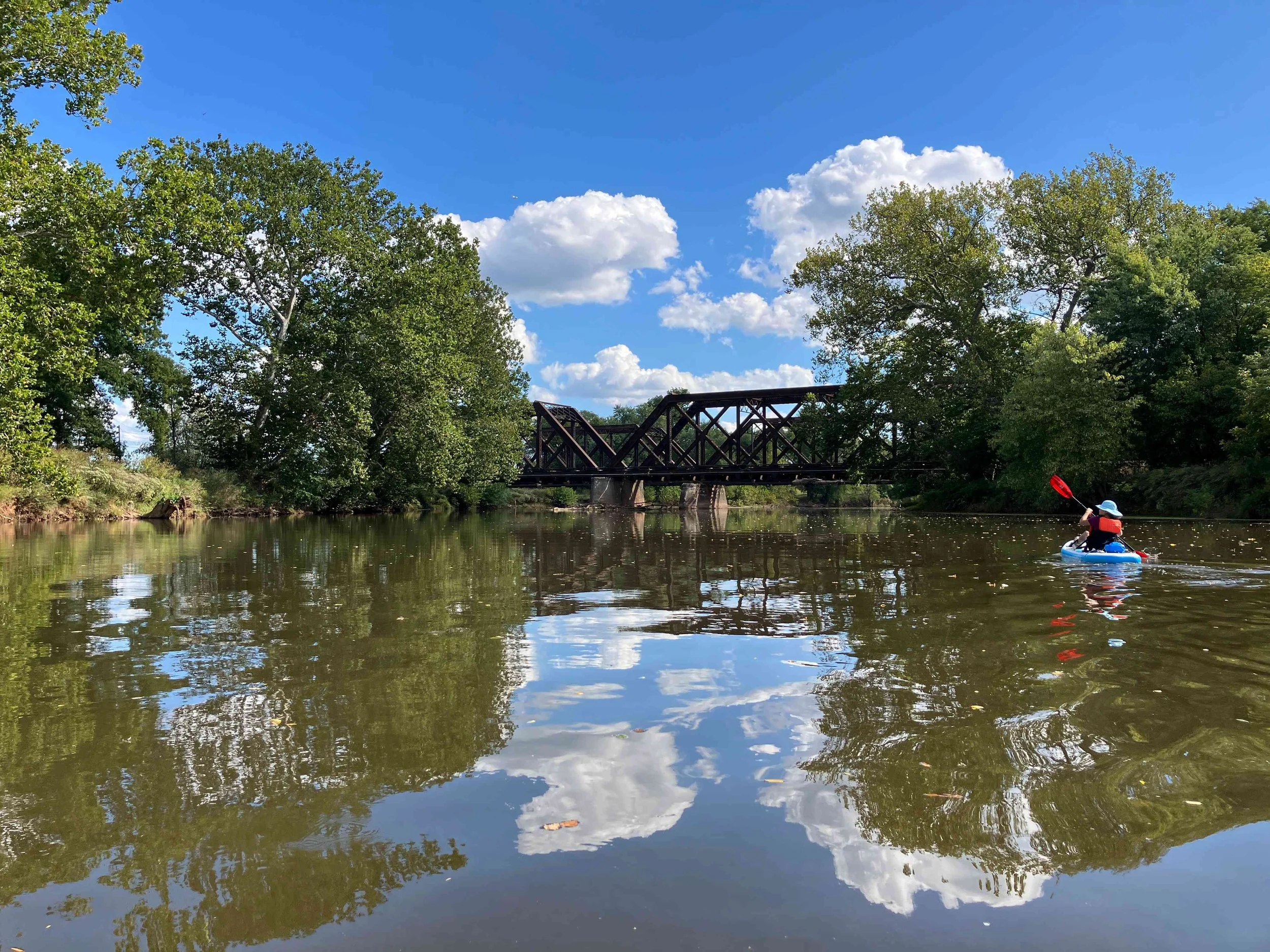
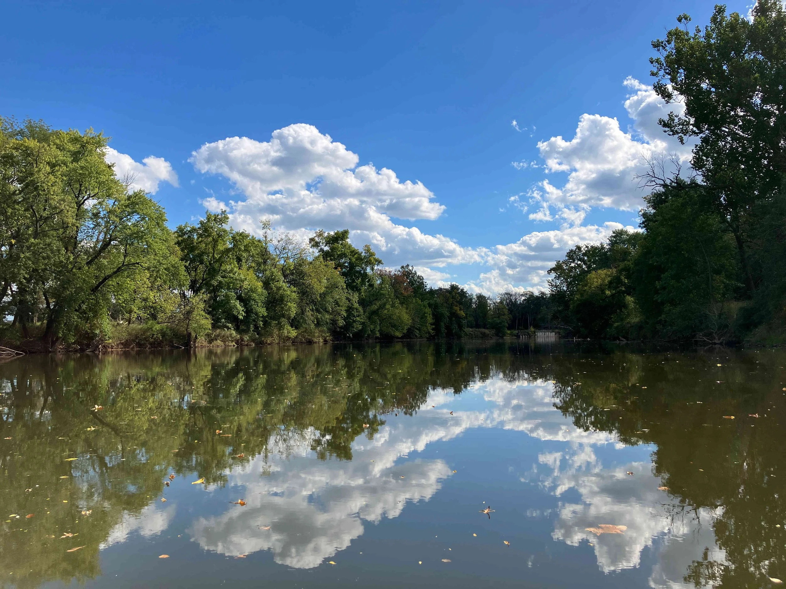
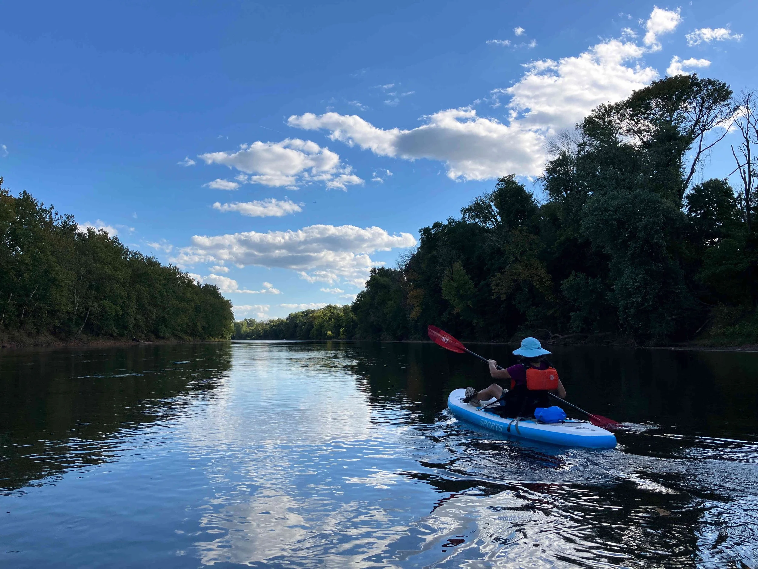
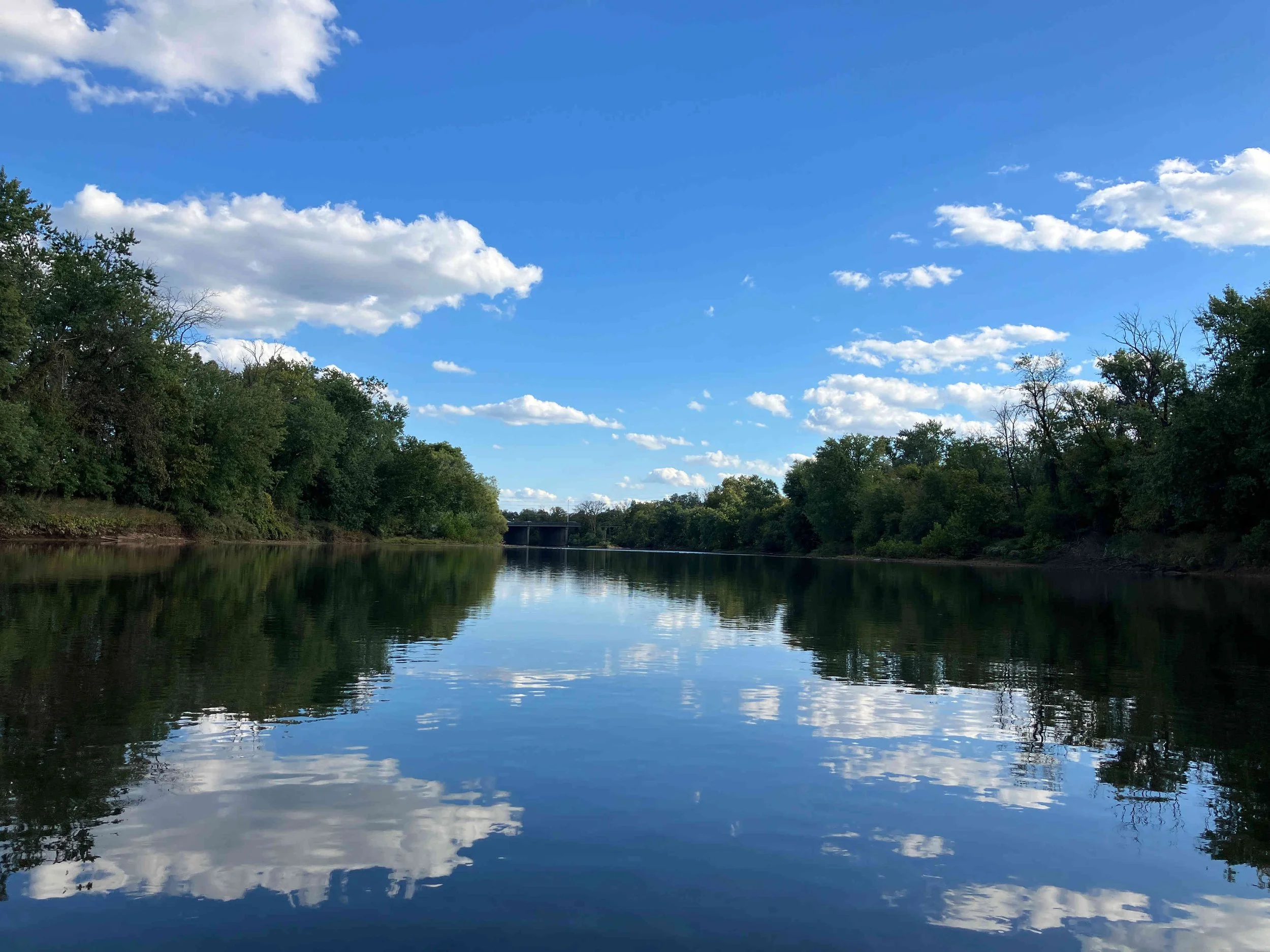
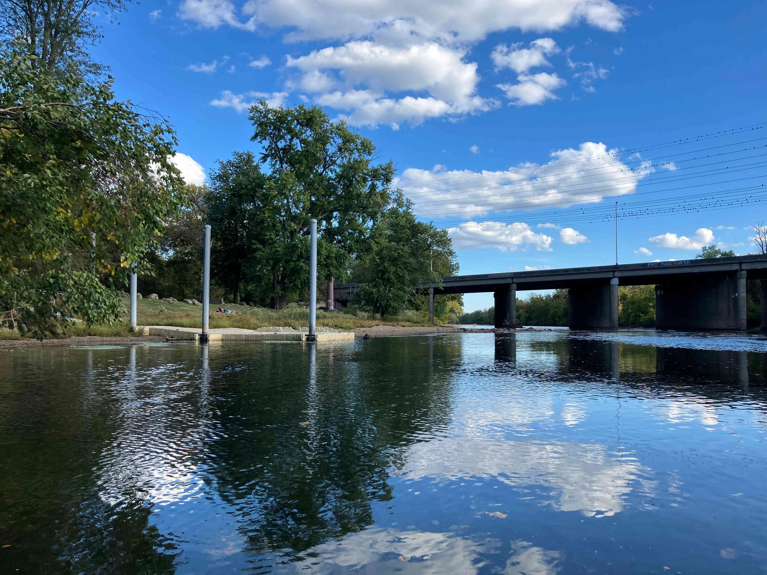
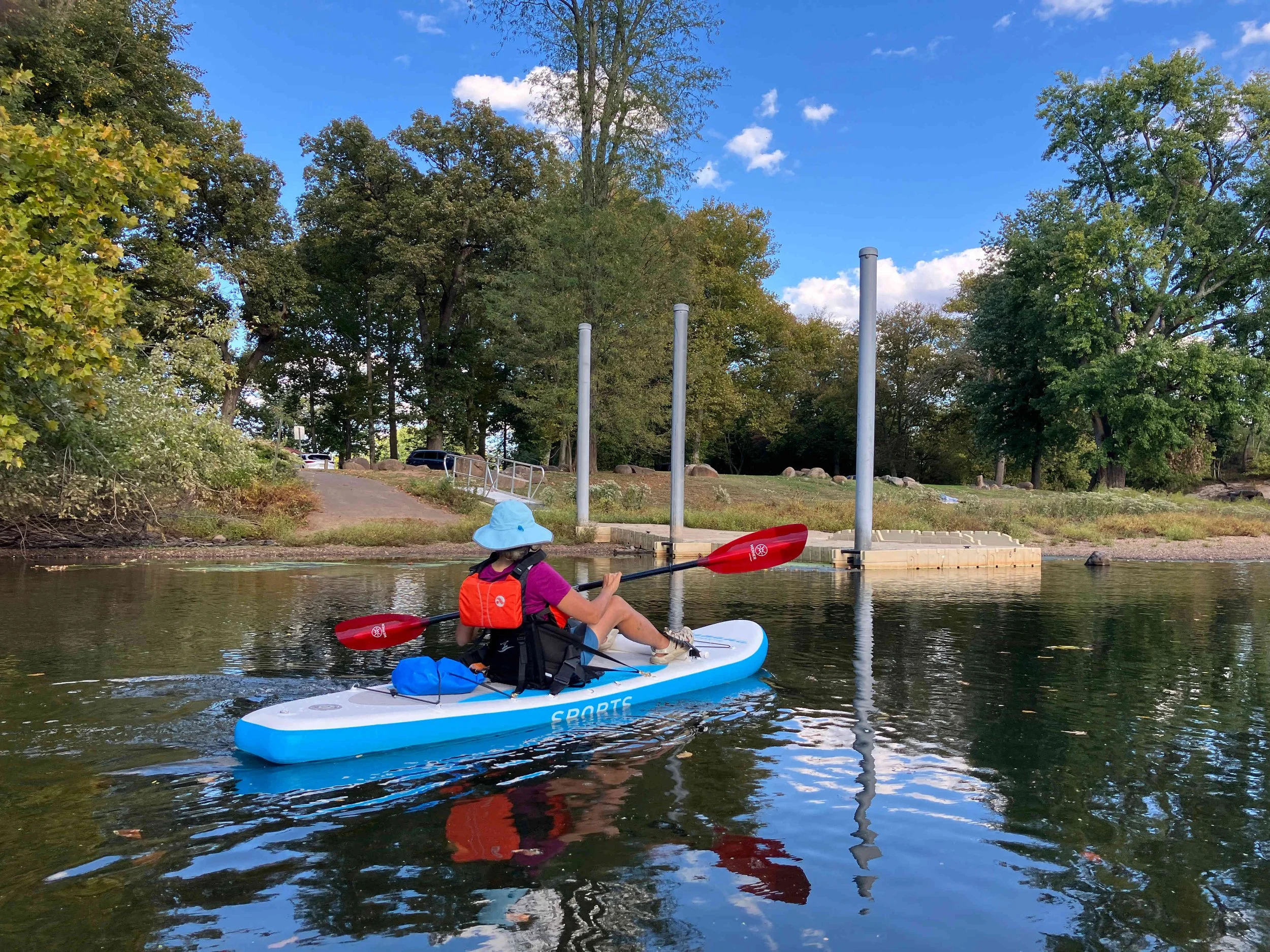
Raritan River #3: Downtown Raritan to Piscataway
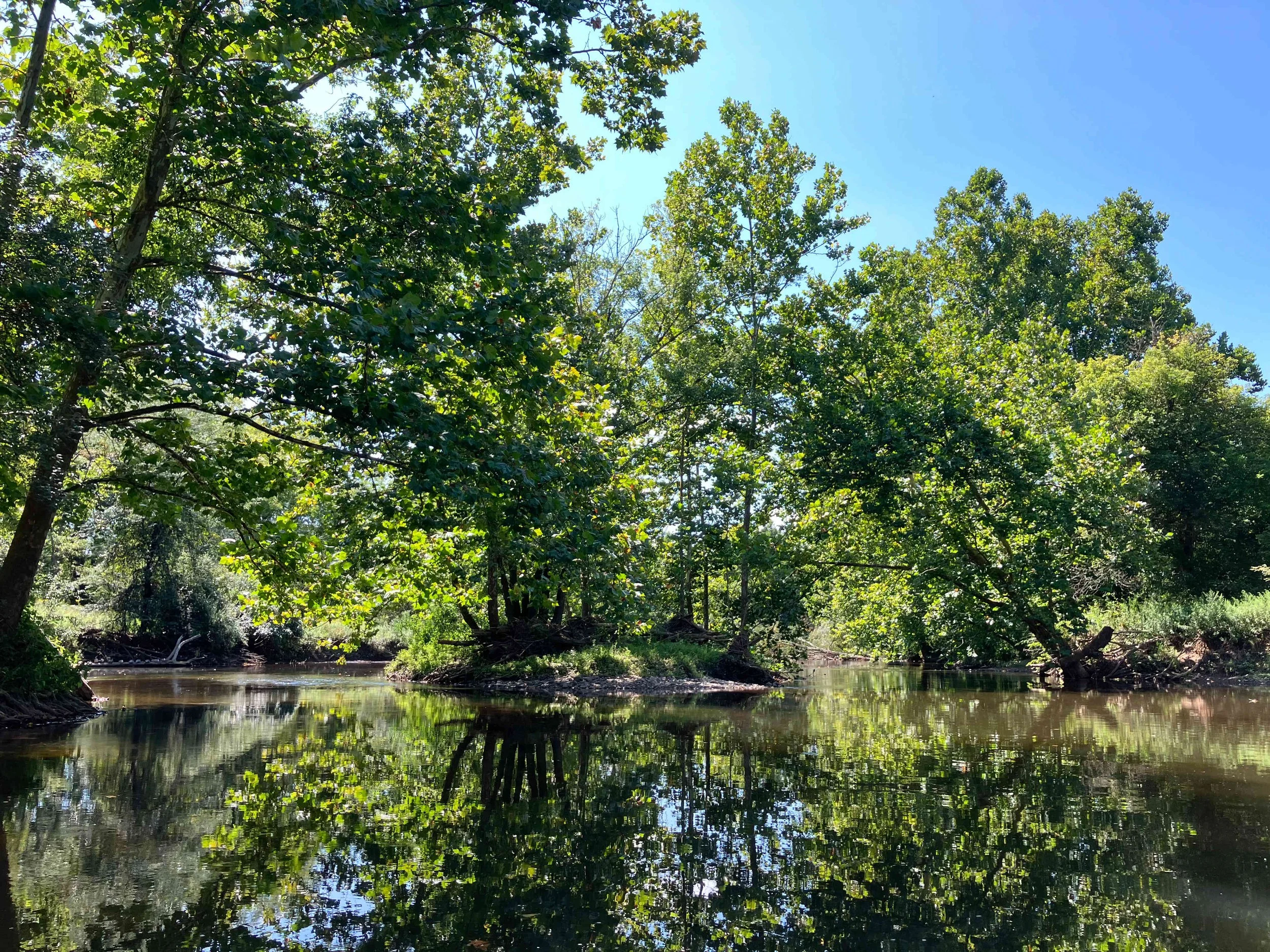
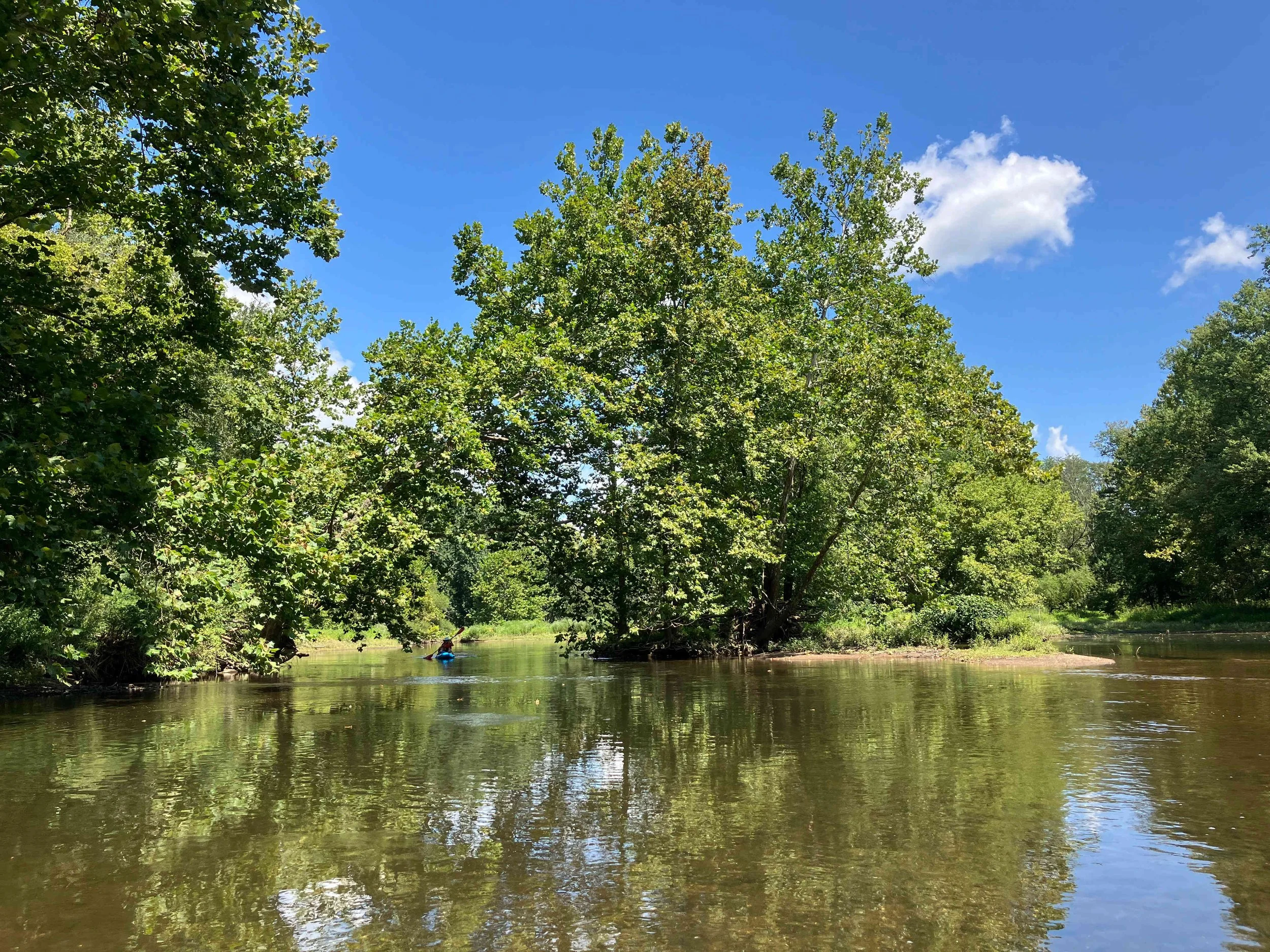
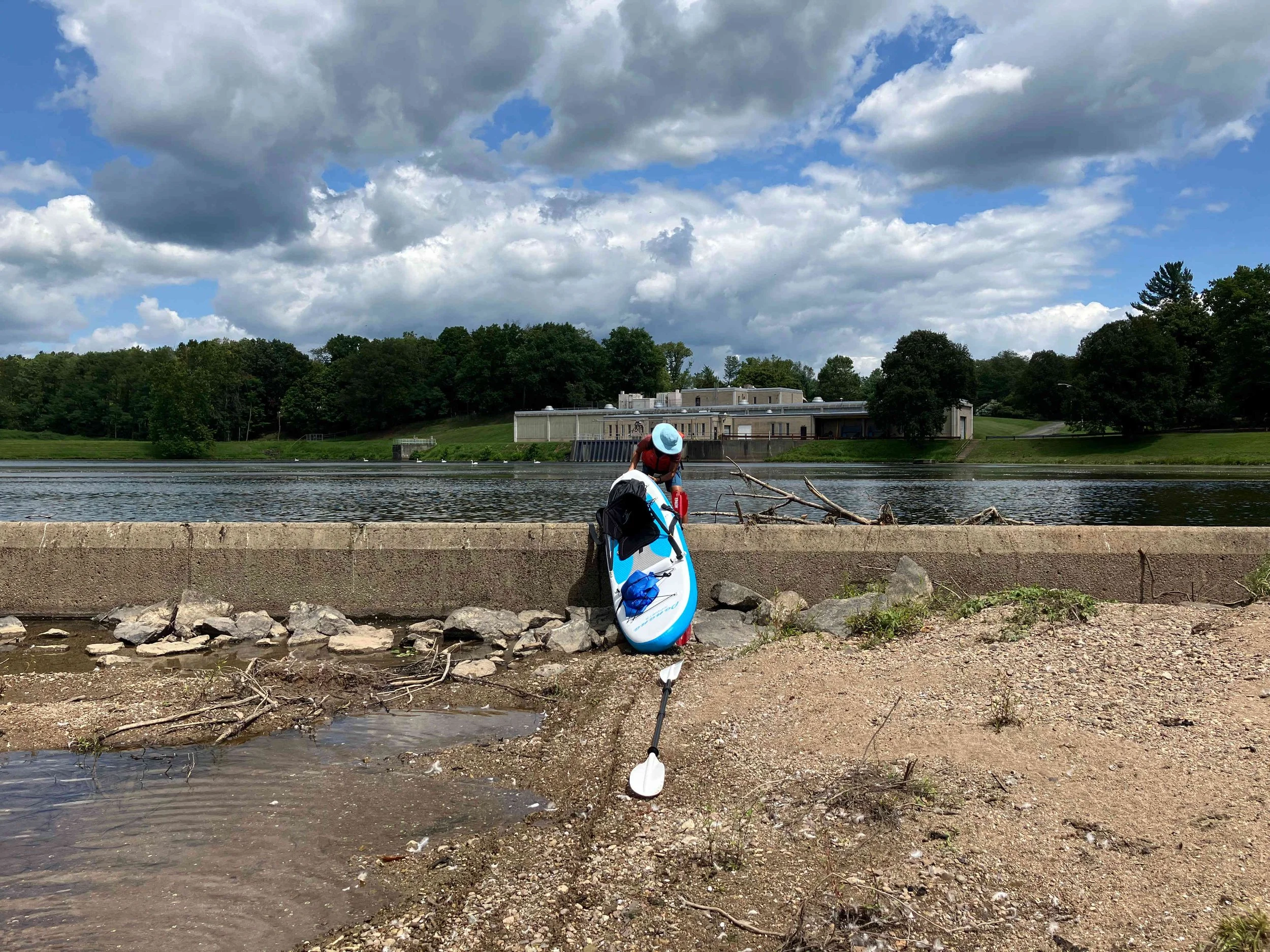
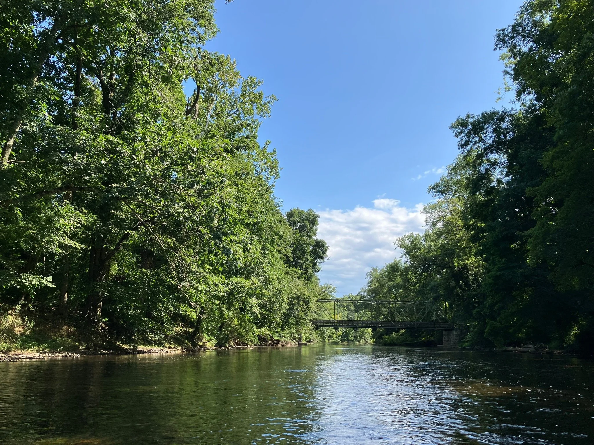
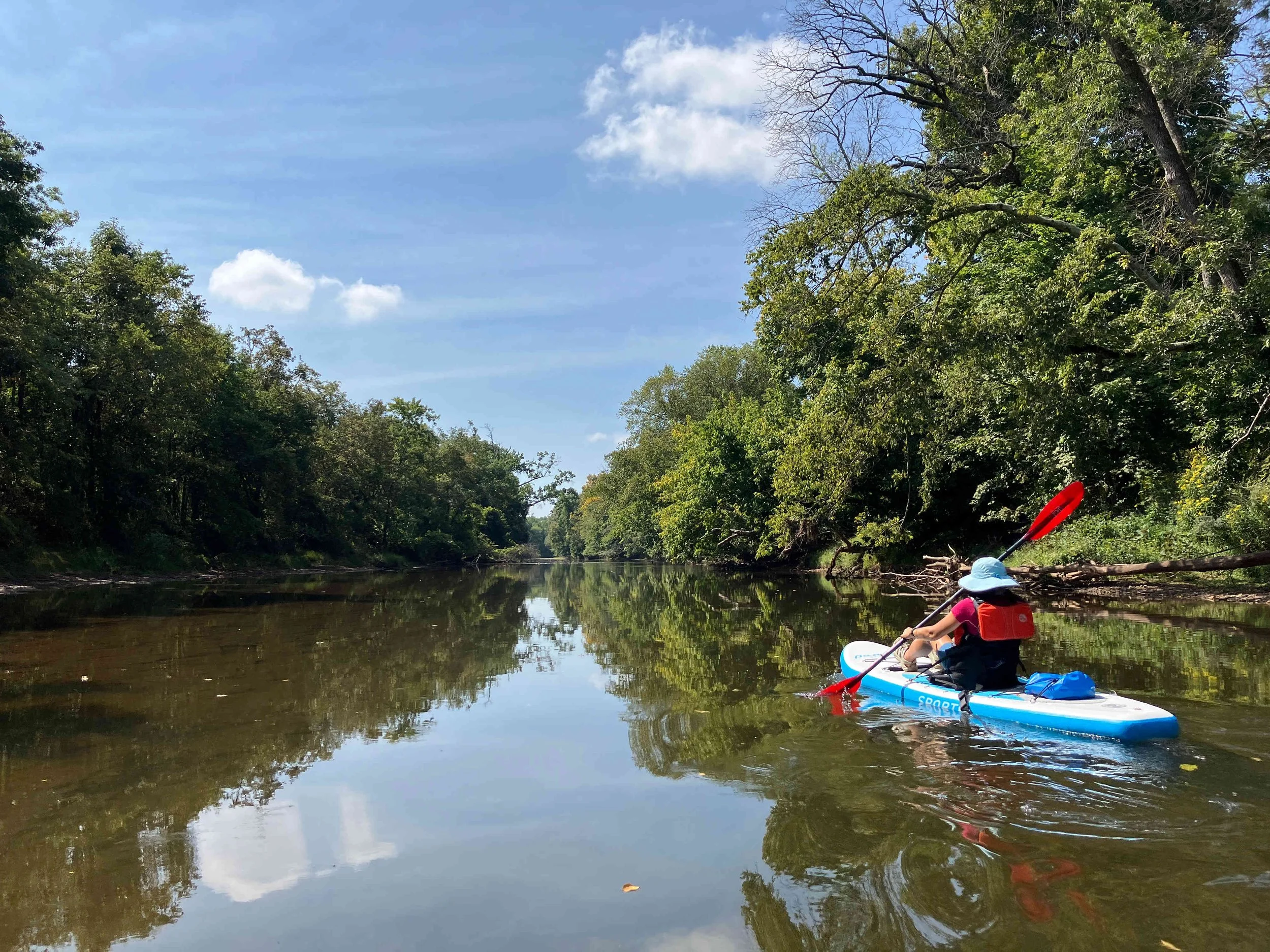
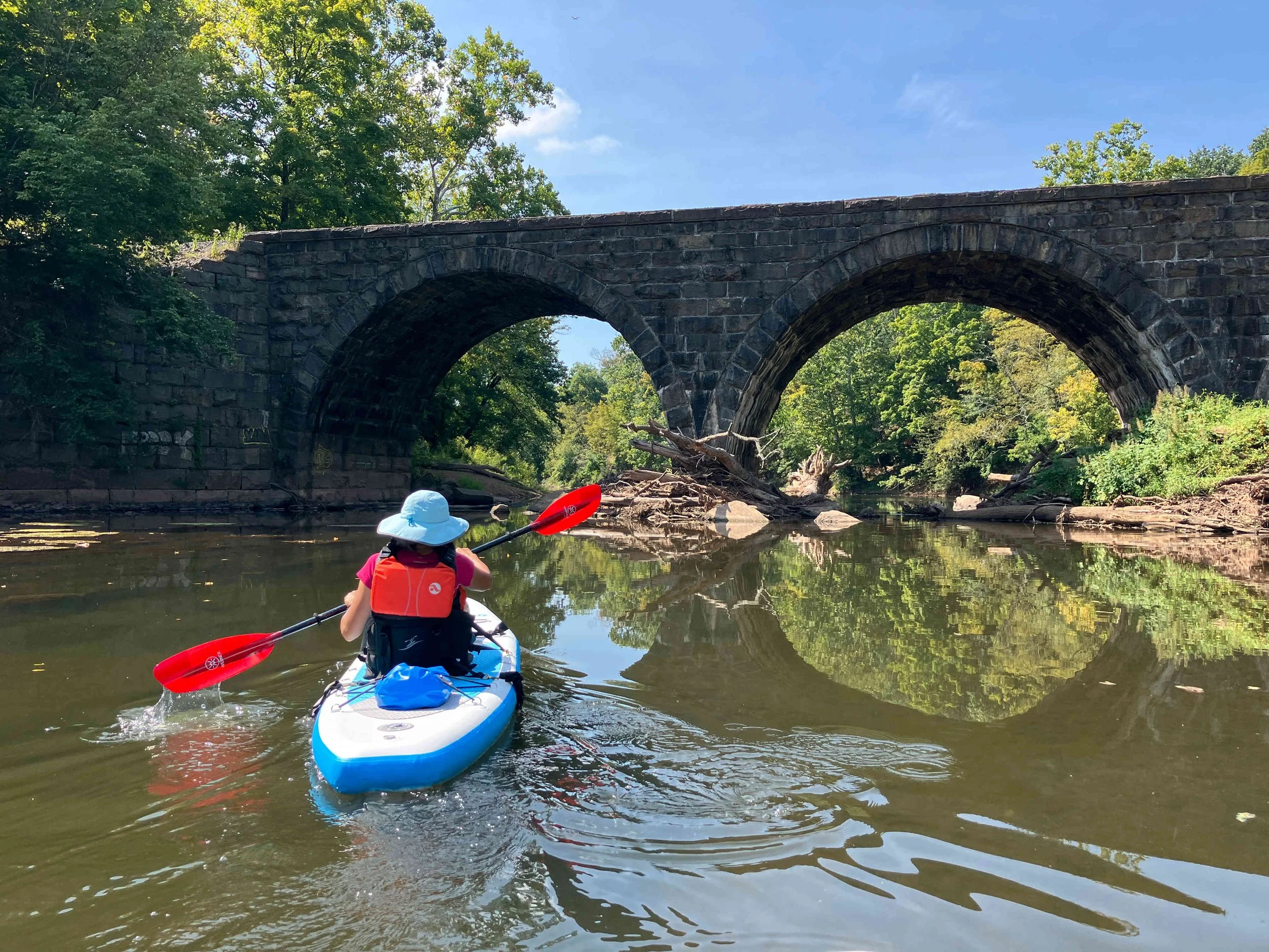
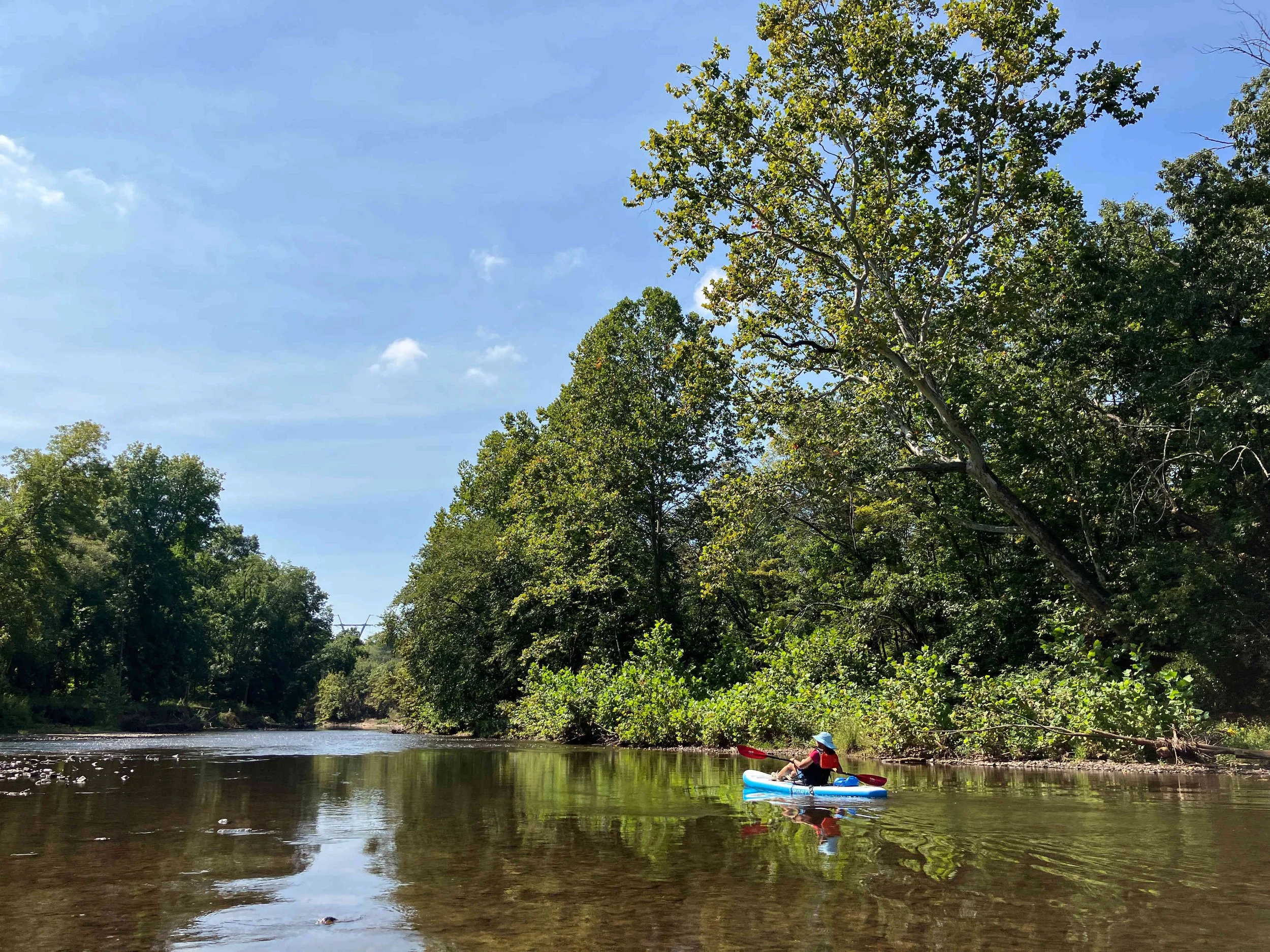
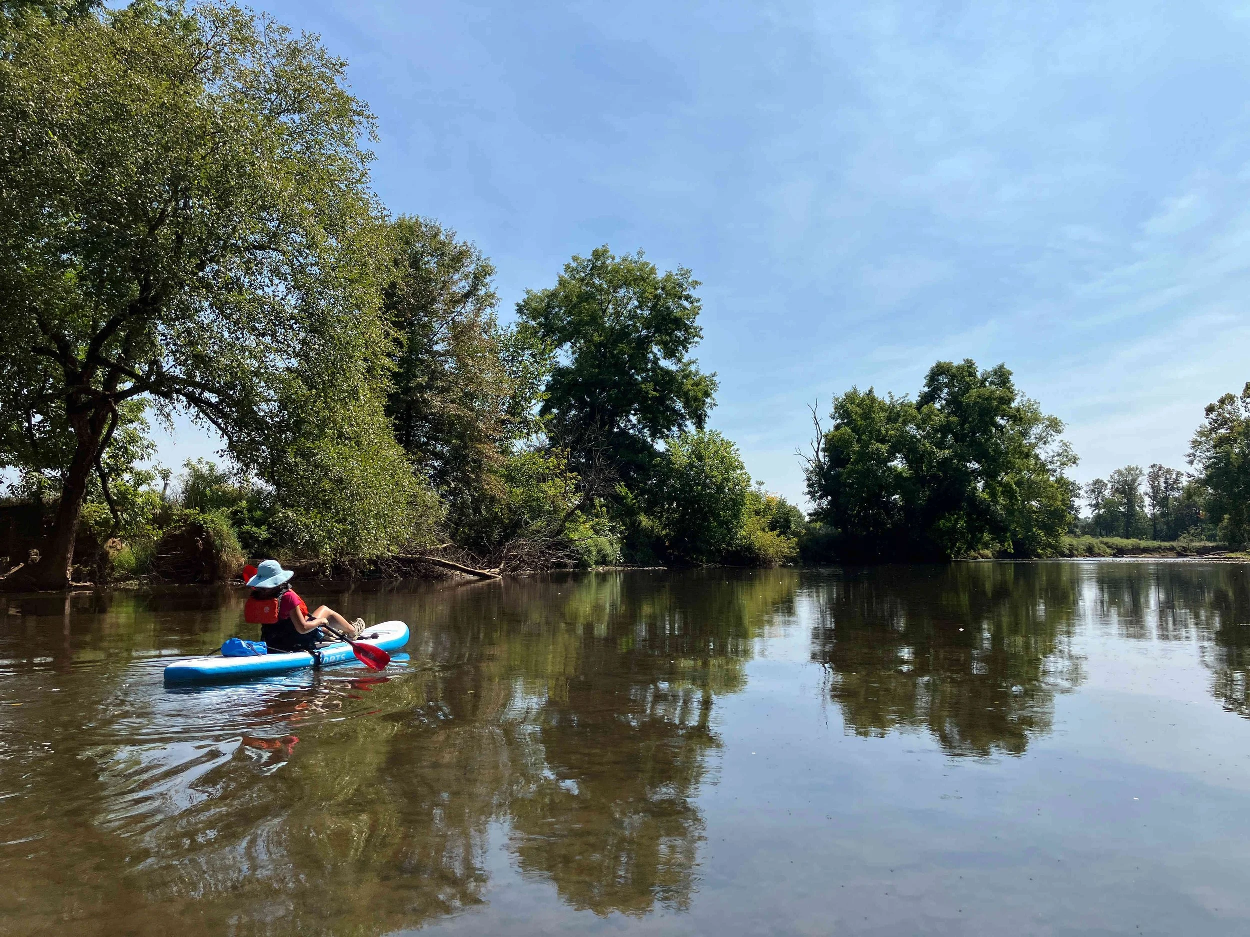
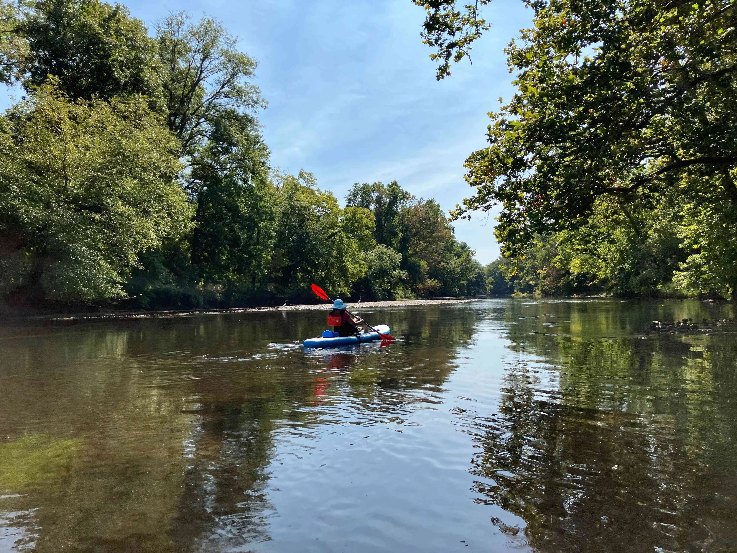
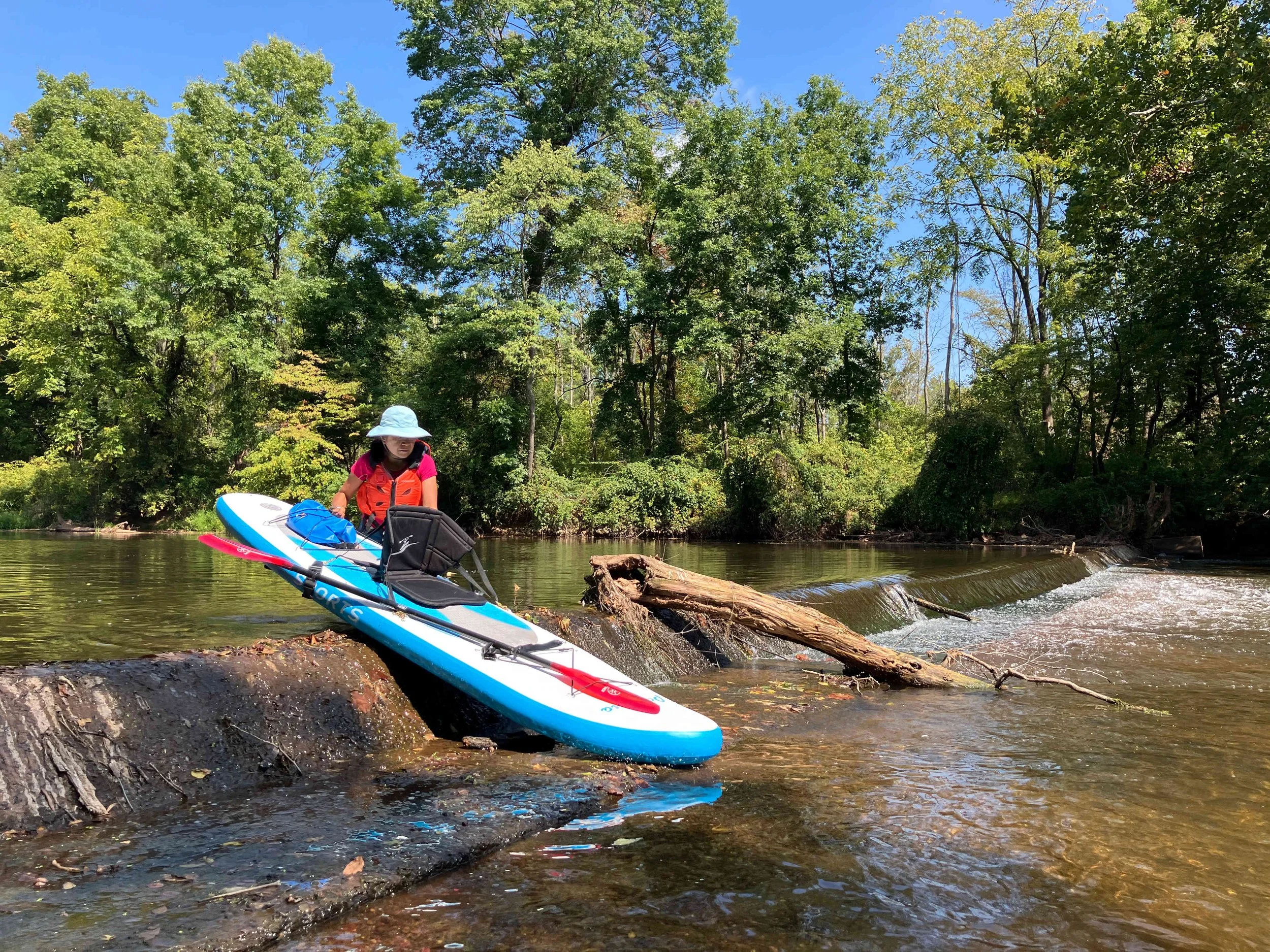
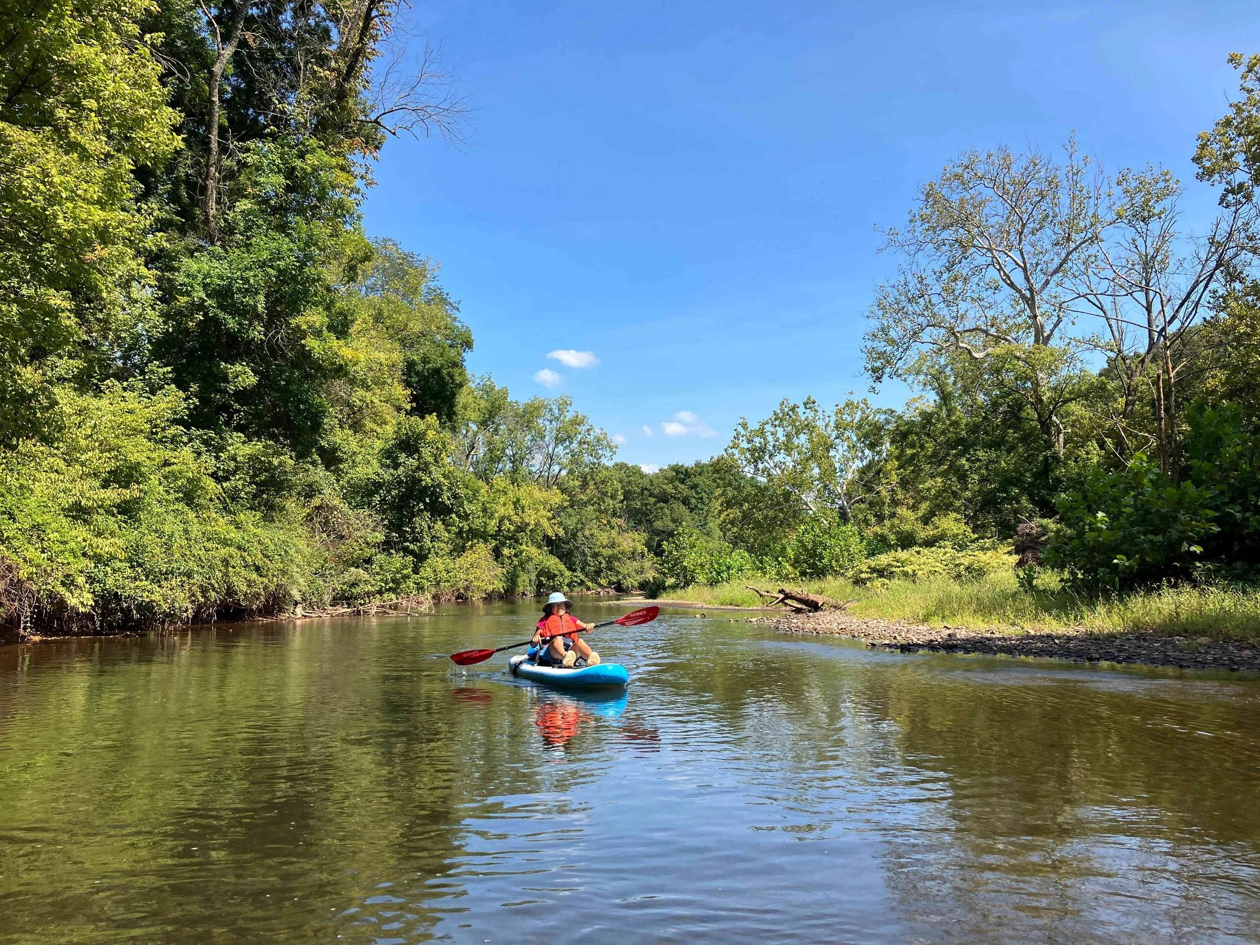
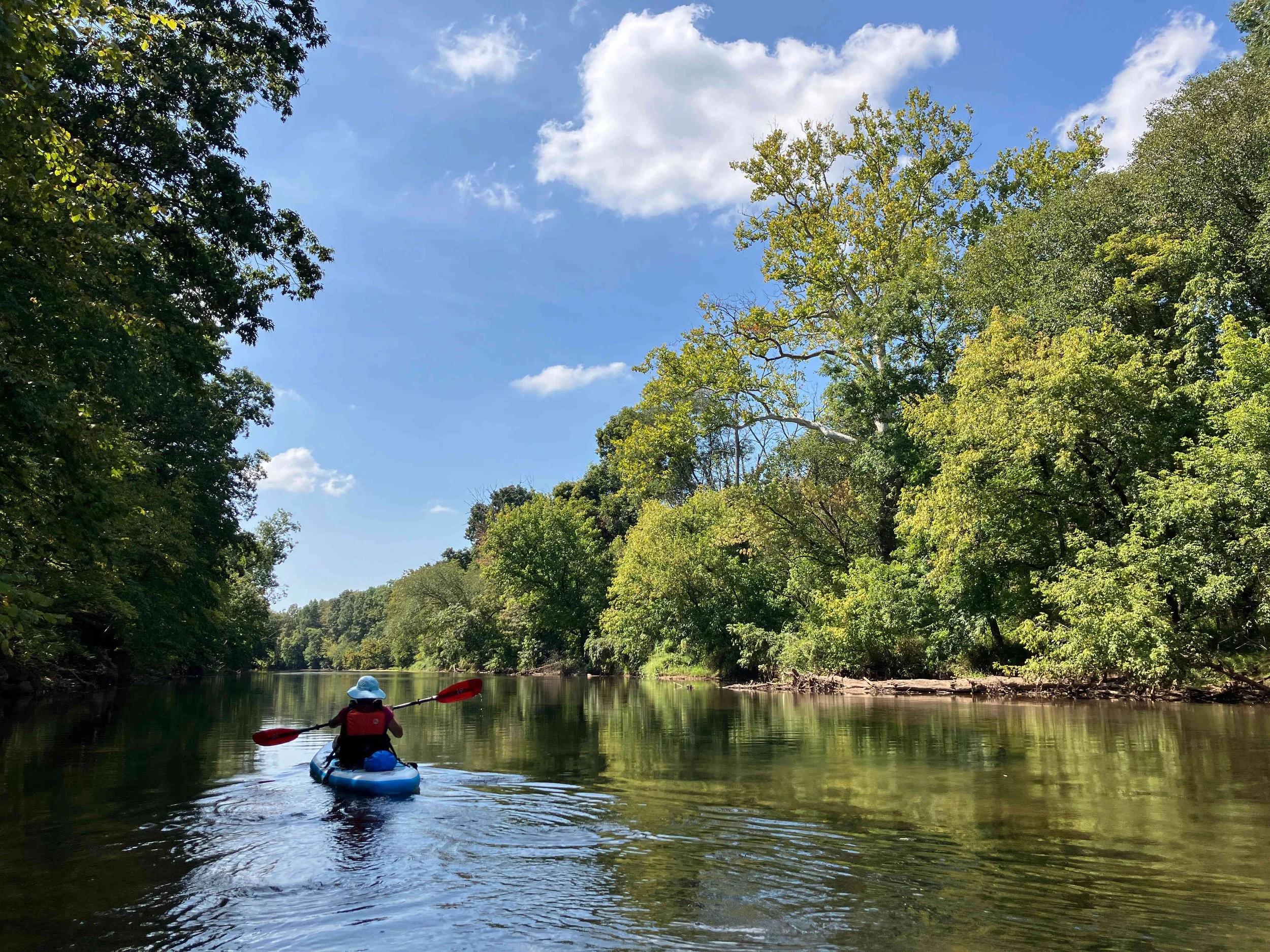
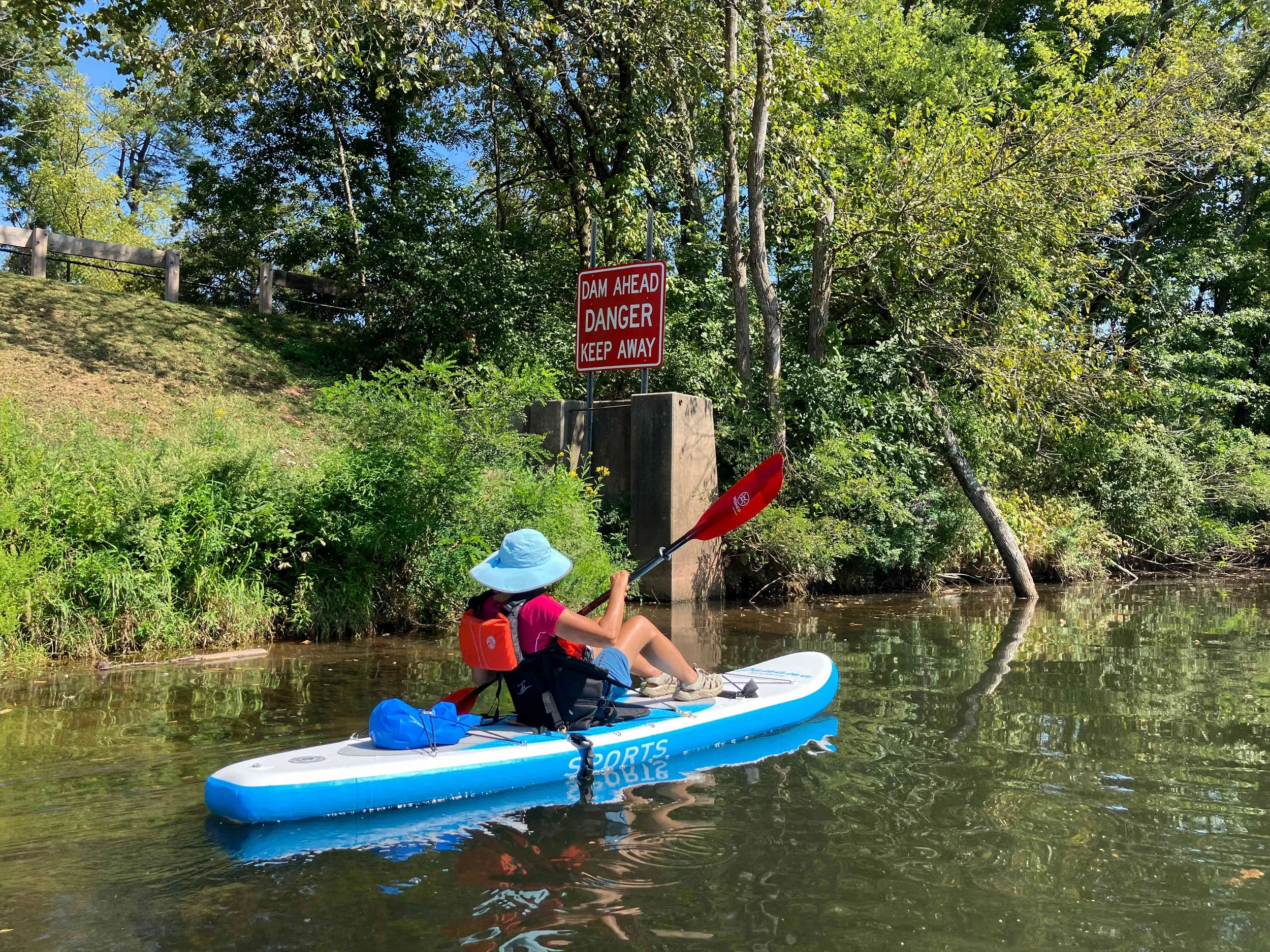
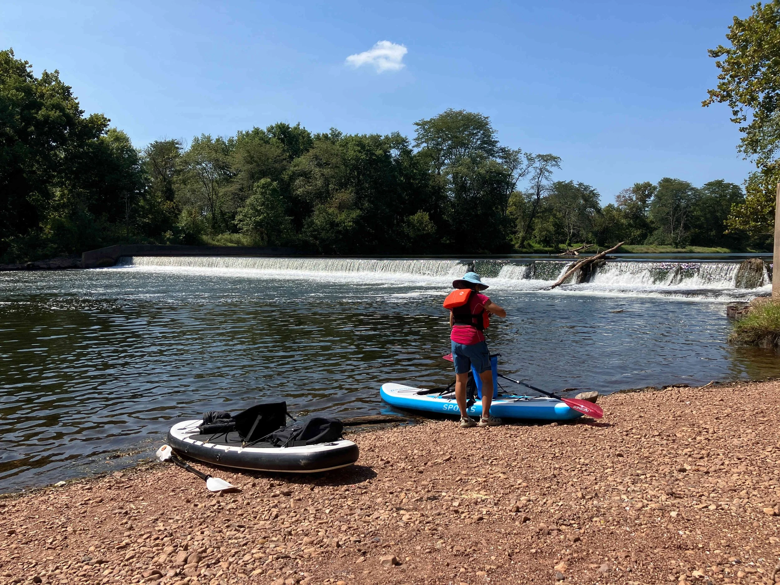
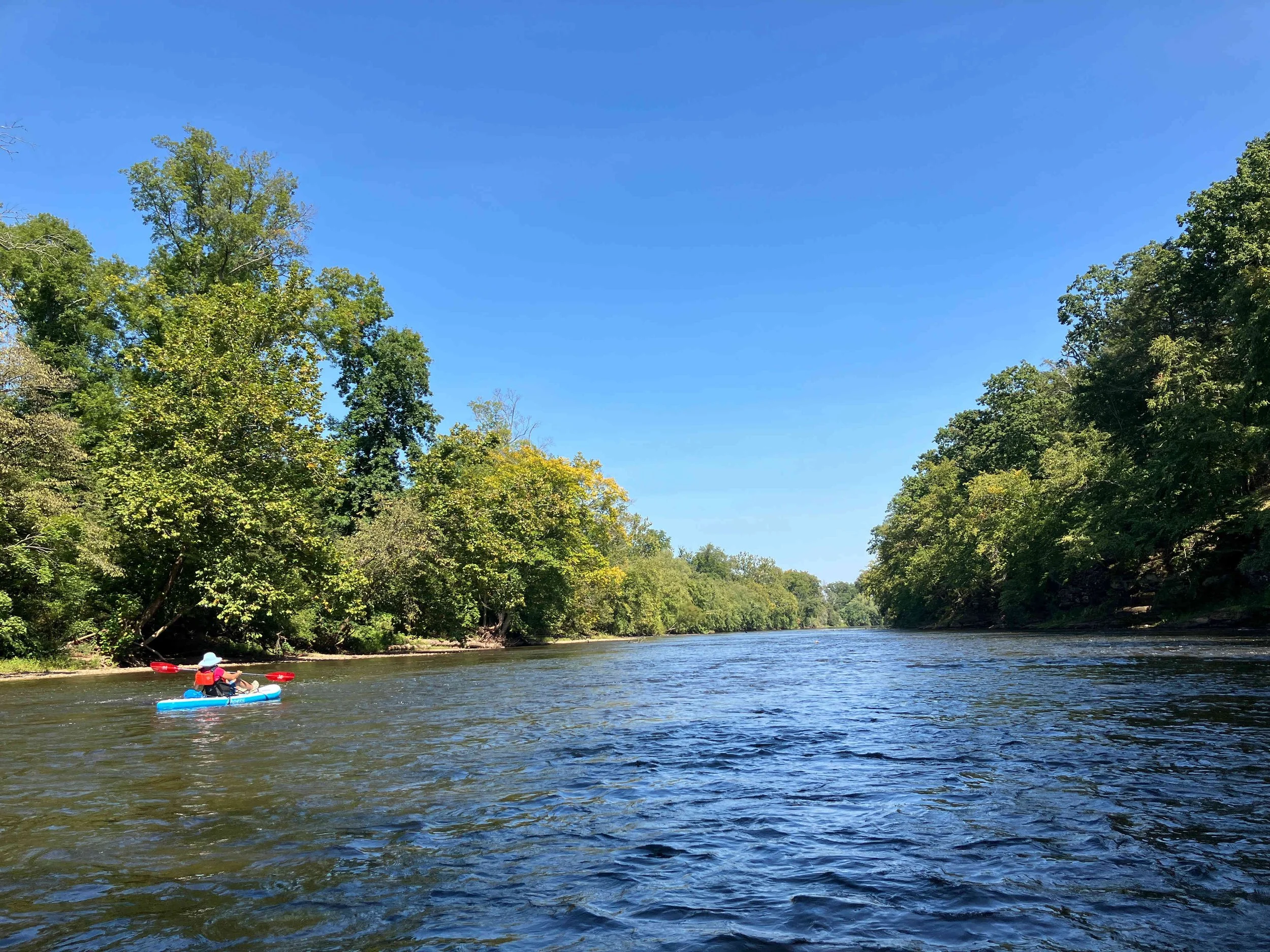
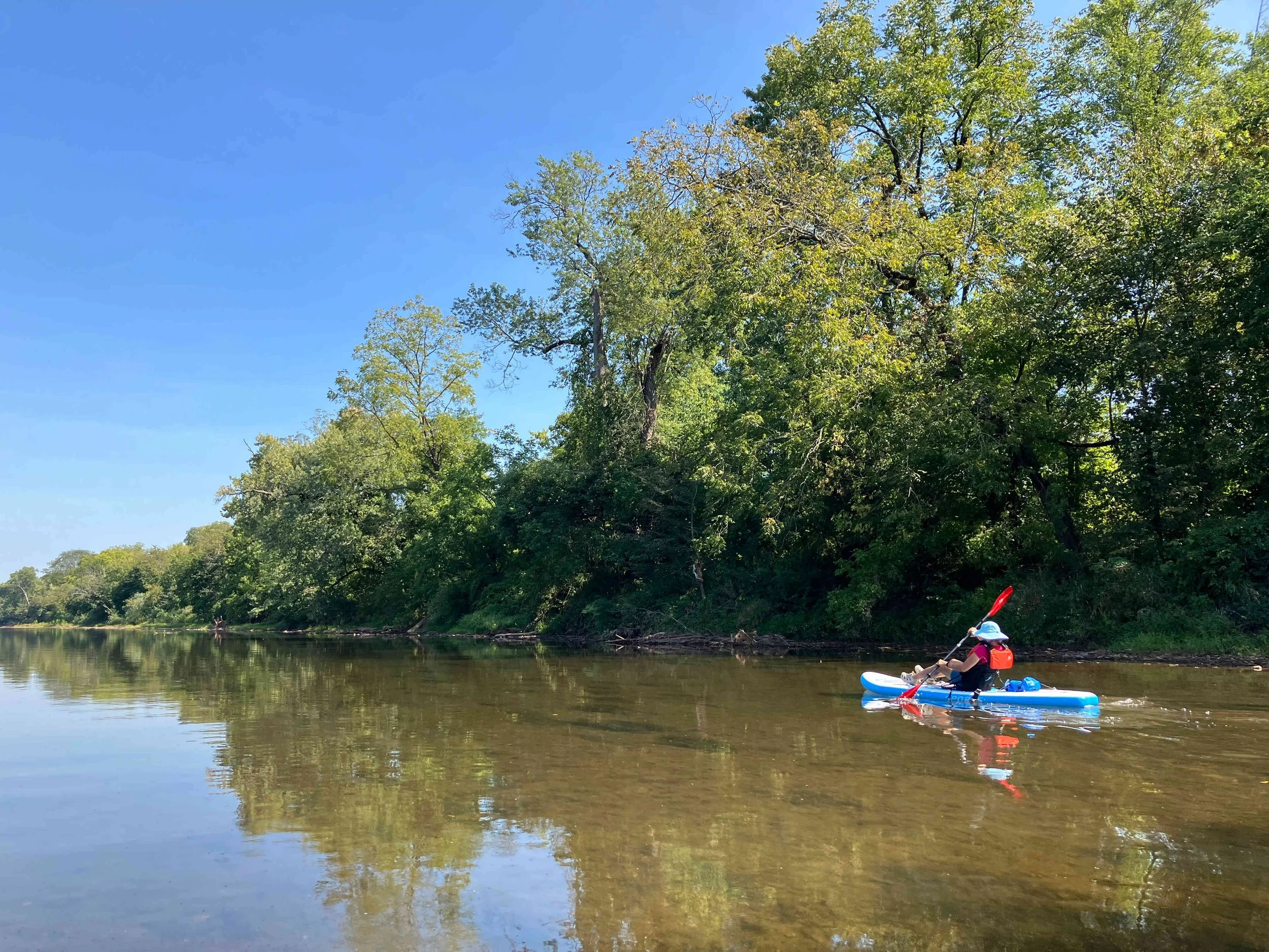
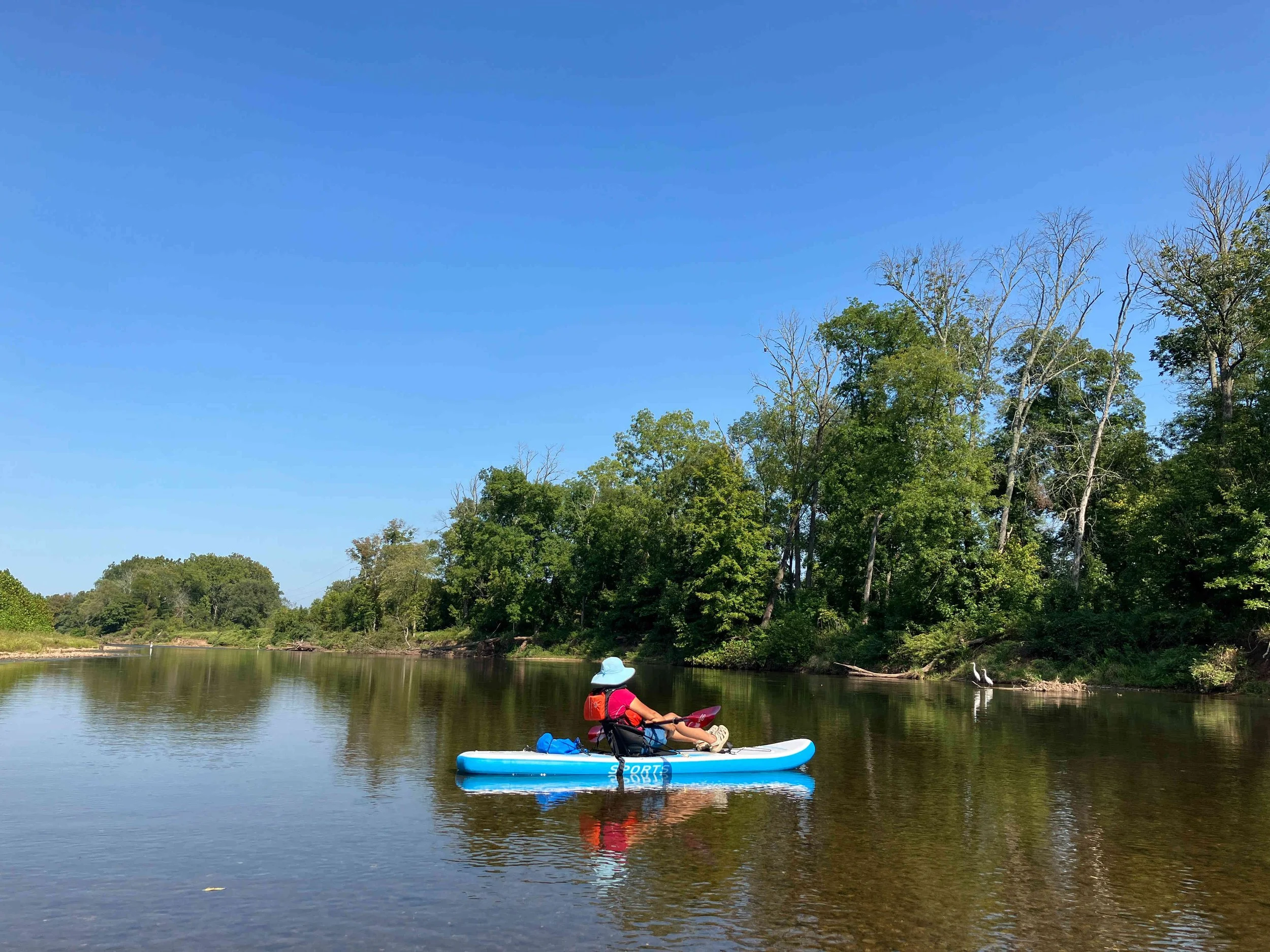
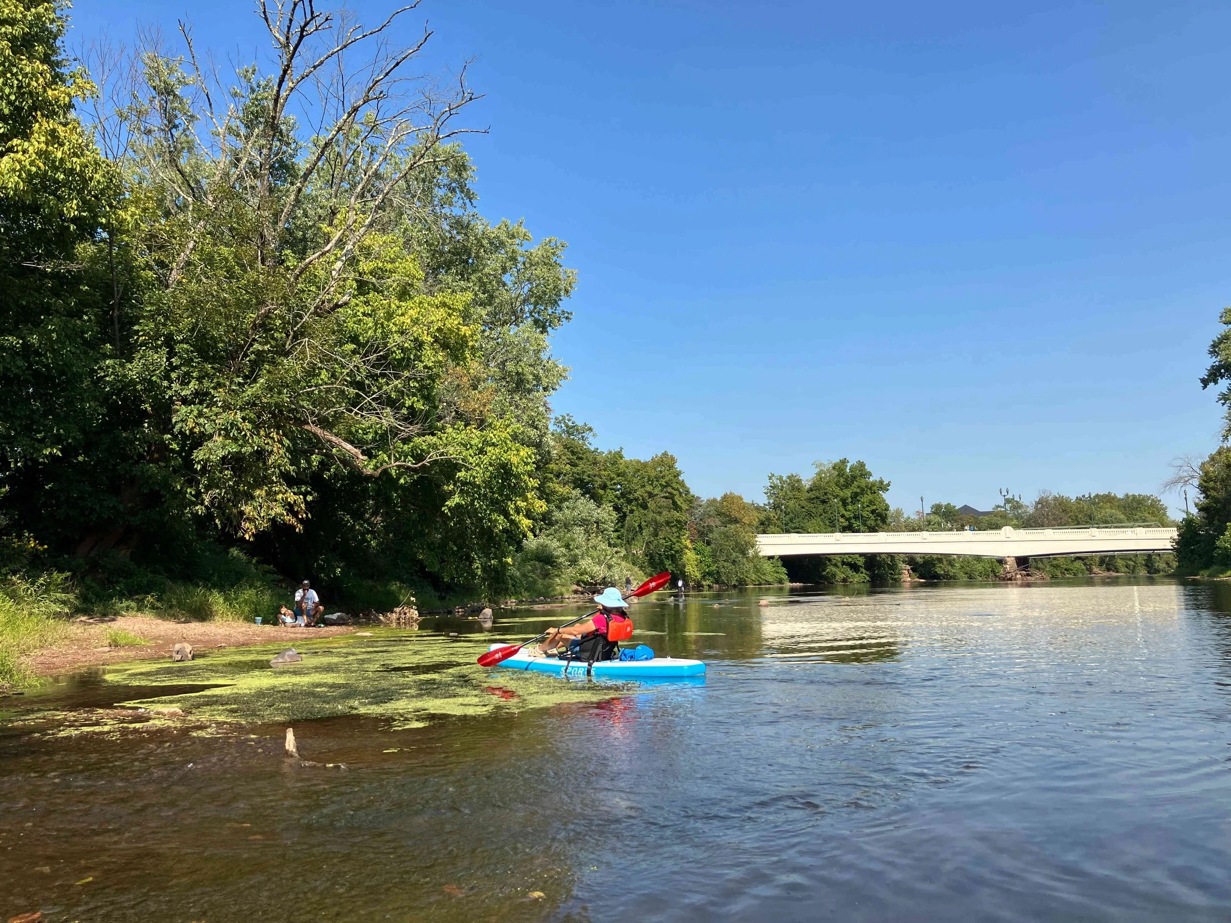
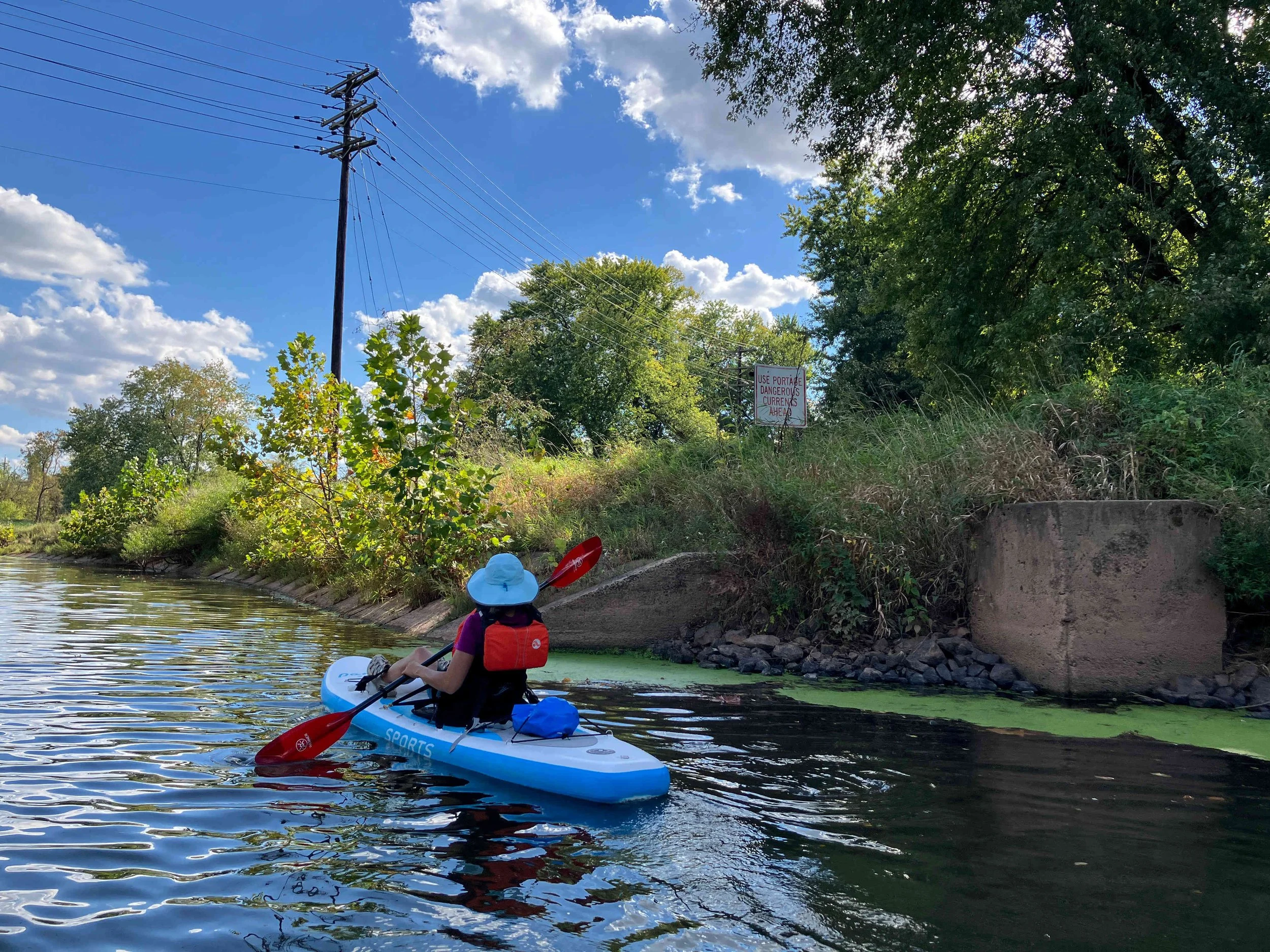
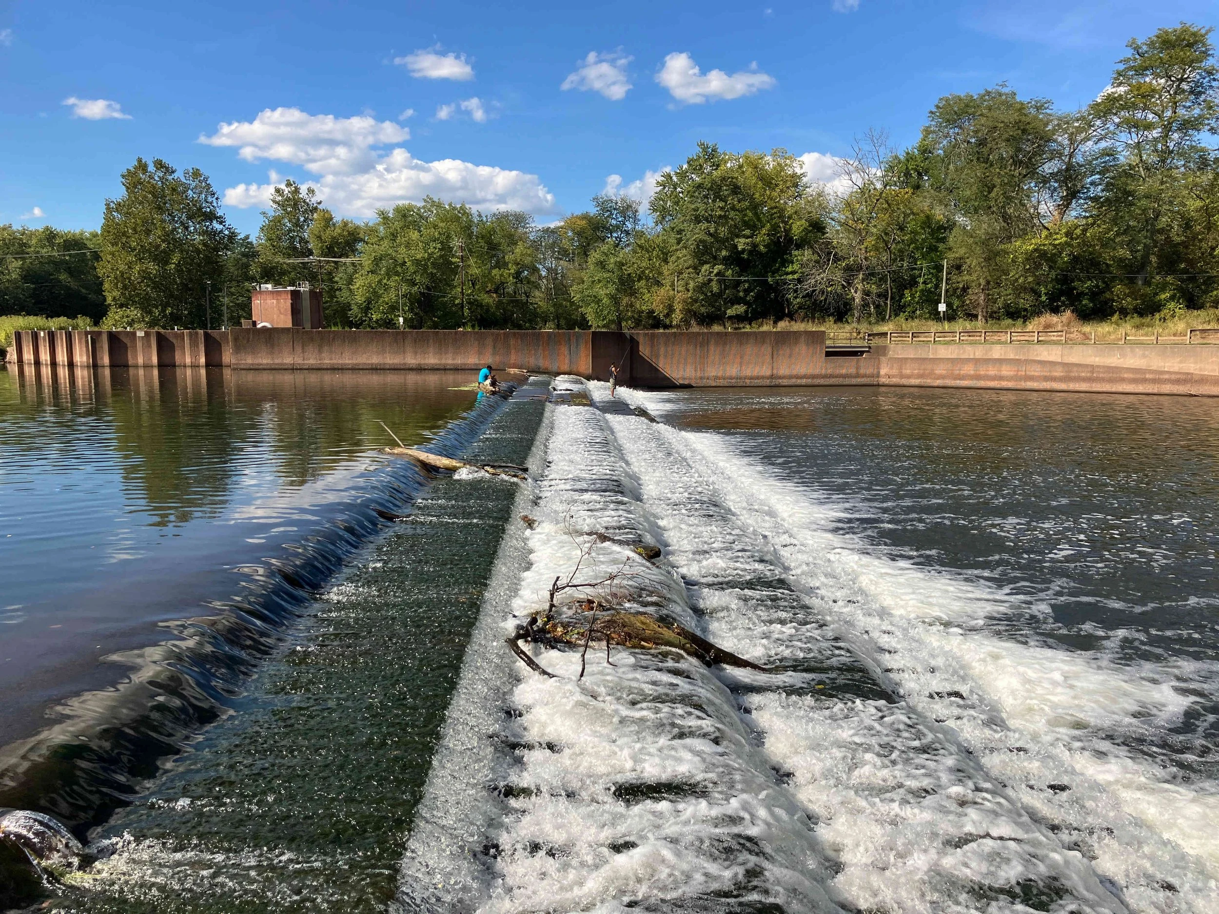
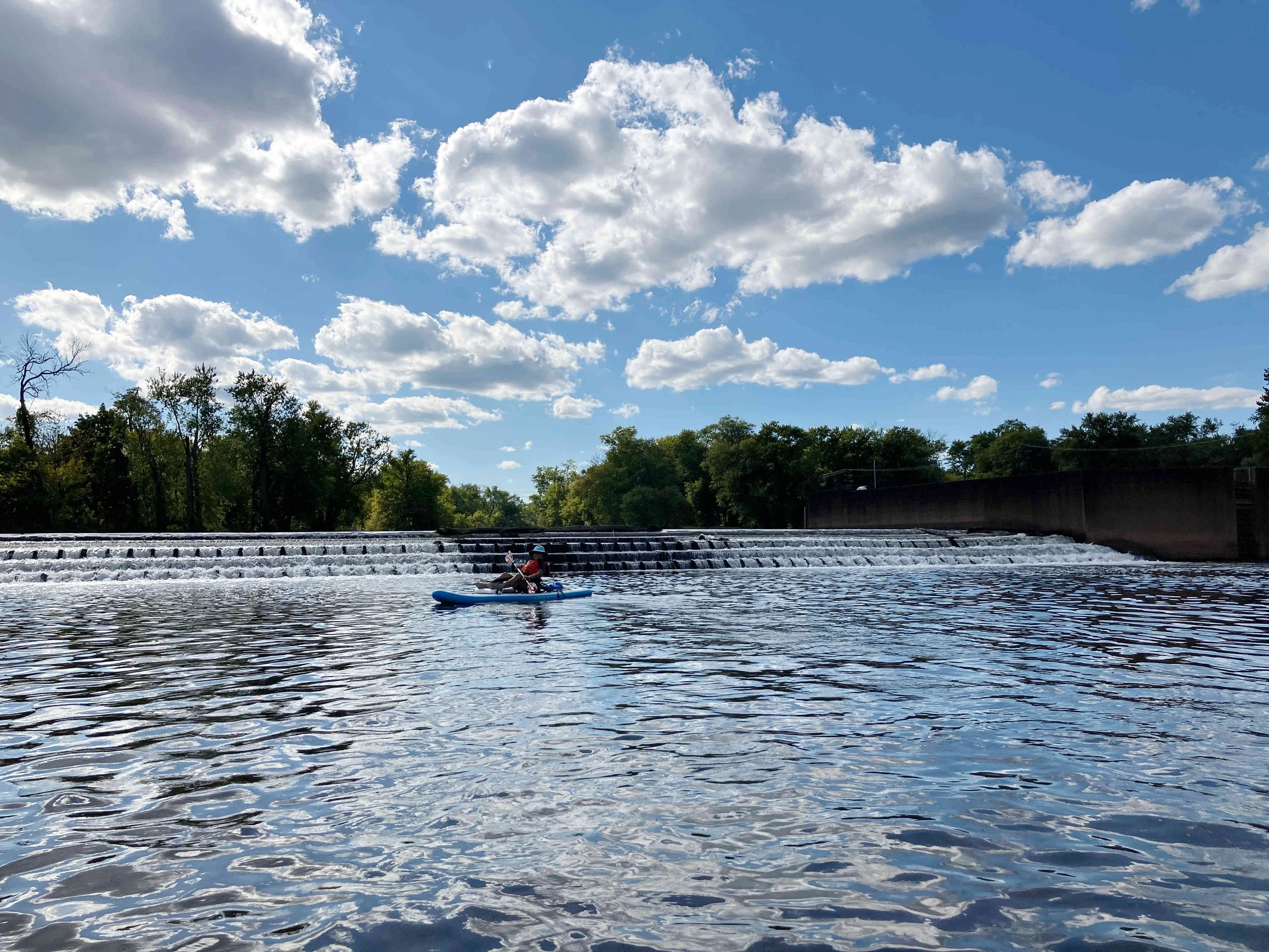
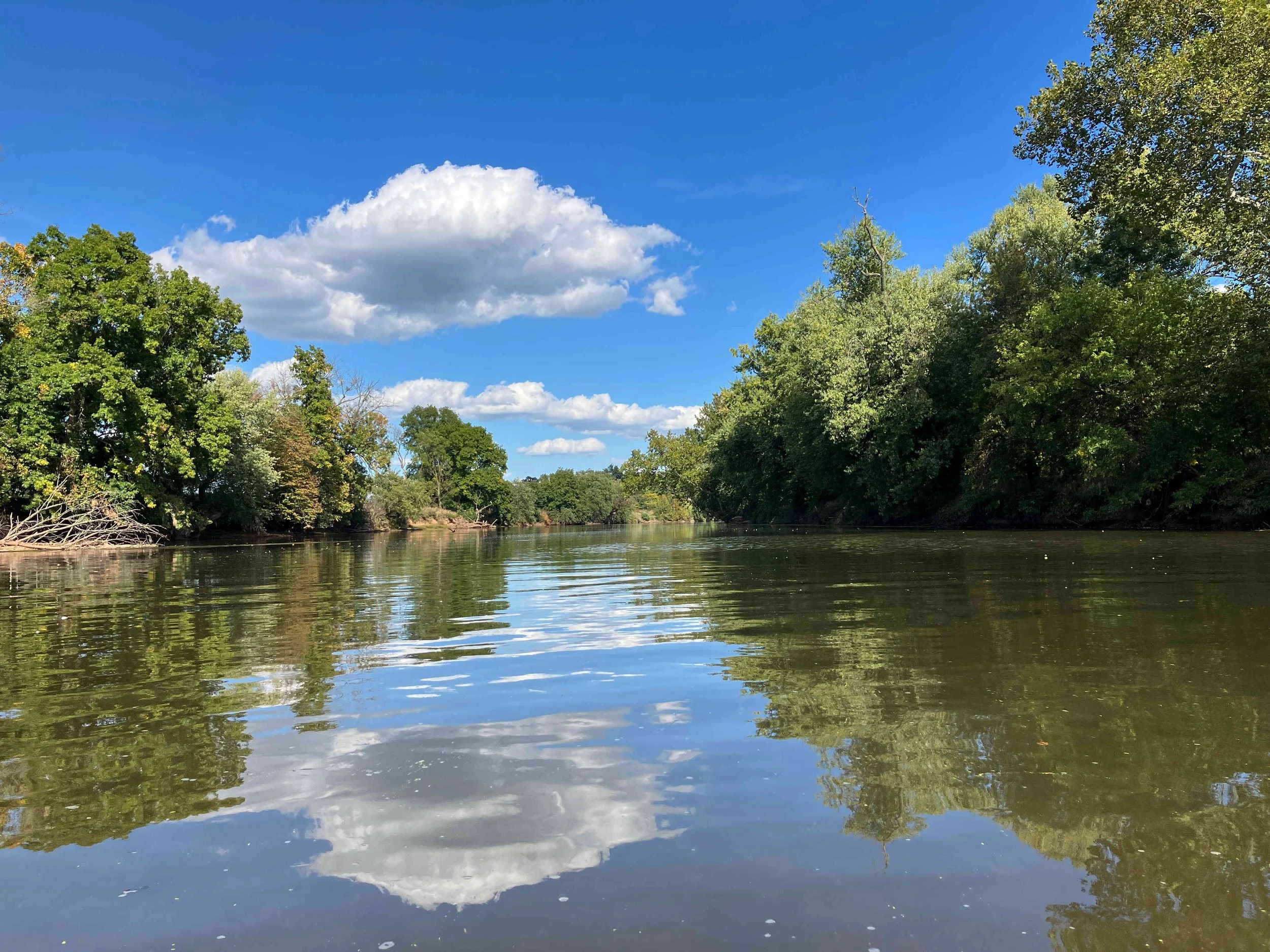
This section of the main branch of the Raritan River is wide and shallow. Most of it is flat water, but there are some rapids. There is one dam to portage. There are no other obstructions.
Stream Gauges
There are four stream gauges on the South Branch of the Raritan River:
South Branch Raritan River near High Bridge: link
South Branch Raritan River at Stanton: link
South Branch Raritan River at Black Point Rd at Neshanic Station: link
South Branch Raritan River at South Branch: link
There are two stream gauges on the North Branch of the Raritan River:
The are two stream gauges on the Raritan River:
References
August / 2025