Paulins Kill
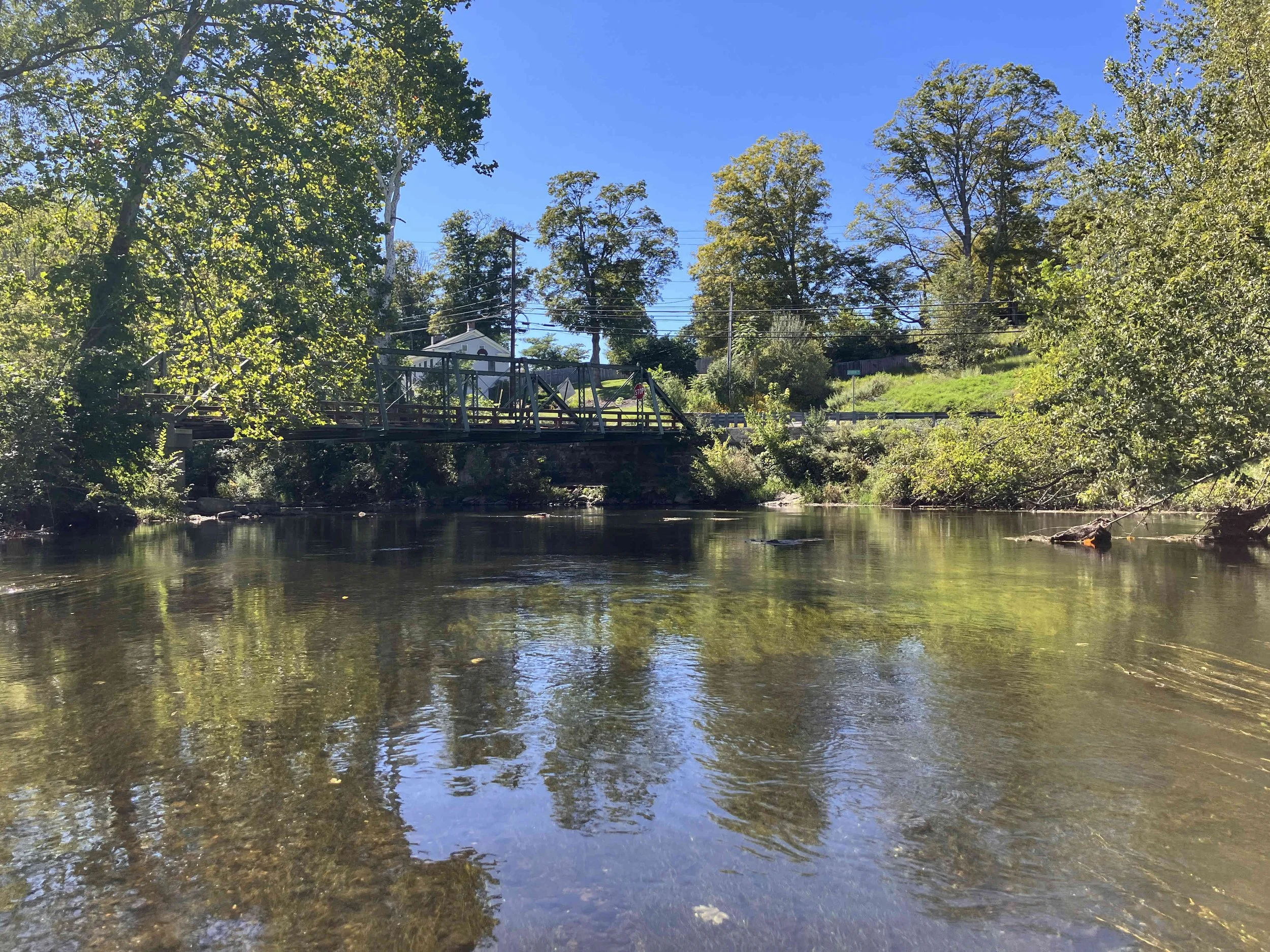
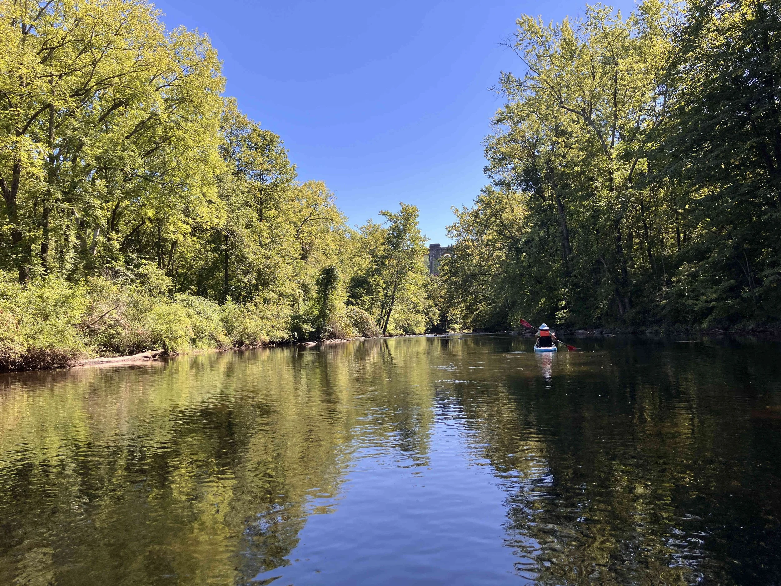
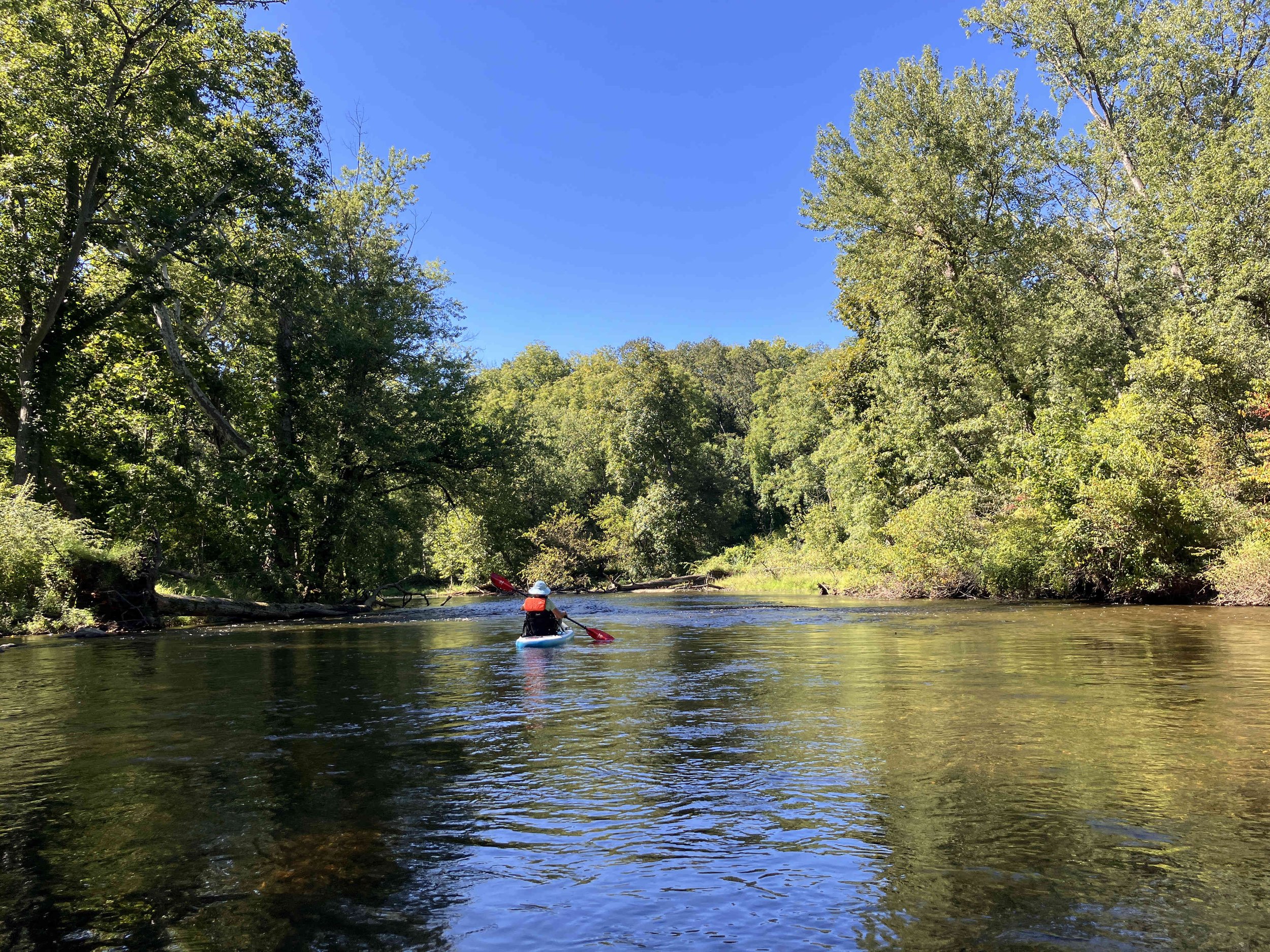
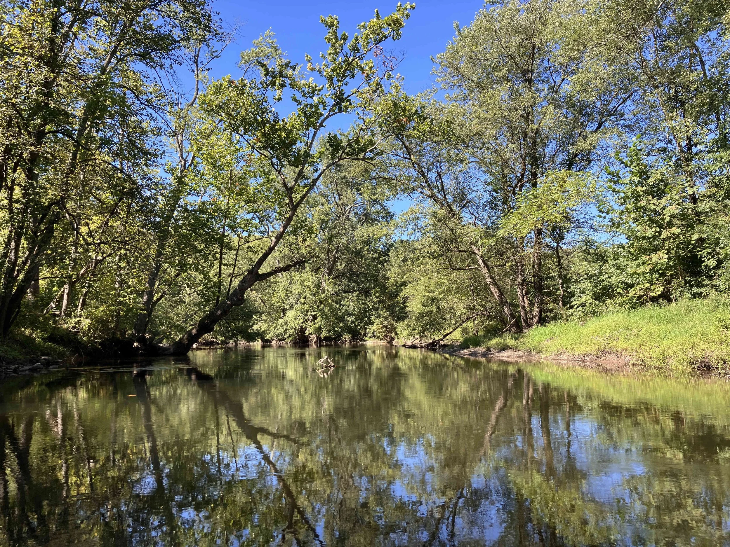
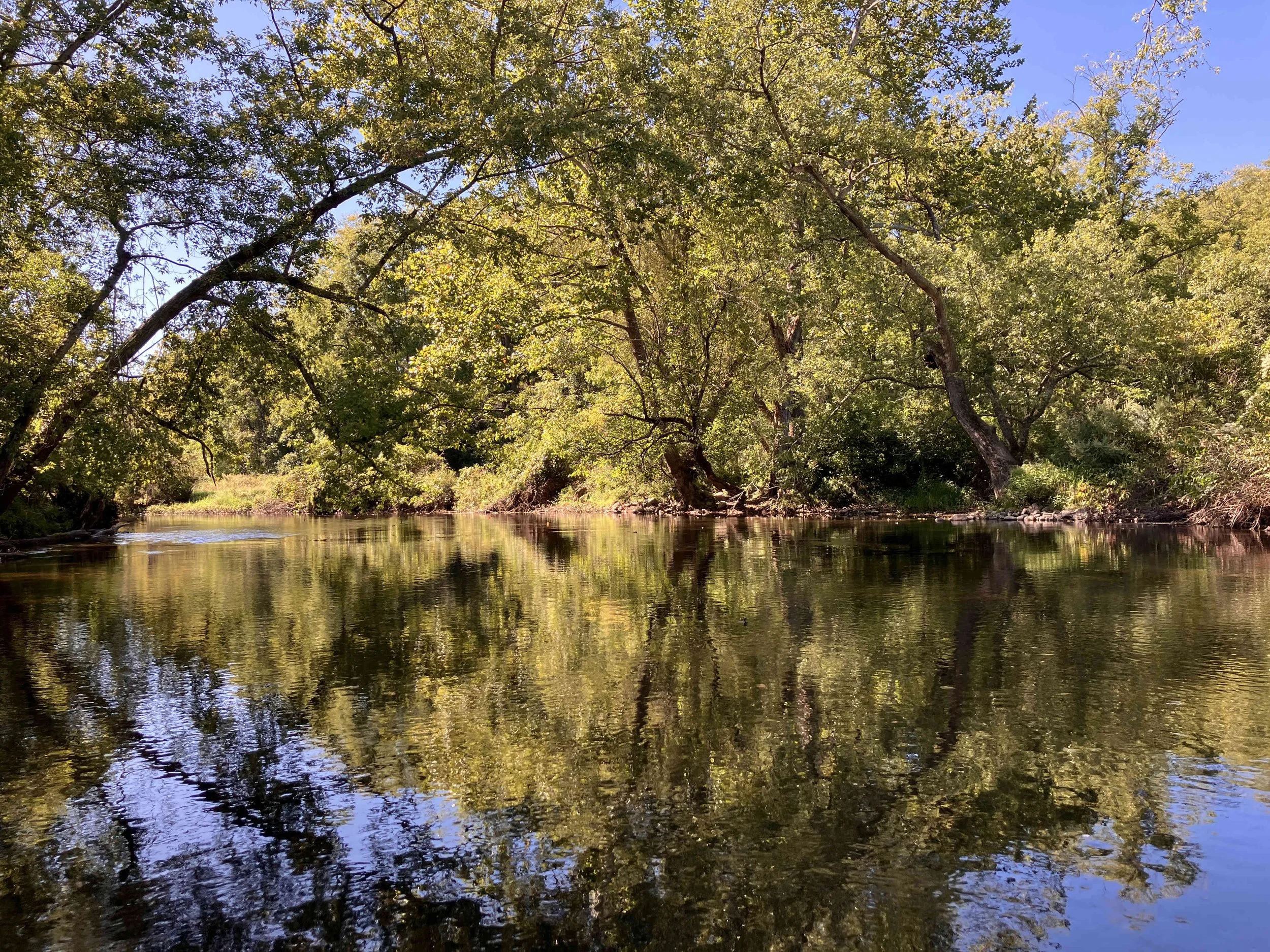
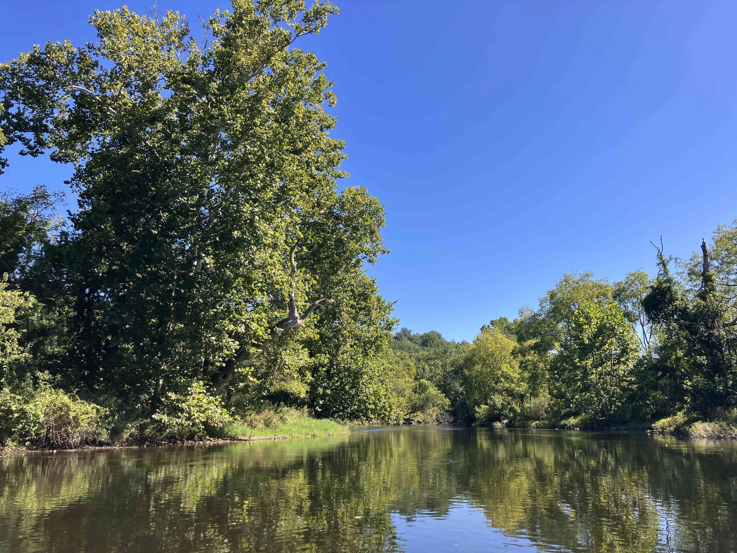
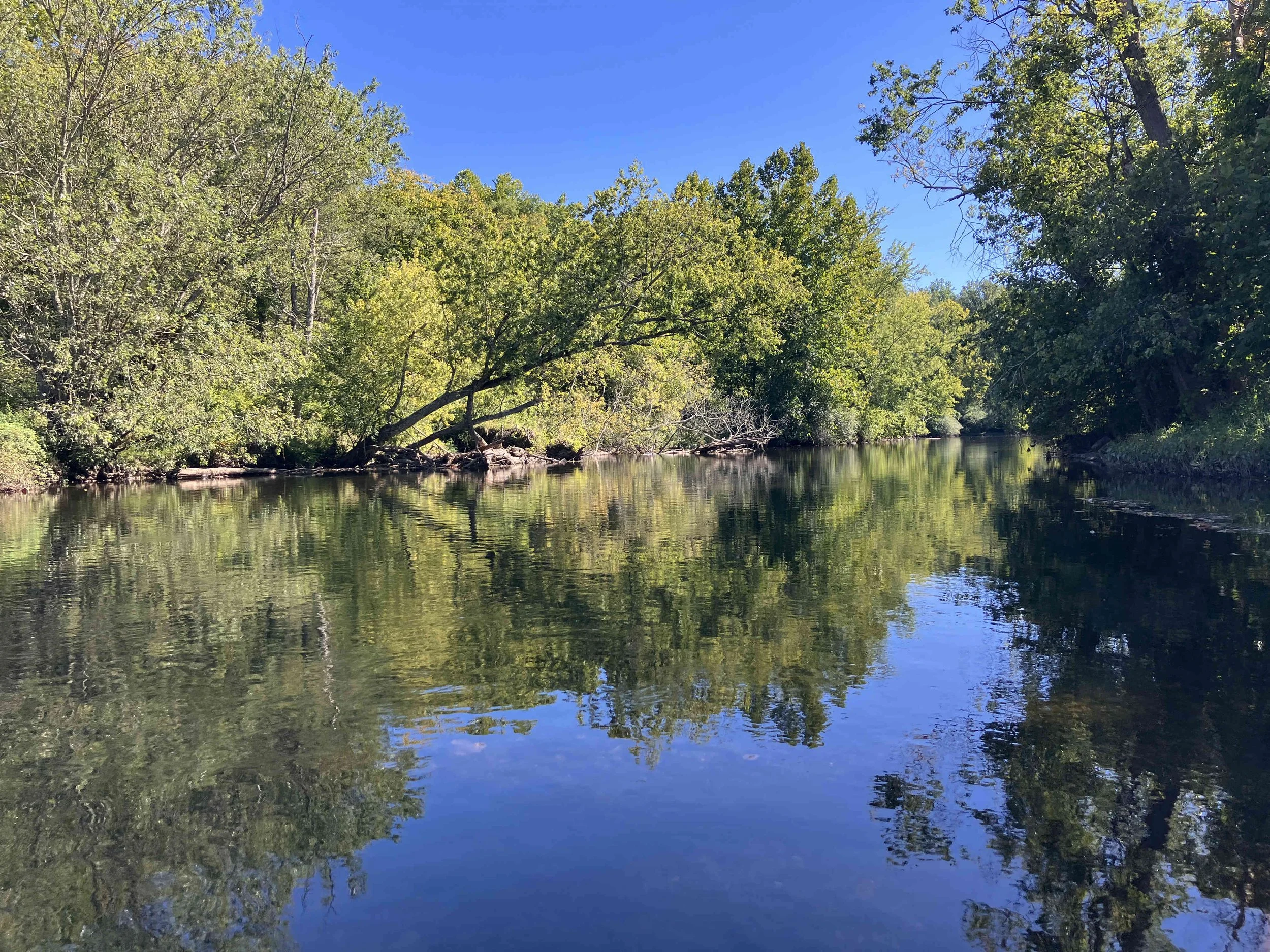
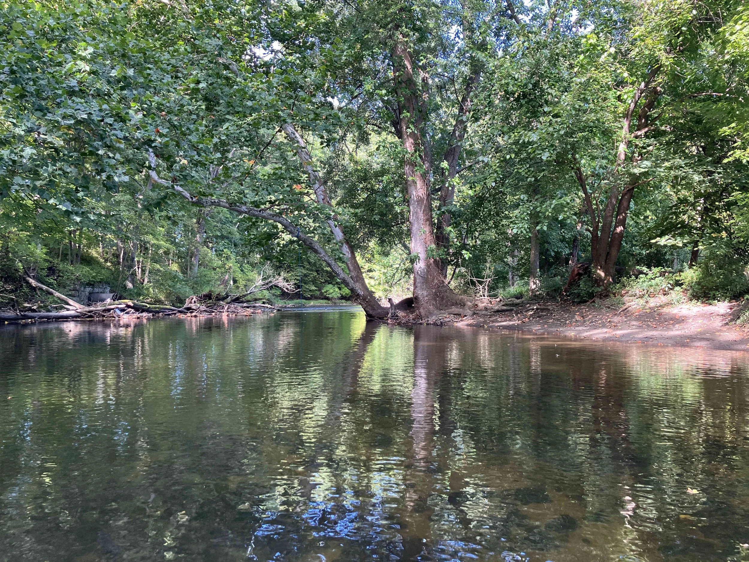
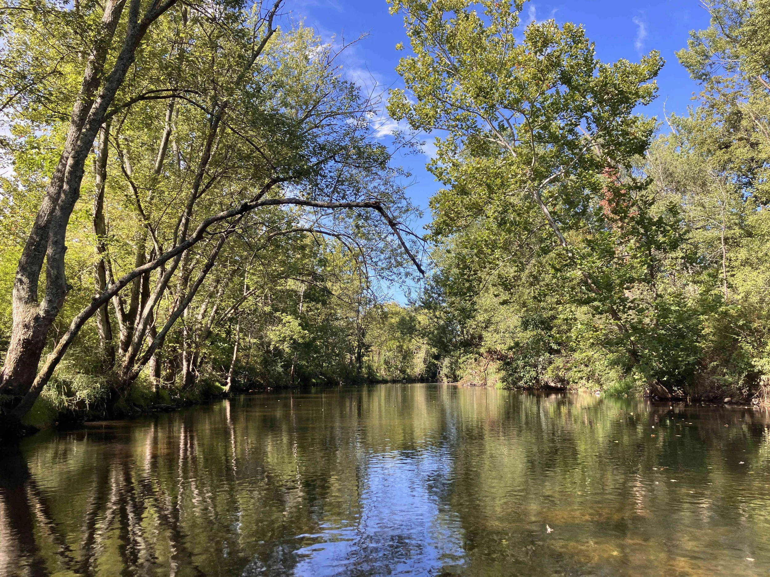
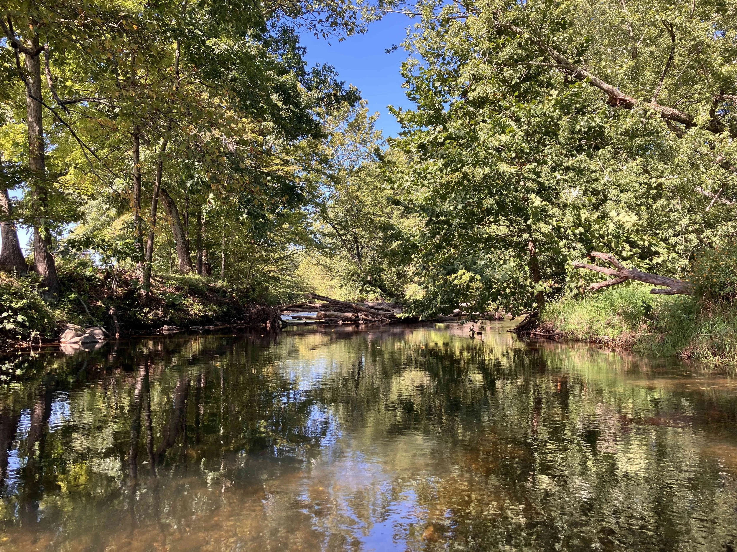
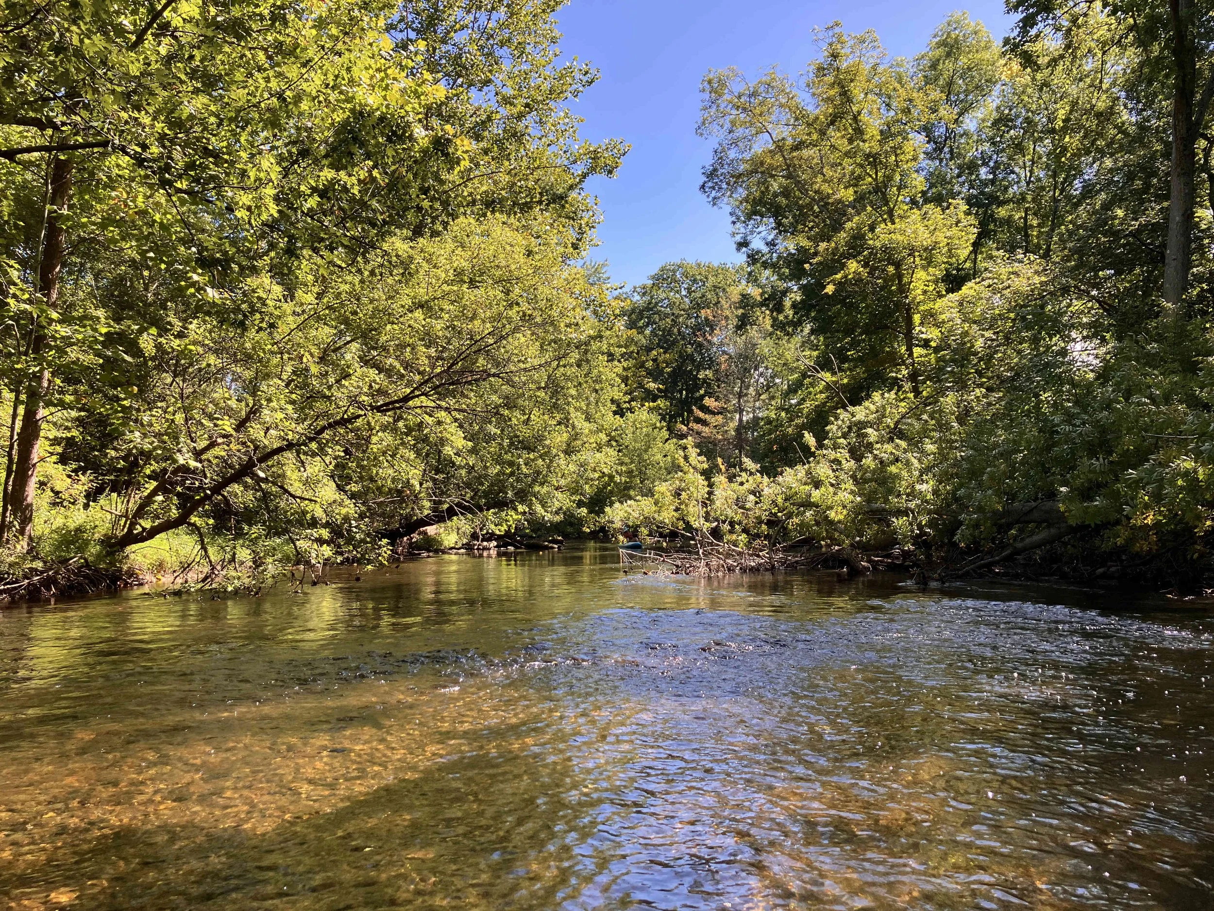
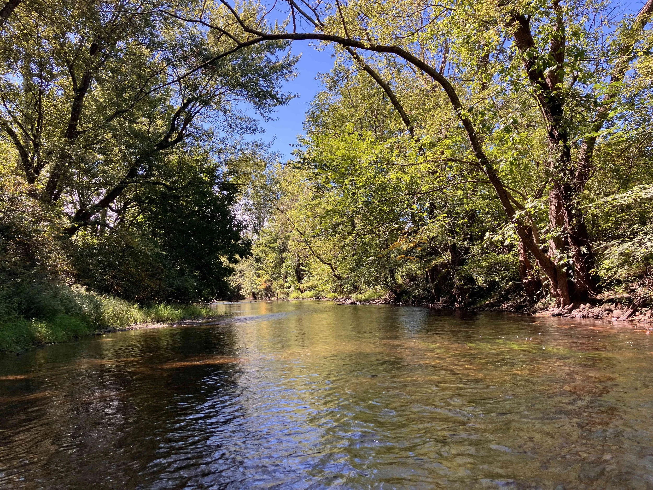
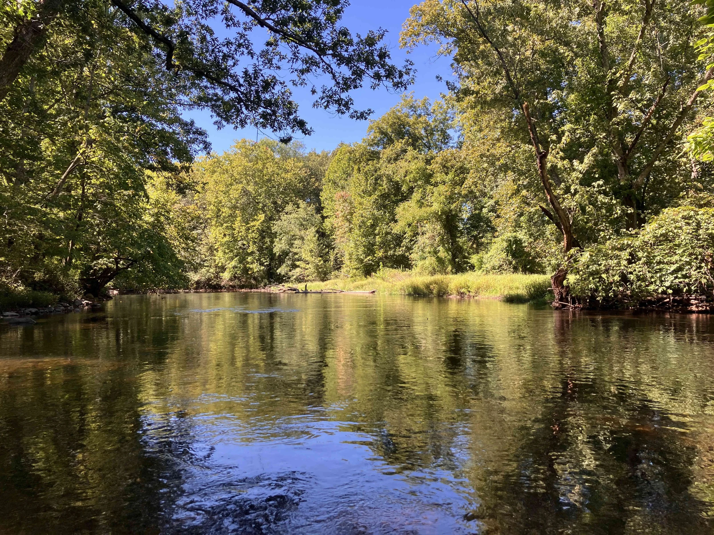
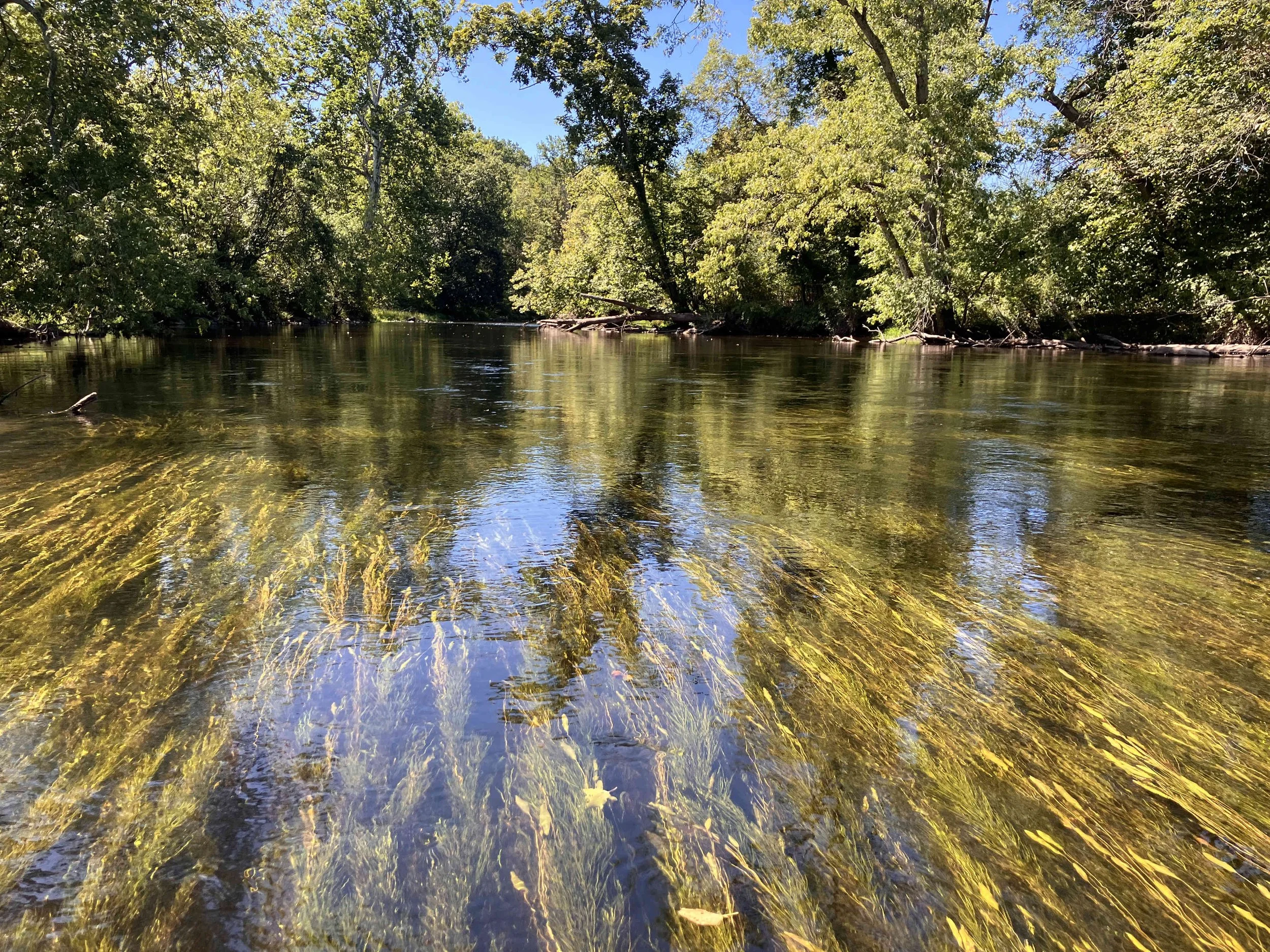
The Paulins Kill (also known as the Paulinskill River) is a tributary of the Delaware River. The section below Blairstown is, for the most part, navigable by kayak. The river is stunningly beautiful and wonderfully wild. The water is crystal clear. It is a real gem of a river.
Paulins Kill #1: Blairstown to Lambert Road
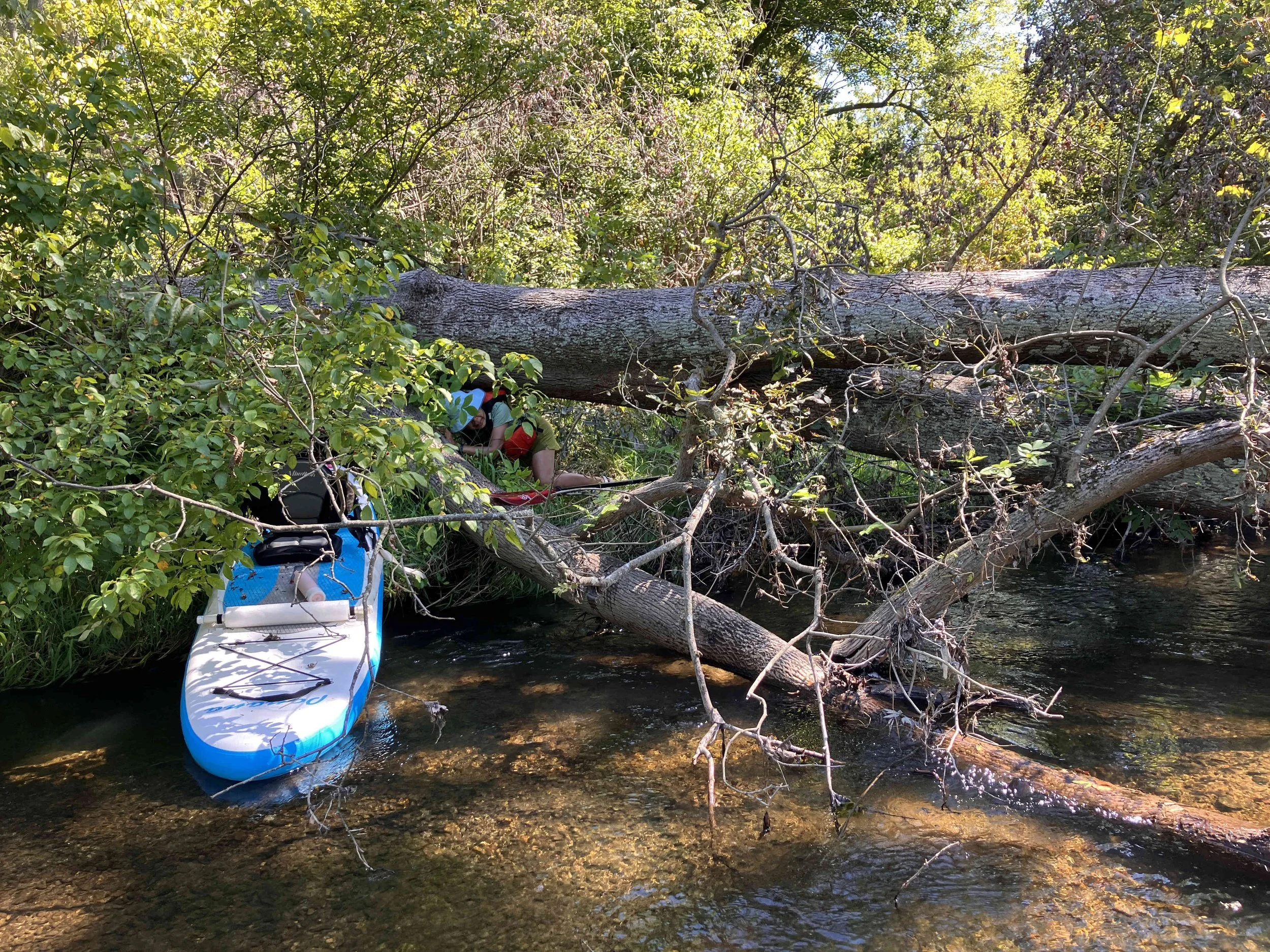
This section was fairly easy, until just upriver from Lambert Road, where there was a large pile of tress obstructing the river. Getting around and over took fifteen minutes of hard work. Launch in Footbridge Park.








Paulins Kill #2: Lambert Road to Vail Road
This section was fairly easy. There were no obstructions.

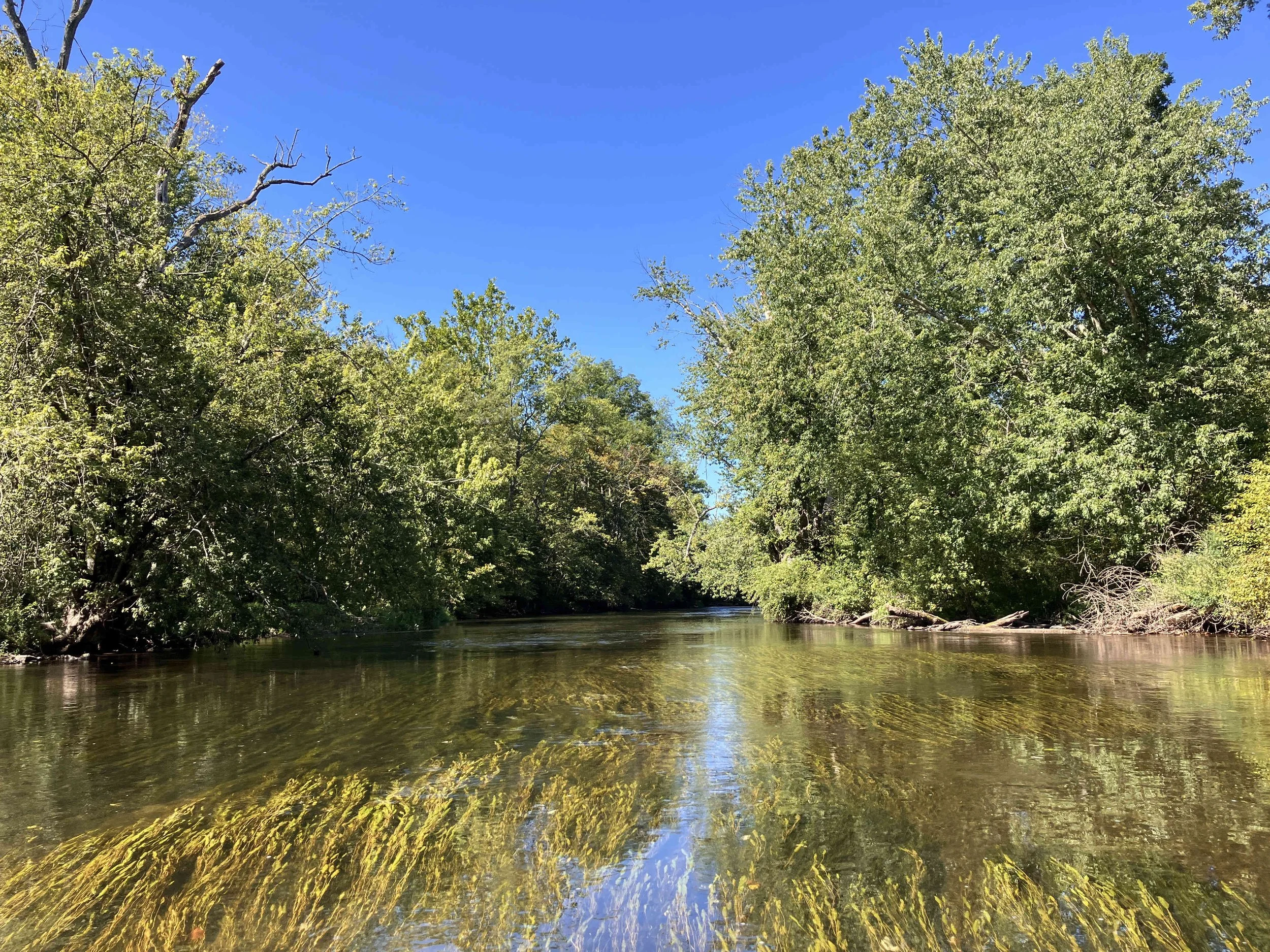


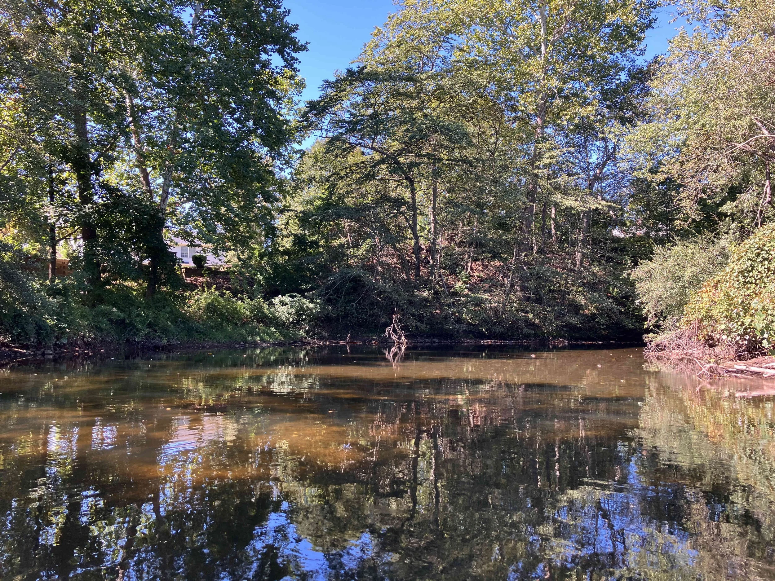


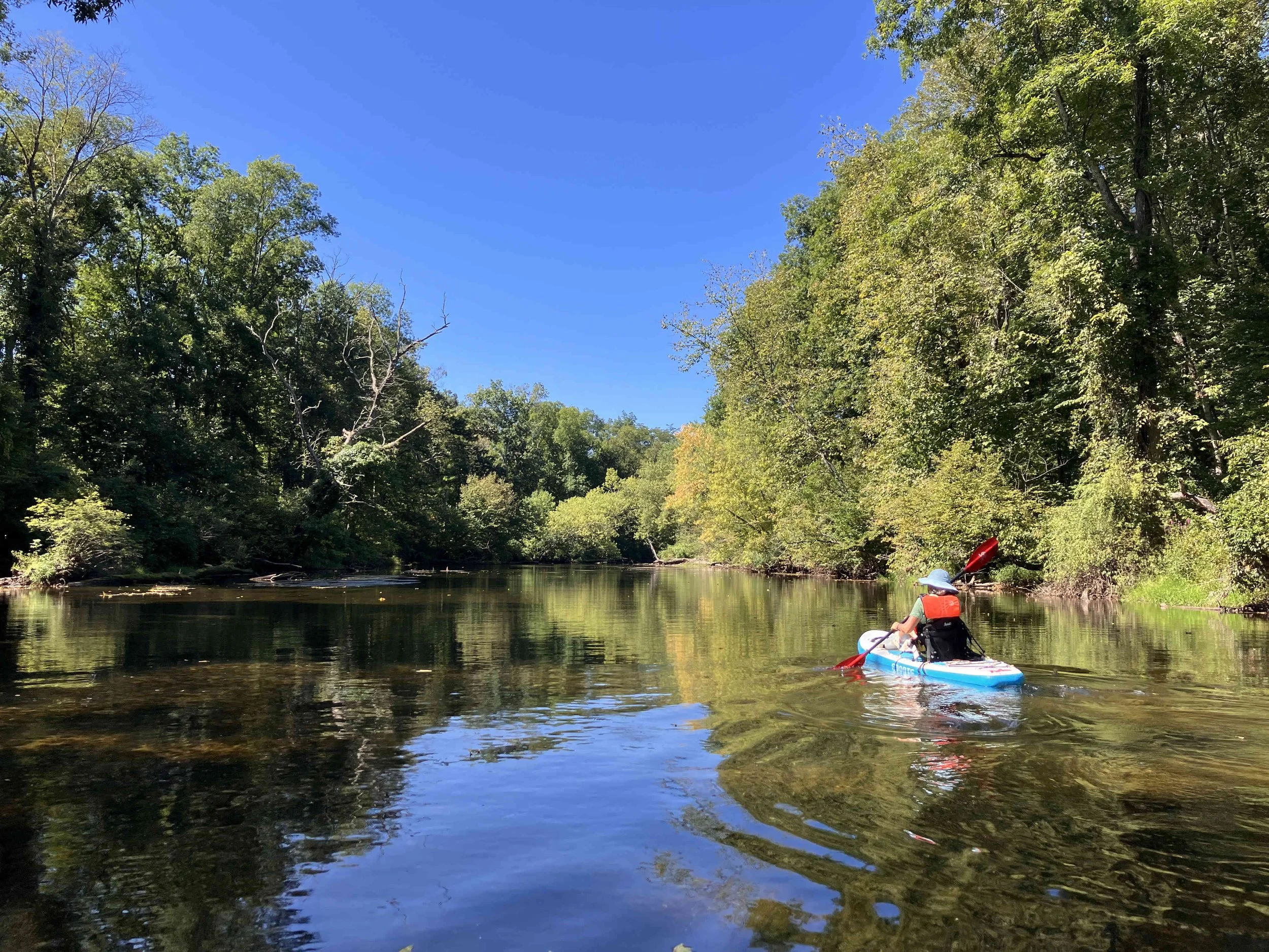
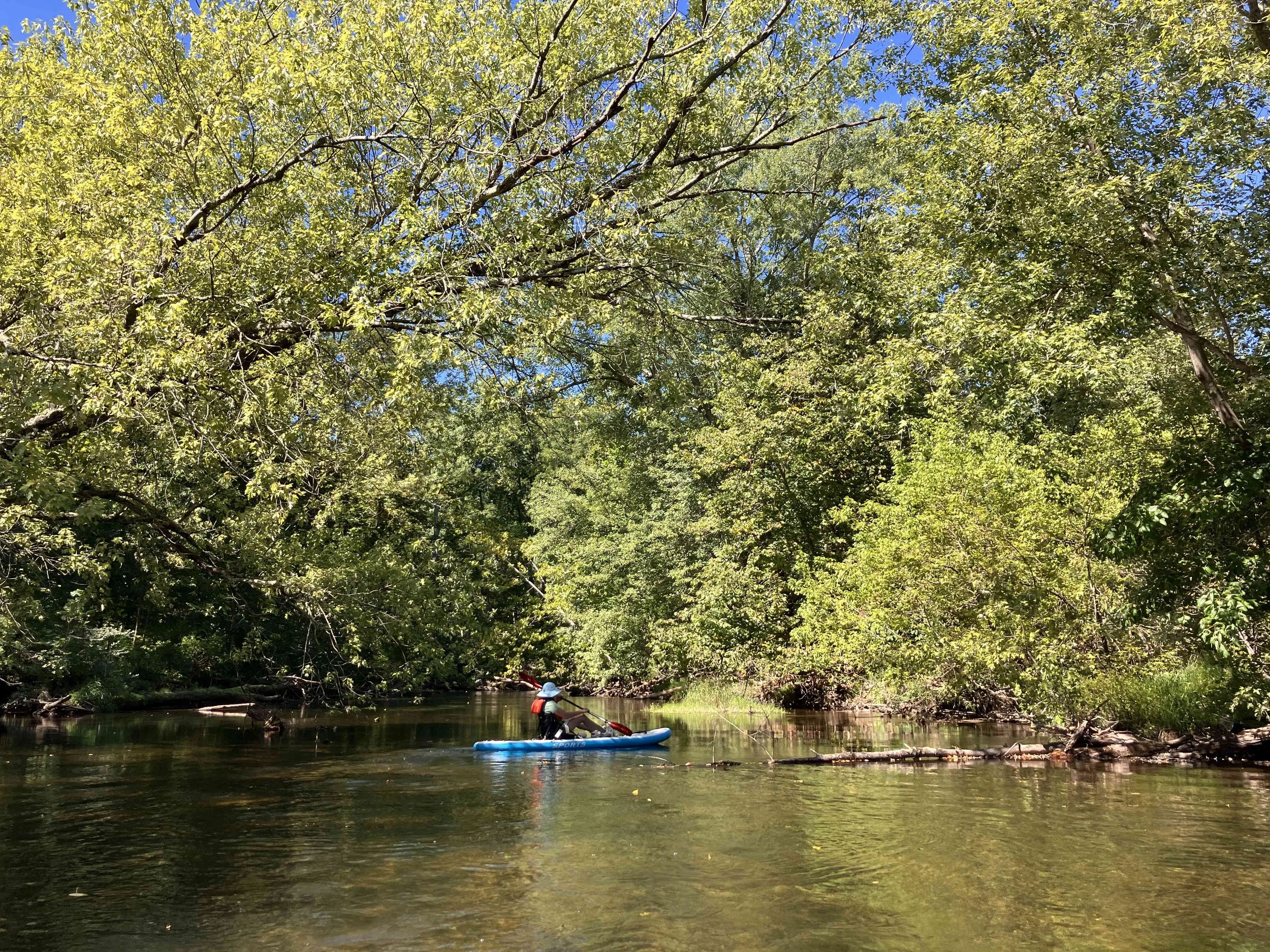







Paulins Kill #3: Vail Road to West Crimson Road
This section was fairly easy, until near the end, where there was an enormous pile of large trees obstructing the river. It took thirty minutes of hard work to get around.


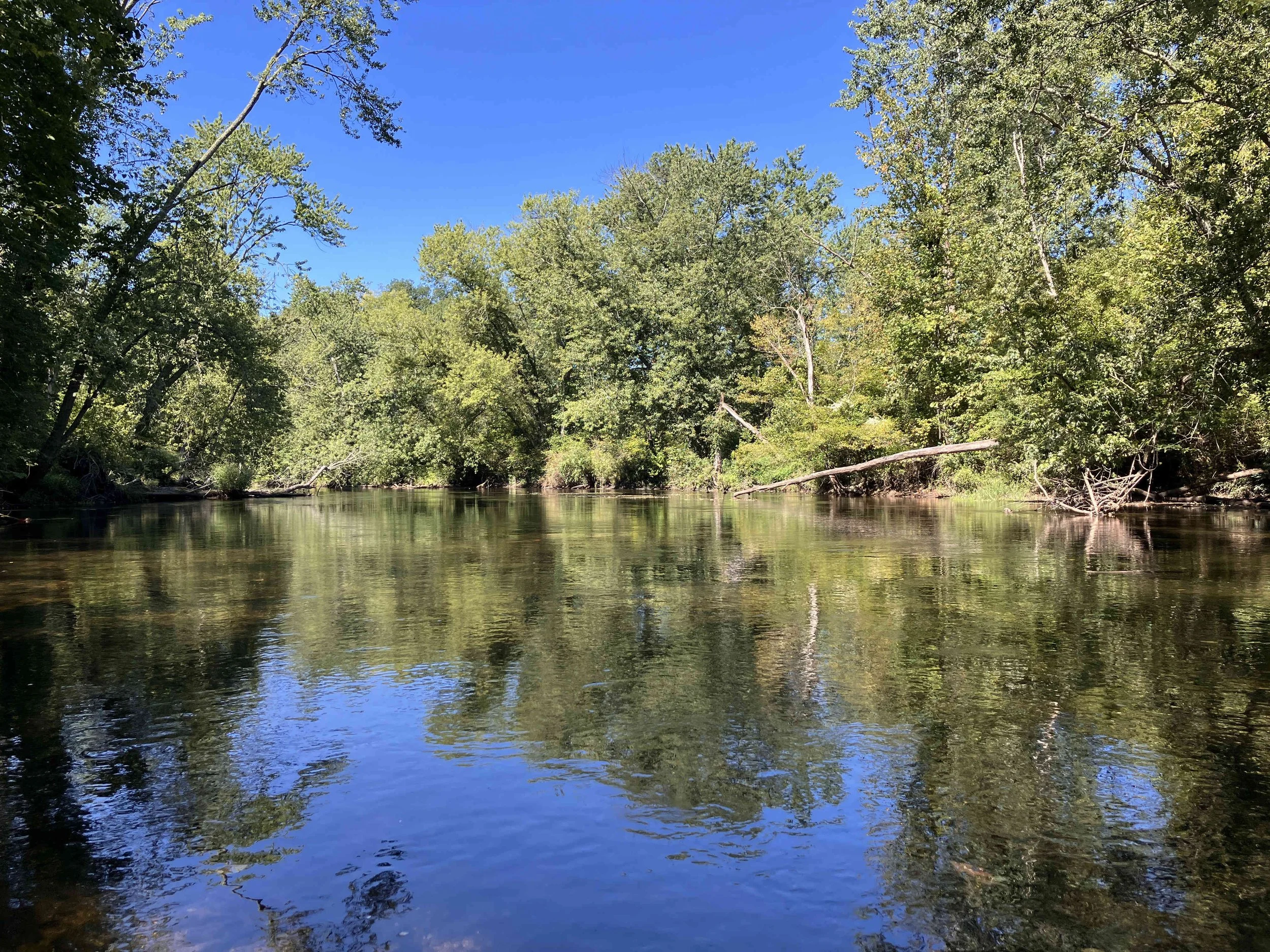


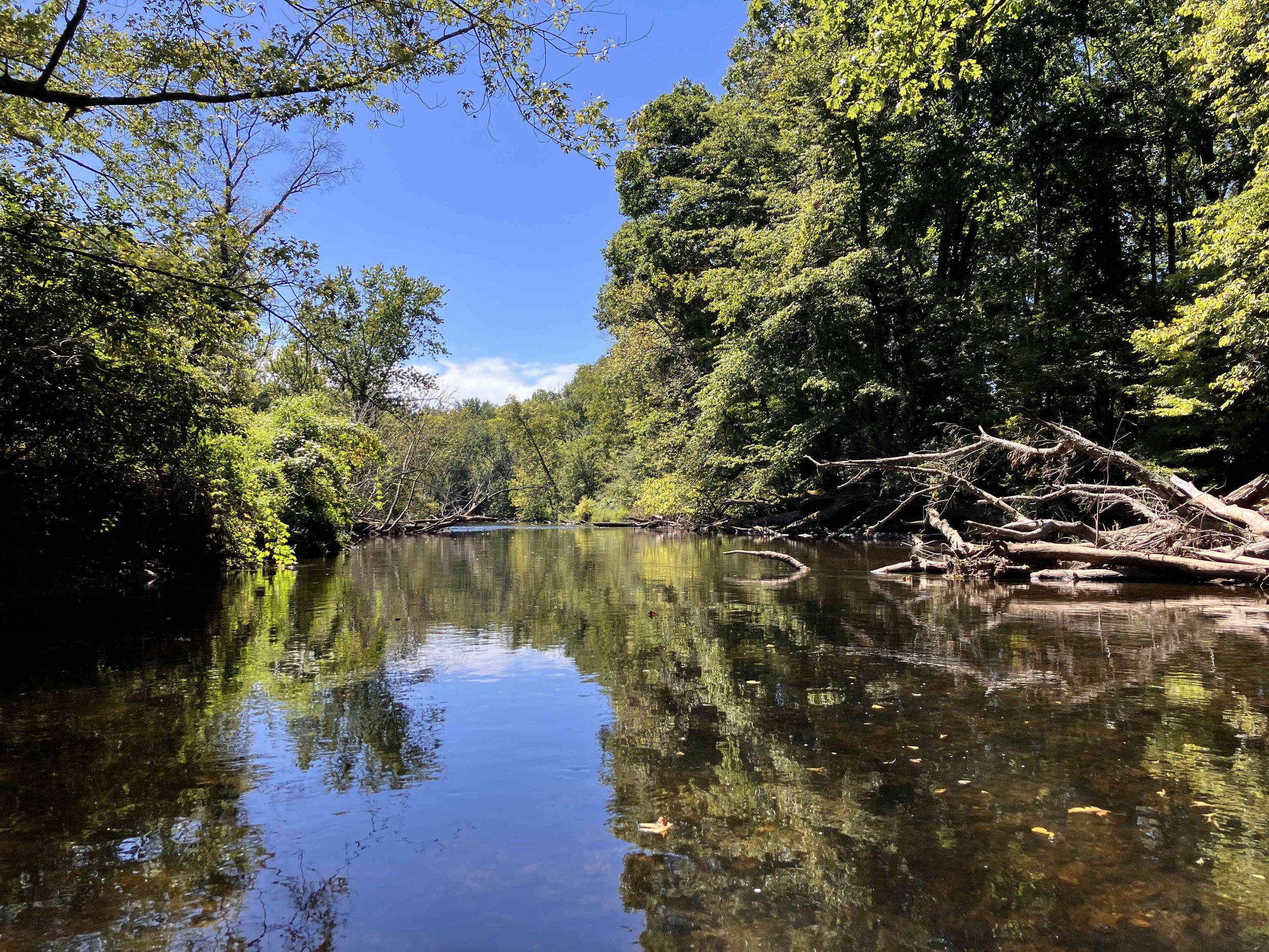

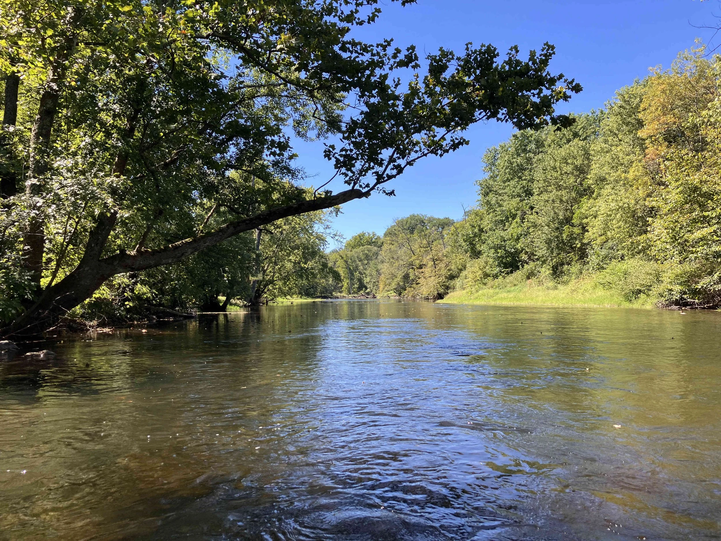


Paulins Kill #4: West Crimson Road to Station Road
There were no obstructions on this section.


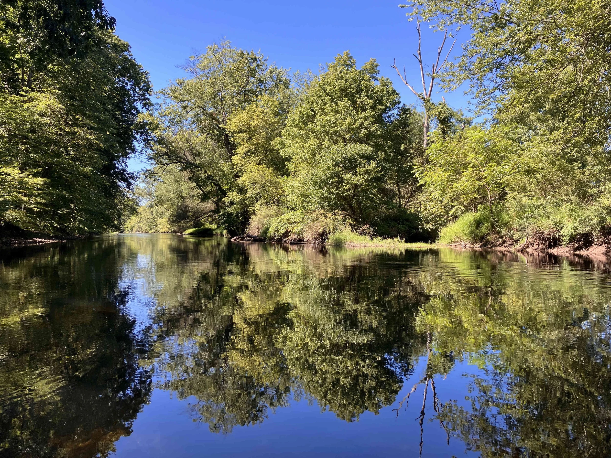


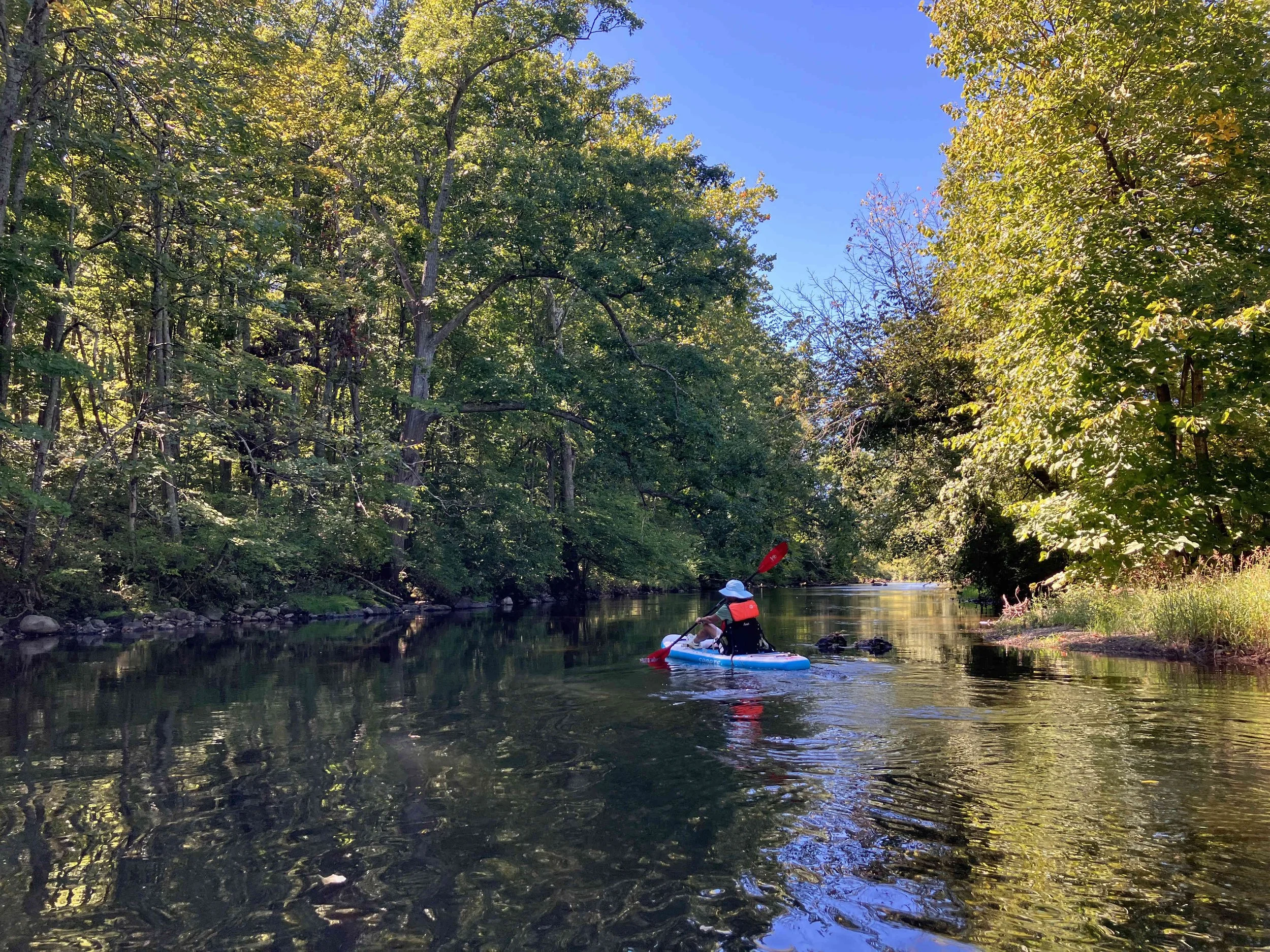


Paulins Kill #5: Station Road to Brugler Road
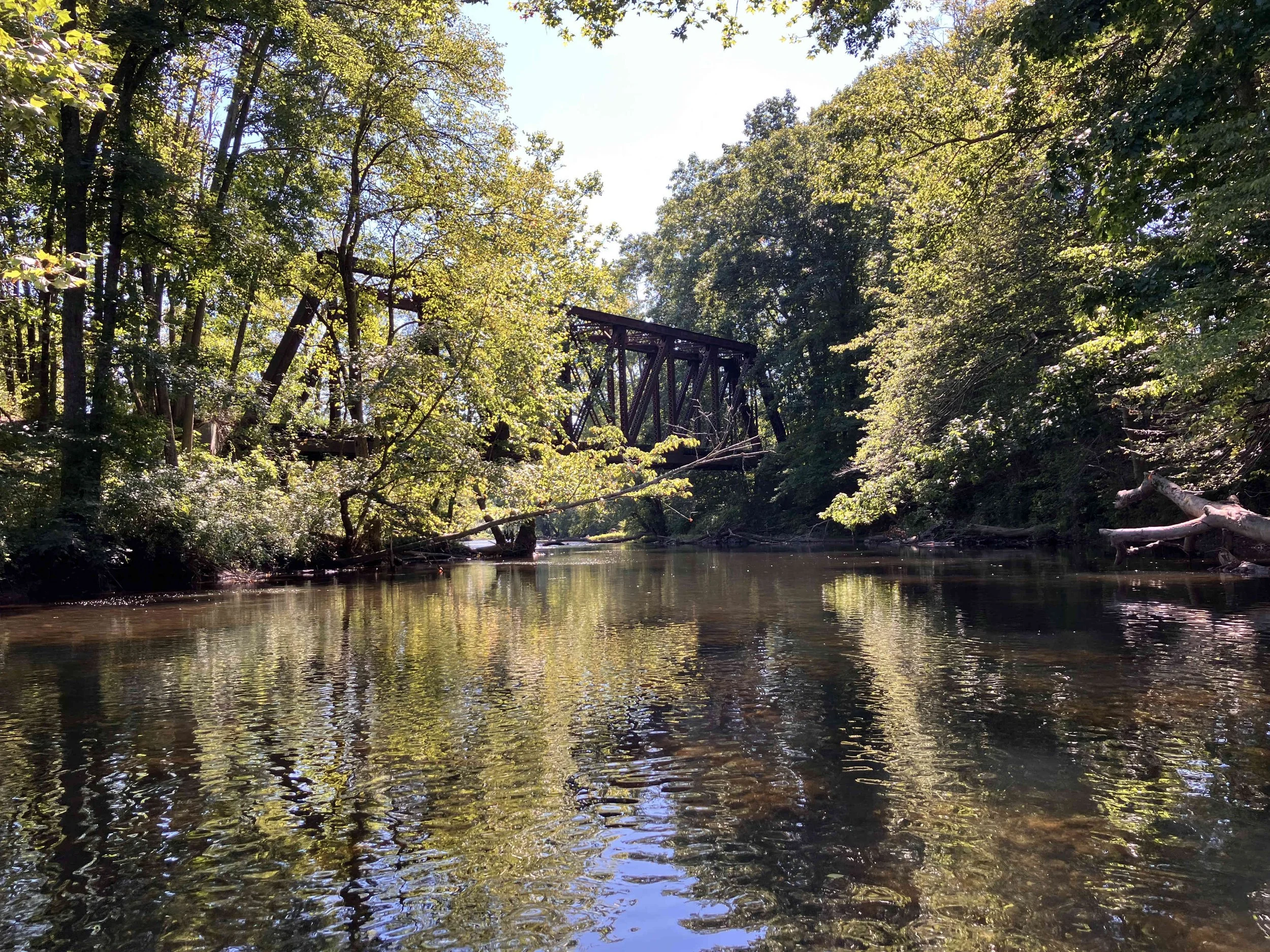
This section starts with some whitewater. The river calms for a bit, then begins to flow down through a large boulder field. We walked for fifty yards. The rest was easy. There were two interesting old railroad bridges.