Pompton River
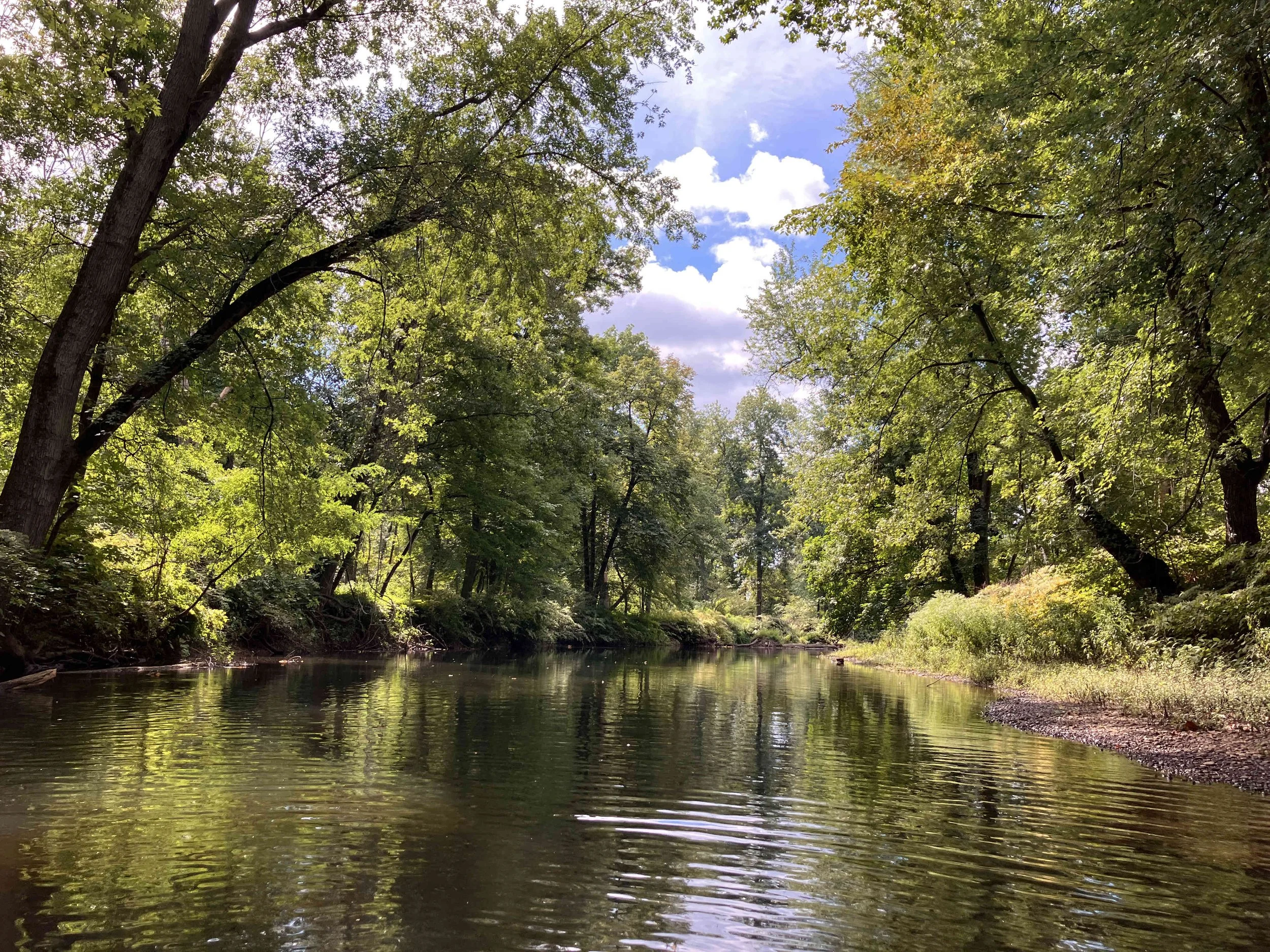
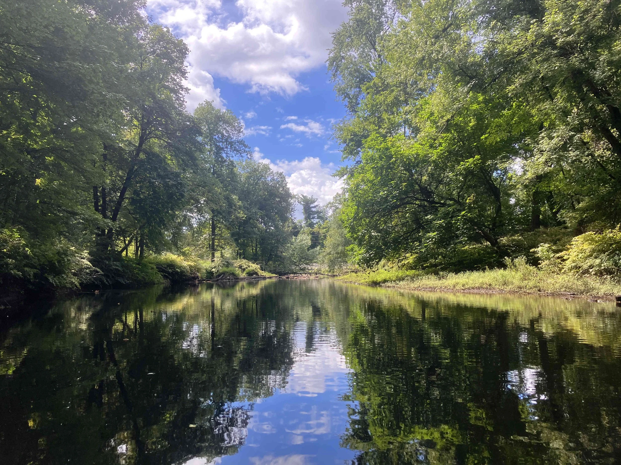
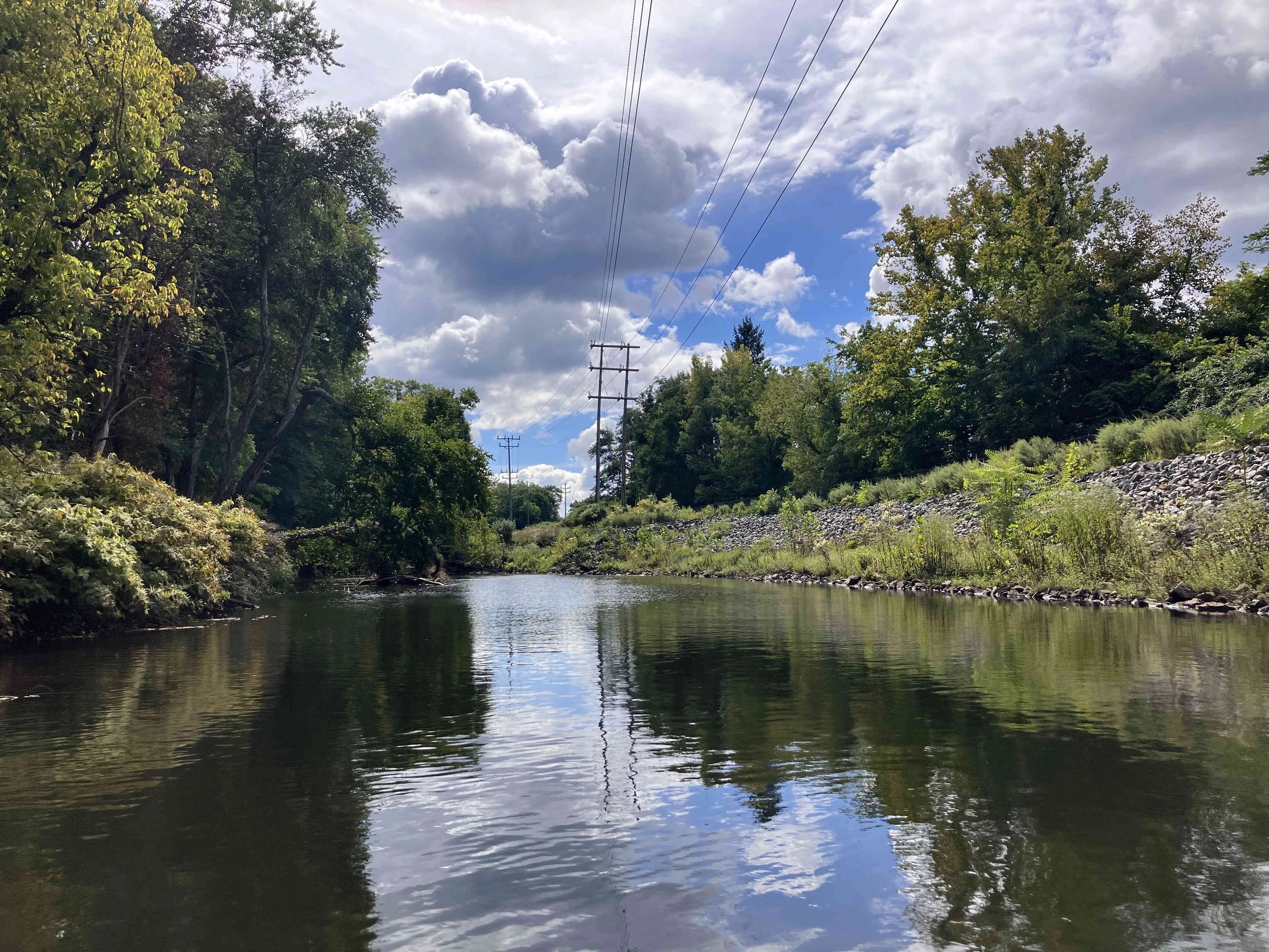
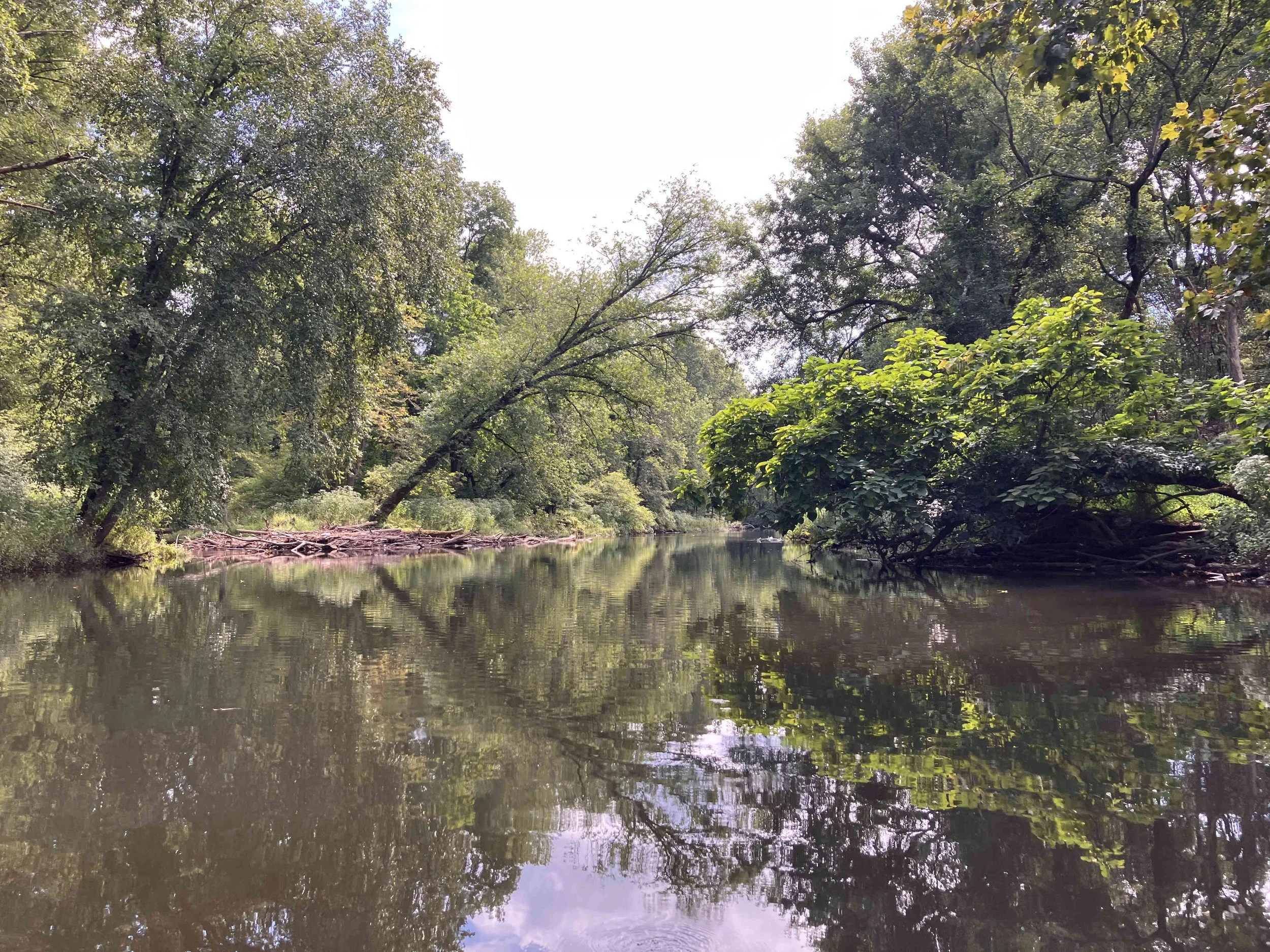
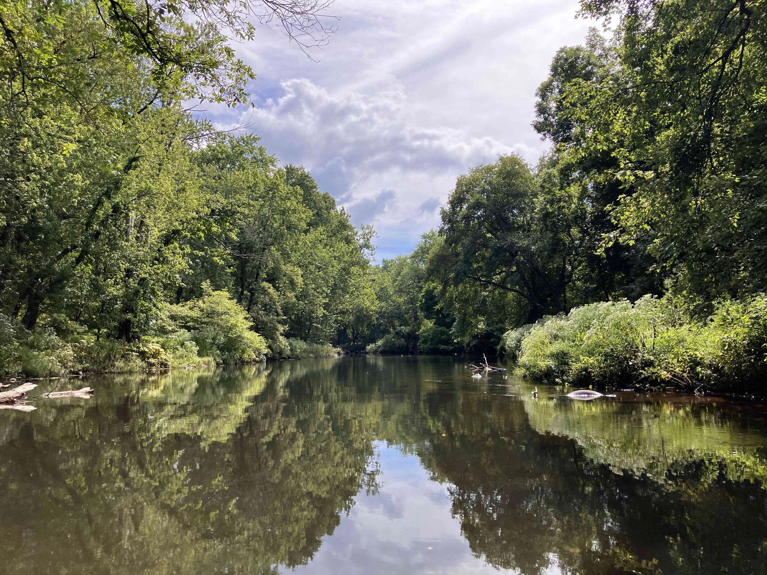
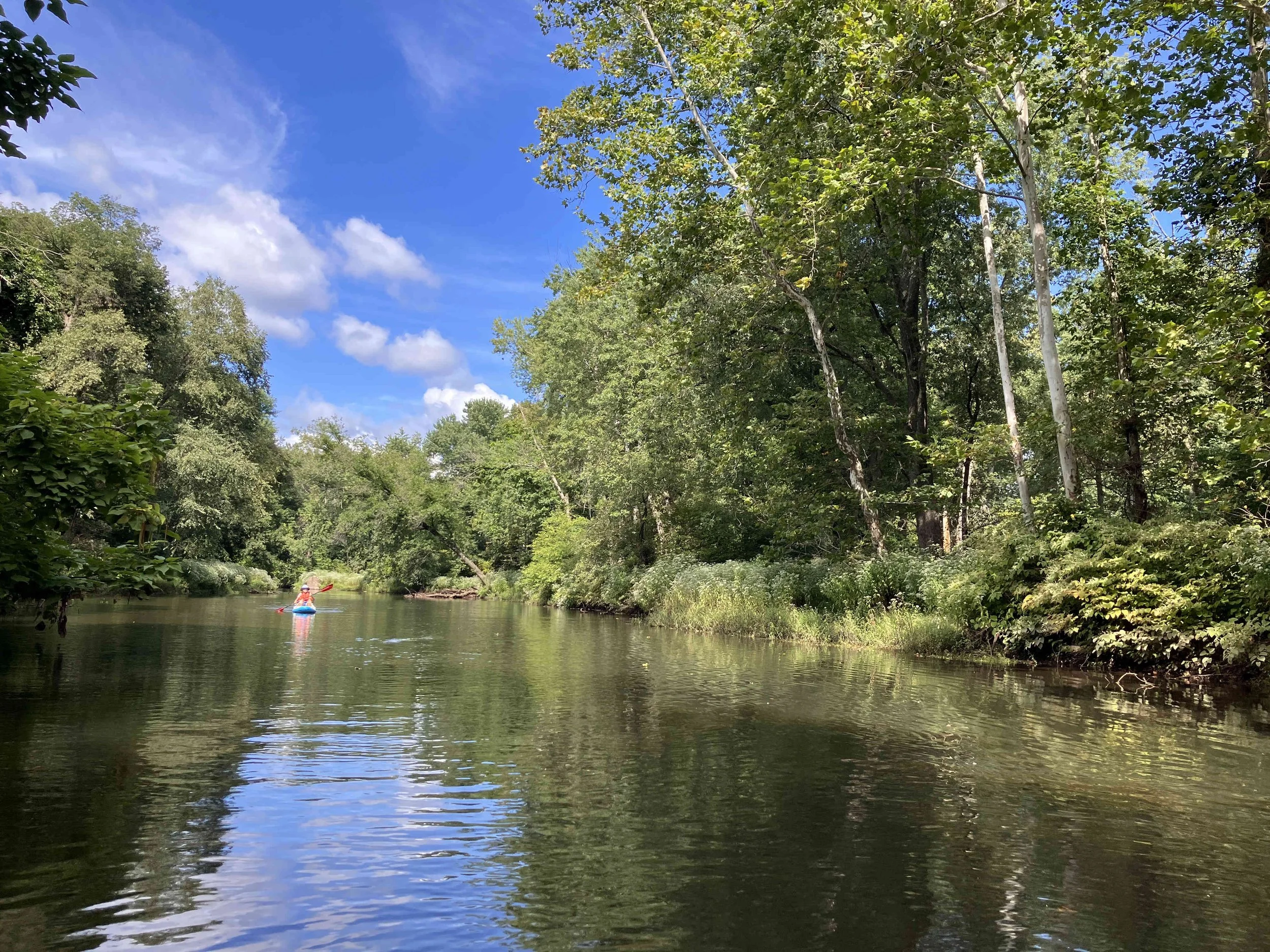
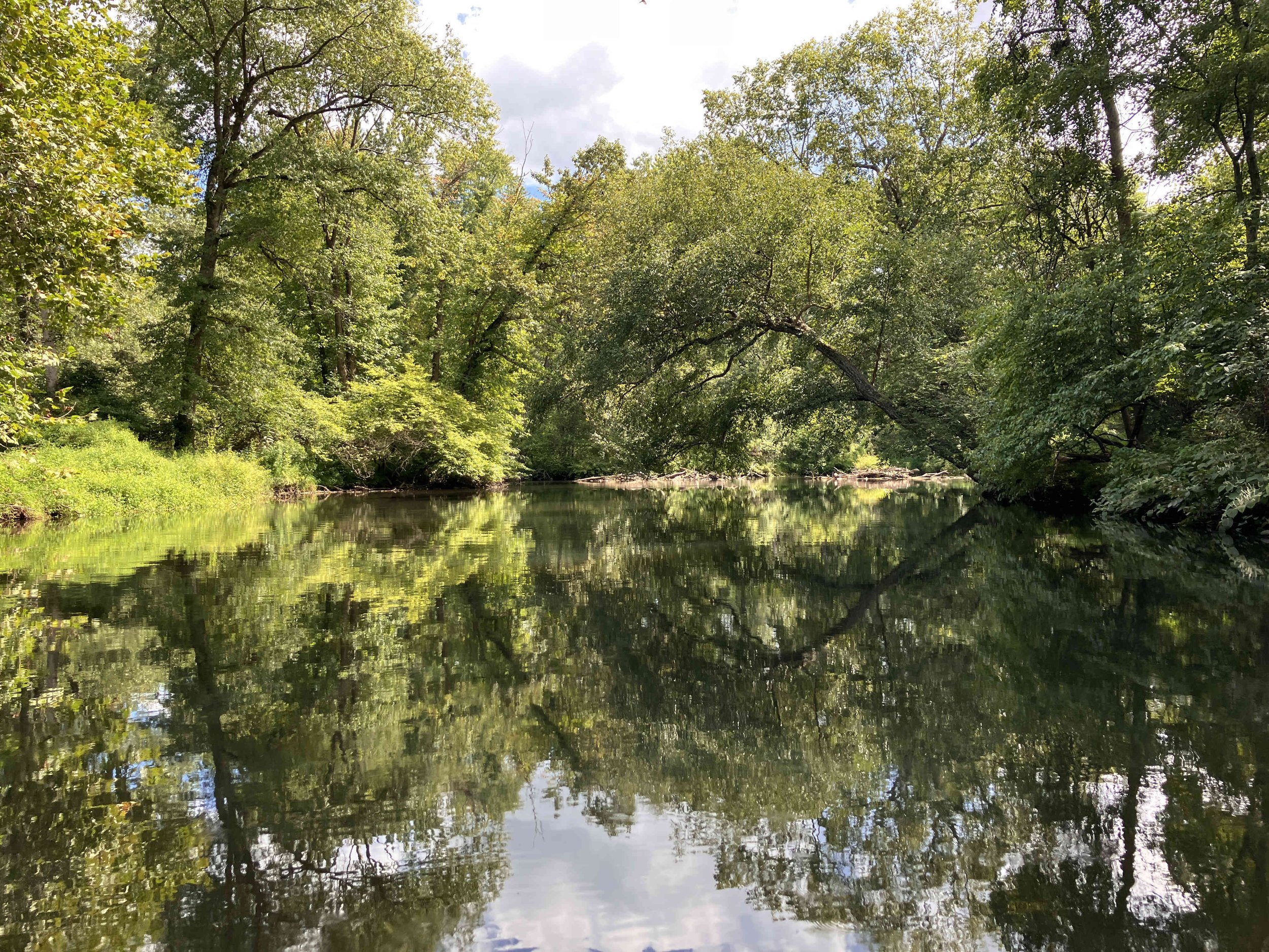
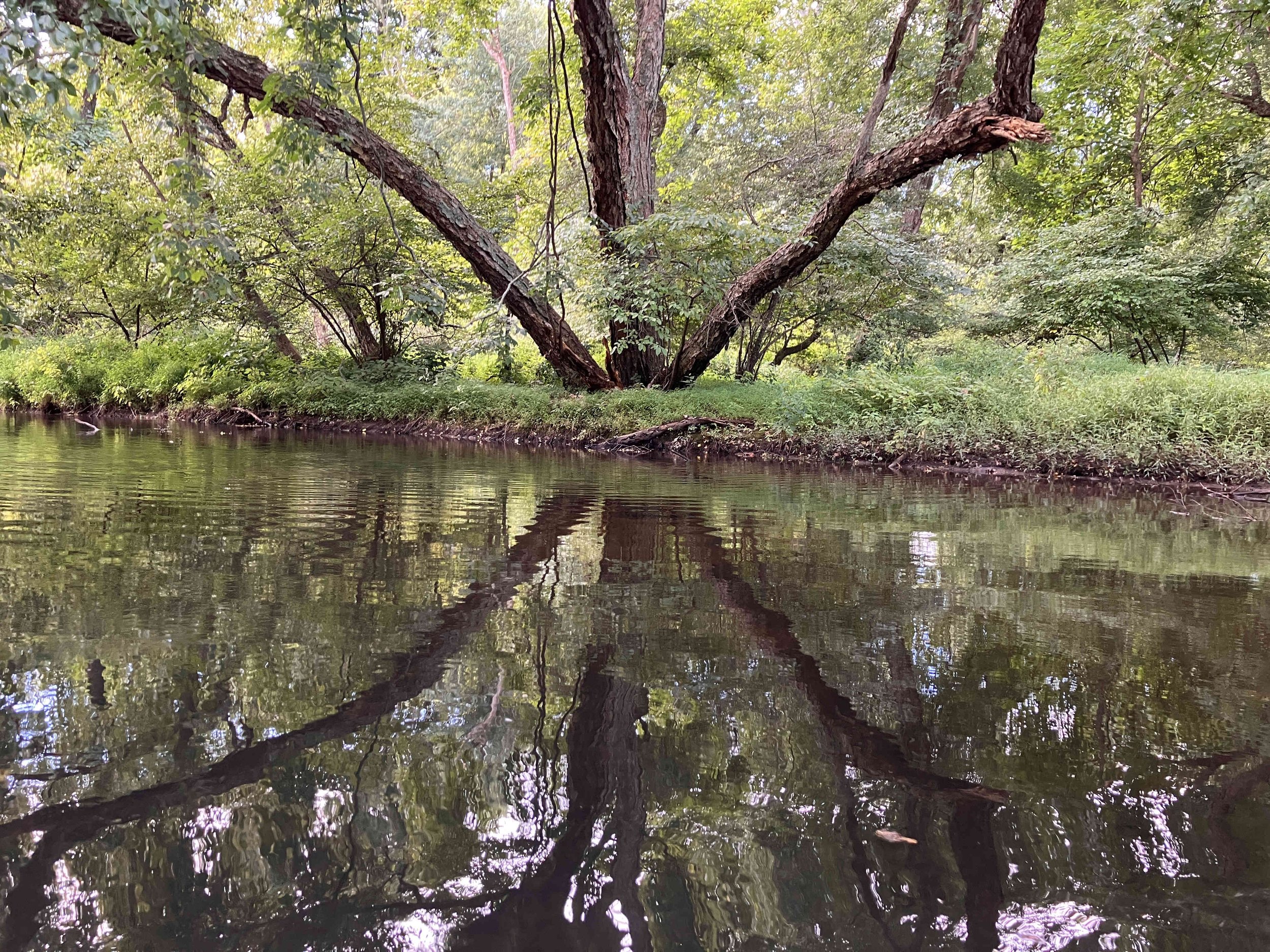
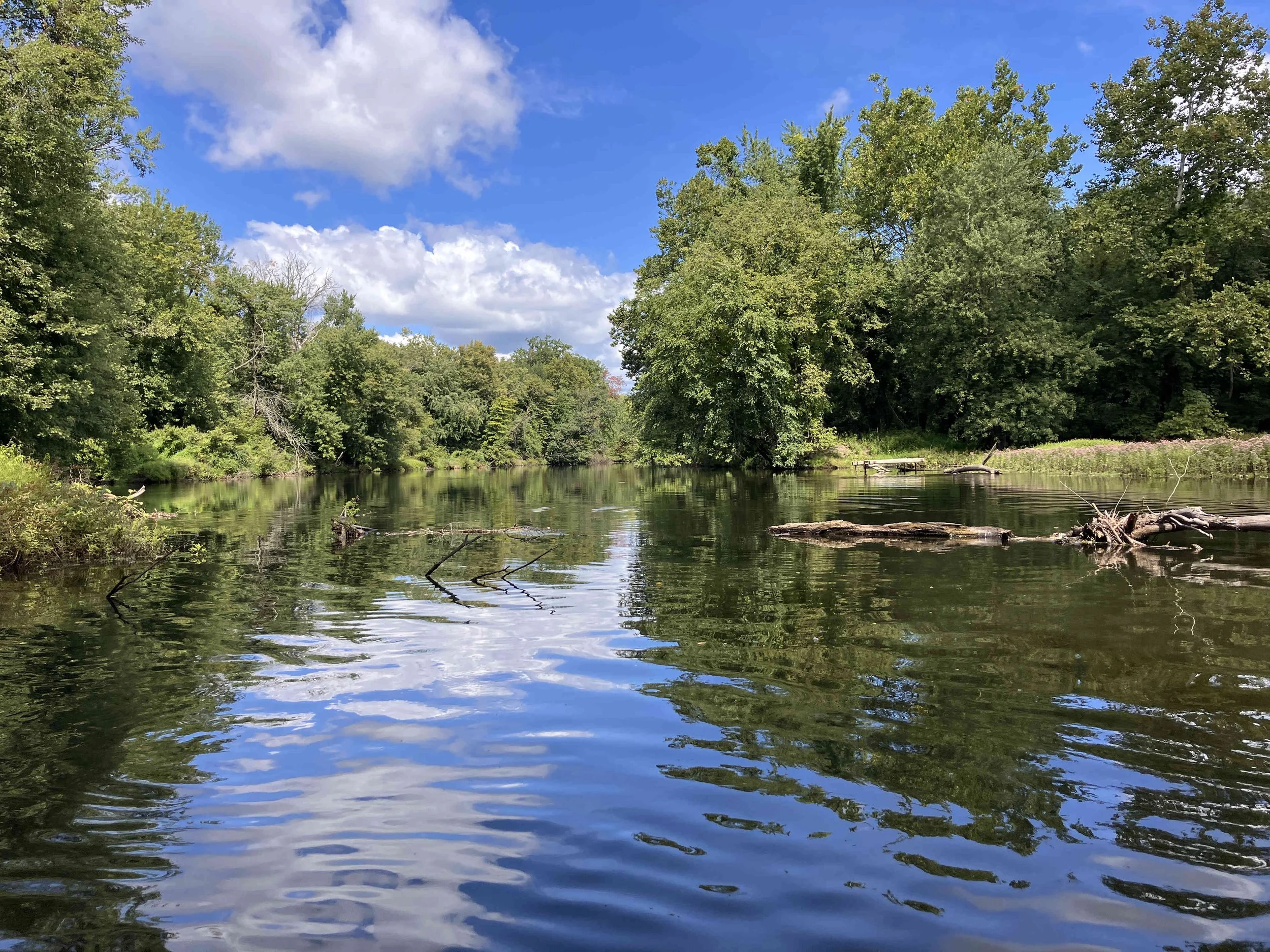
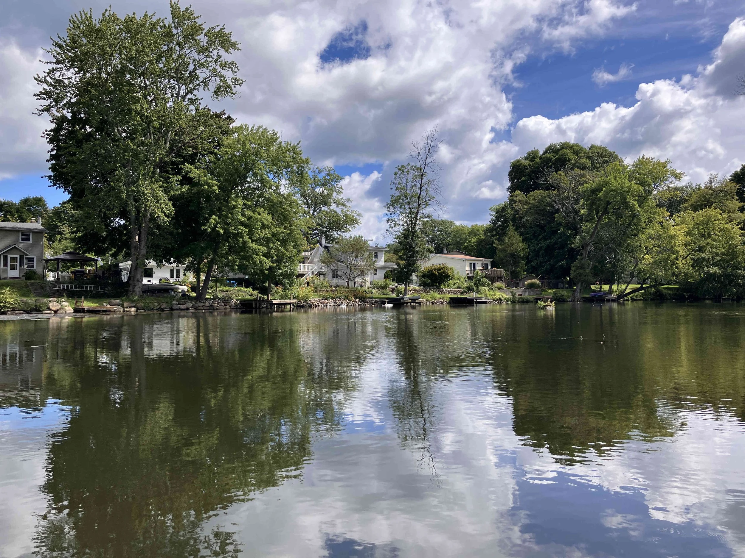
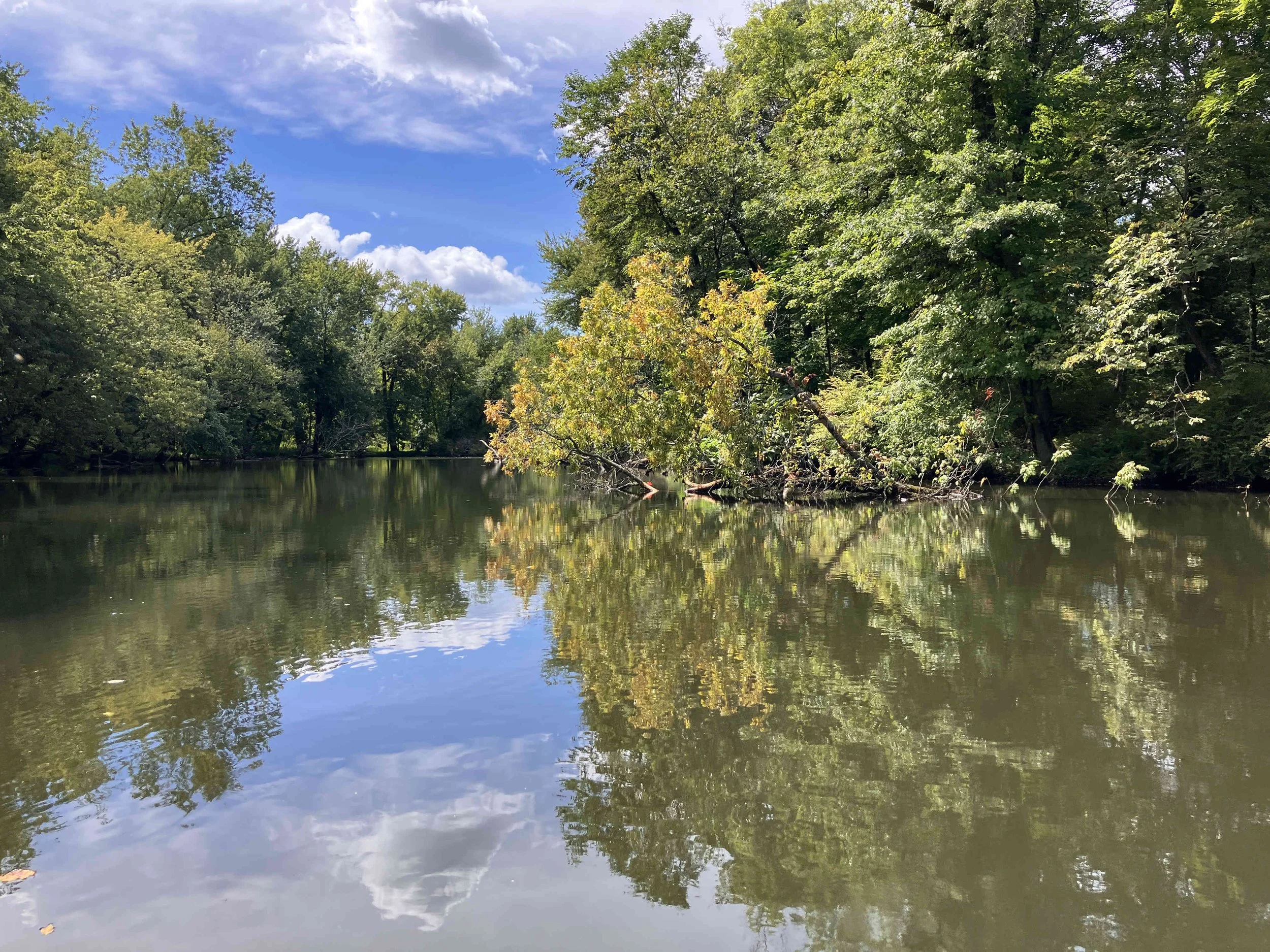
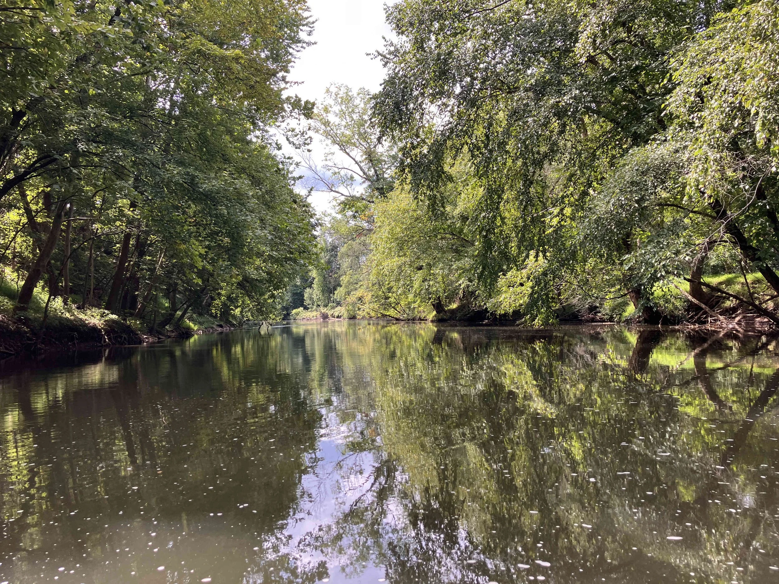
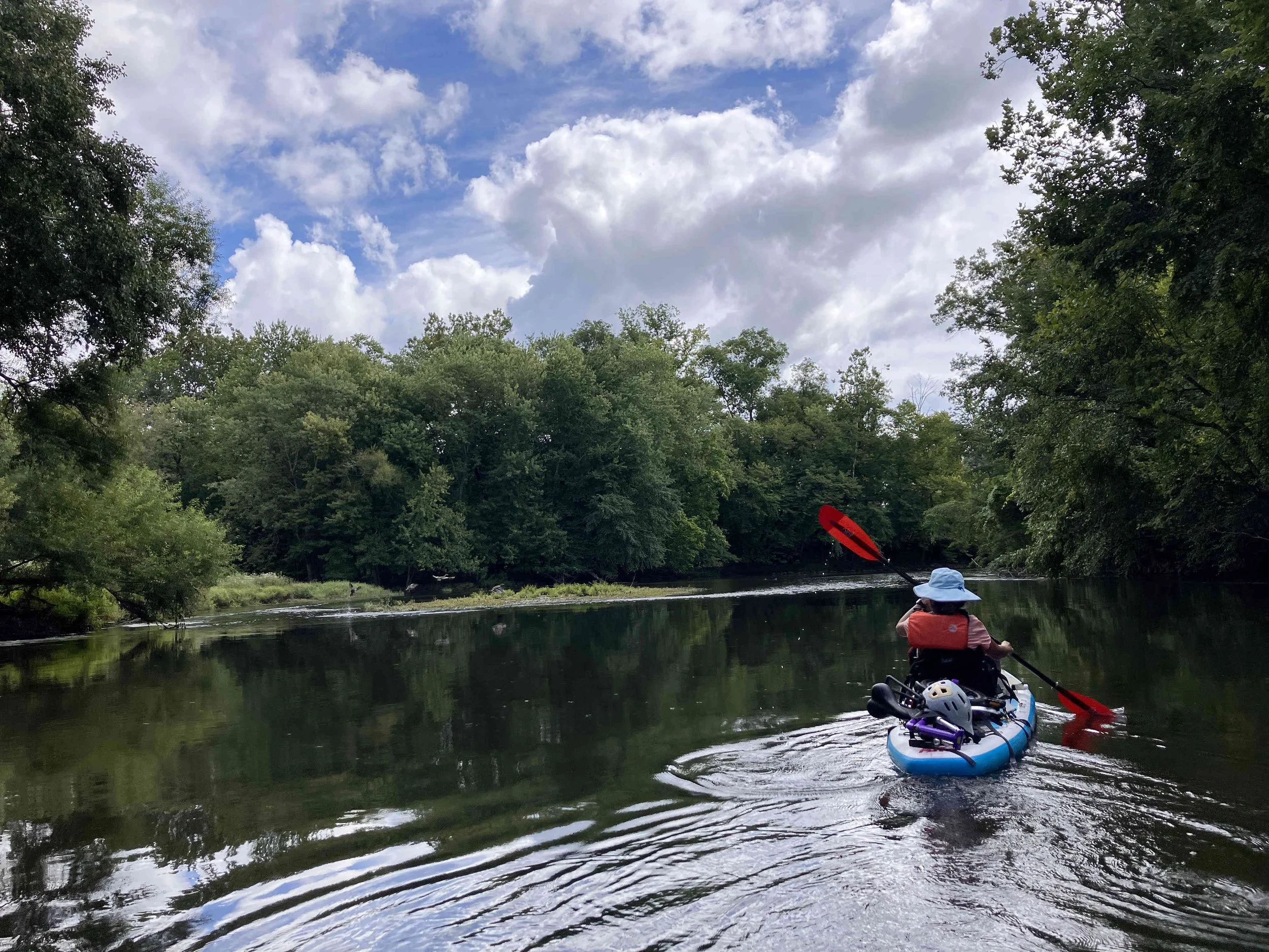
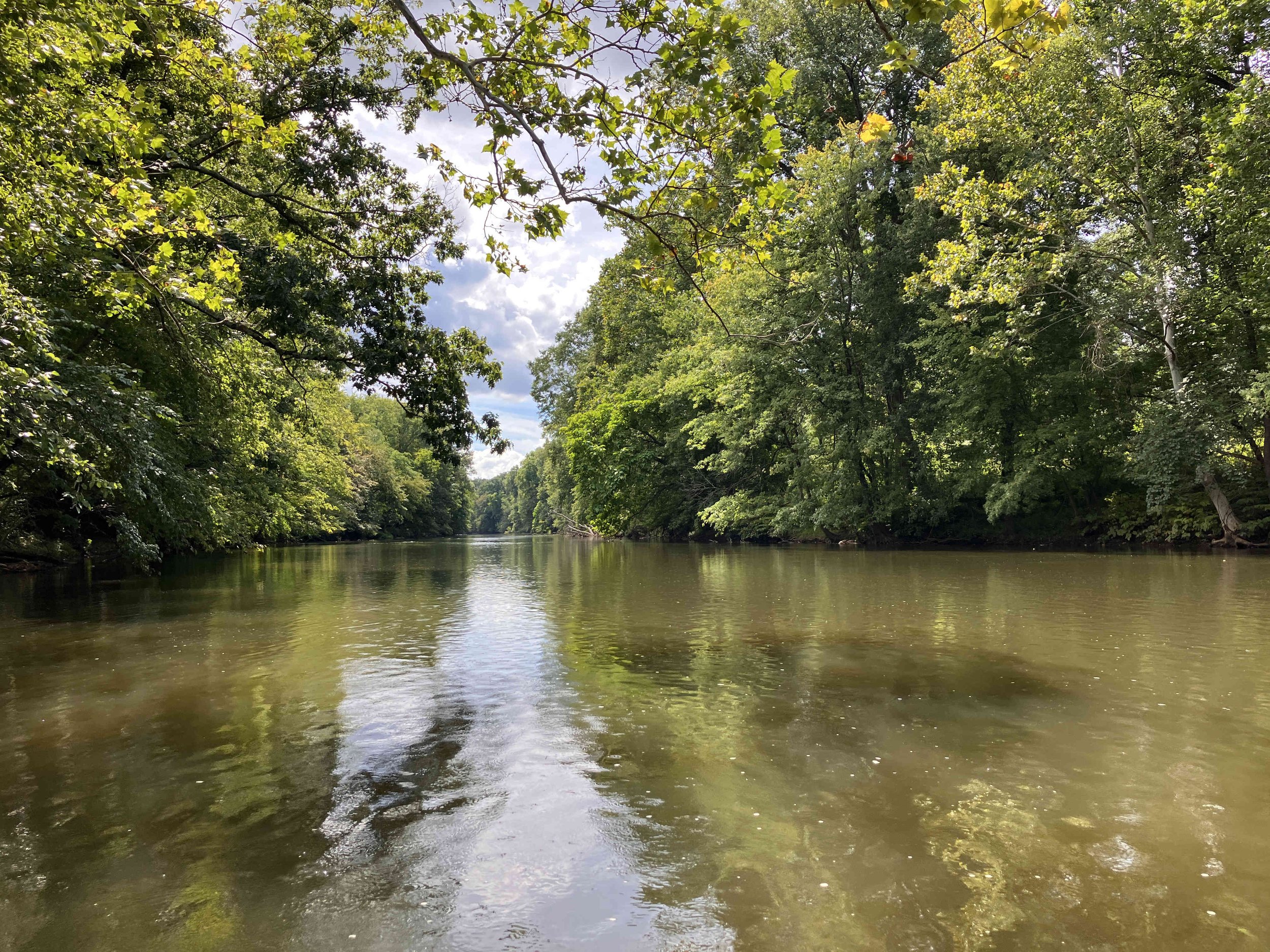
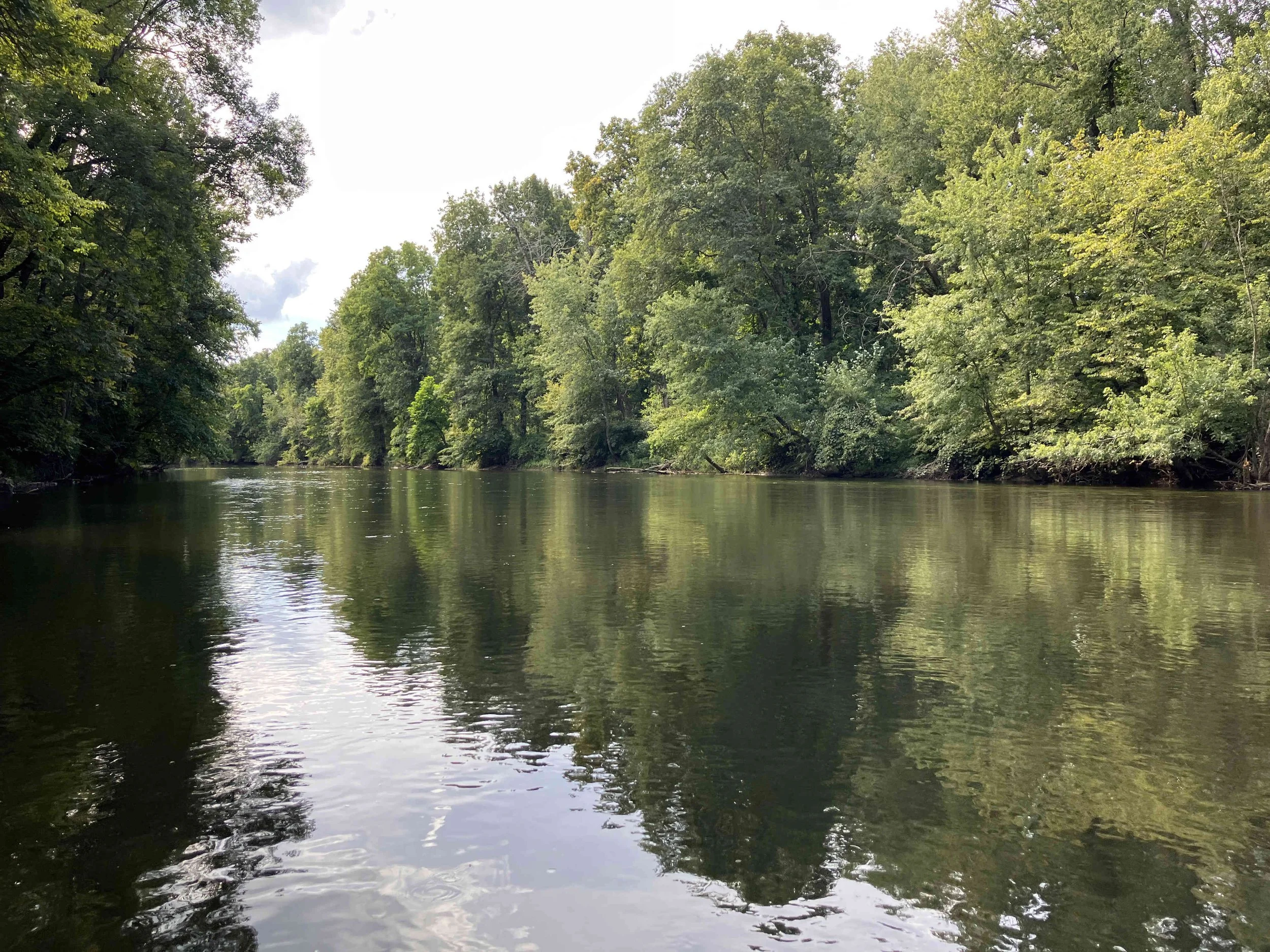
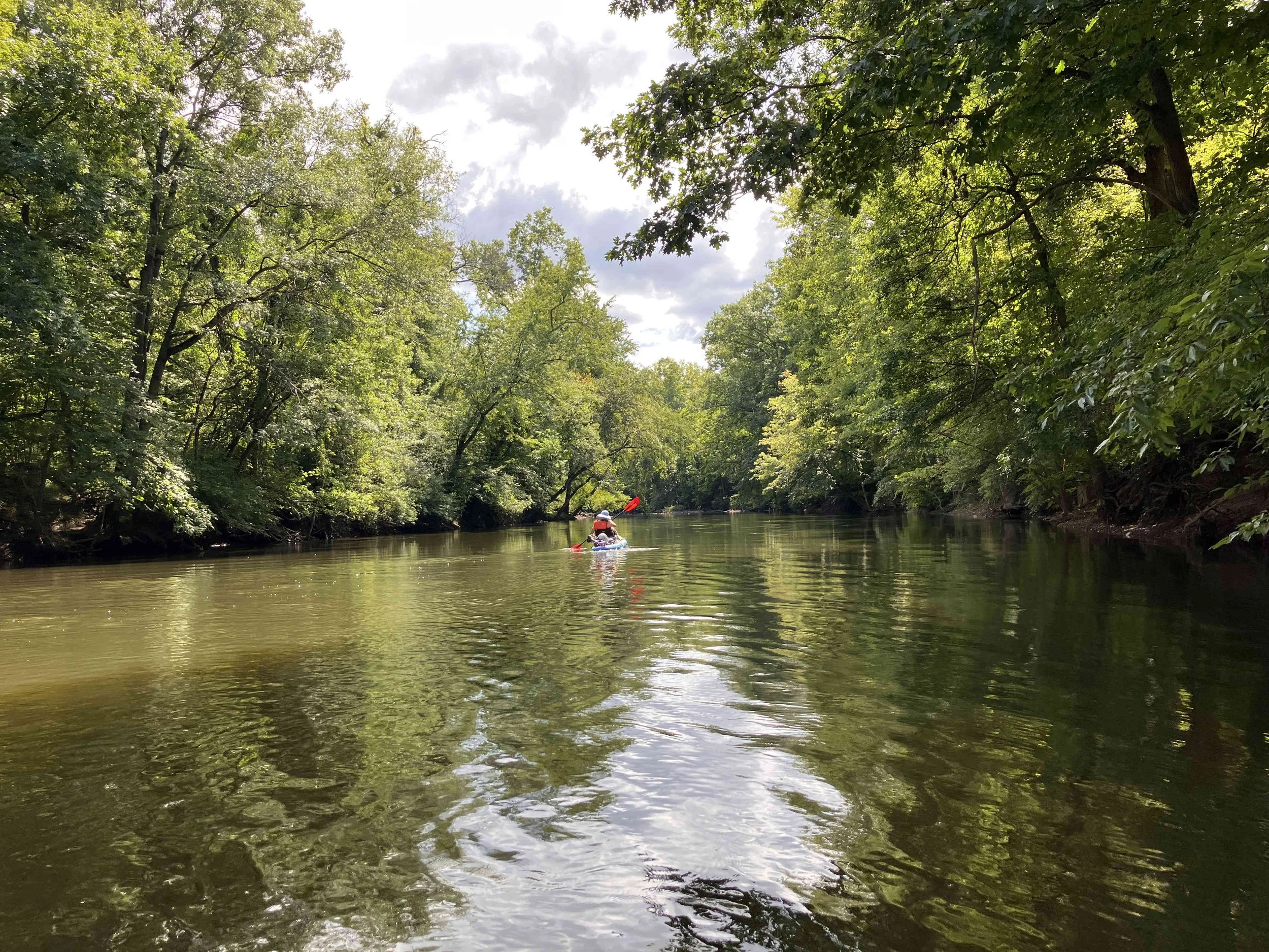
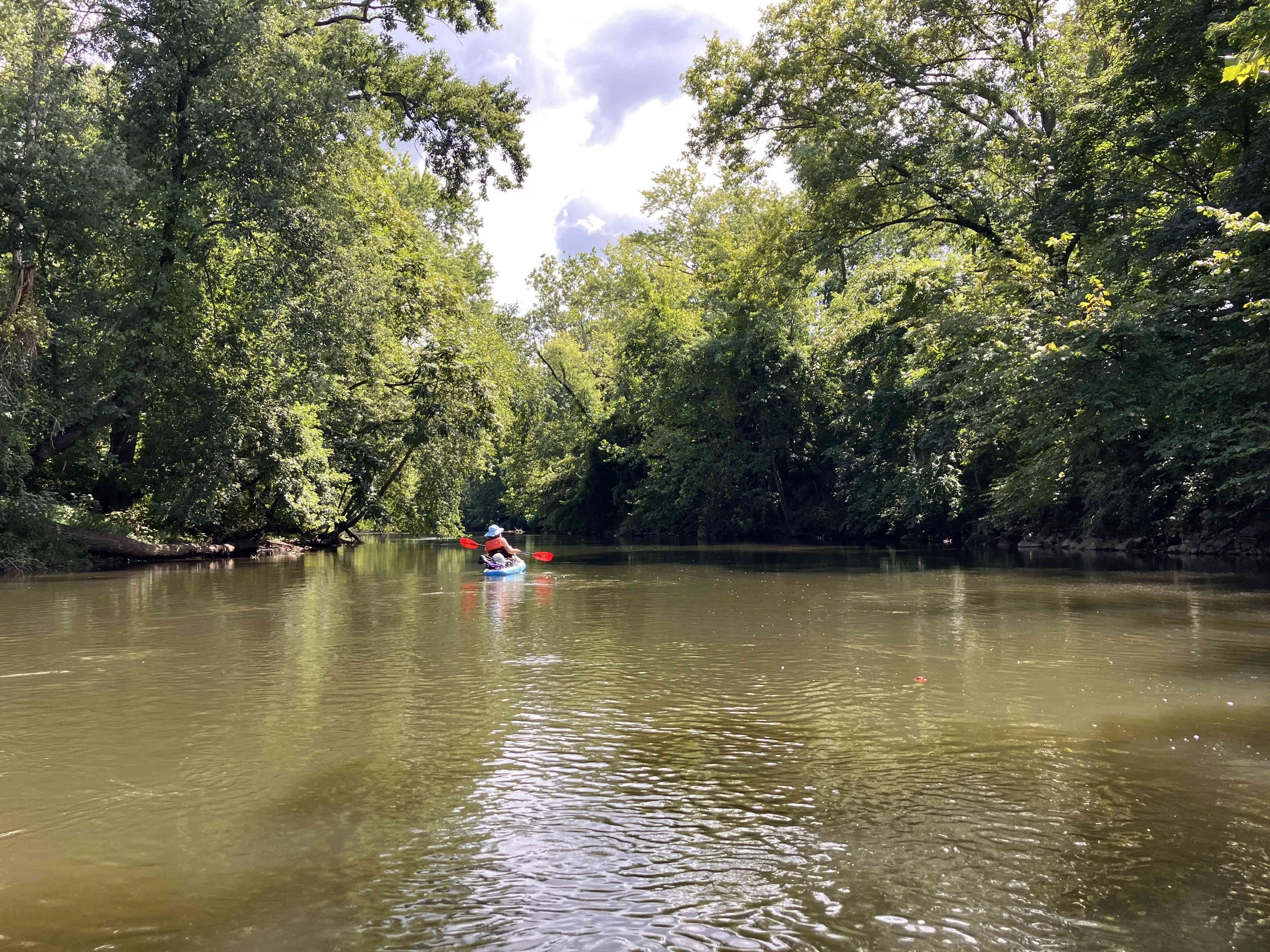
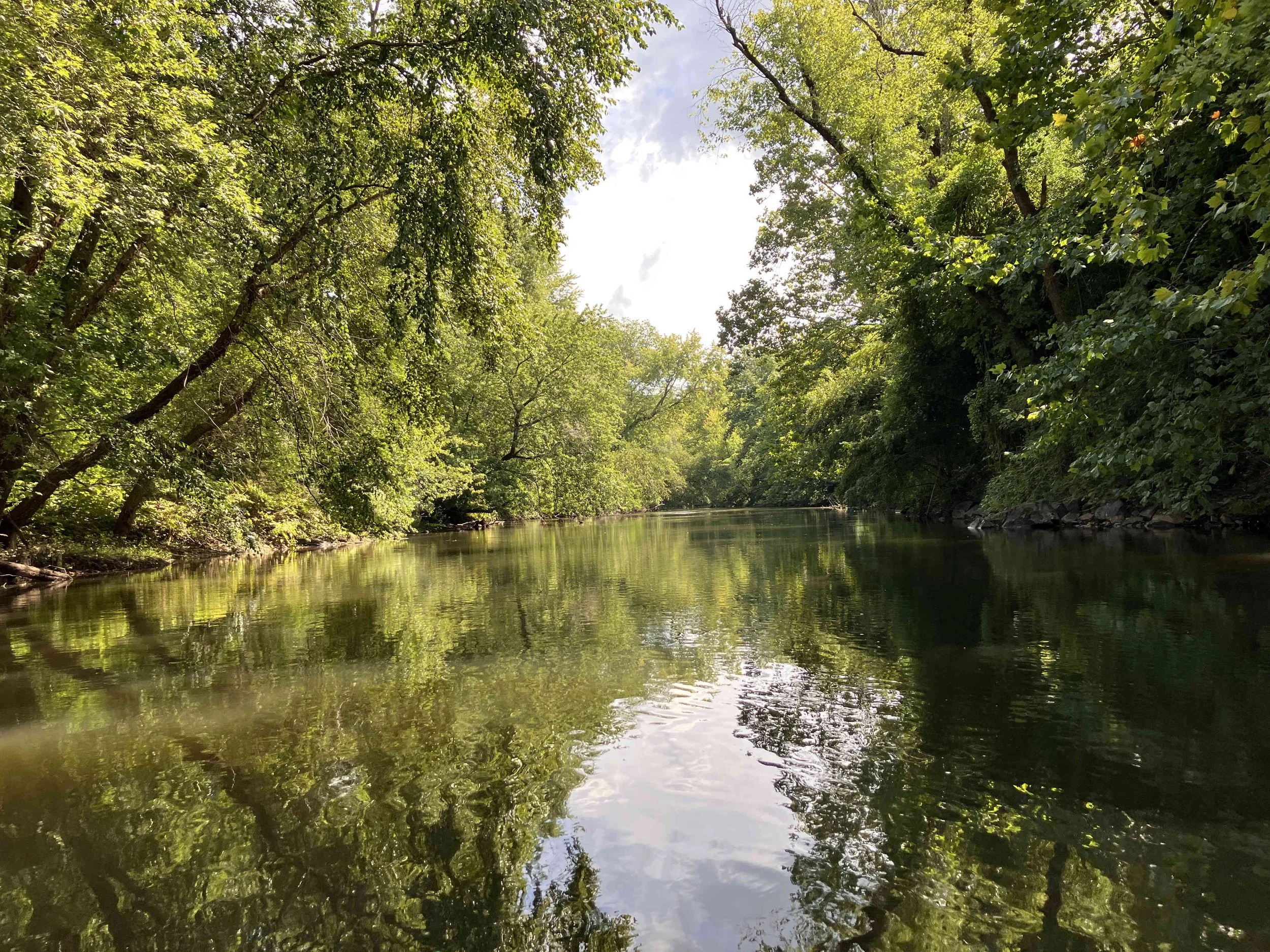
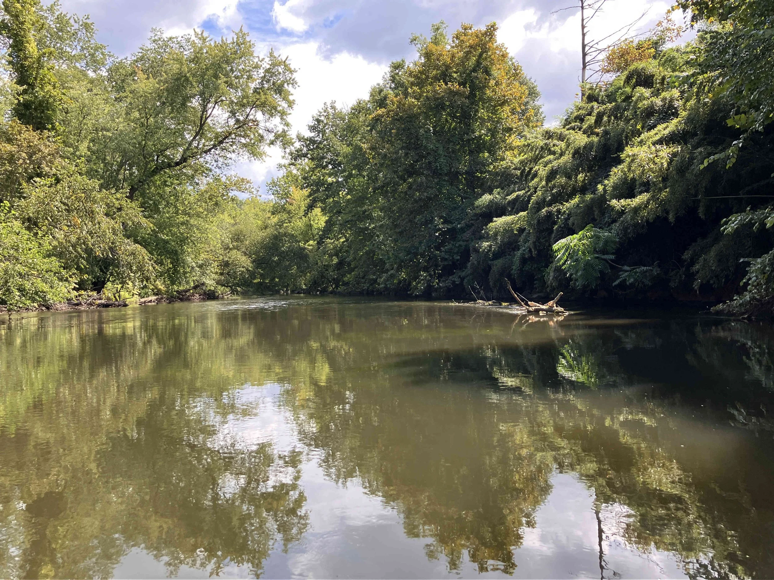
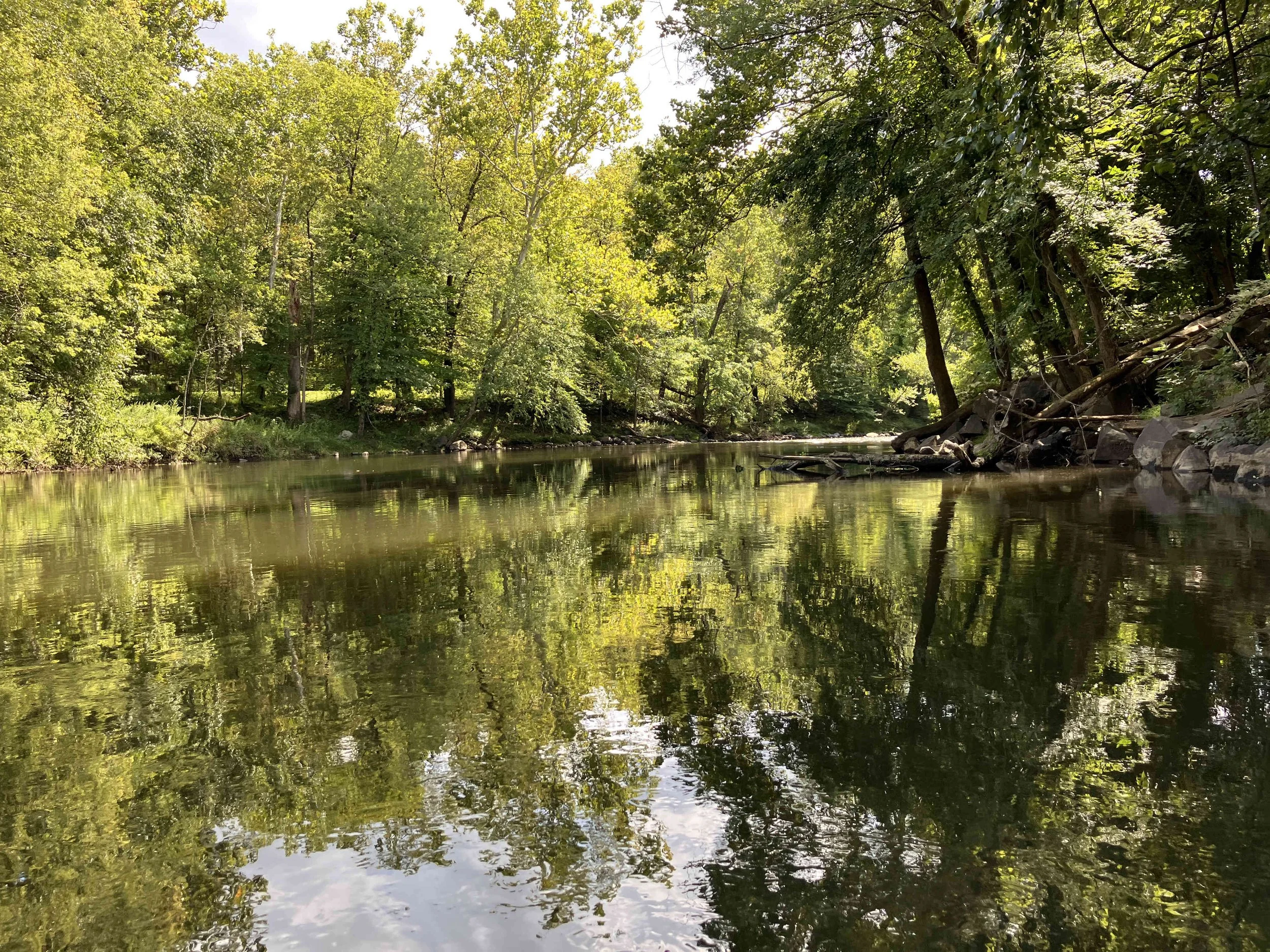
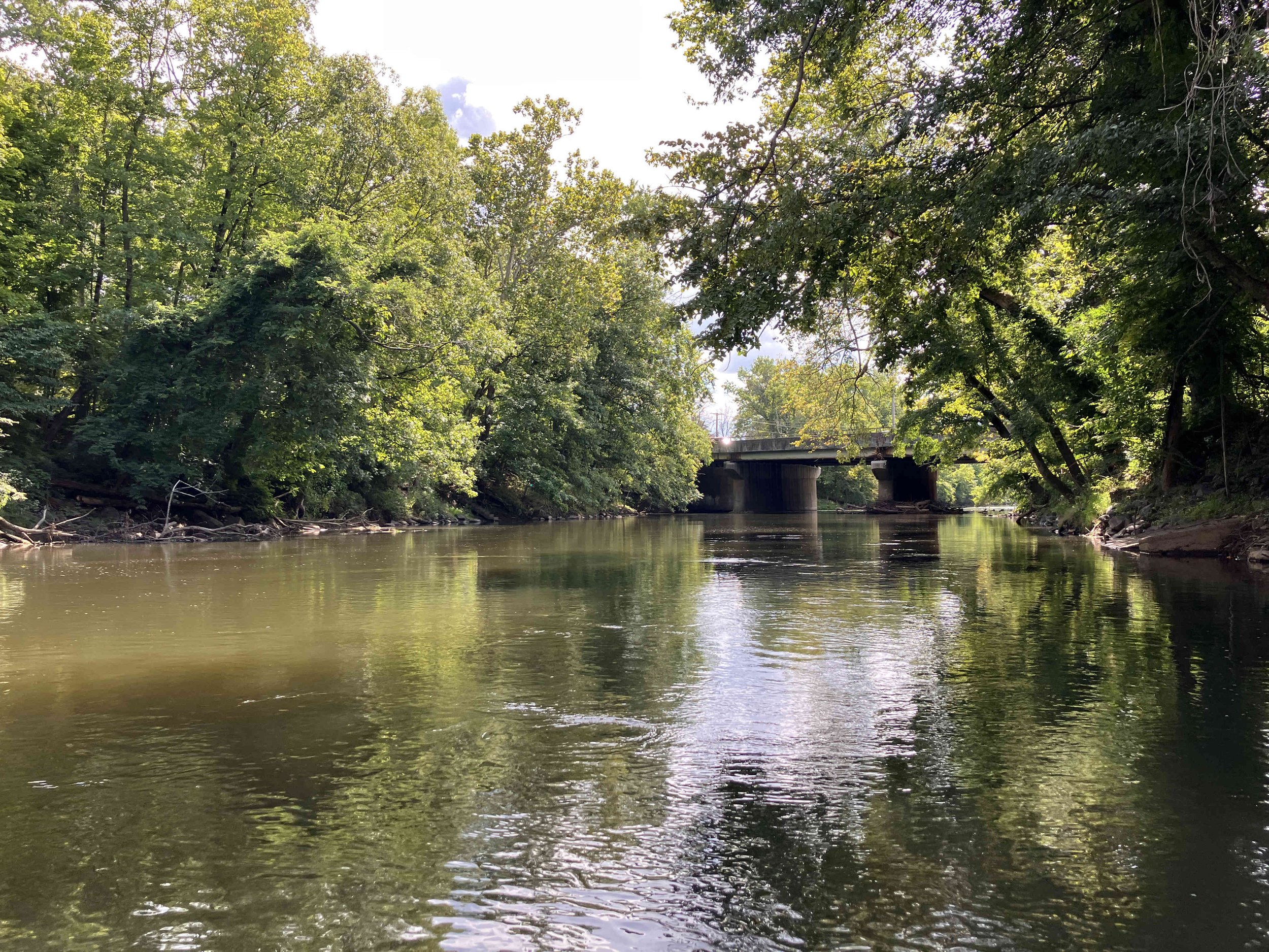
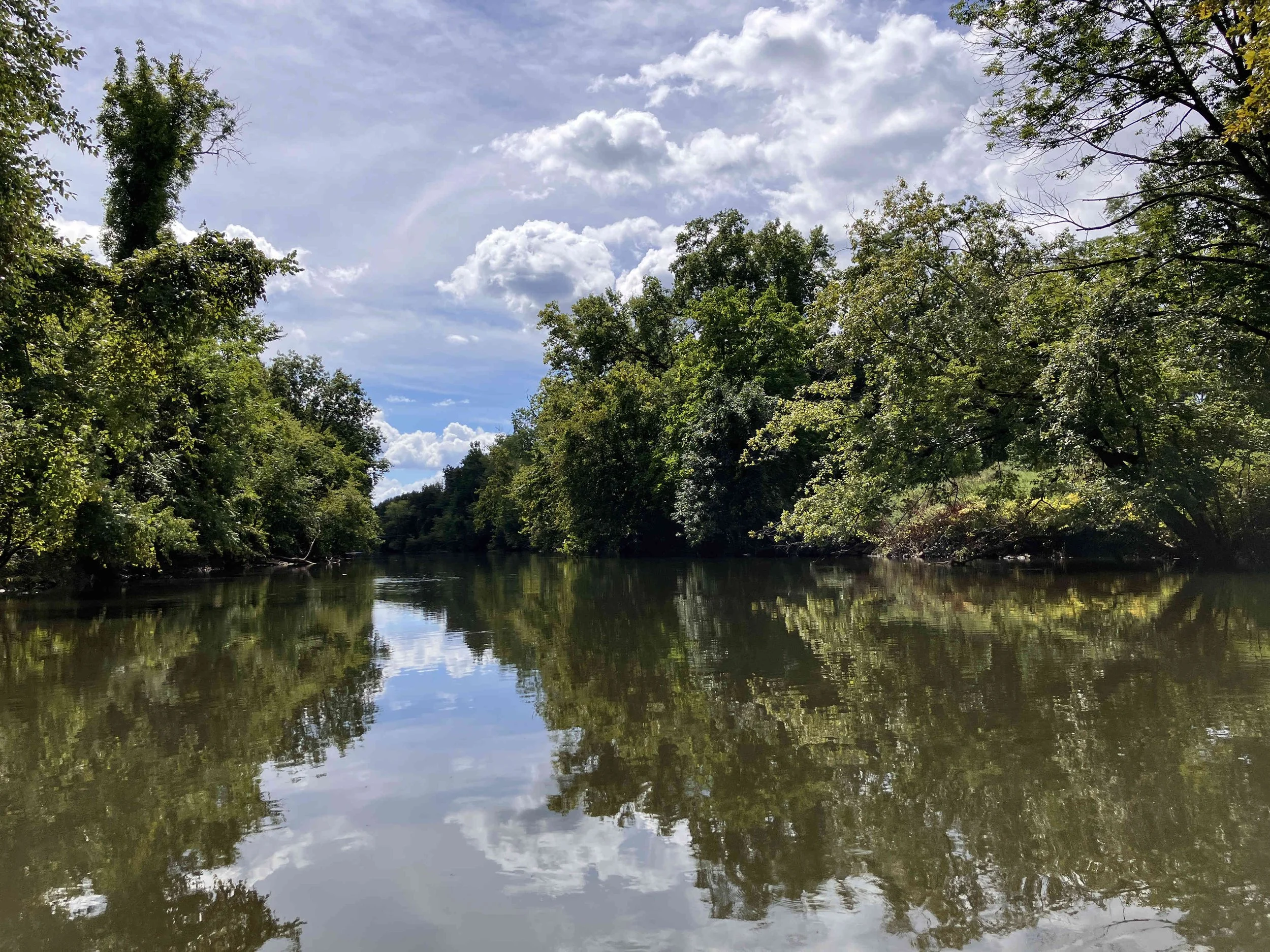
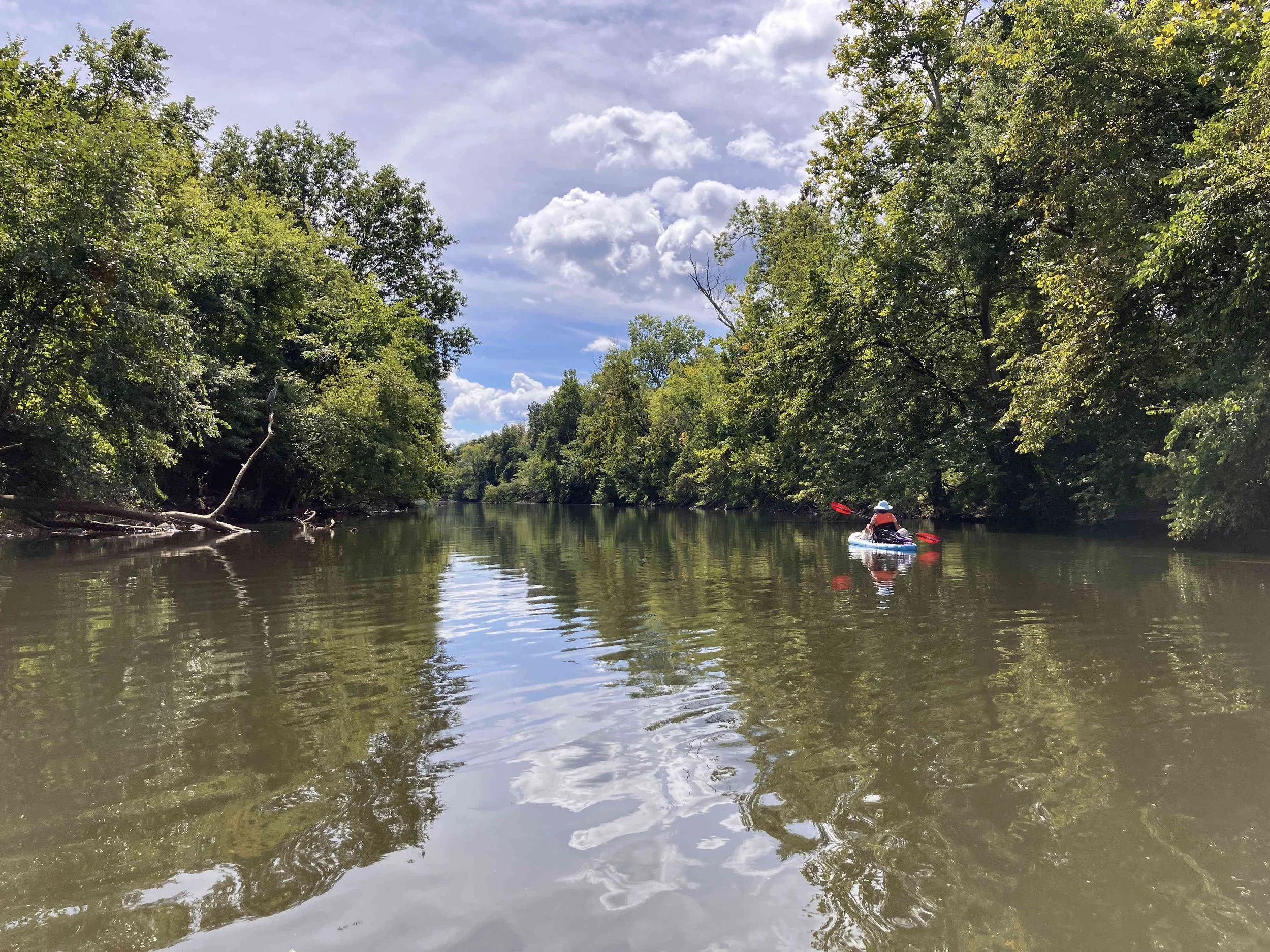
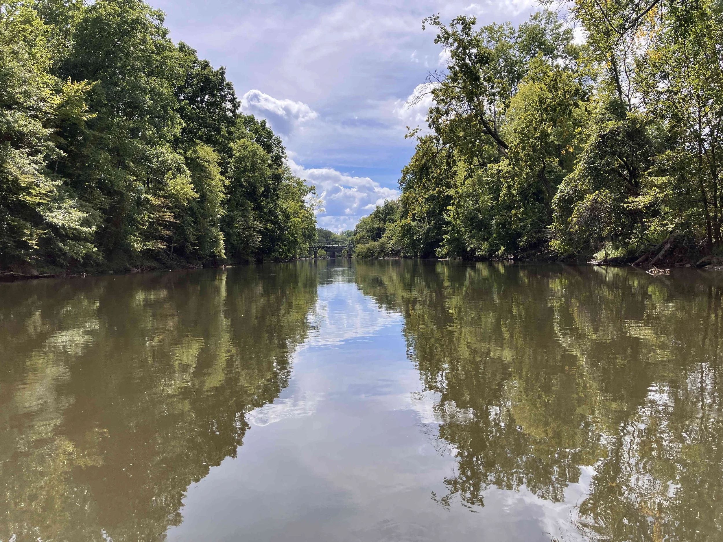
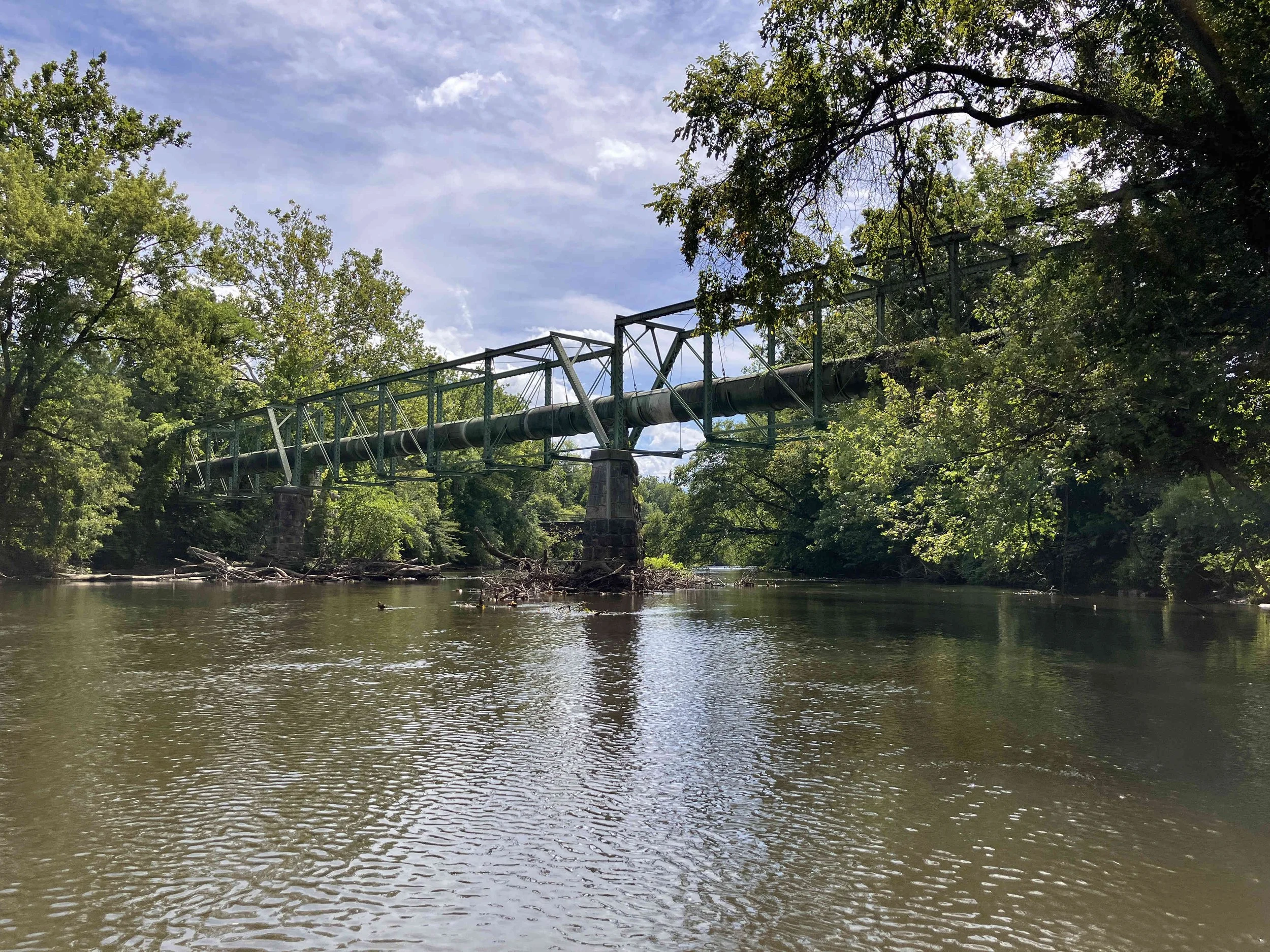
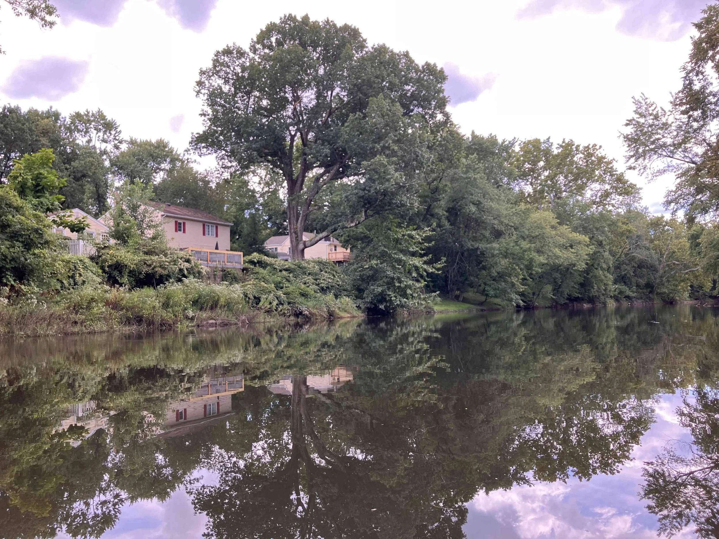
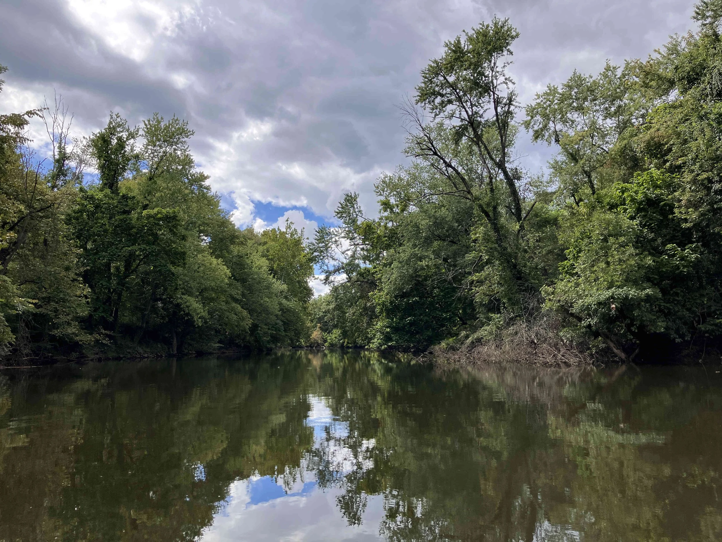
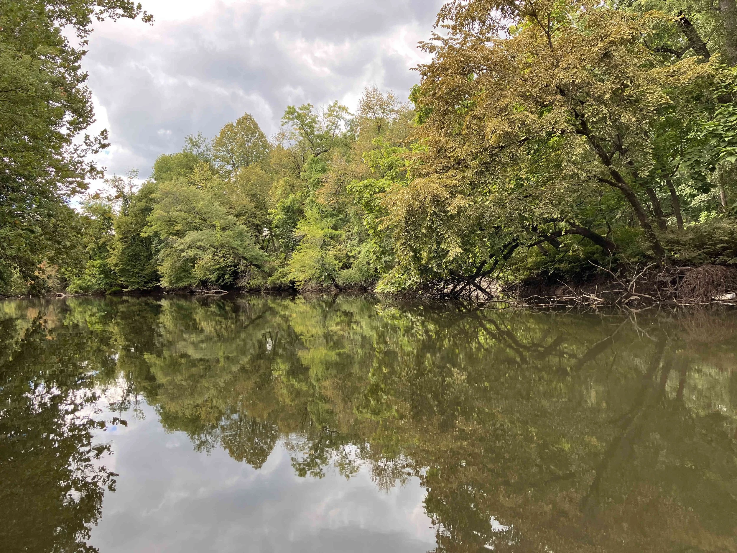
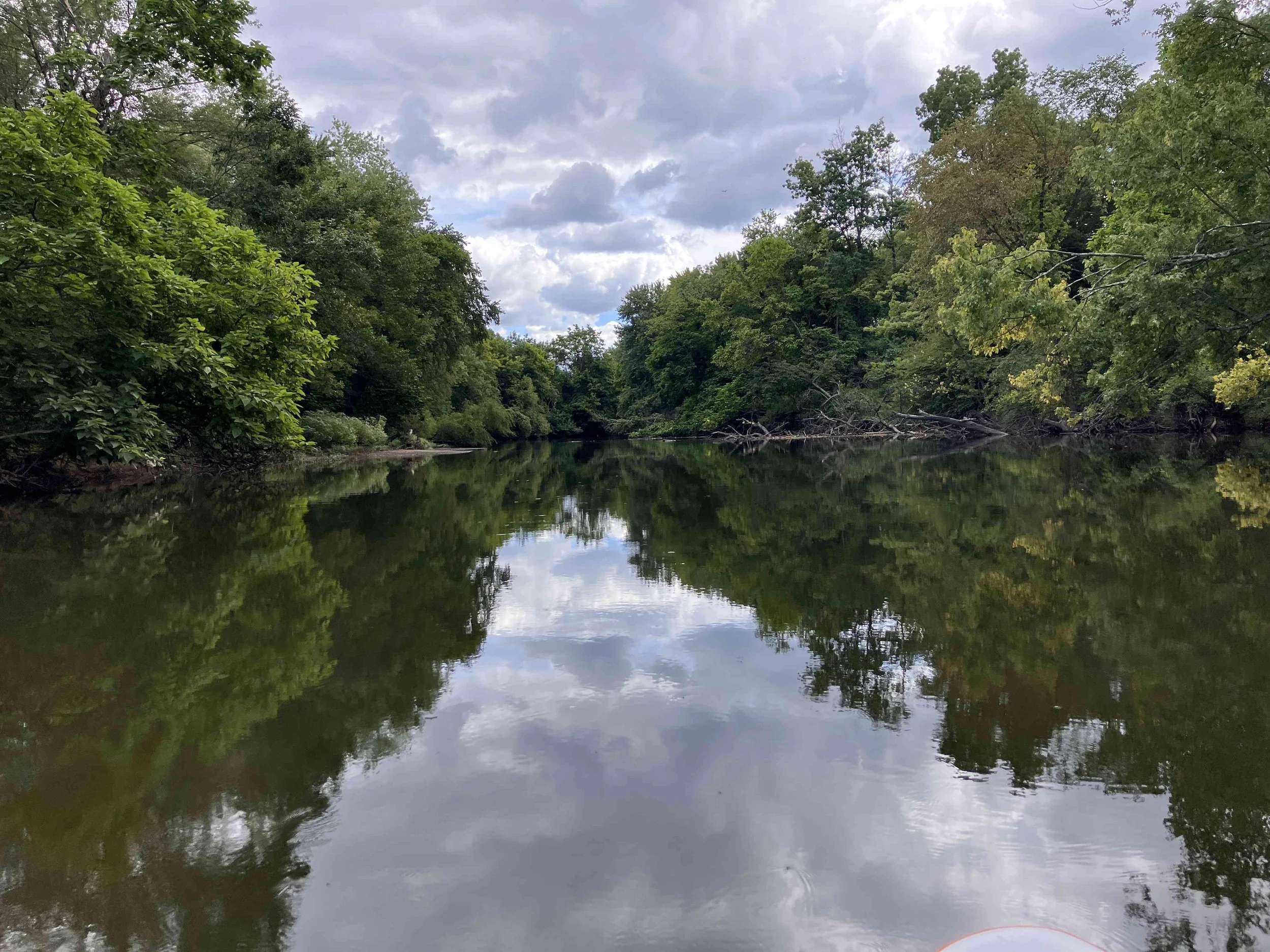
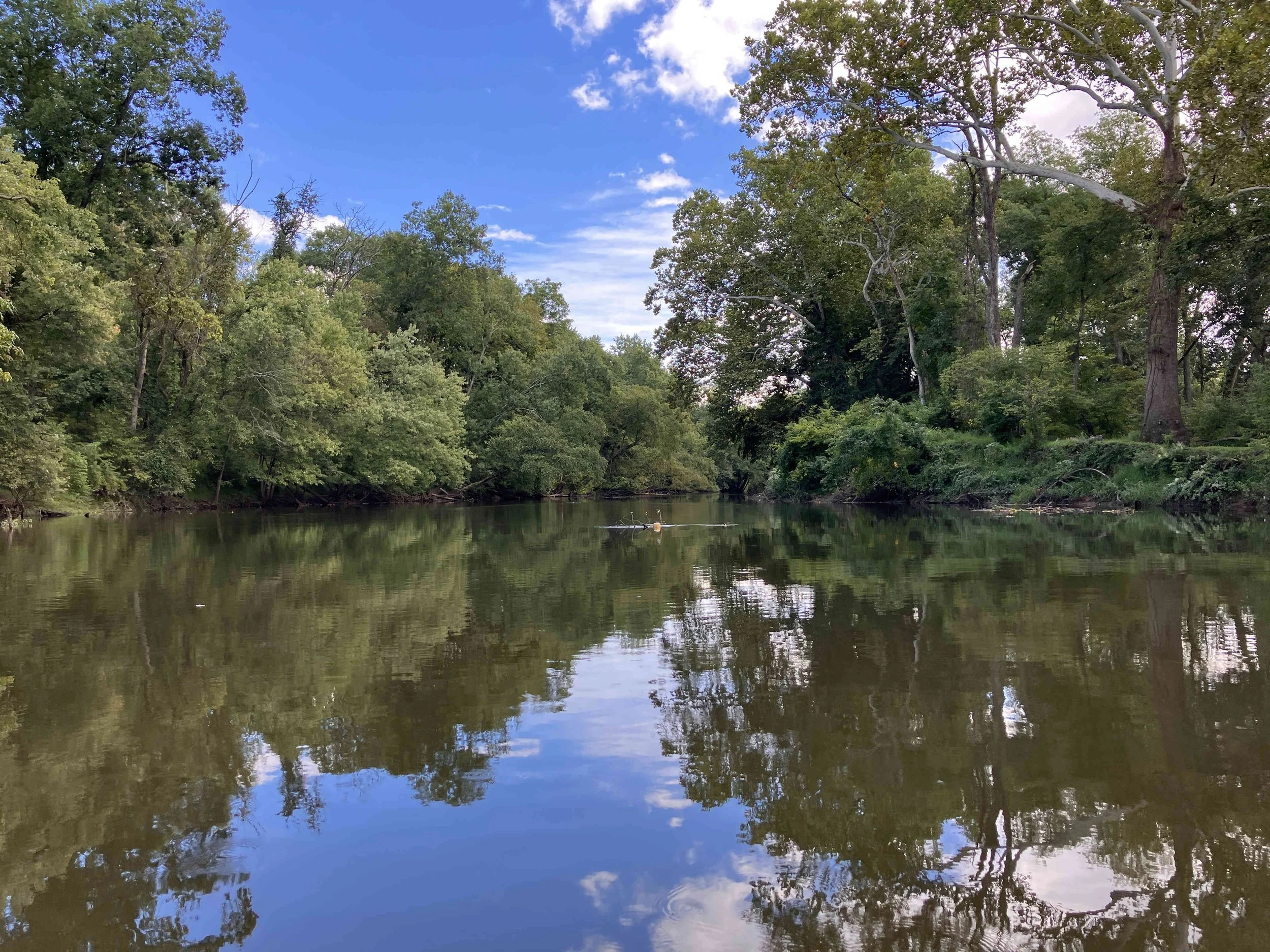
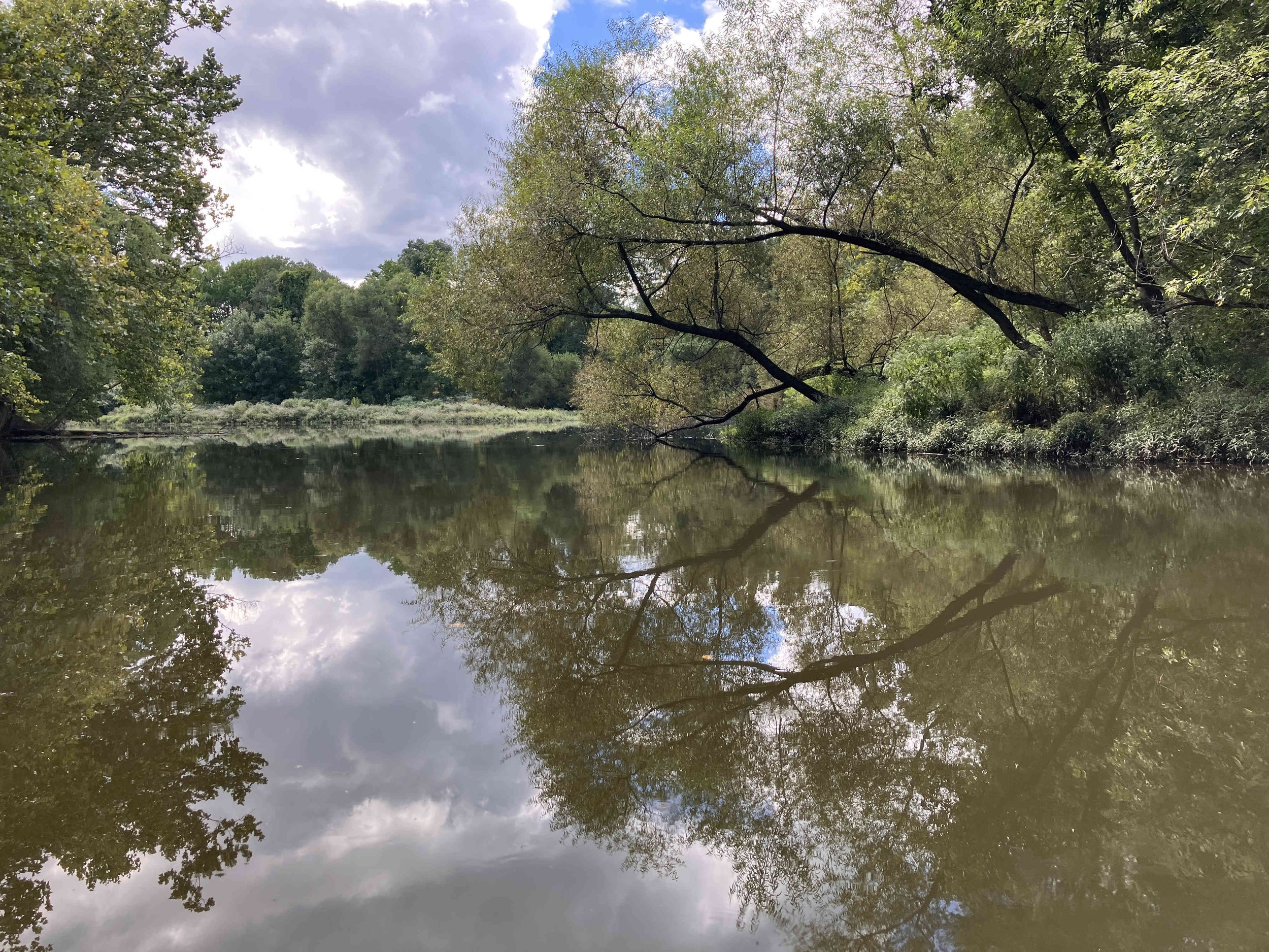
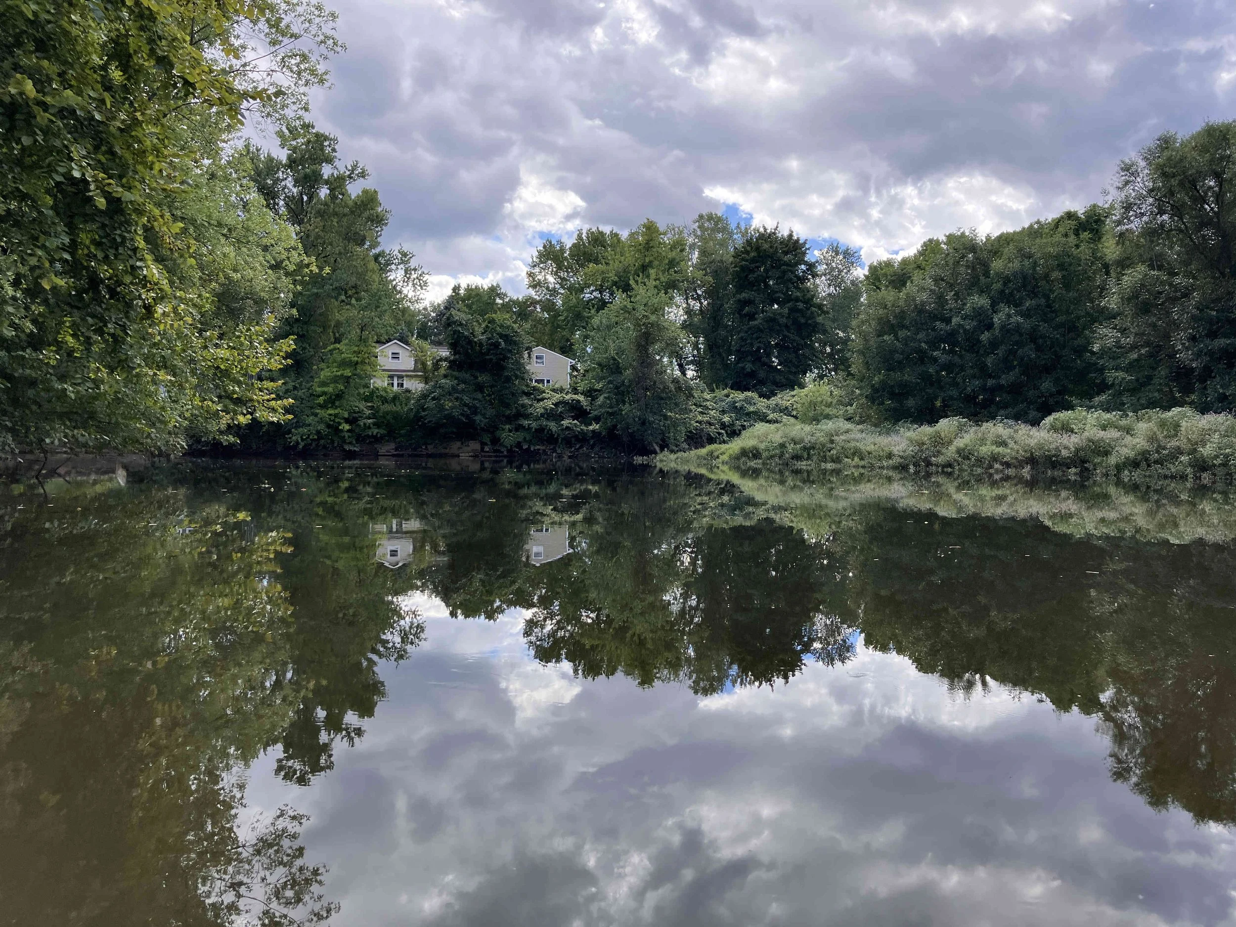
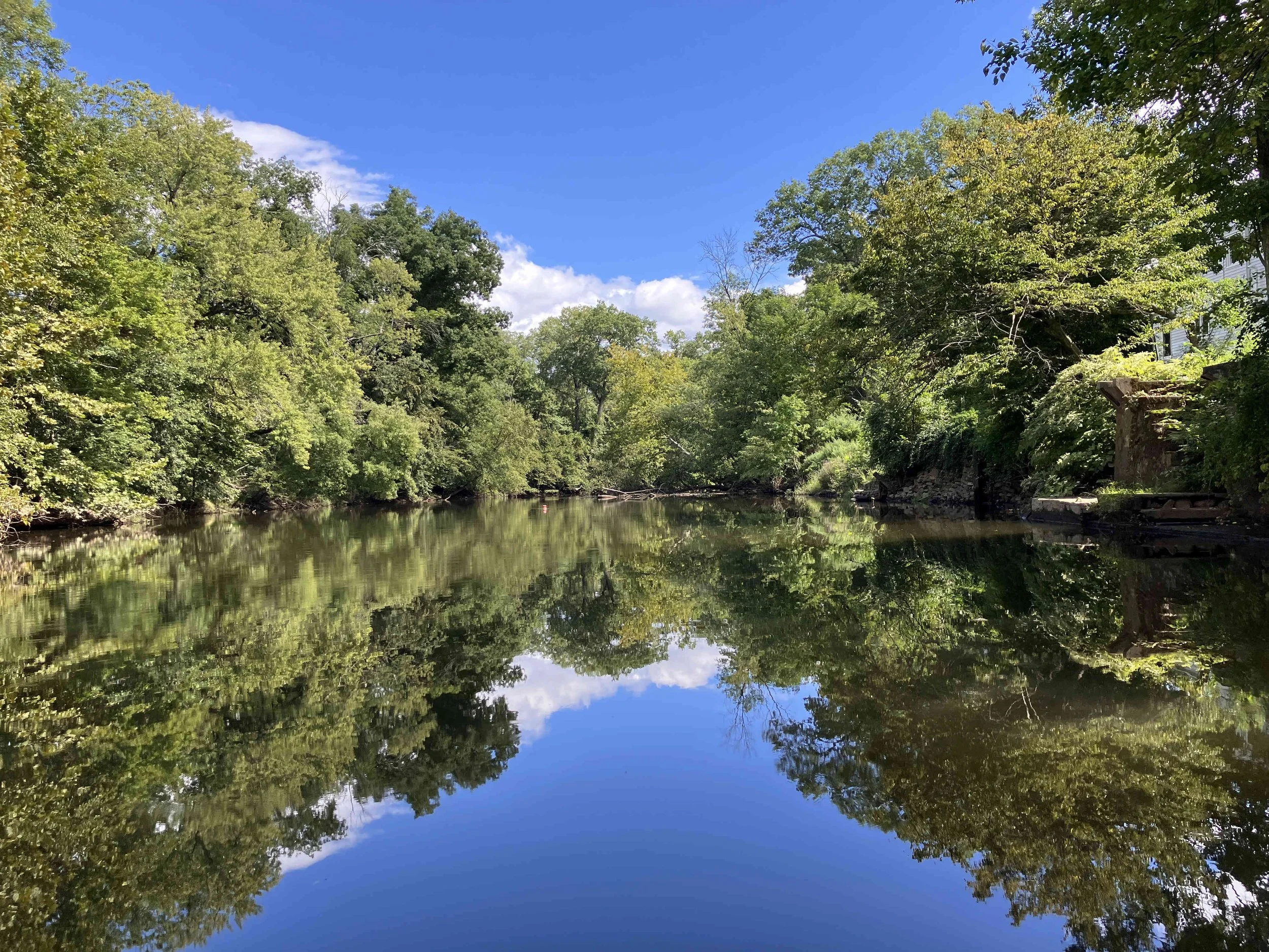
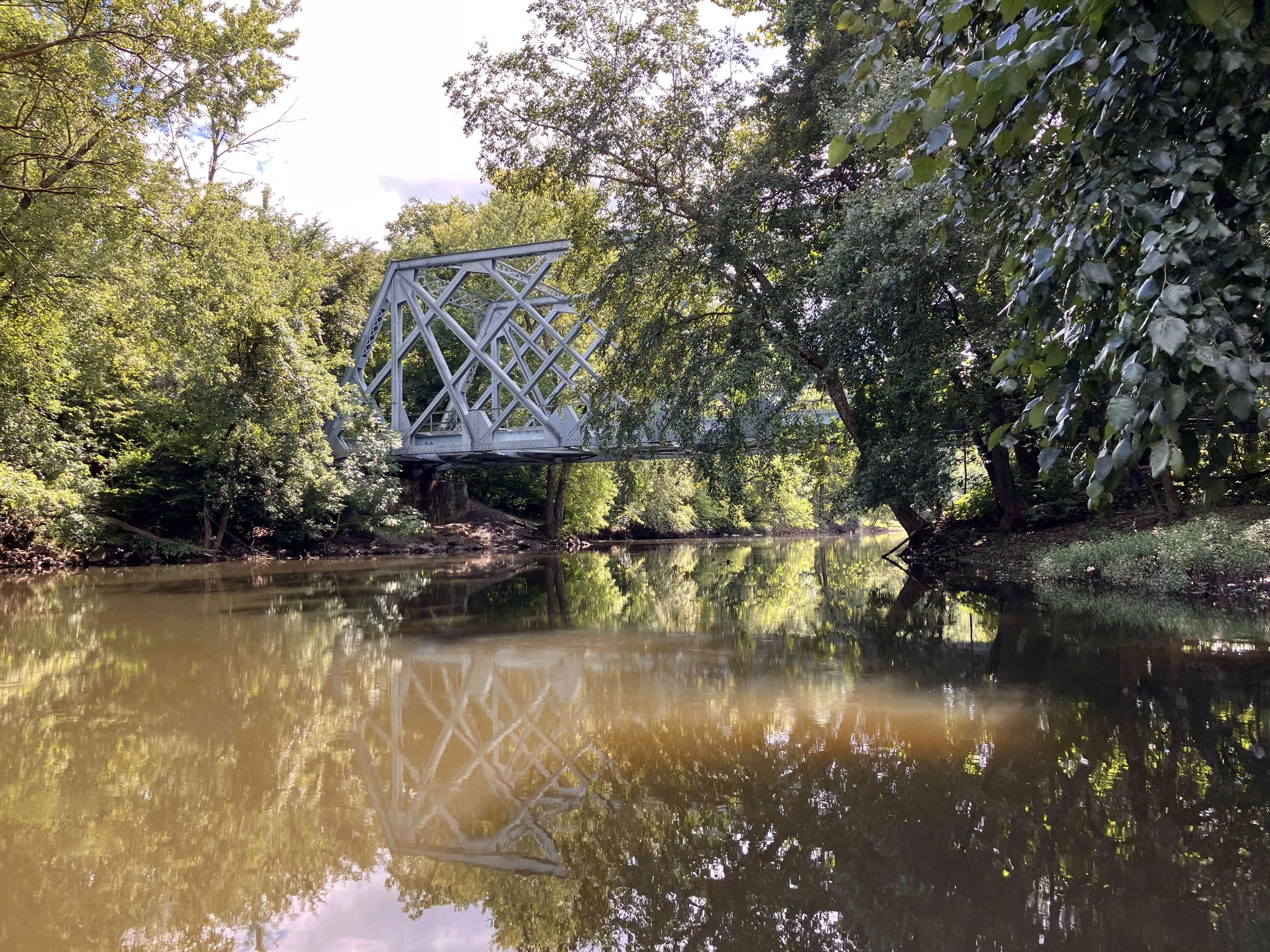
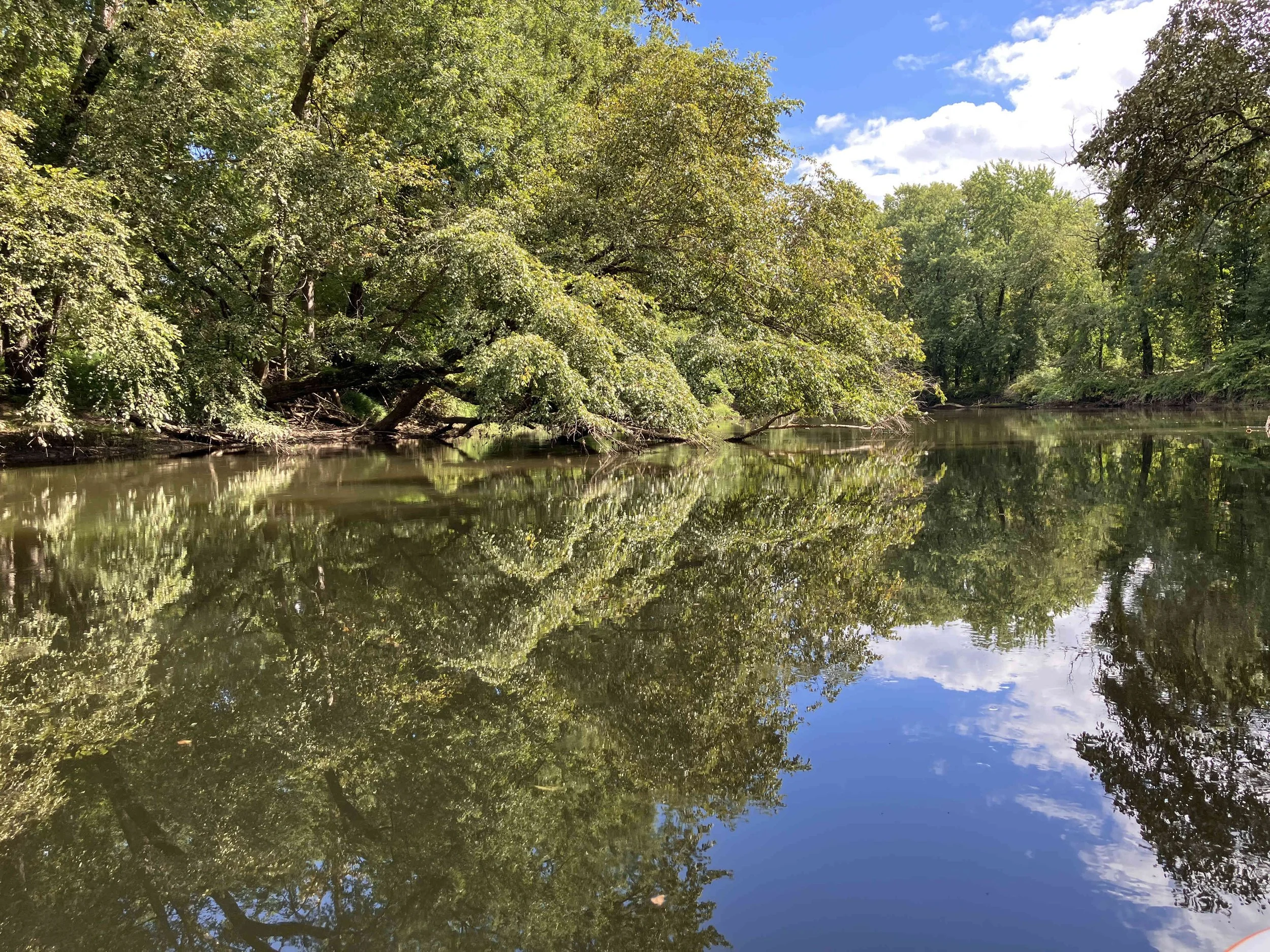
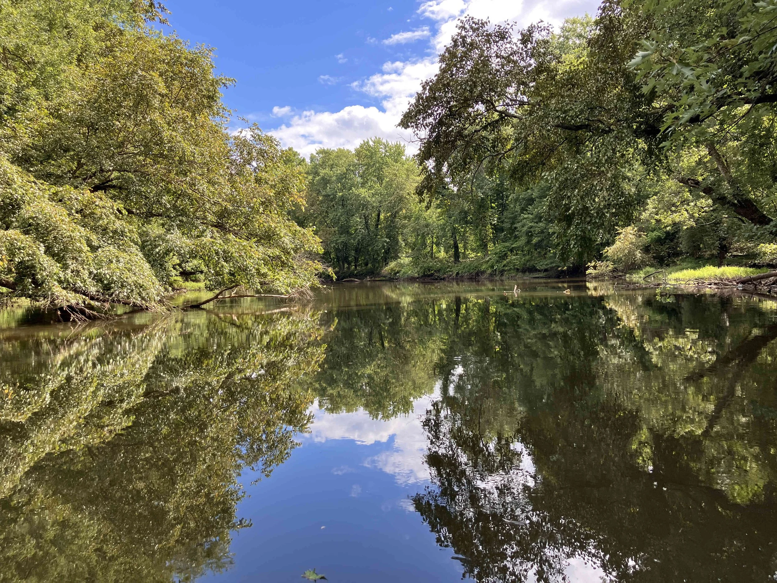
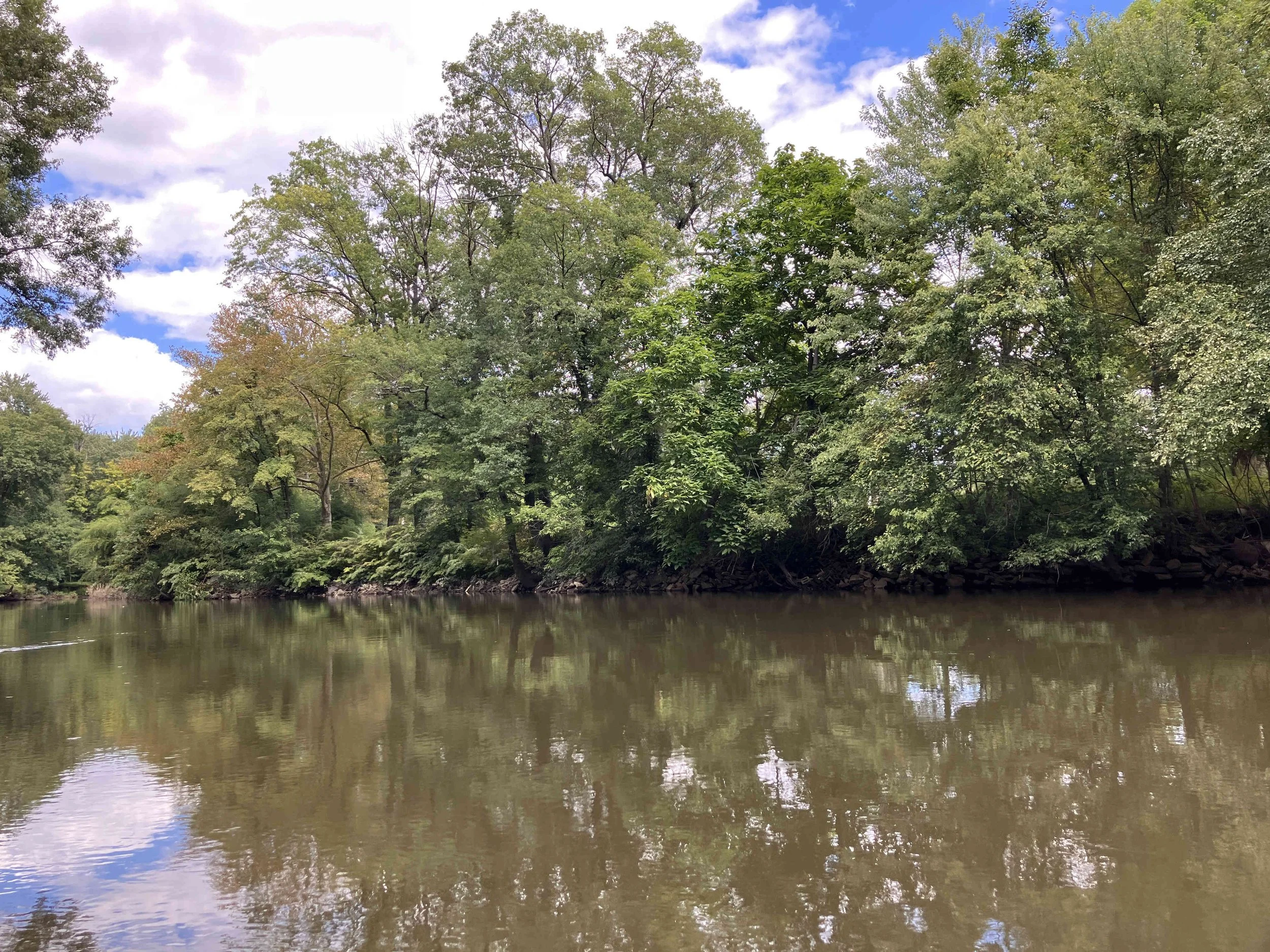
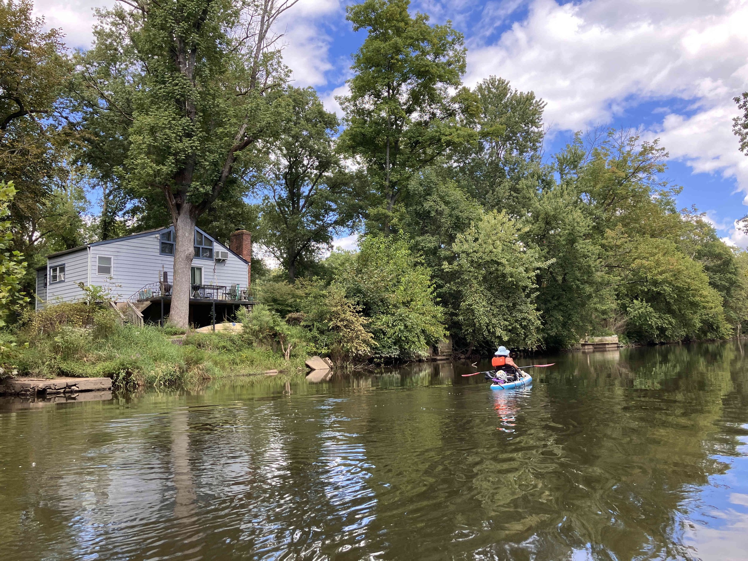
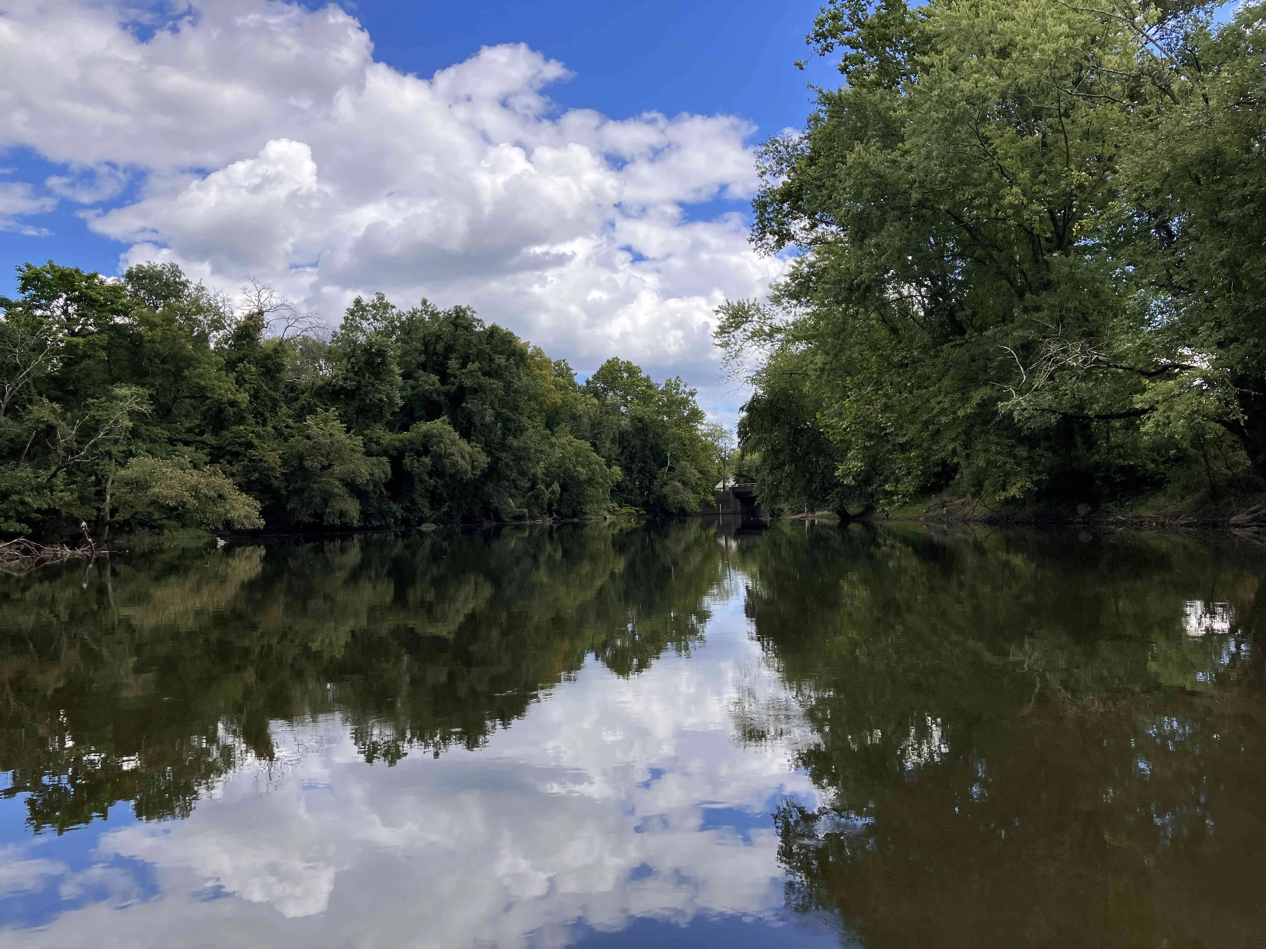
The Pompton River forms at the confluence of the Ramapo and Pequannock rivers. It winds its way south for eight miles until it joins the Passaic River at Fairfield. When paddling the river, there is some road noise, but the scenery is pretty. The river is wonderfully wild.
Pompton River #1: Rail Trail to Jackson Avenue
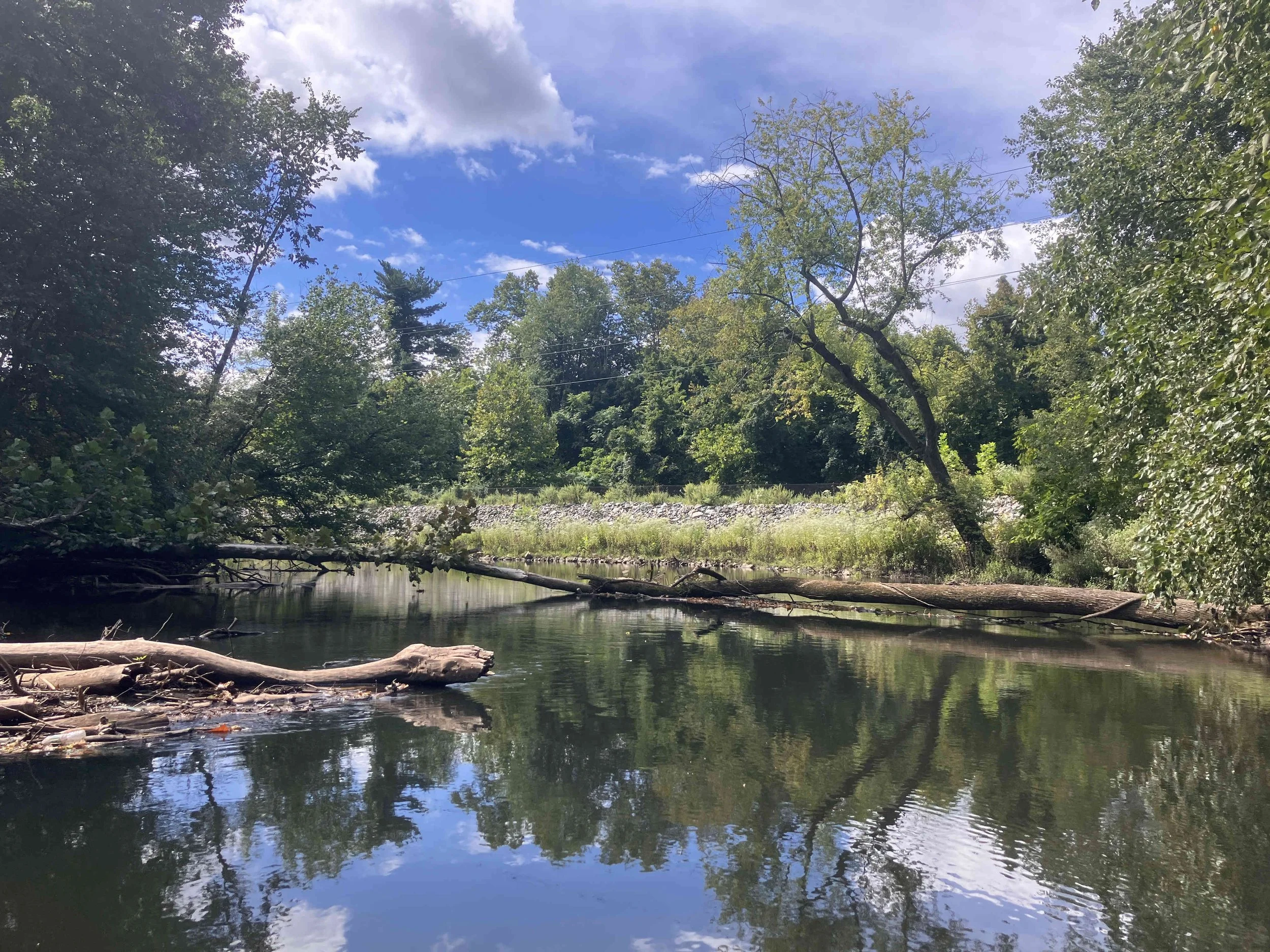
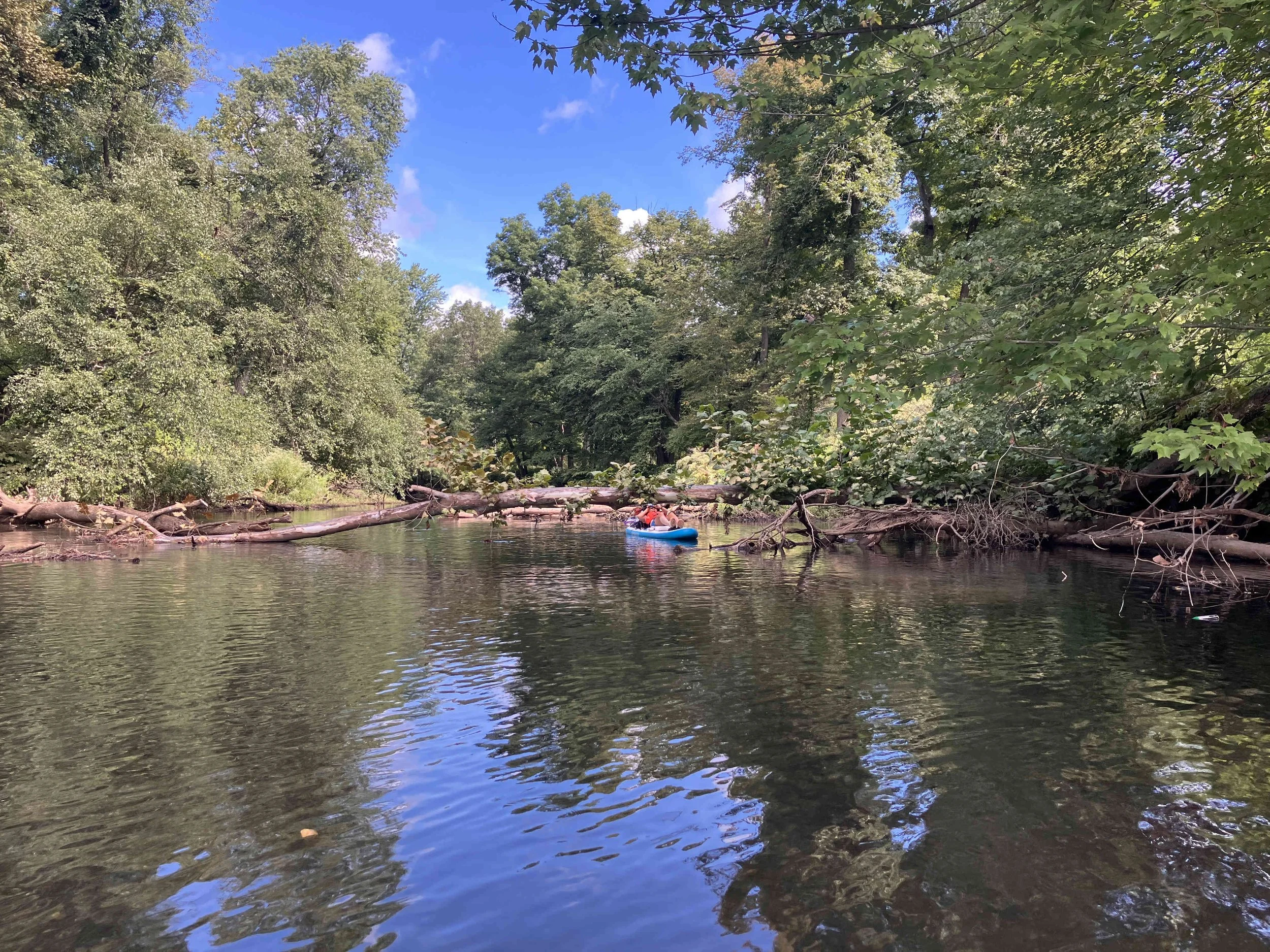
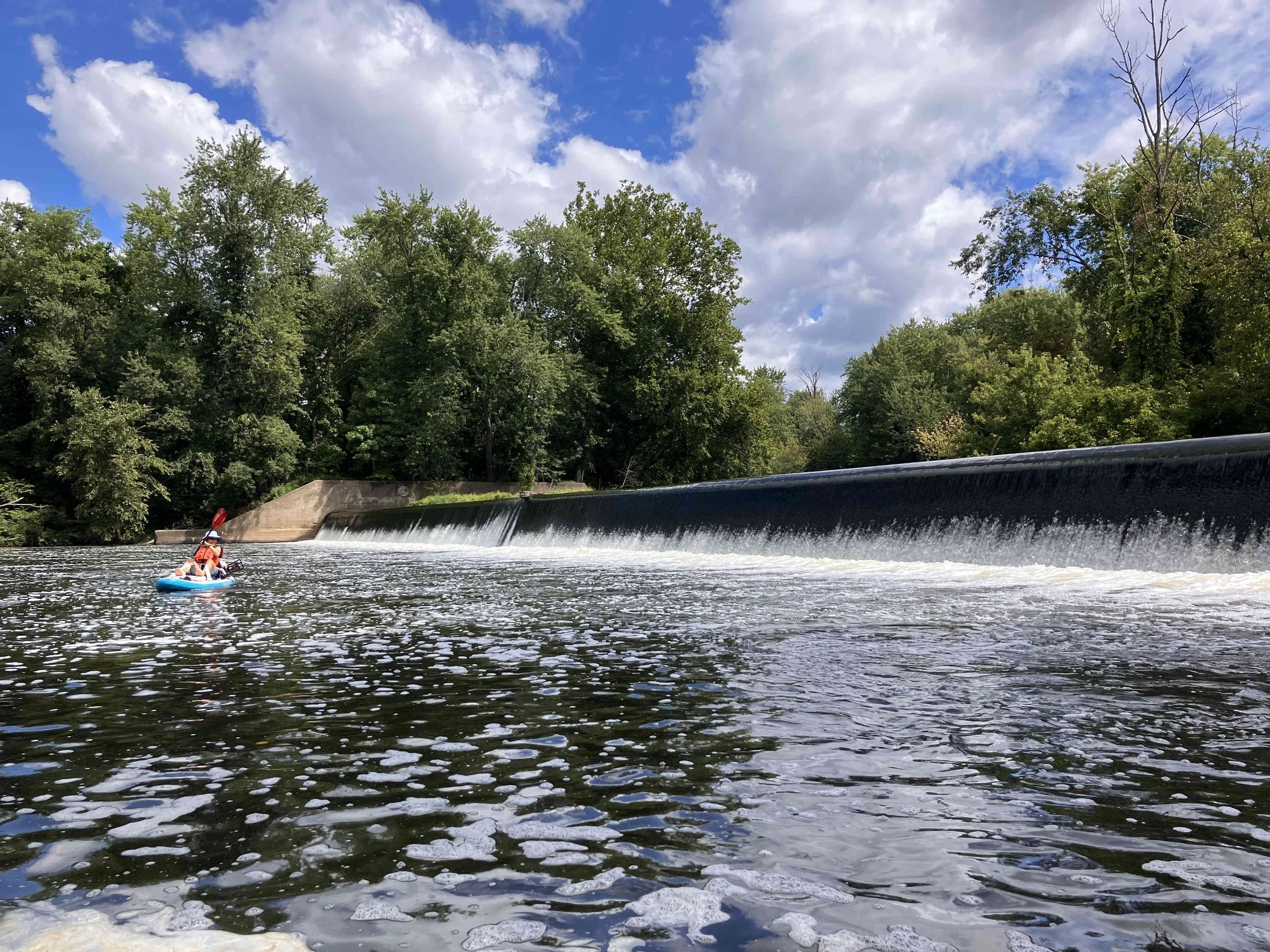
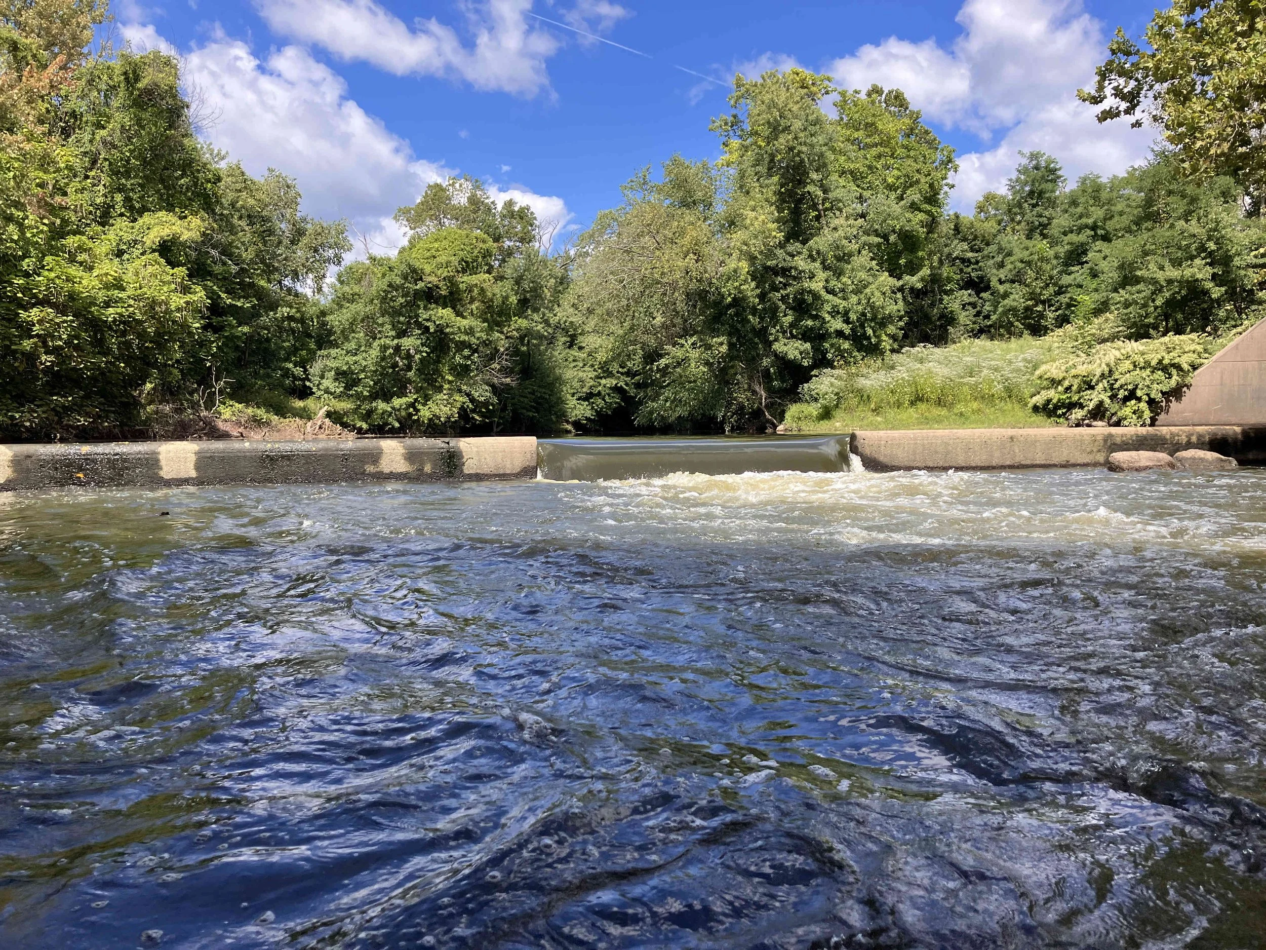
This section of the river starts at the put-in at the north end of the Pompton Valley Rail Trail. At first, the river runs cold and clear. Two small lakes follow. There are two short portages around dams. There was one tree obstructing. We were able to scoot under.
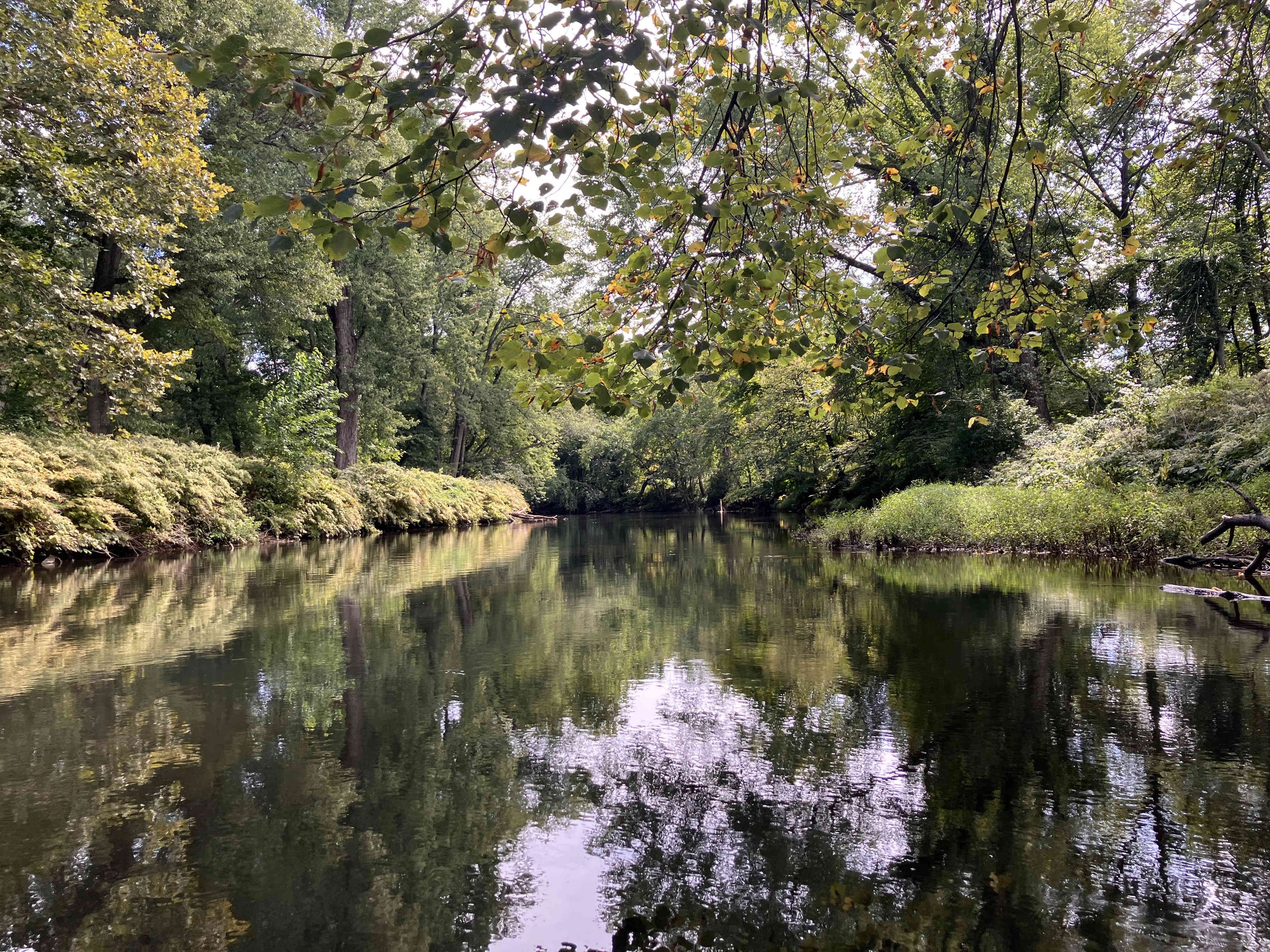
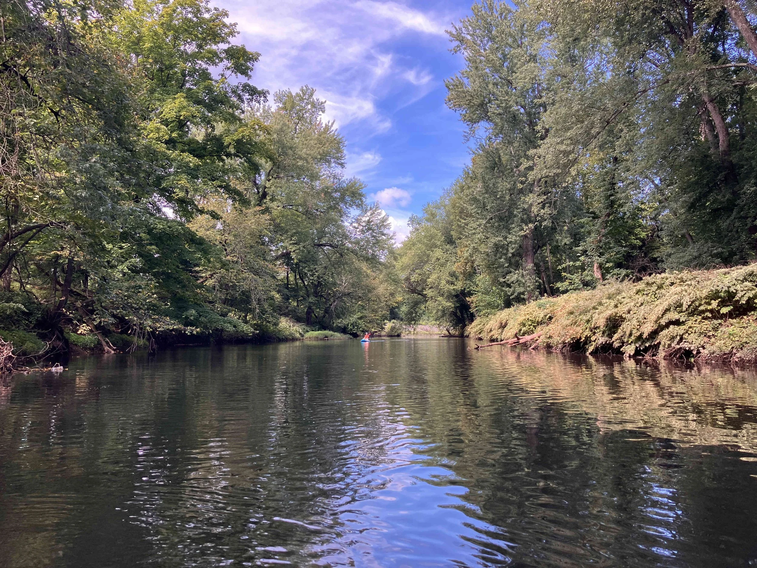
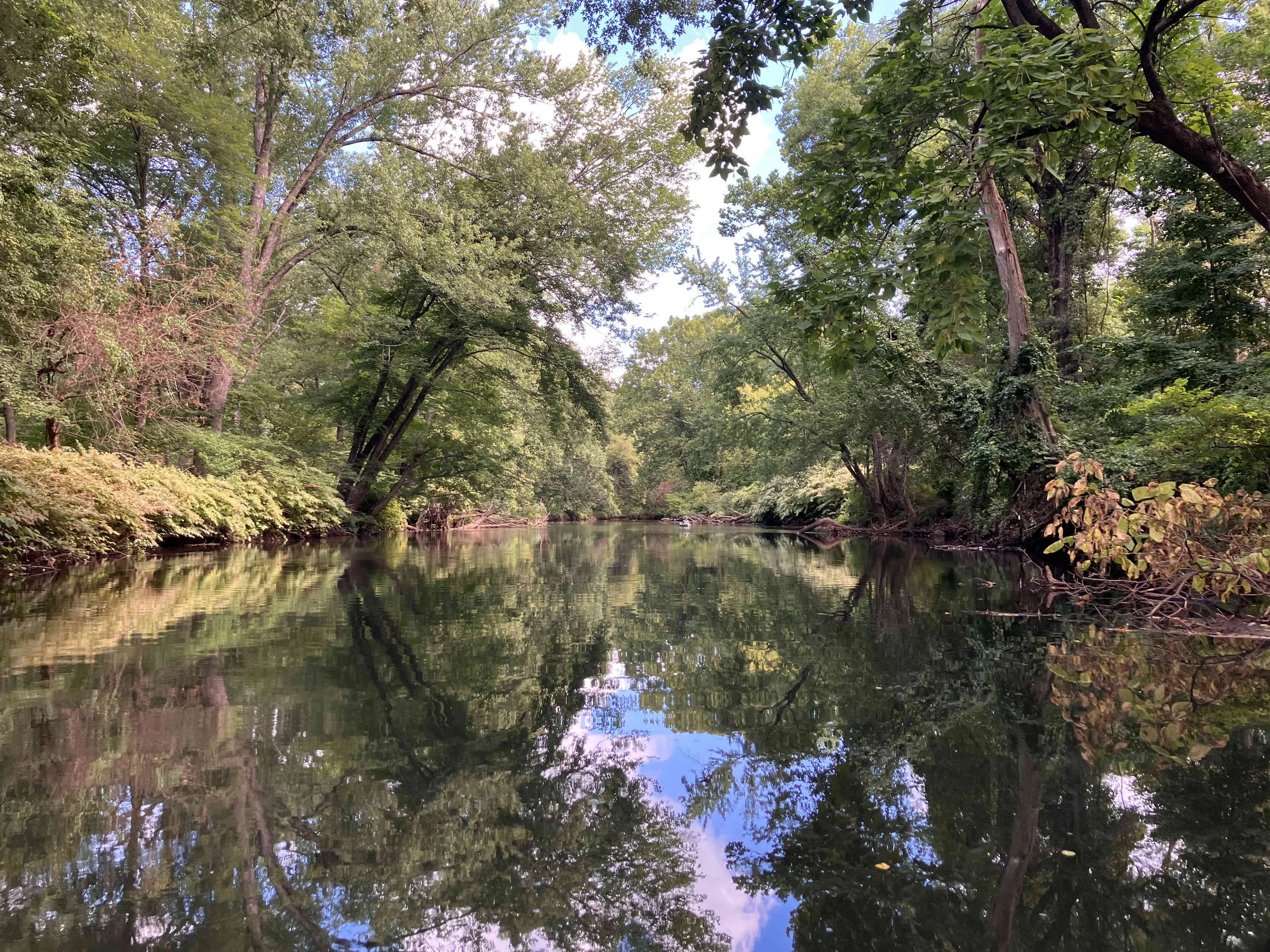
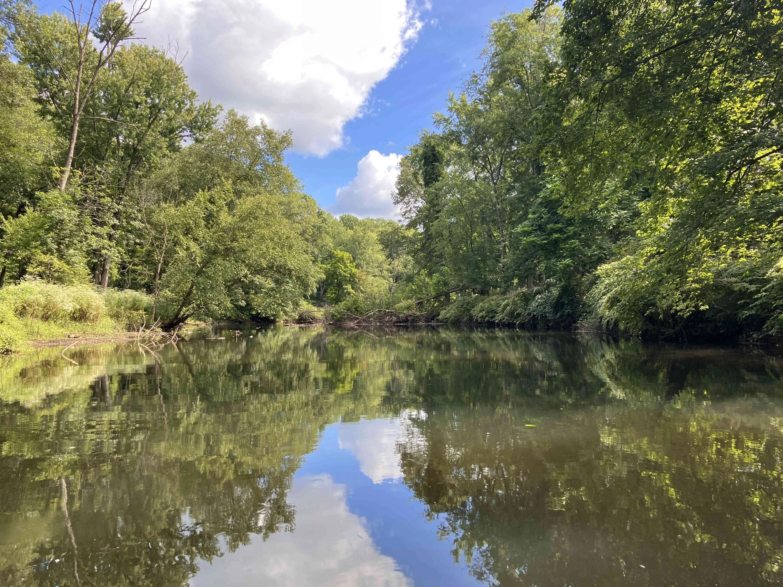
Pompton River #2: Jackson Avenue to Lincoln Park Boat Launch
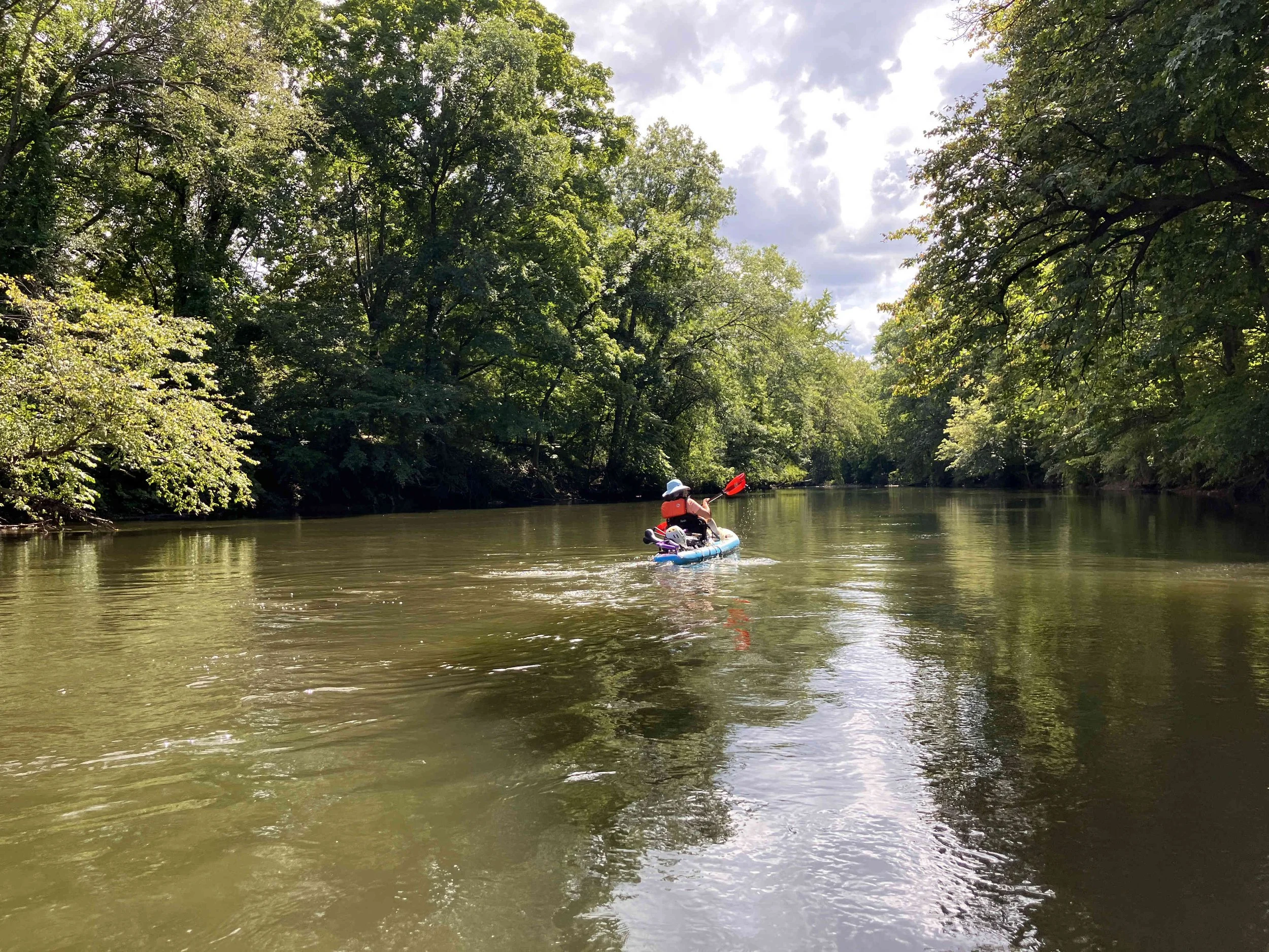
This section of the river is muddier, and wider. The upper section is shallow and sometimes swift, with the occasional rapids. The lower section is deeper and slower. There were no dams.
Avoiding the Shuttle
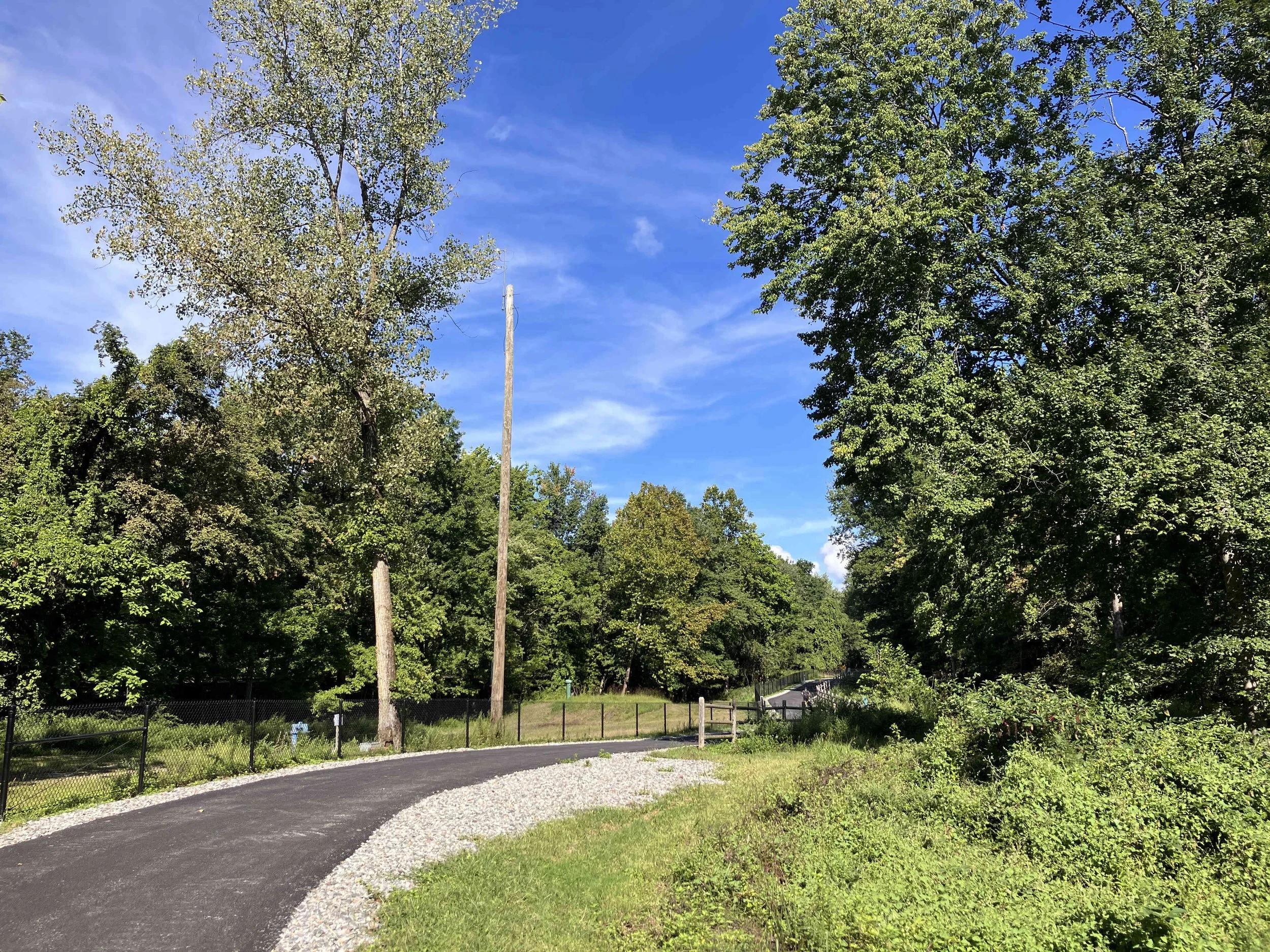
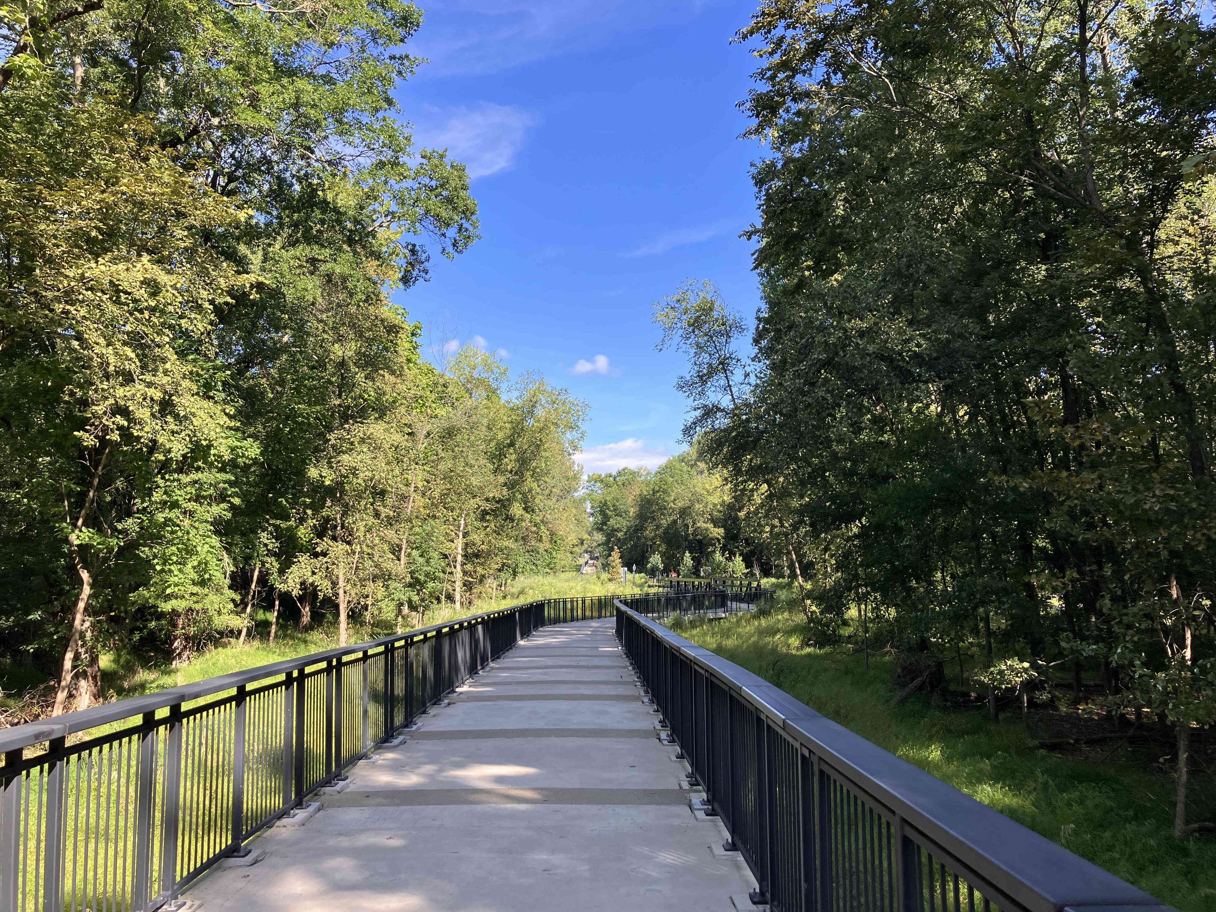
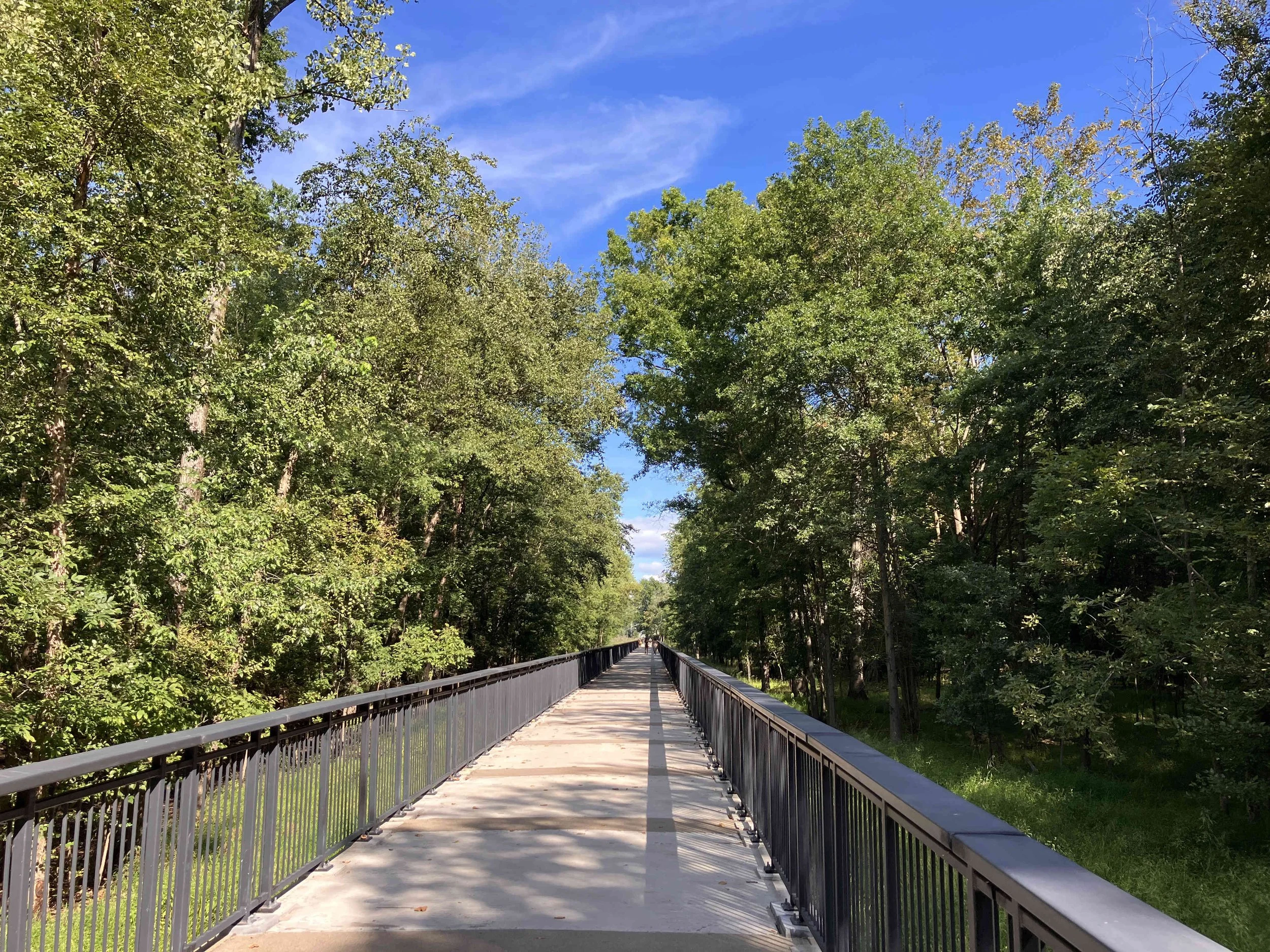
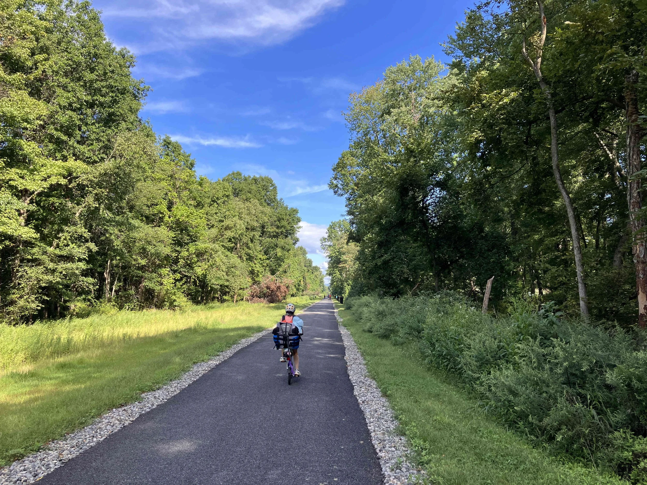
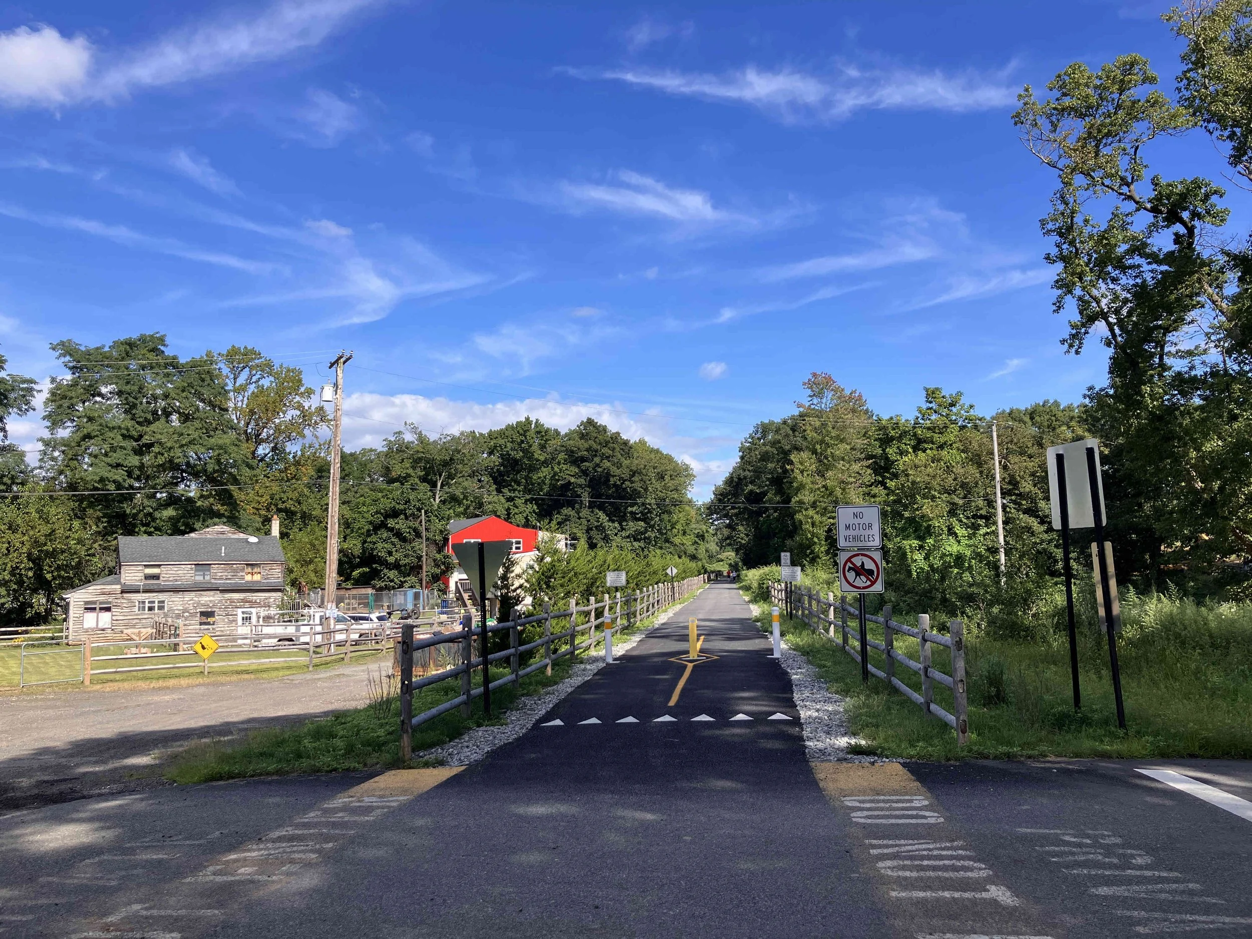
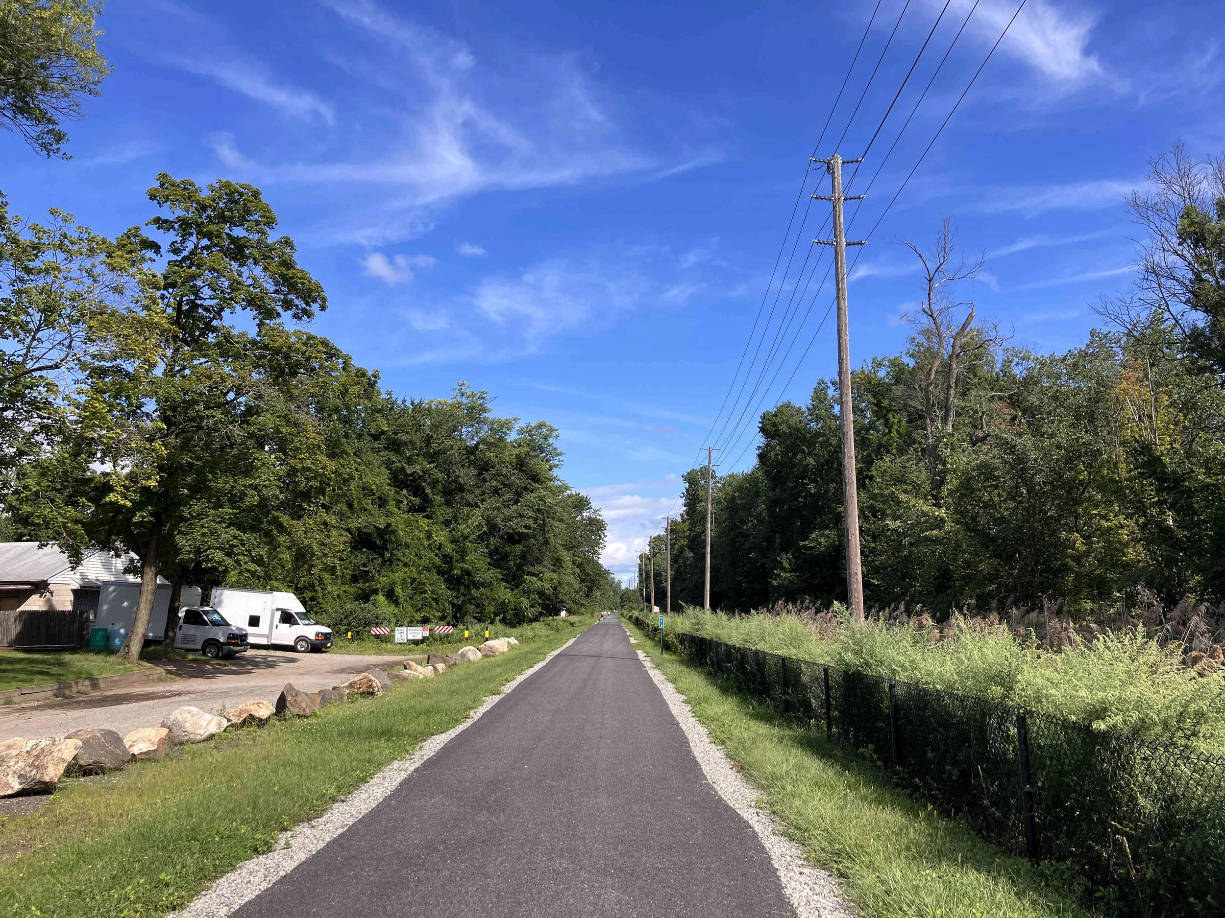
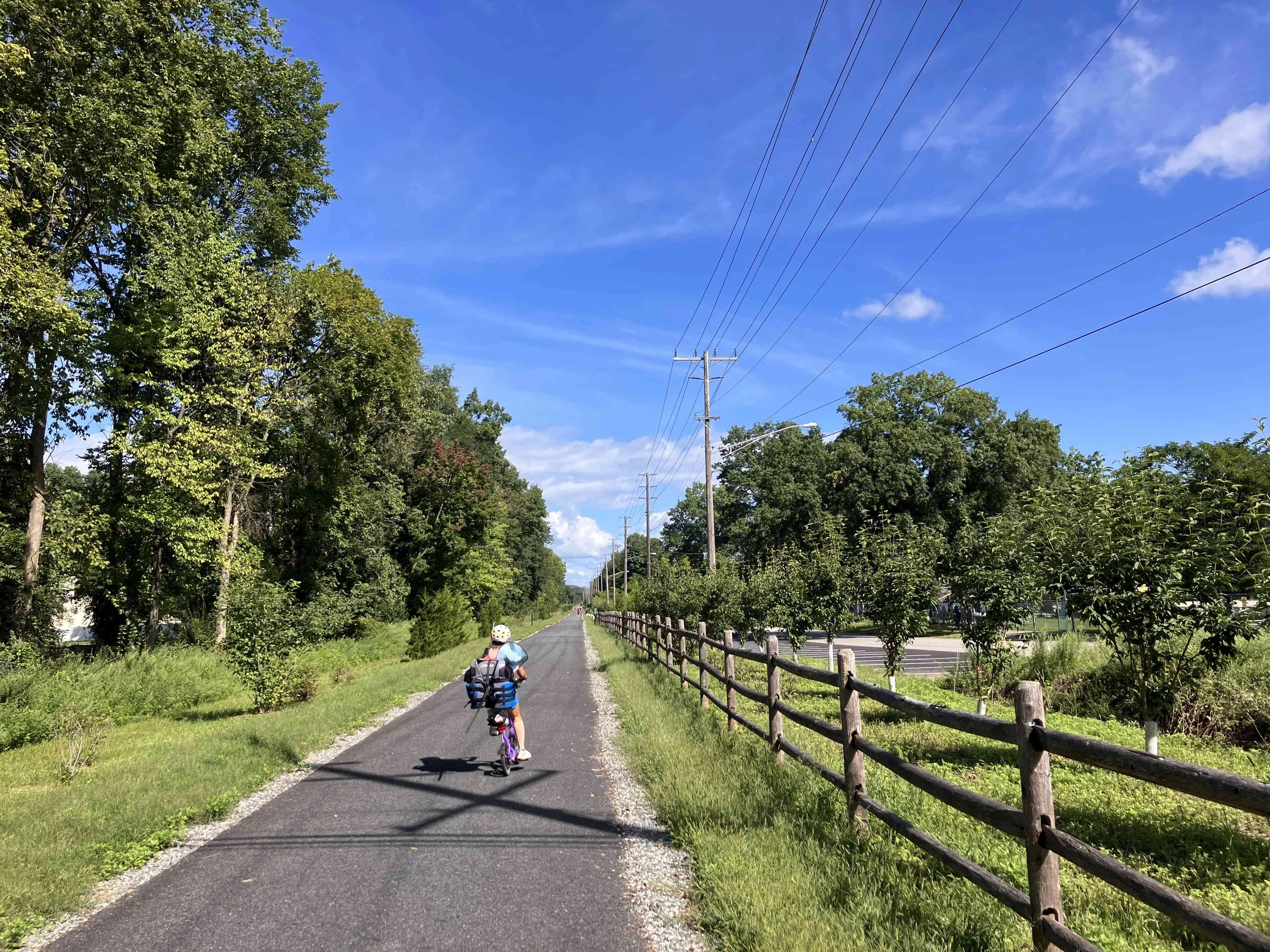
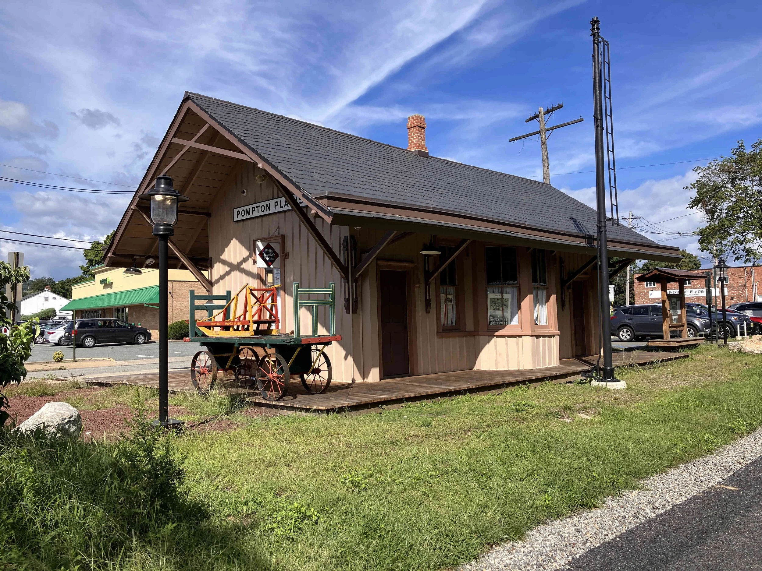
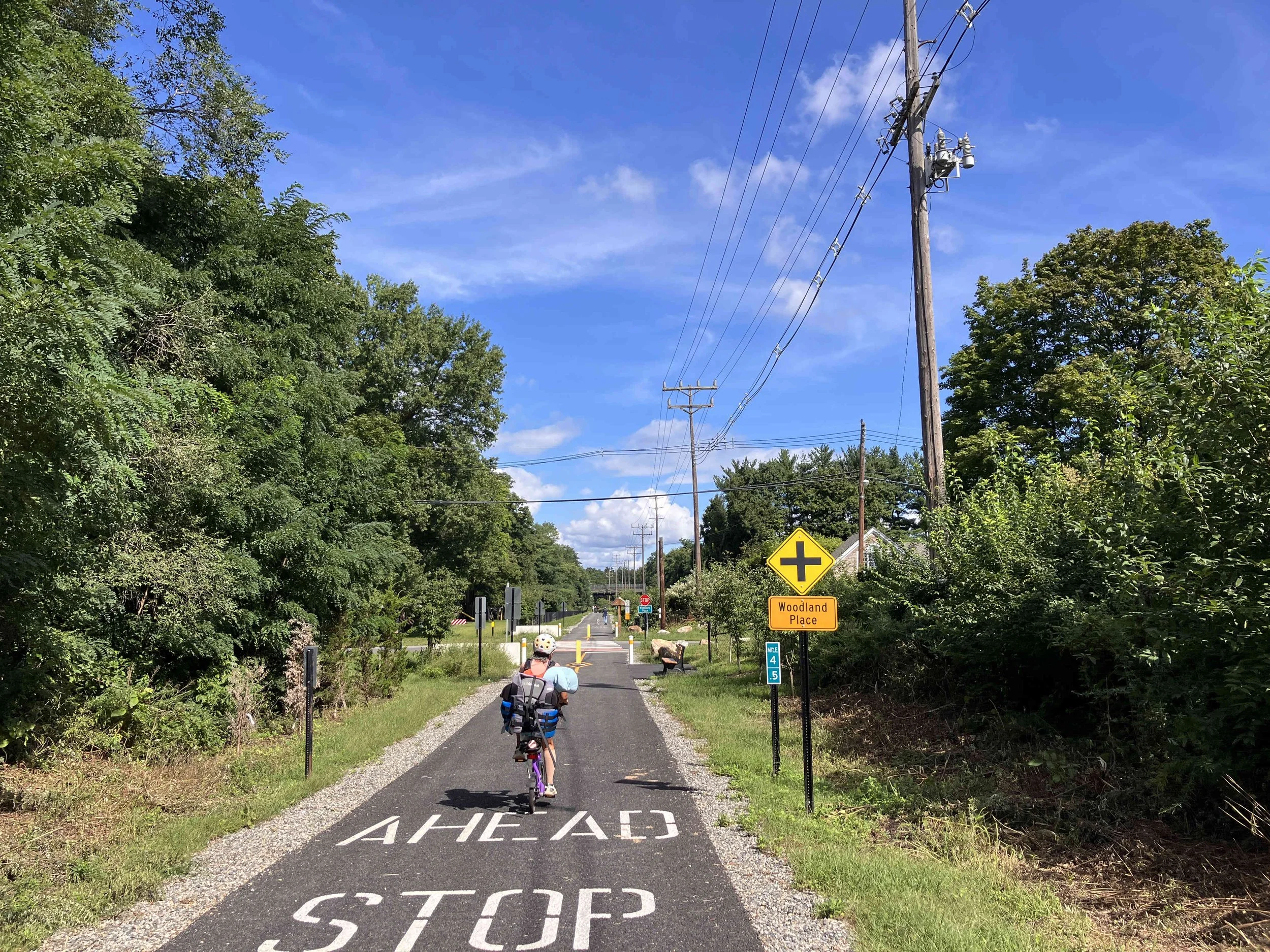
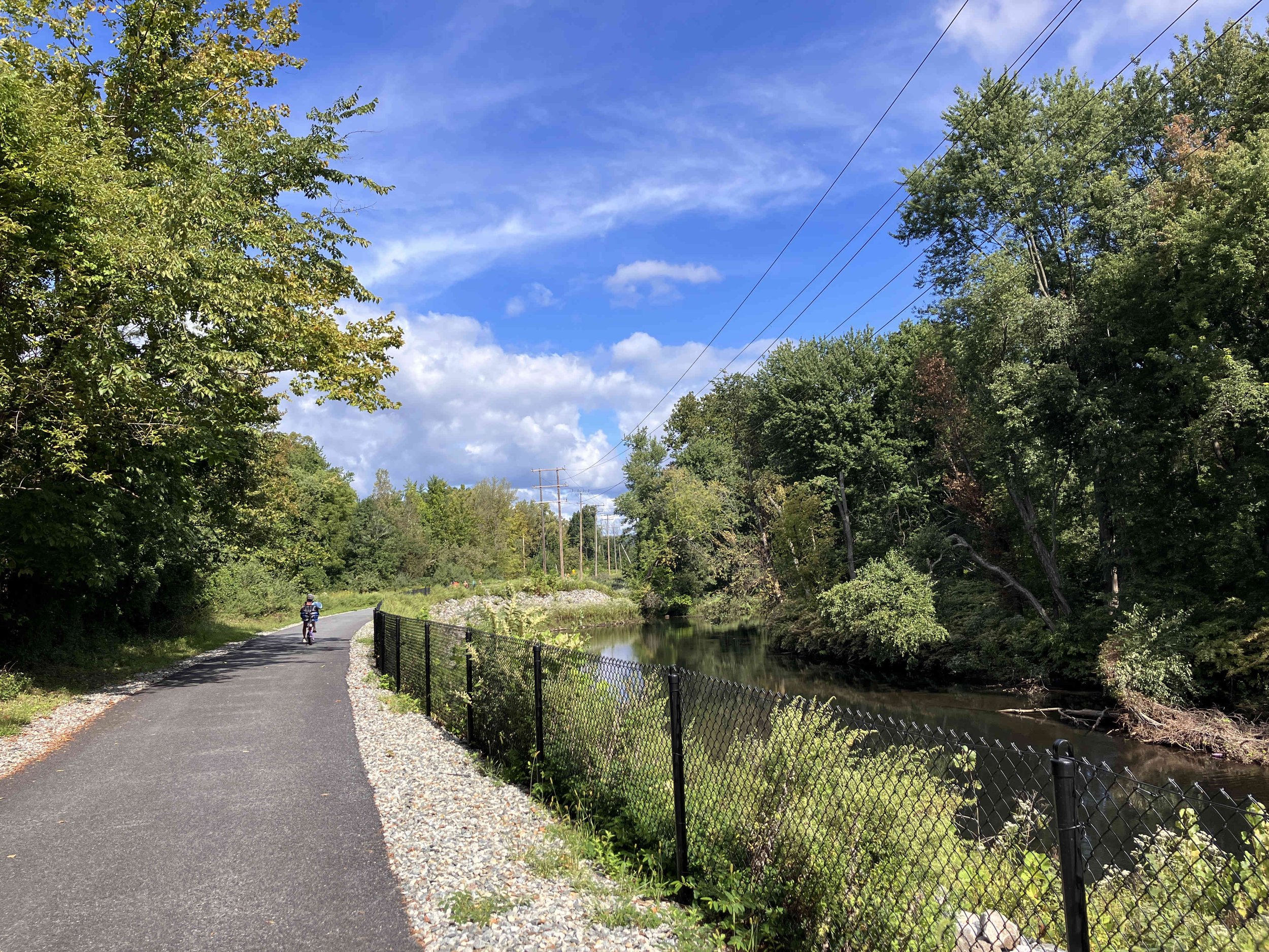
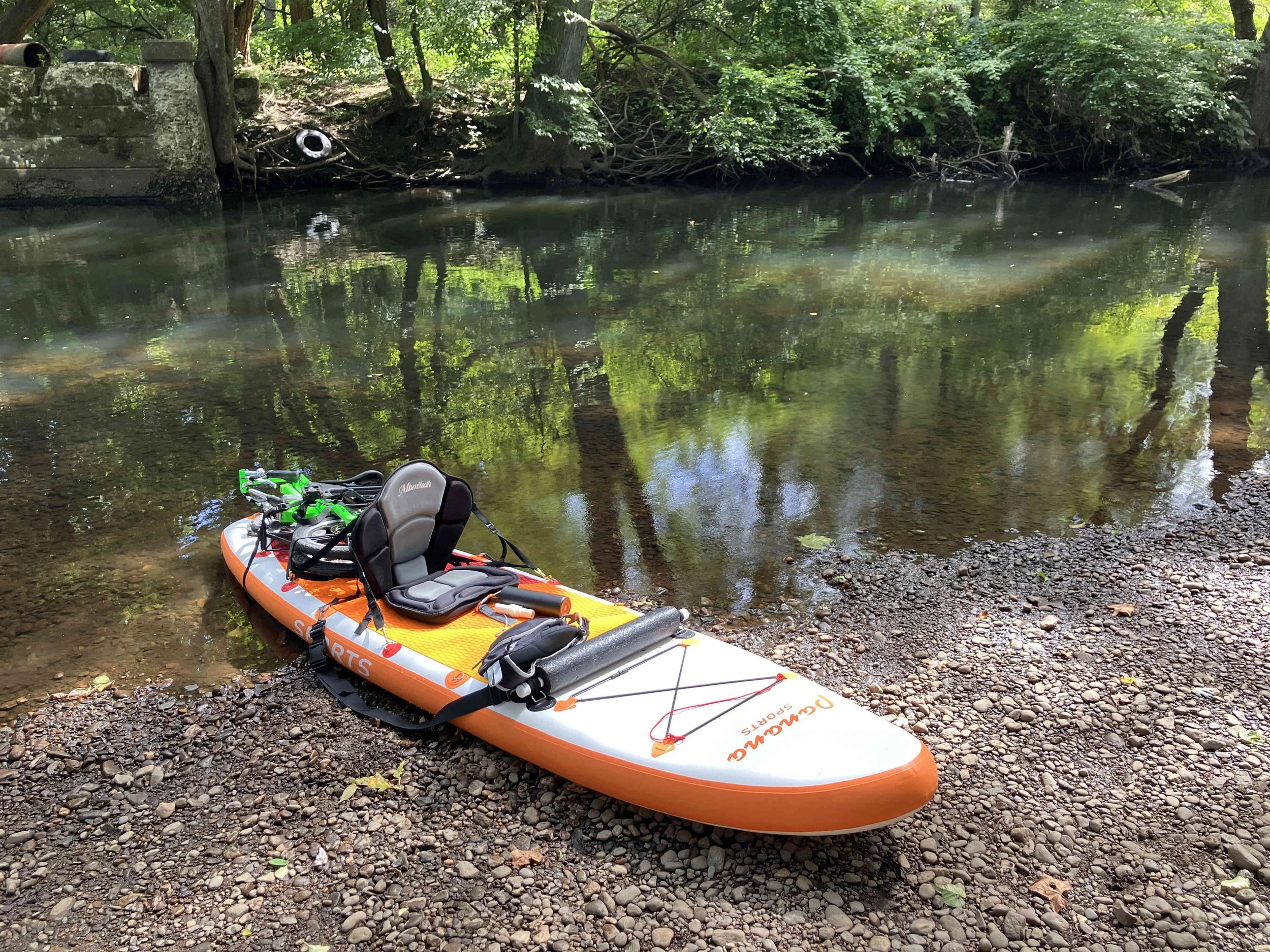
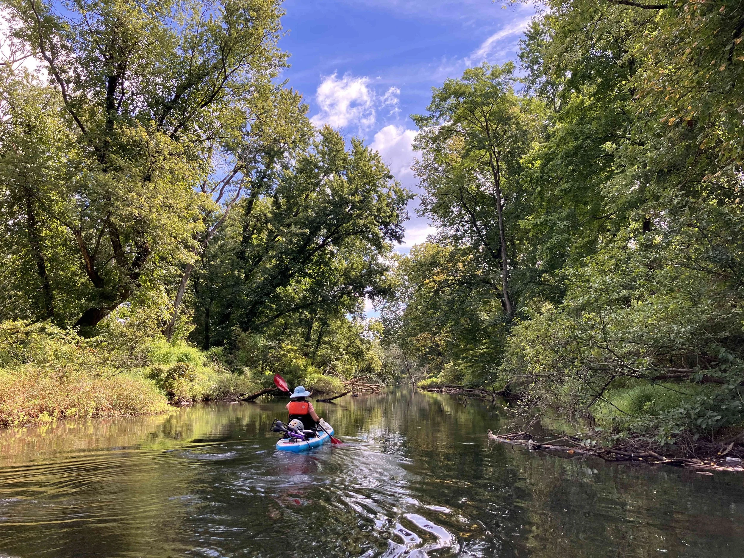
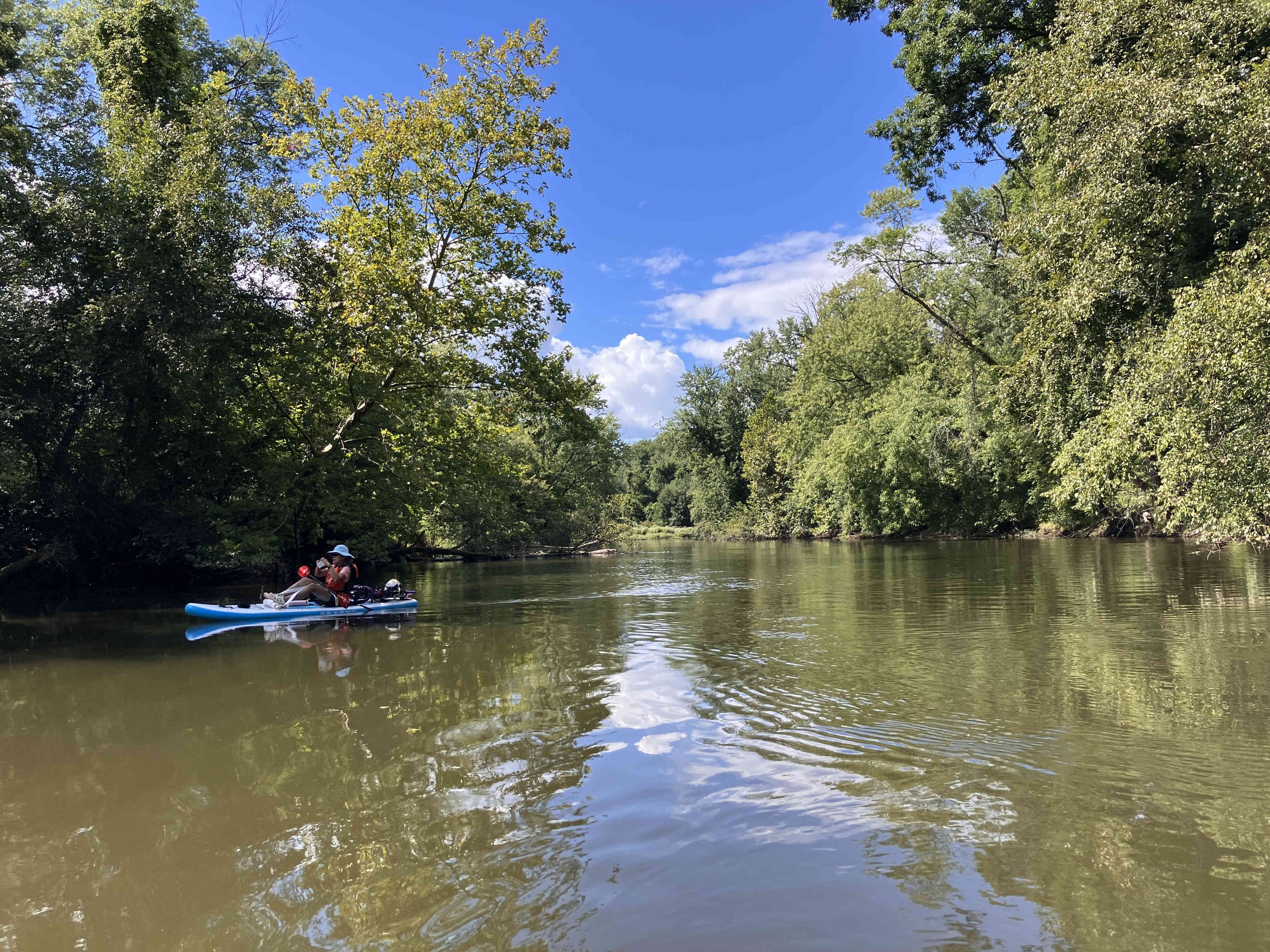
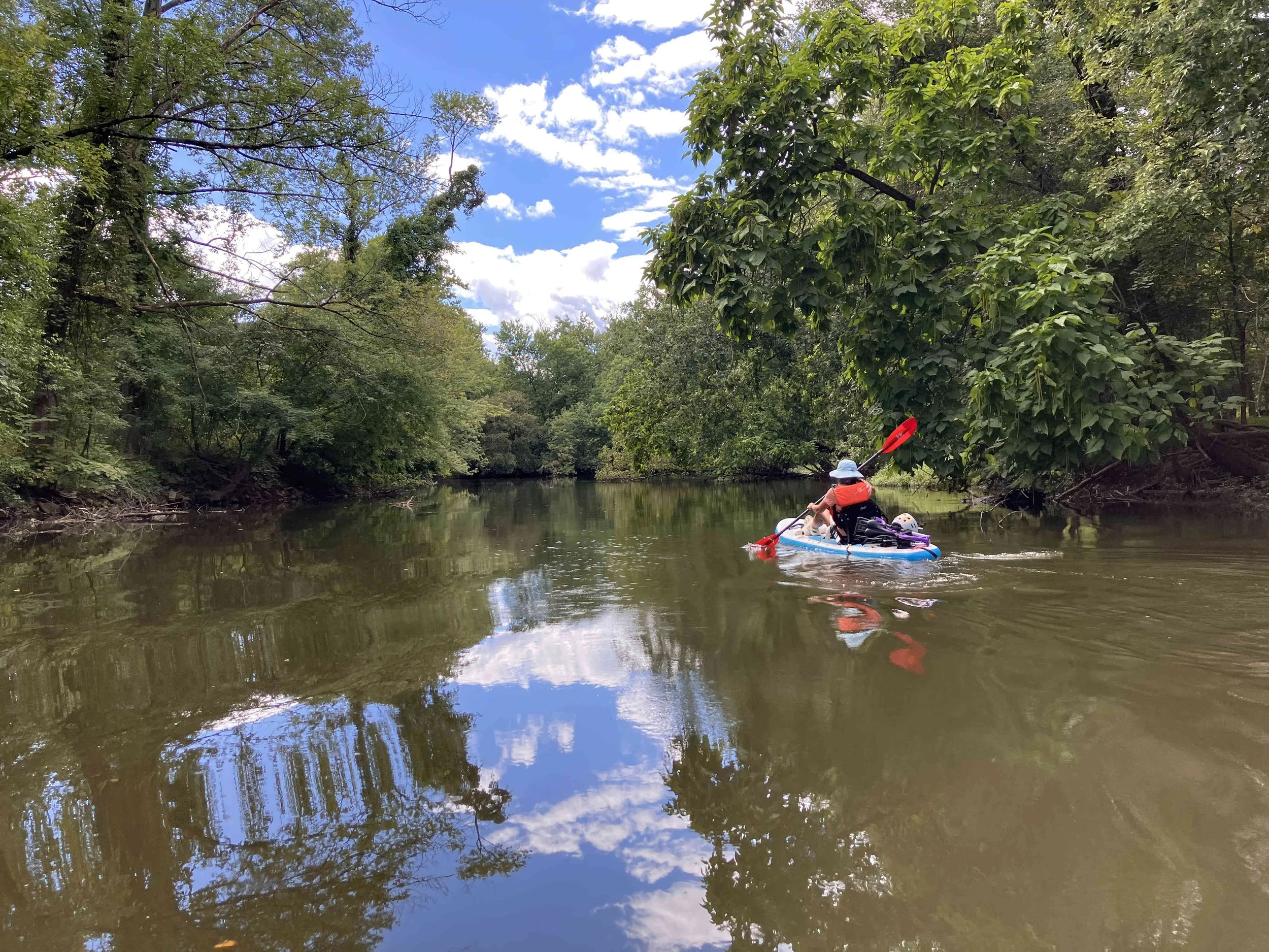
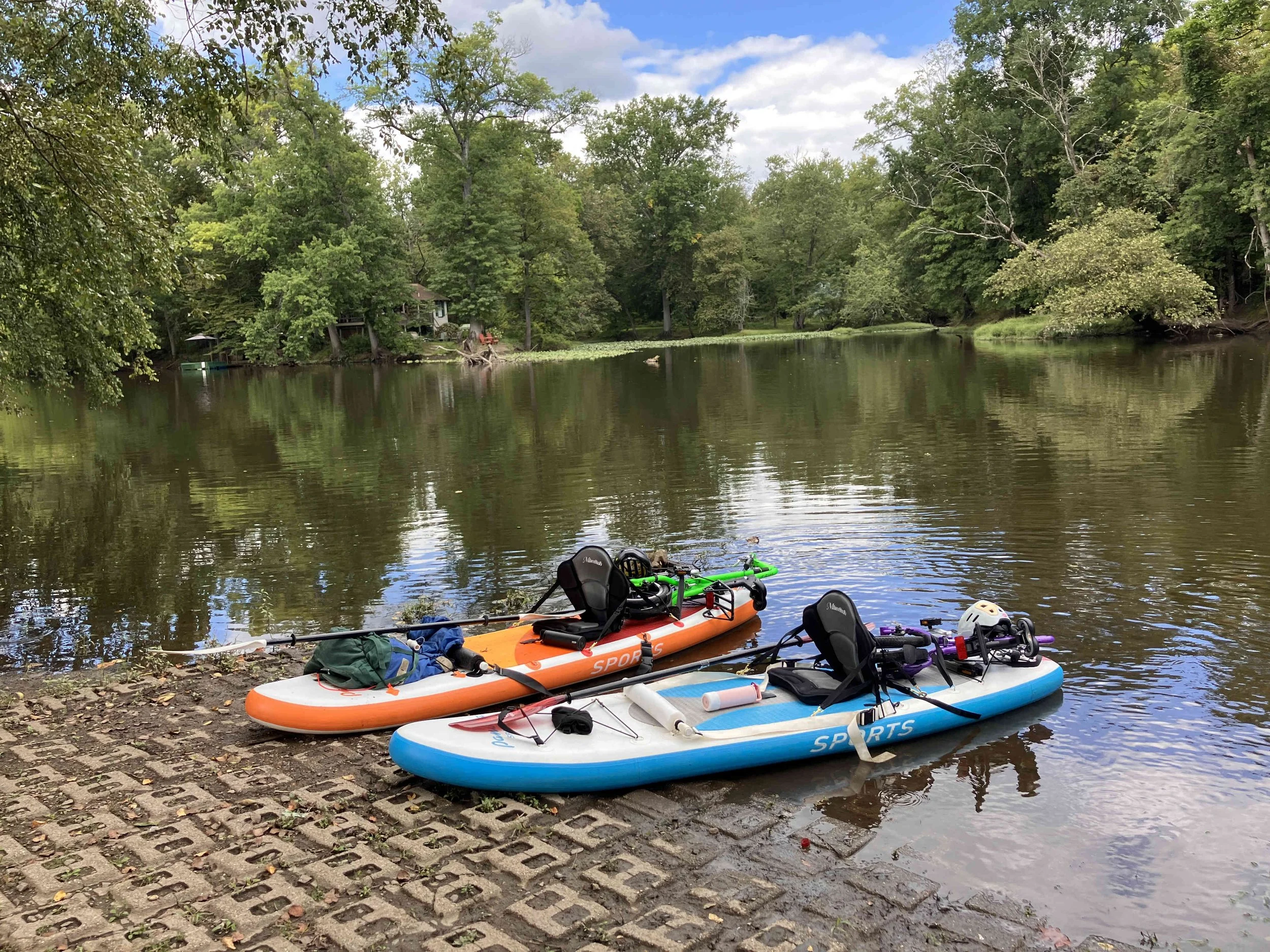
The Pompton Valley Rail Trail runs parallel to the Pompton River. It starts near the Lincoln Park Boat Launch and goes up to the put-in at the top of the river. To take advantage of this bicycle path, one needs a boat that can go on a bicycle, and a bicycle that can go on a boat. We had both.